


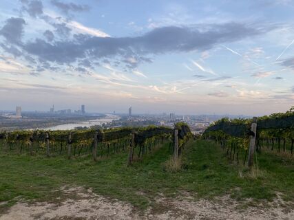
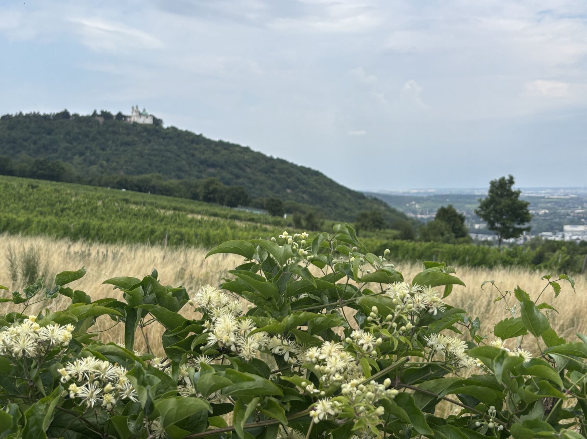
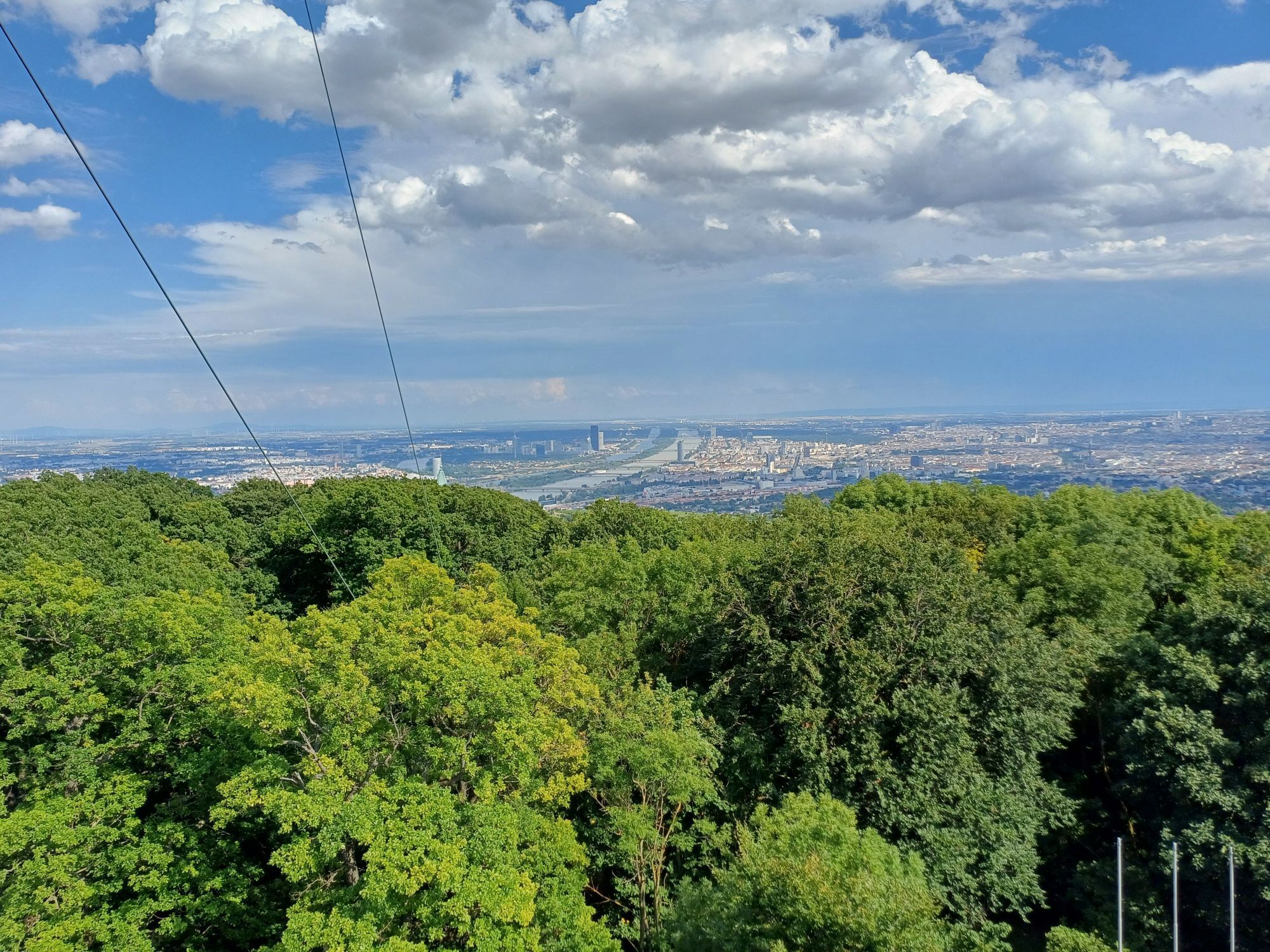
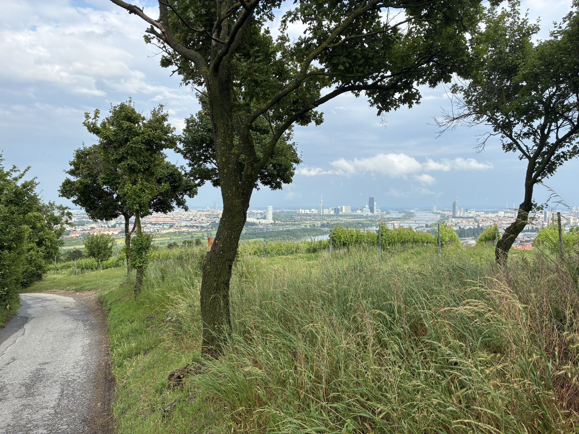
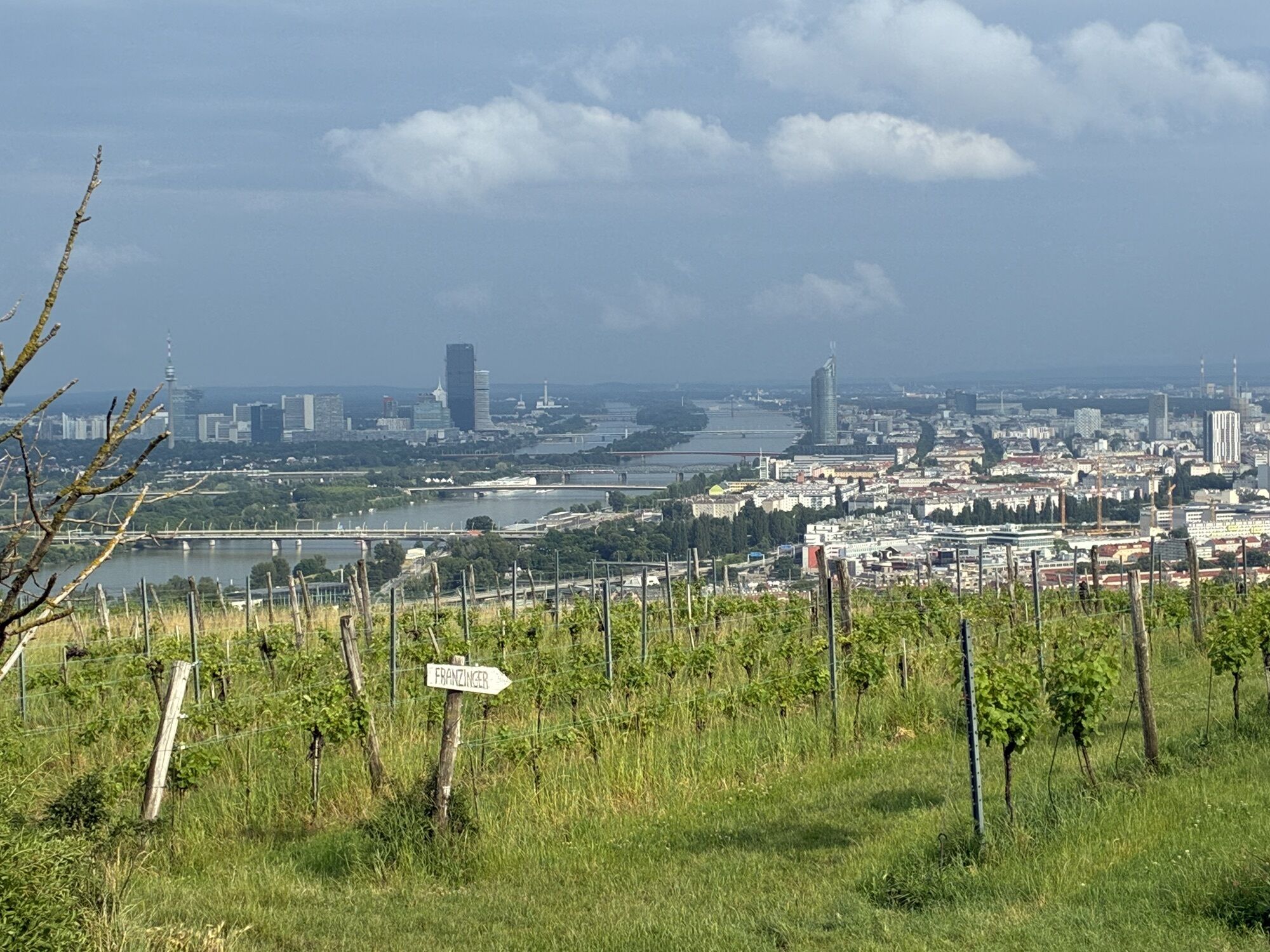
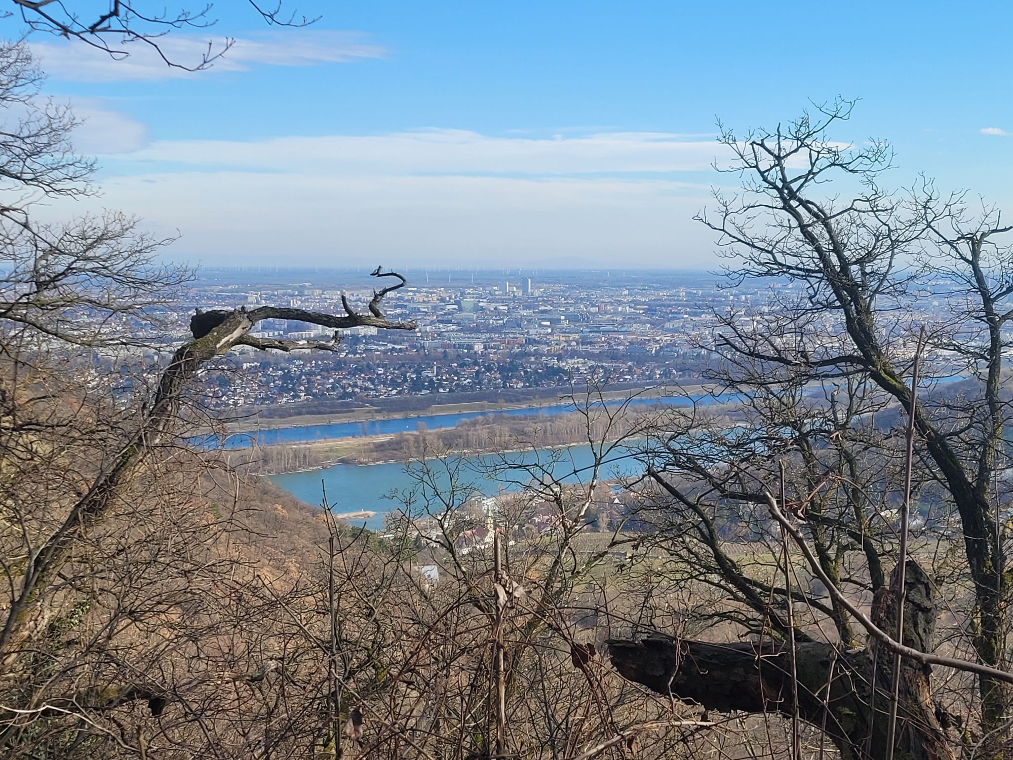
Stadtwanderweg 1 Kahlenberg (lt. Beschilderung)


Foto dei nostri utenti
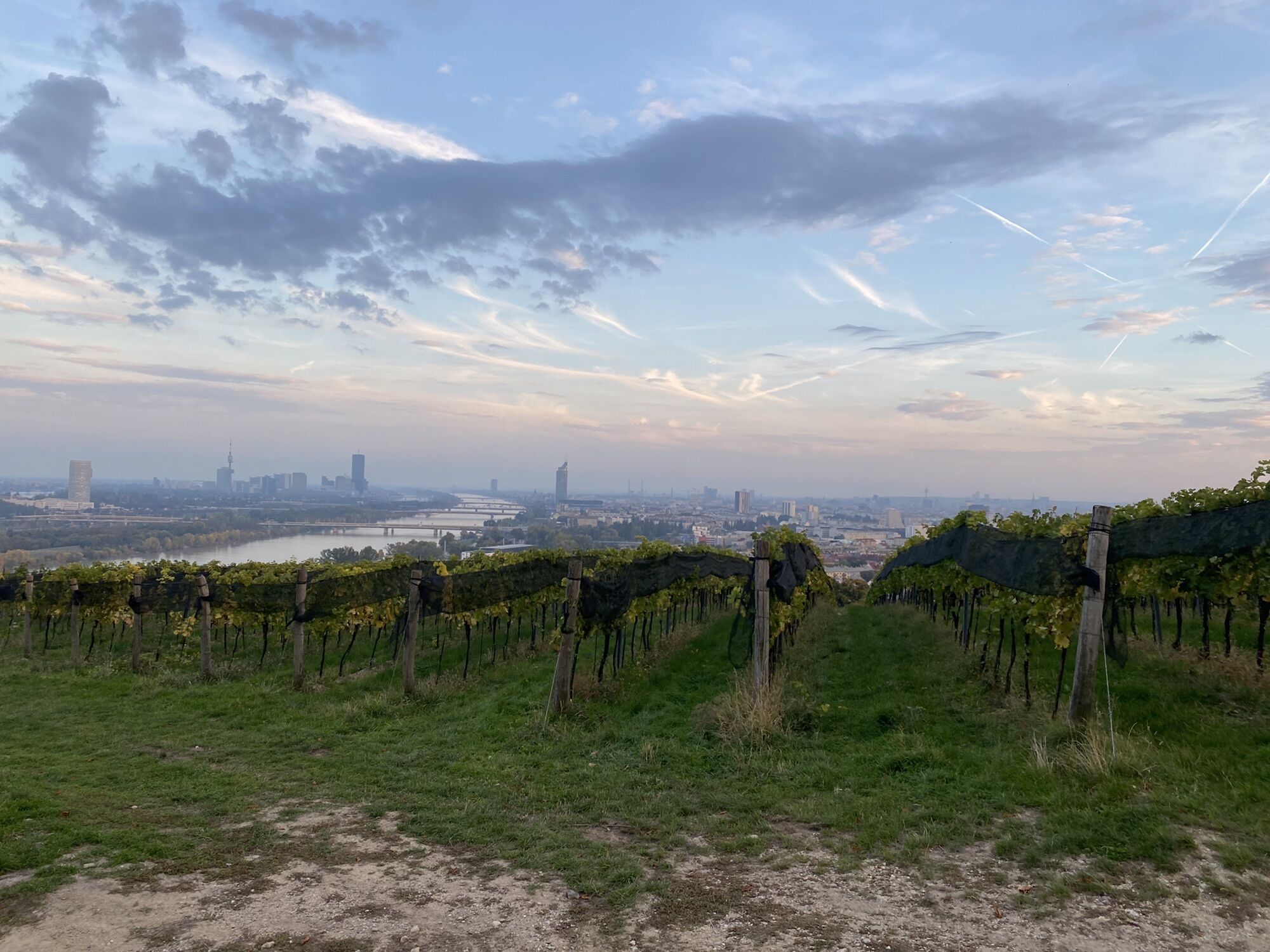
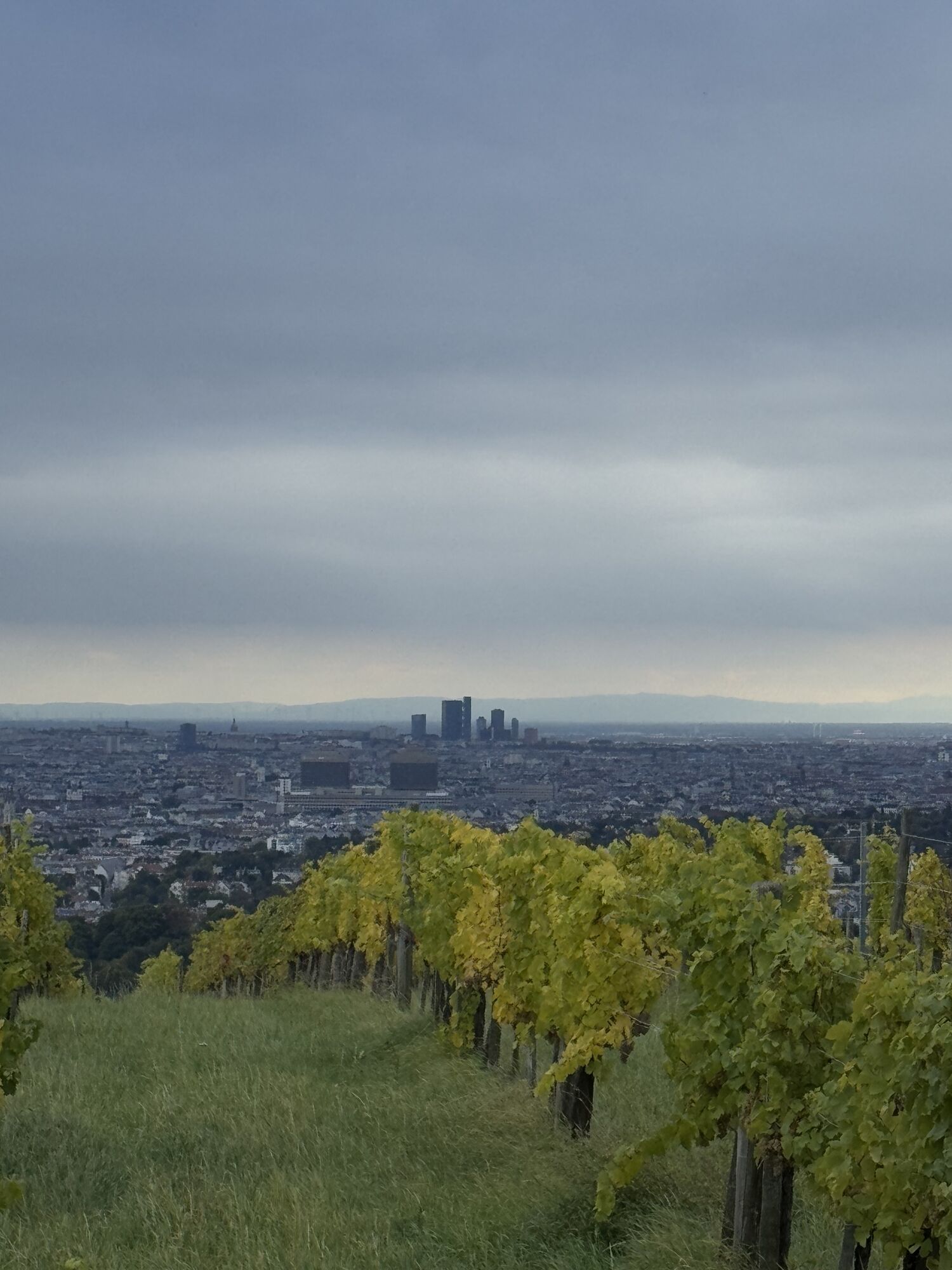
 © Philip Meisterl 1Creato il 08.10.2022
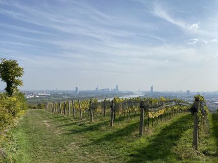 © Philip Meisterl 1Creato il 08.10.2022
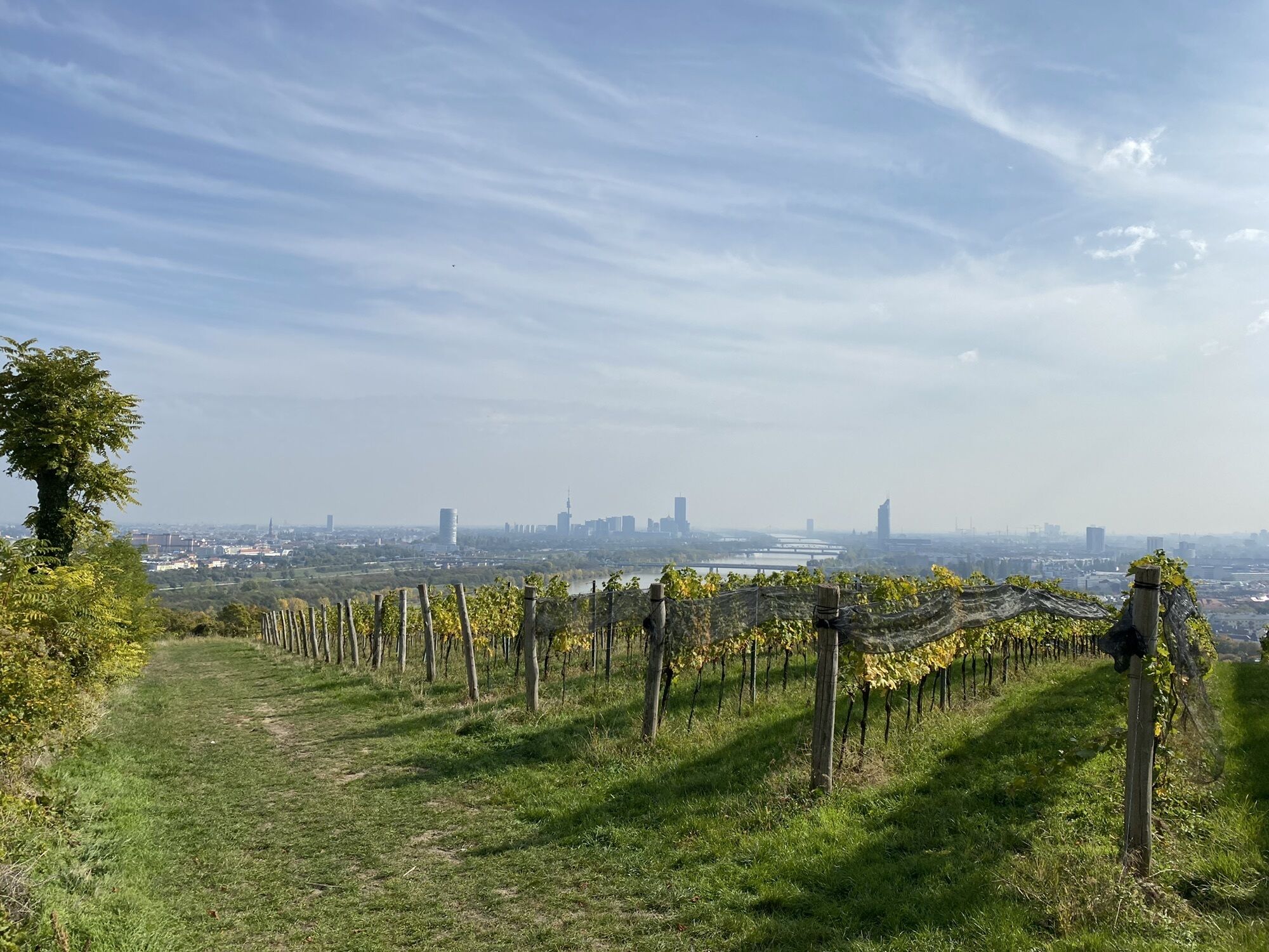
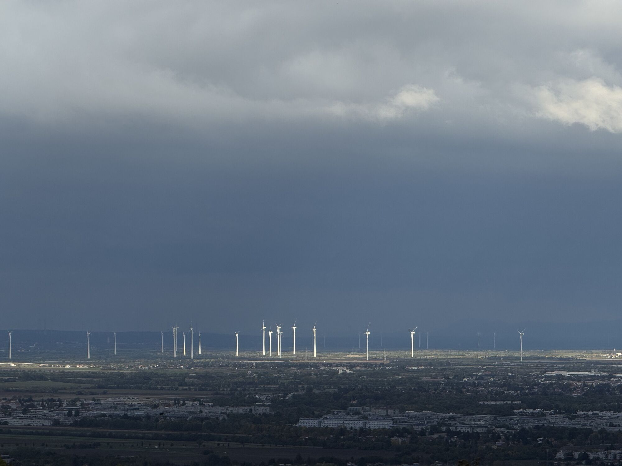
 © Philipp FCreato il 02.06.2020
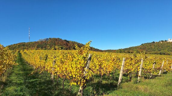
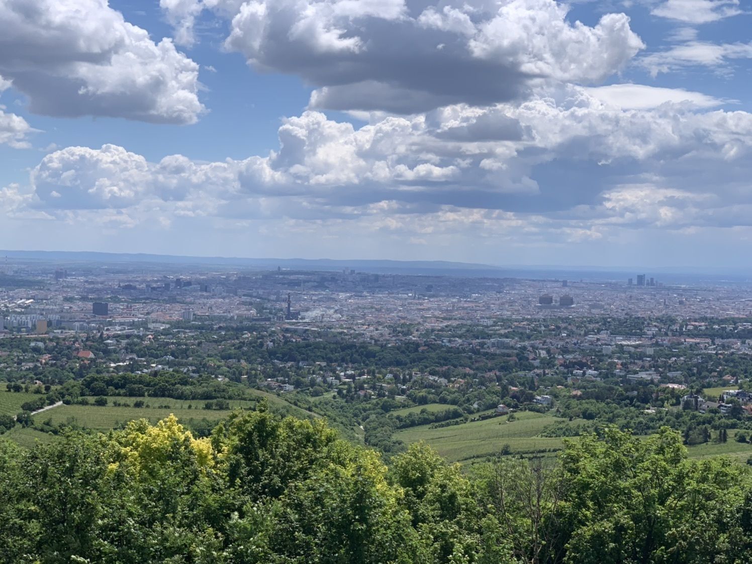
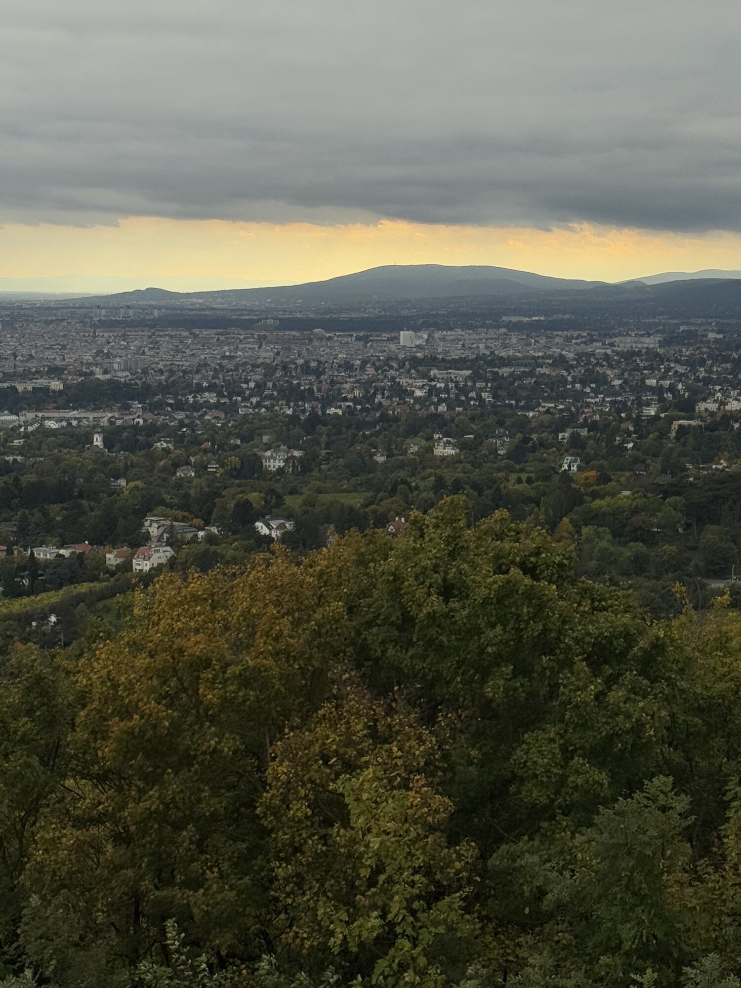
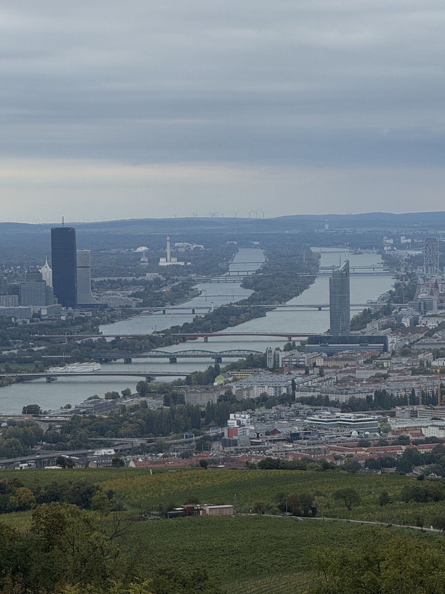
 © Regina FleischmannCreato il 16.10.2025
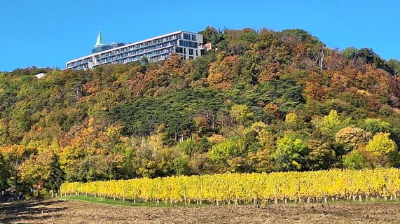 © Regina FleischmannCreato il 16.10.2025
 © Regina FleischmannCreato il 16.10.2025
 © Regina FleischmannCreato il 16.10.2025
 © Regina FleischmannCreato il 16.10.2025
 © Regina FleischmannCreato il 16.10.2025
 © Regina FleischmannCreato il 16.10.2025
 © Regina FleischmannCreato il 16.10.2025
 © Regina FleischmannCreato il 16.10.2025
 © Regina FleischmannCreato il 16.10.2025
 © Regina FleischmannCreato il 16.10.2025
 © Regina FleischmannCreato il 16.10.2025
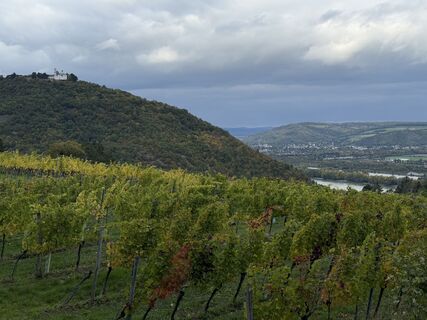
 © Iulia RubtsovaCreato il 10.10.2025
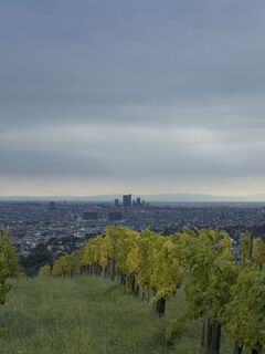 © Iulia RubtsovaCreato il 10.10.2025
 © Iulia RubtsovaCreato il 10.10.2025
 © Iulia RubtsovaCreato il 10.10.2025
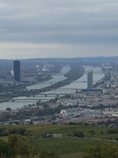 © Iulia RubtsovaCreato il 10.10.2025
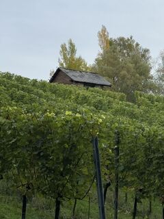 © Iulia RubtsovaCreato il 10.10.2025
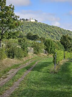
 © Harri MeronenCreato il 27.09.2025
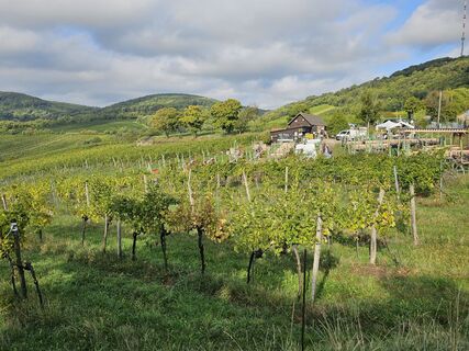 © Harri MeronenCreato il 27.09.2025
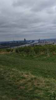
 © MeryCreato il 23.09.2025
 © MeryCreato il 23.09.2025
 © Olena DuriaginaCreato il 17.08.2025
 © Olena DuriaginaCreato il 17.08.2025
 © Olena DuriaginaCreato il 17.08.2025
 © Olena DuriaginaCreato il 17.08.2025
 © Olena DuriaginaCreato il 17.08.2025
 © Olena DuriaginaCreato il 17.08.2025
 © Olena DuriaginaCreato il 17.08.2025
 © Robert KremlickaCreato il 24.07.2025
 © Tom TheuerCreato il 13.07.2025
 © Tom TheuerCreato il 13.07.2025
 © Lothar BodingbauerCreato il 08.06.2025
 © Lothar BodingbauerCreato il 08.06.2025
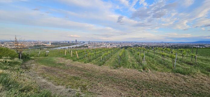
 © Arnold BurböckCreato il 29.05.2025
 © Arnold BurböckCreato il 29.05.2025
 © Walter SpevakCreato il 19.04.2025
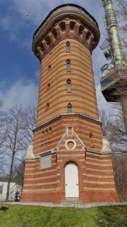 © bergwolfiCreato il 24.03.2025
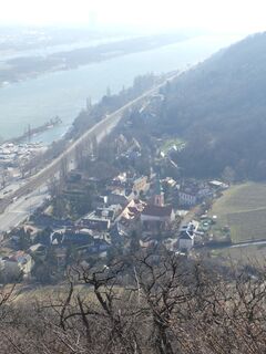
 © Karin SteindlCreato il 22.02.2025
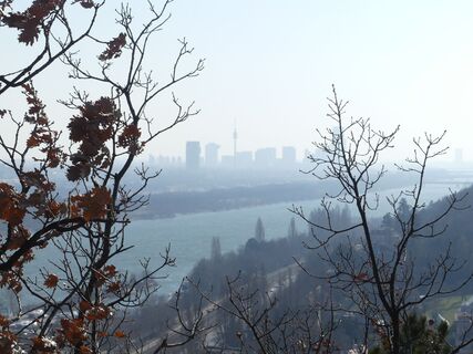 © Karin SteindlCreato il 22.02.2025
 © mmeckiCreato il 26.01.2025
 © mmeckiCreato il 26.01.2025
 © mmeckiCreato il 26.01.2025
 © mmeckiCreato il 26.01.2025
 © mmeckiCreato il 26.01.2025


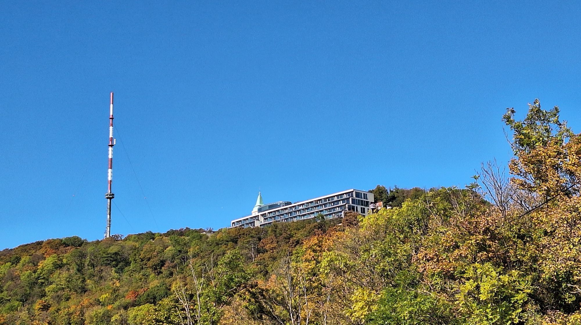
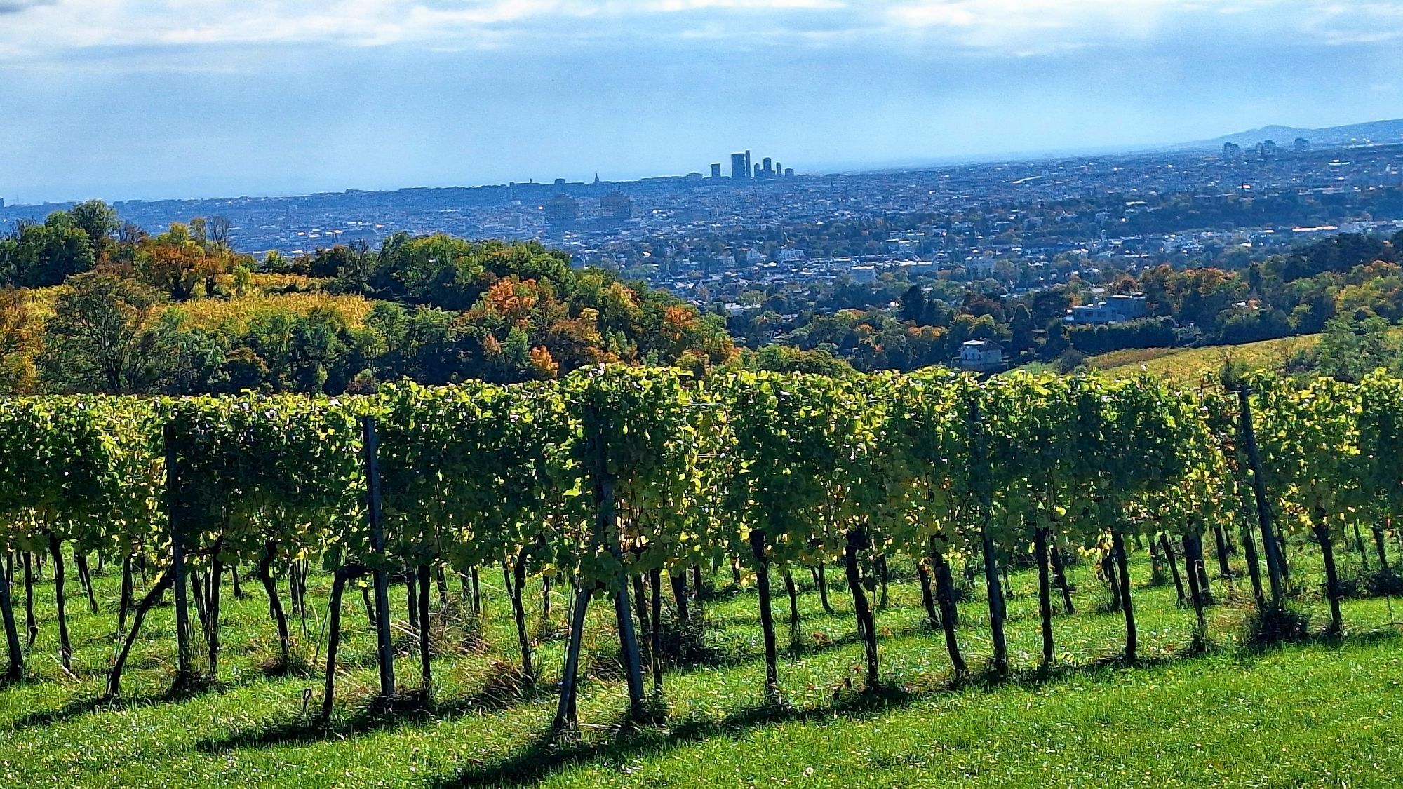
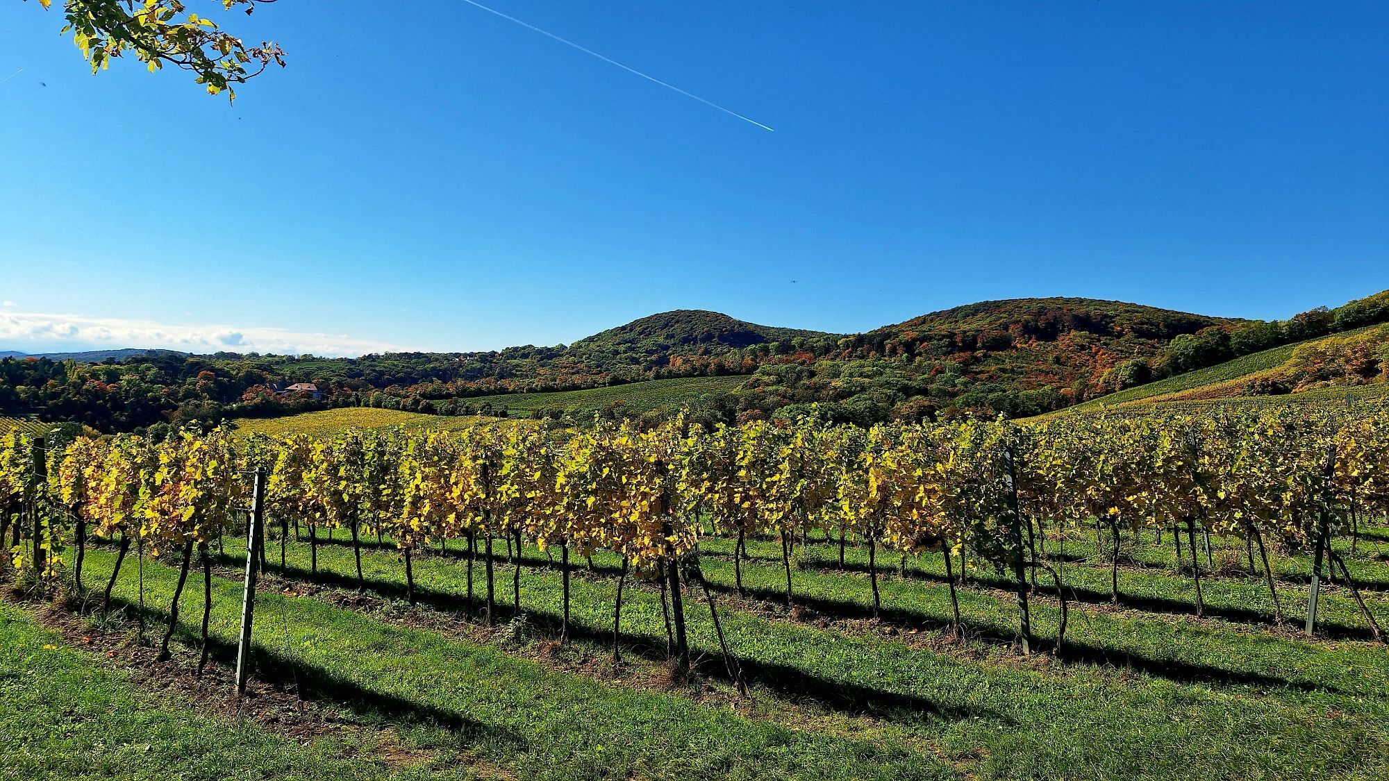
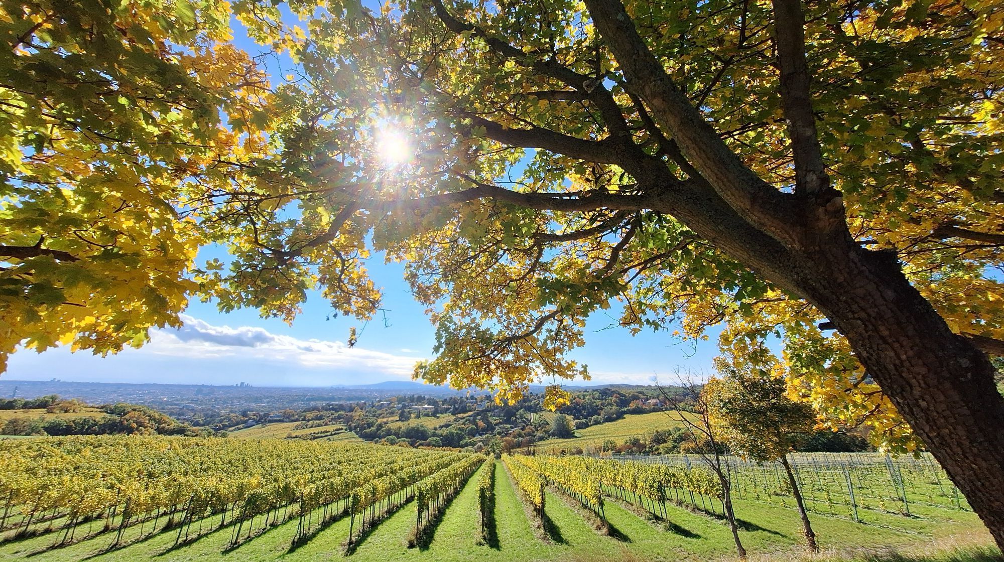


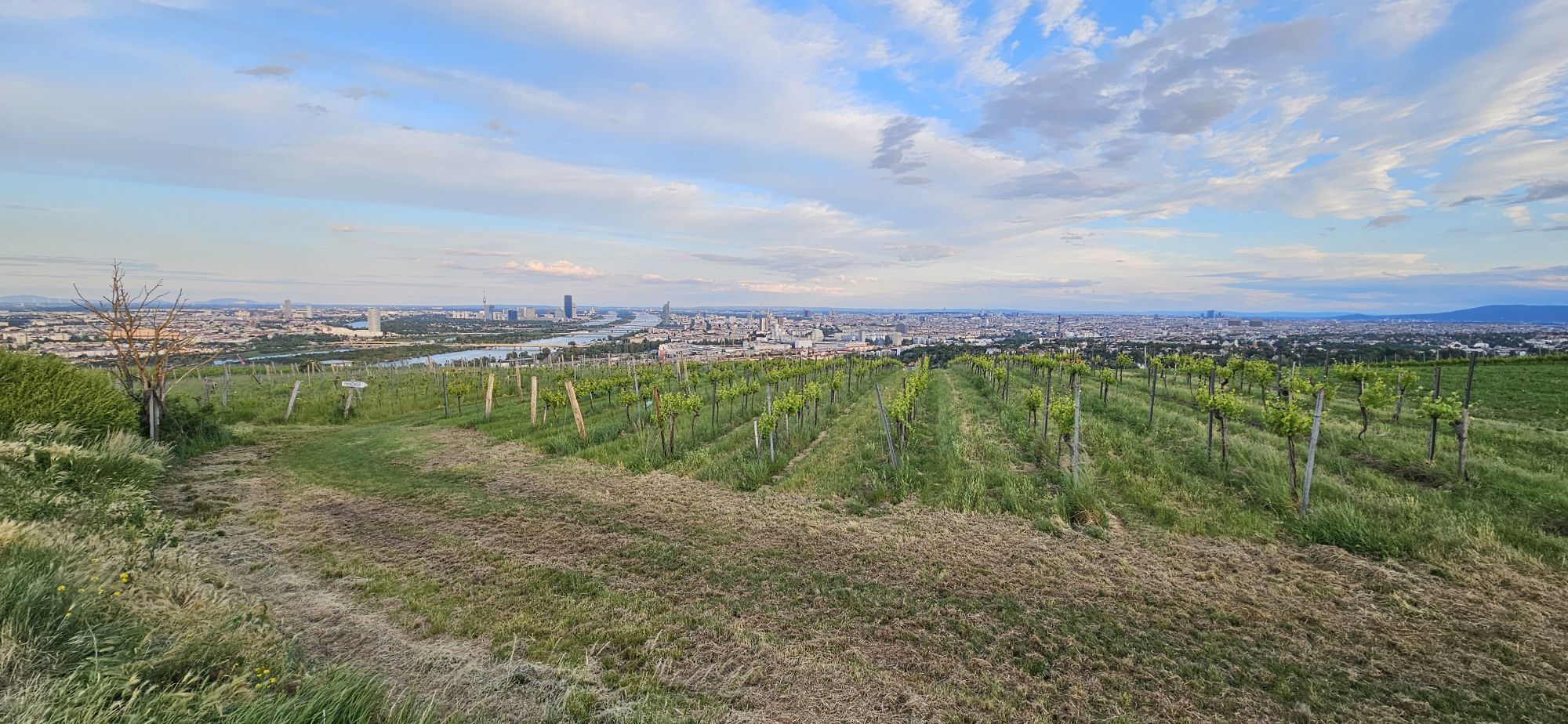
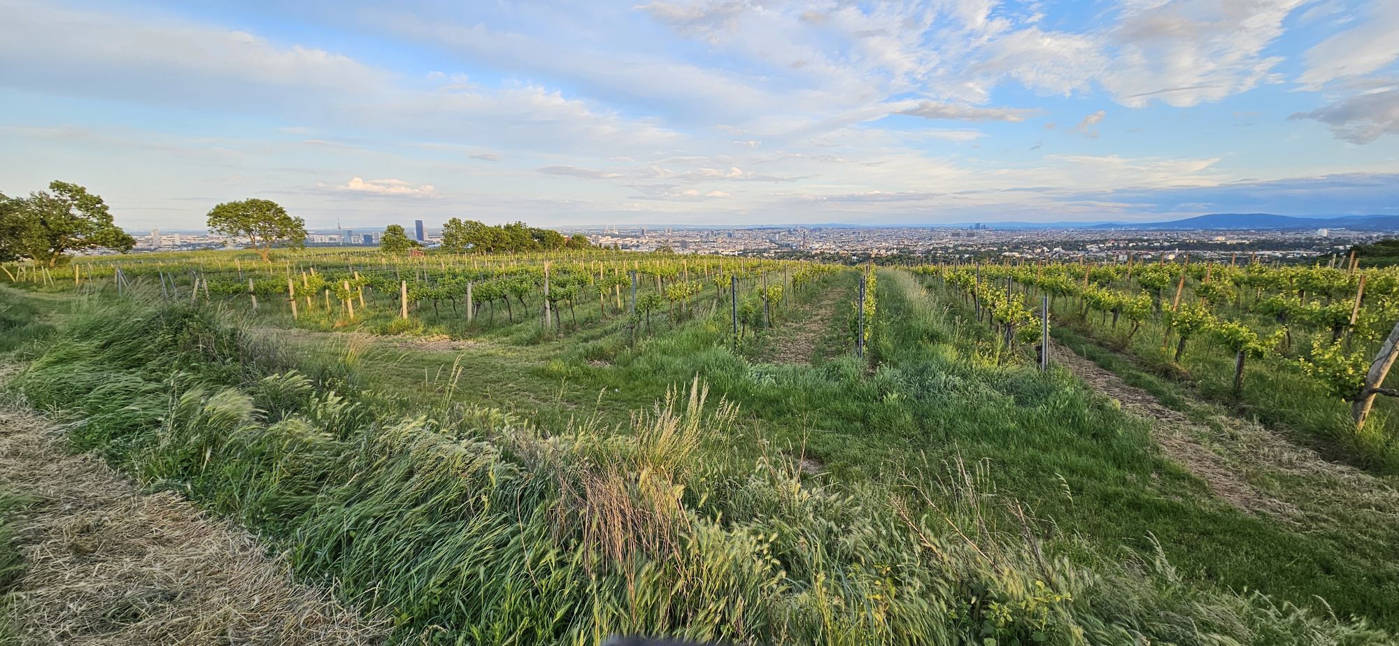
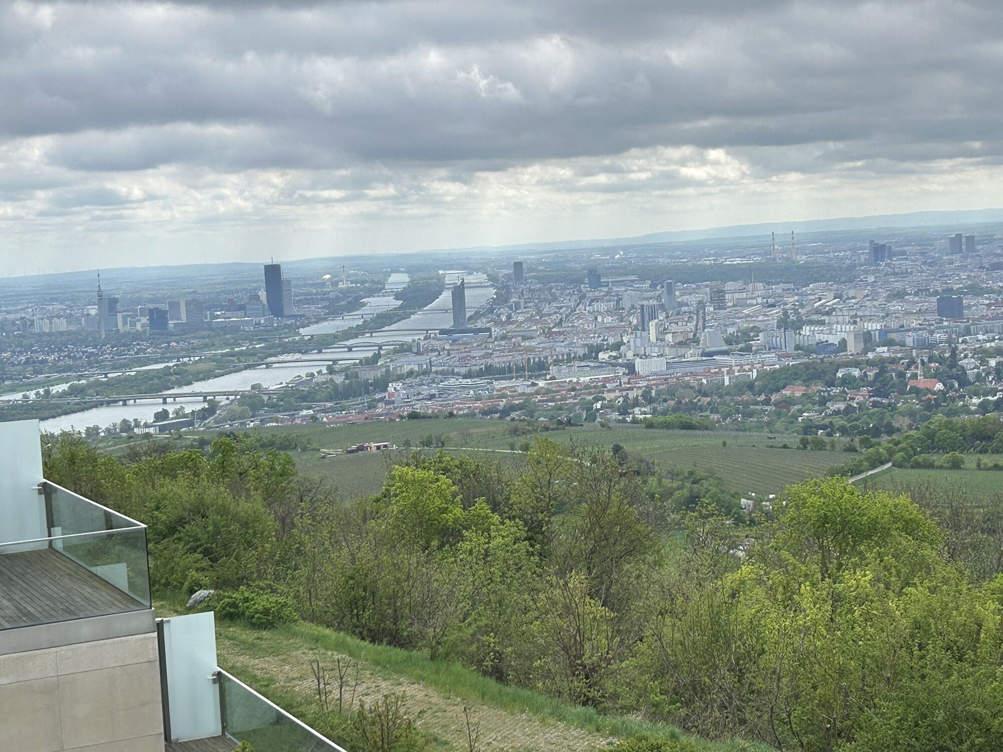

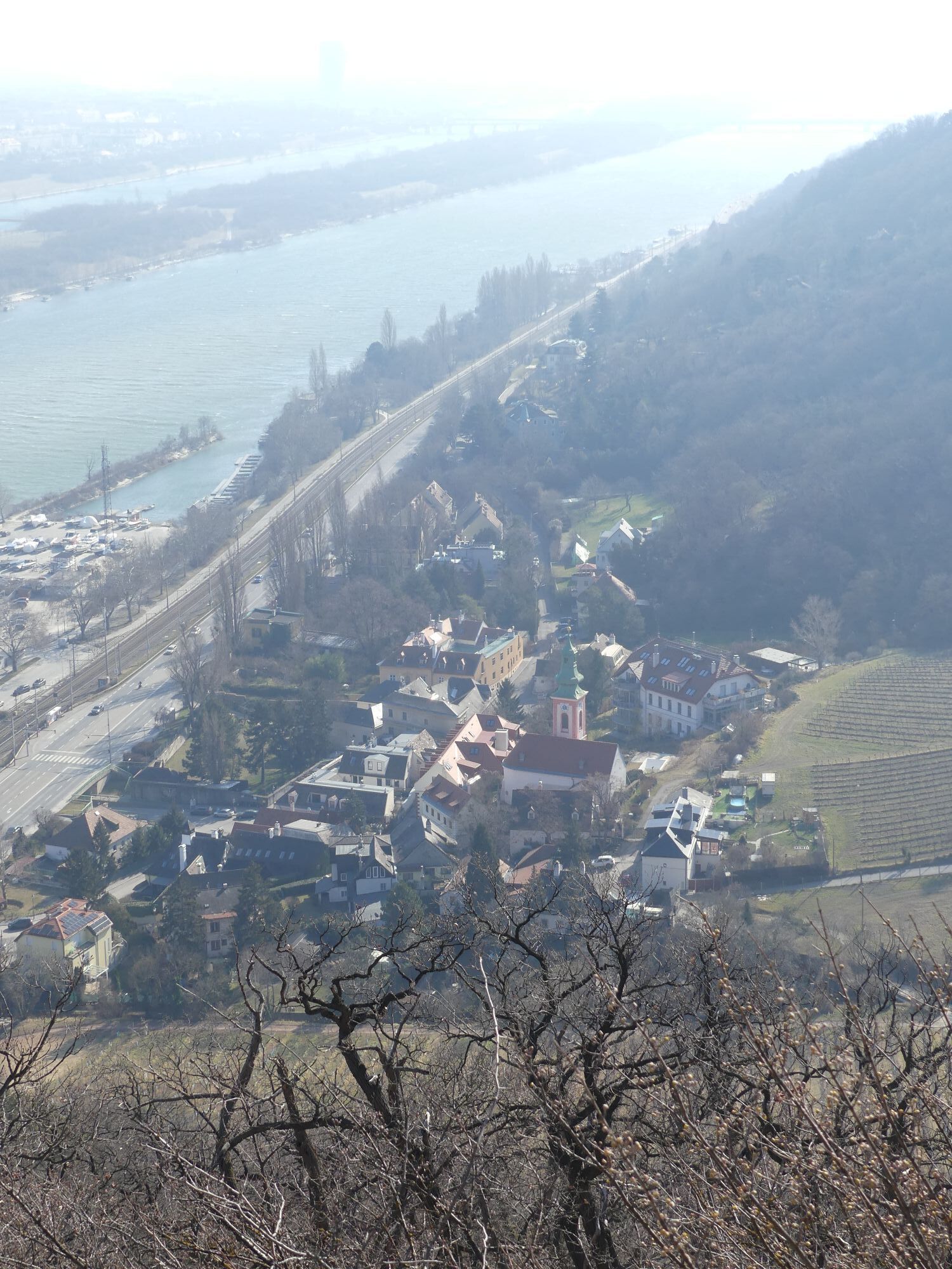

Route Straßenbahn D Endstation Nußdorf - Zahnradbahnstraße - Beethovengang - Wildgrubgasse - Wildgrube - Sulzwiese - entlang der Höhenstraße - Sender Kahlenberg - Josefinenhütten - Eiserne Hand - Eisernenhandgasse...
Route
Straßenbahn D Endstation Nußdorf - Zahnradbahnstraße - Beethovengang - Wildgrubgasse - Wildgrube - Sulzwiese - entlang der Höhenstraße - Sender Kahlenberg - Josefinenhütten - Eiserne Hand - Eisernenhandgasse - Kahlenberger Straße - Eichelhofweg - Eichelhofstraße - Nußberggasse - Bockkellergasse - Straßenbahn D Endstation Nußdorf


Sì
Sì
Straßenbahn D Endstation Nußdorf
Straßenbahn Linie D
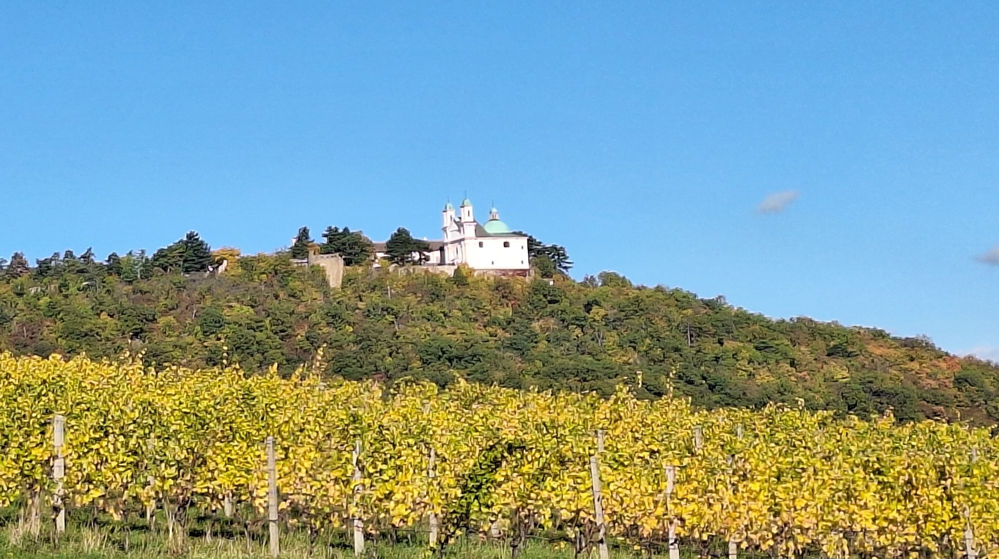
Stempelstelle für den Wanderpass: Josefinenhütte - Die Hütte am Weg, 19., Josefsdorf 47
I tour più popolari nelle vicinanze
- 4,6
Stadtwanderweg 1a - Leopoldsberg / lt. Beschilderung
medioEscursionismo10,2 km - 4,5
Nasenweg Leopoldsberg Rundweg
medioEscursionismo4,08 km - 4,5
Stadtwanderweg 3, Hameau (lt. Beschilderung)
luceEscursionismo9,78 km - 4,4
Stadtwanderweg 9 - Prater / lt. Beschilderung
luceEscursionismo13,0 km - 5,0
Stadtwanderweg 1
luceEscursionismo11,1 km - 3,3
Stadtwanderweg 10
luceEscursionismo6,90 km - 4,8
Stadtwanderweg #2, Hermannskogel, Top of Vienna 😆
luceEscursionismo11,1 km - 4,5
Stadtwanderweg 7 - Laaer Berg / lt. Beschilderung
luceEscursionismo14,2 km - 4,5
von Purkersdorf zur Rudolfshöhe
luceEscursionismo4,72 km - 4,6
Wien: Bisamberg - Elisabethhöhe
Escursionismo7,69 km
Escursioni e tracking


Non perdete le offerte e le ispirazioni per le vostre prossime vacanze
Il vostro indirizzo e-mail è stato aggiunto alla mailing list.