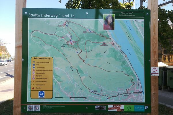
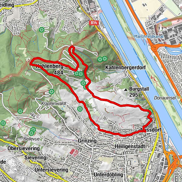
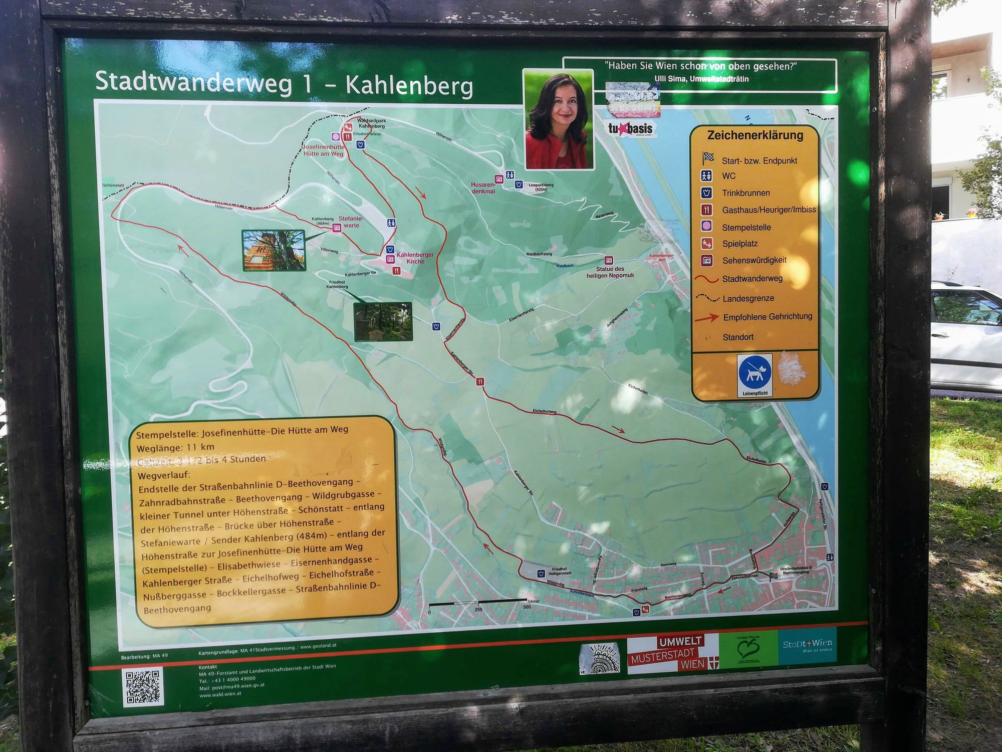
Stadtwanderweg 1 Kahlenberg (lt. Beschilderung)

Escursionismo


Dati percorsi
10,93km
230
- 519m
289hm
282hm
02:53h
- Descrizione rapida
-
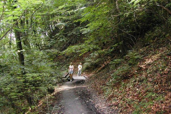
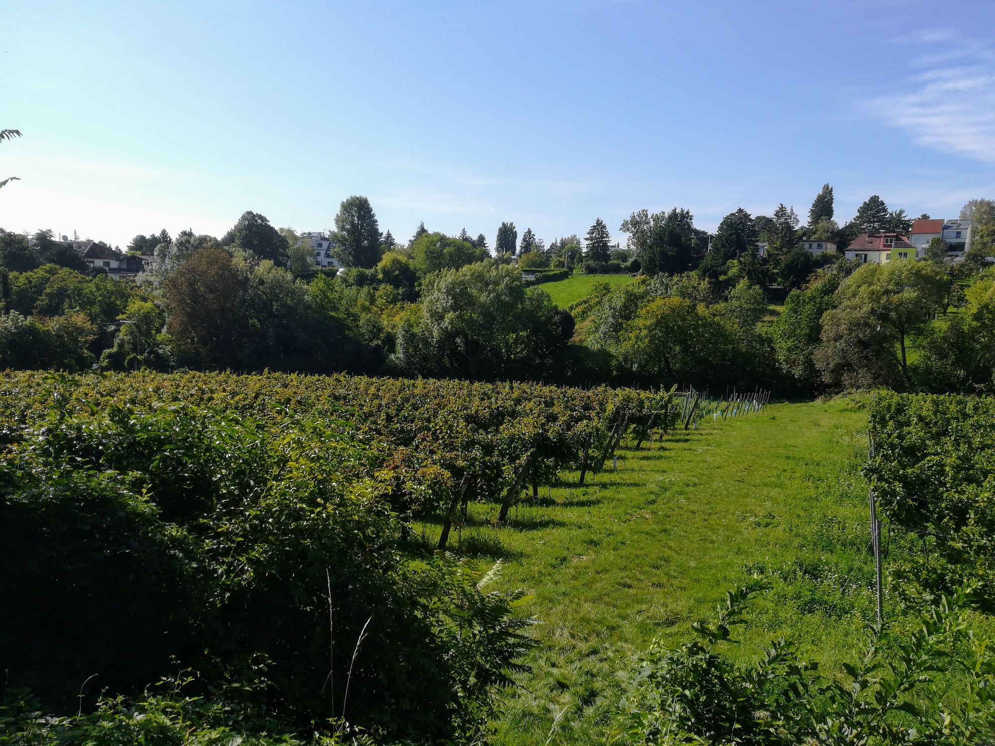
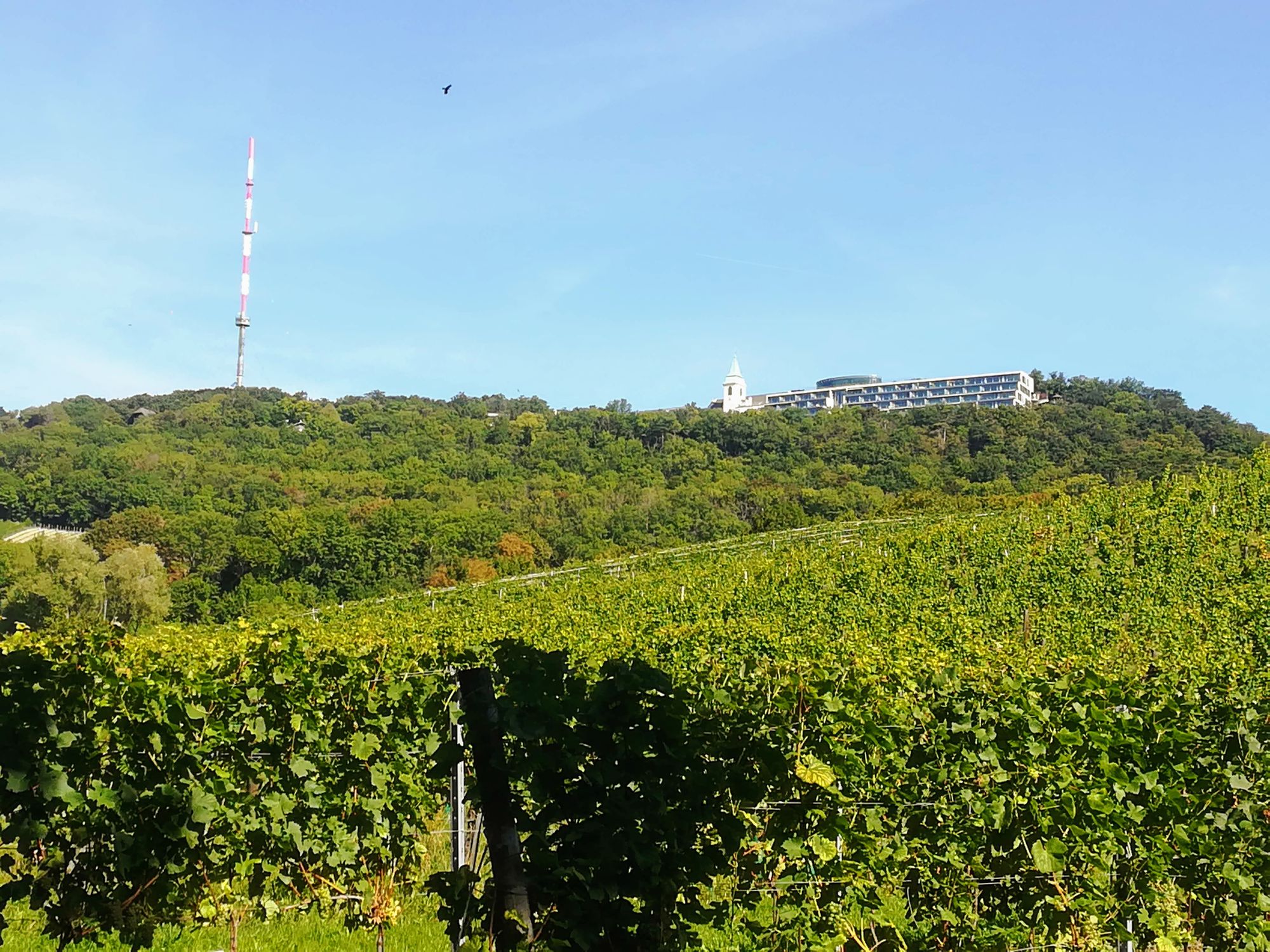
Die Wanderung bietet einen Aufstieg durch Weinberge und bewaldete Höhen sowie einen herrlichen Blick über Wien und die Donau.
- Difficoltà
-
facile
- Valutazione
-
- Punto di partenza
-
Straßenbahn D Endstation Nußdorf
- Percorso
-
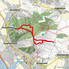
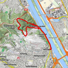
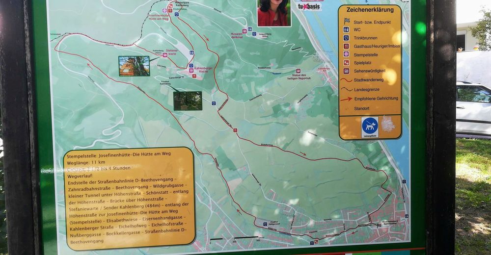
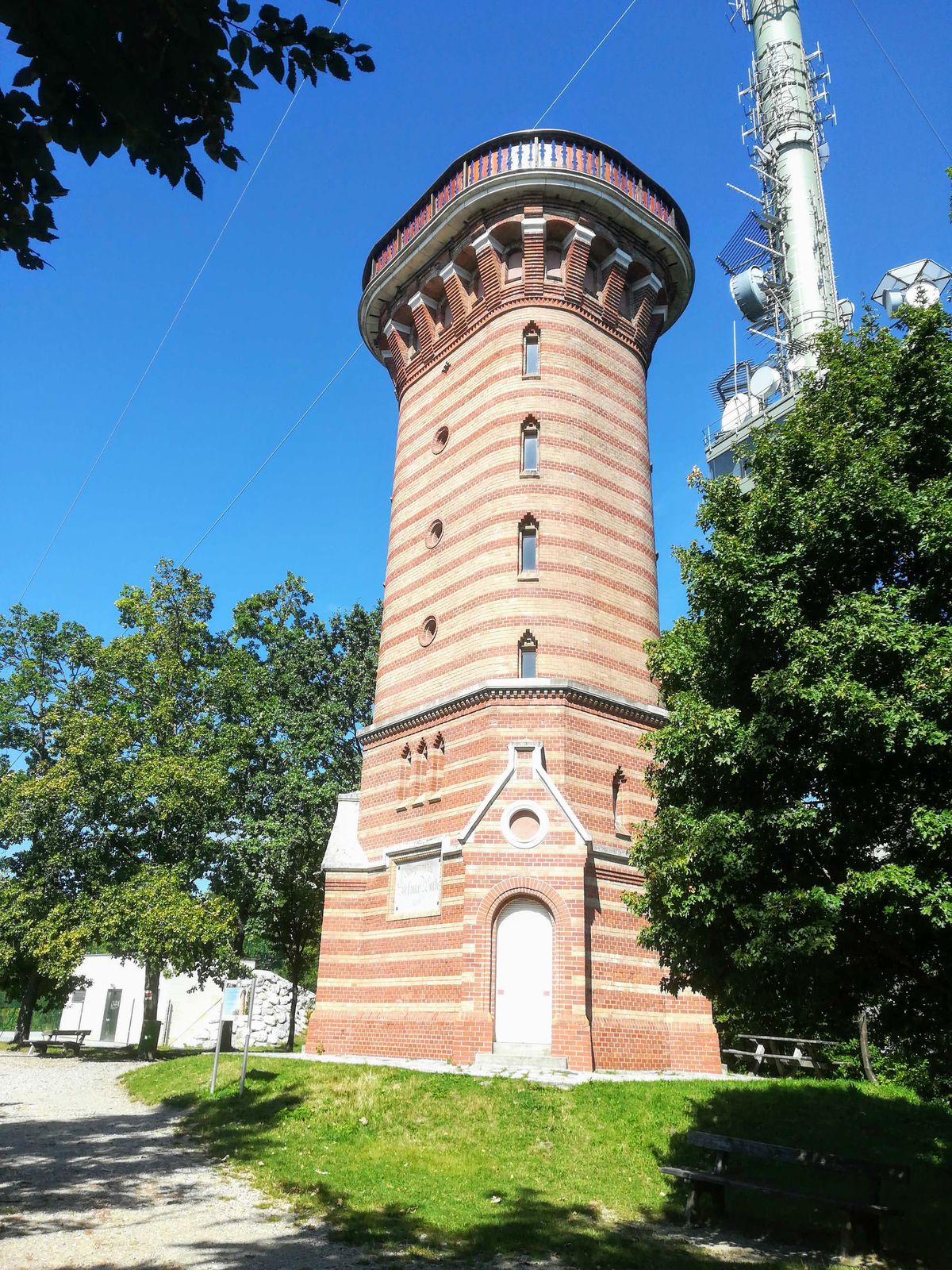
NussdorfVienna (542 m)0,5 kmSchmerbern1,5 kmMukental2,0 kmWildgrube2,4 kmKahlenberg (484 m)5,5 kmJosefsdorf5,7 kmSt. Josef5,8 kmJosefinenhütte6,4 kmNußberg (342 m)8,3 kmNussdorf10,9 km
- Punto più alto
- 519 m
- Destinazione
-
Straßenbahn D Endstation Nußdorf

GPS Downloads


Condizioni dei sentieri
Asfalto
Ghiaia
Prato
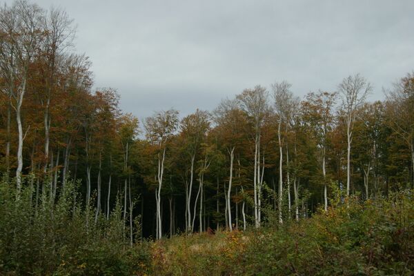
Foresta
Roccia
Esposta
Altri tour nelle regioni
-
Wienerwald
4208
-
Wien und Umgebung
2477
-
Klosterneuburg
1037