


natur.BANK.wege | Weyer | Rotmäuer | 333504


Foto dei nostri utenti


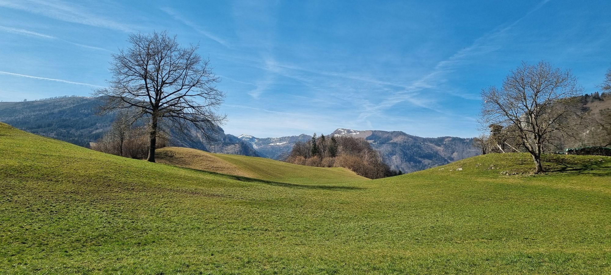
Panoramic hike to the flower meadow in colourful bloom in summer

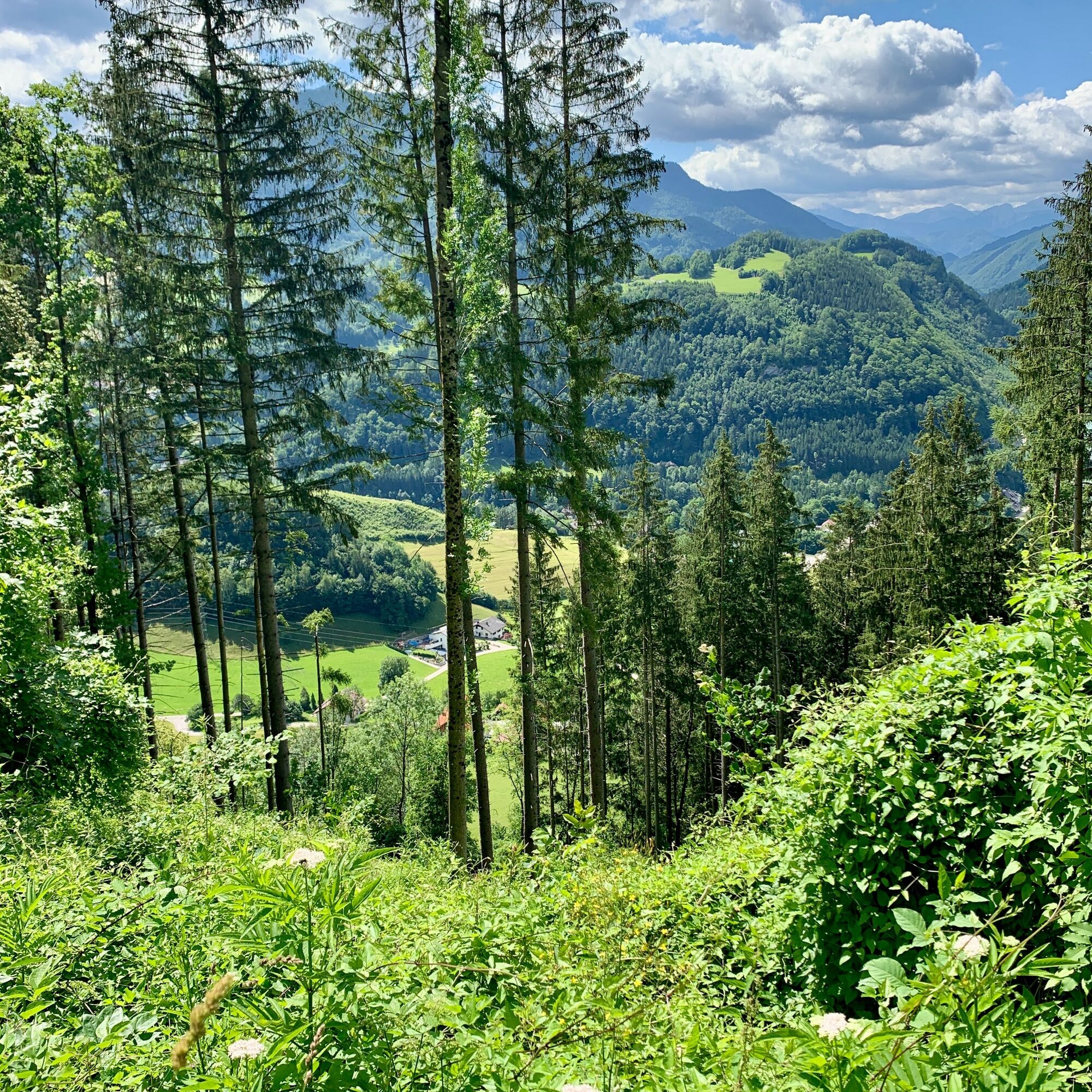
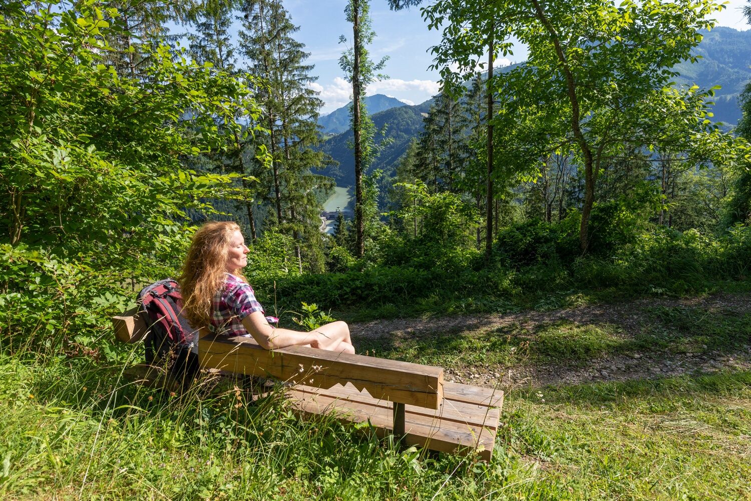
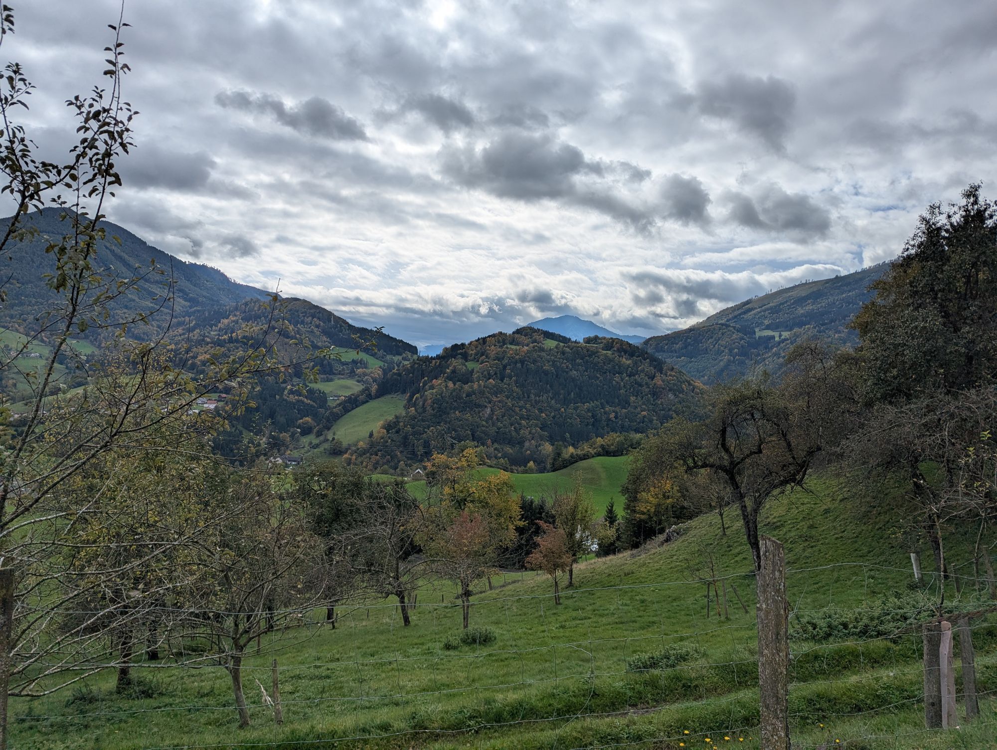
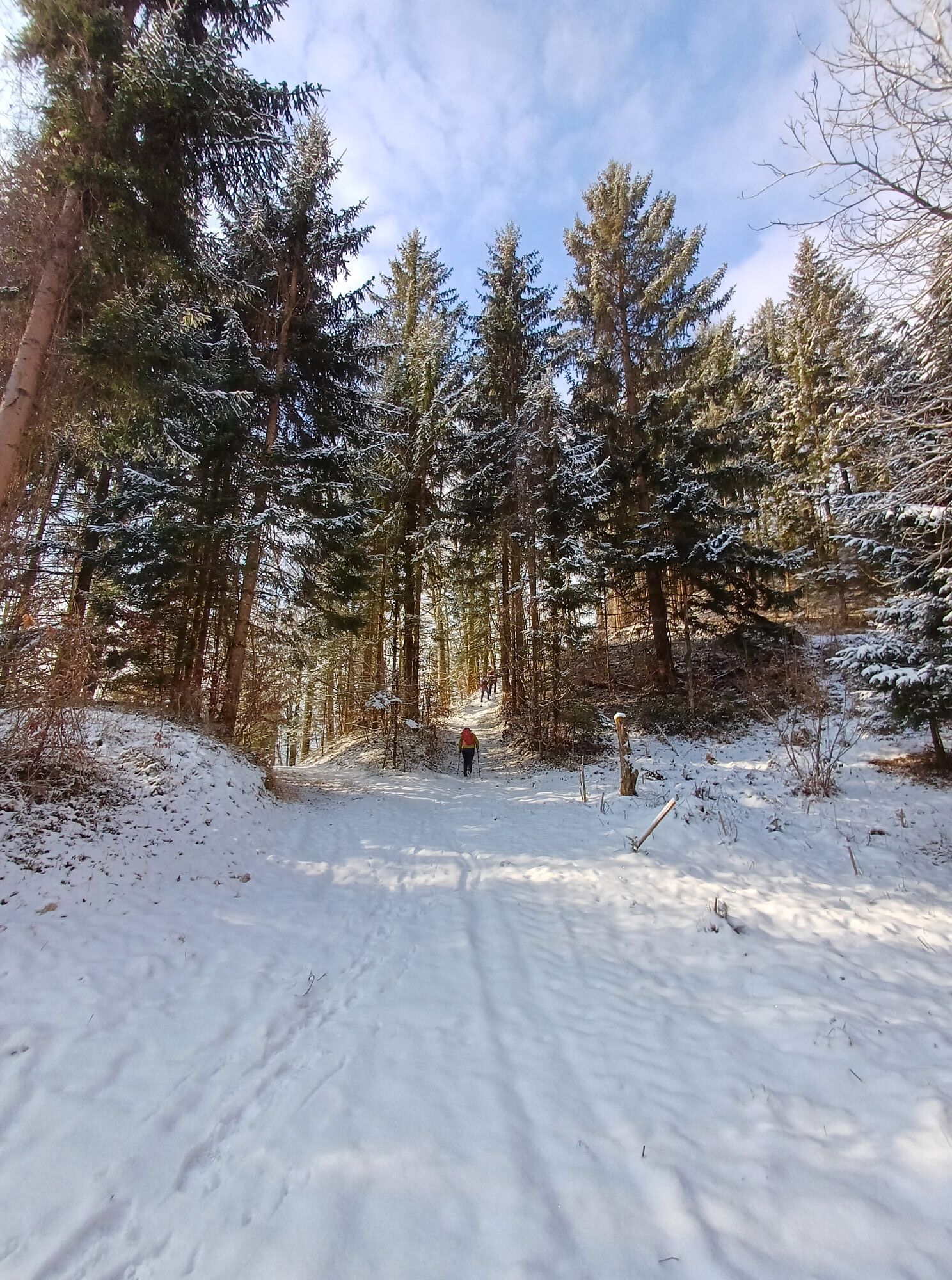
From the car park on the railway promenade, the hike leads along the Gaflenzbach stream for 1.5 km downstream. From the right, the Gasselgraben joins the marked hiking trail to the Rotmäuern. The marked hiking trail leads upwards in the narrow Gasselgraben for half a kilometre until the marking leads off to the left onto the open meadows (Kochlöffel-Au-Seberlbauer). You can also drive up to here by car. Now a beautiful hiking trail branches off to the left and, with a good view, leads diagonally left uphill to the bench.
Sì
By train: the Ennstalbahn runs between Linz and Kleinreifling, change in Kastenreith to Weyer or from Amstetten towards Kleinreifling.
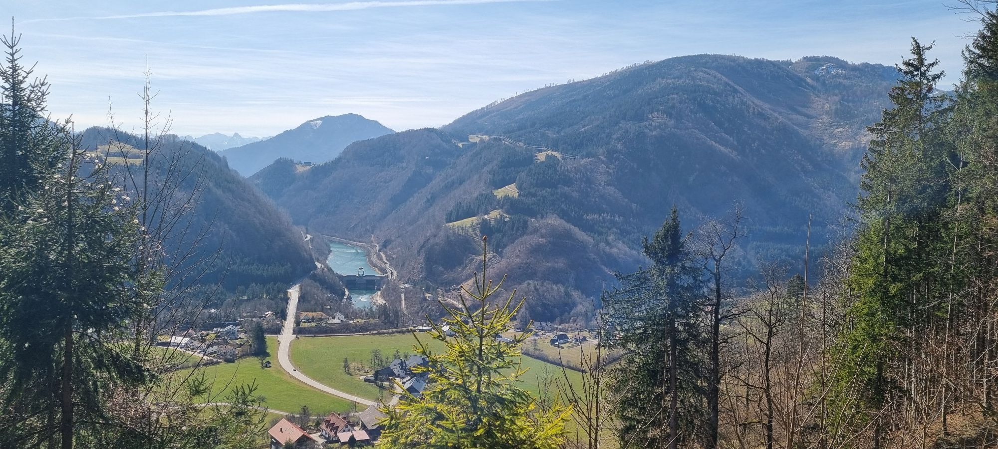
By car from Linz: A1 motorway exit Enns-Steyr > B115 into the Enns Valley
By car from Vienna: A1 motorway exit Amstetten West > Waidhofen / Ybbs > Weyer
Station car park, car park opposite the sports hall
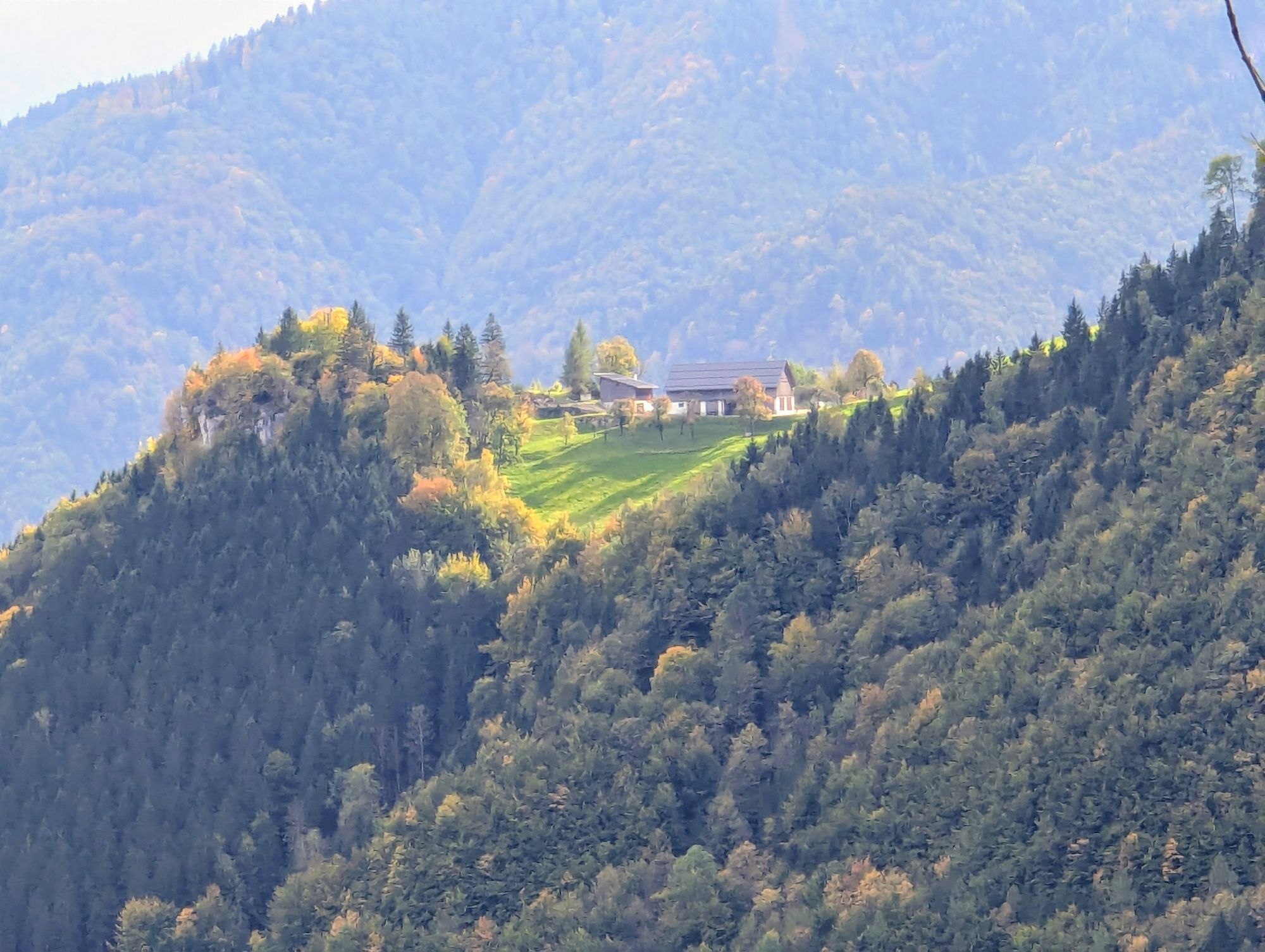
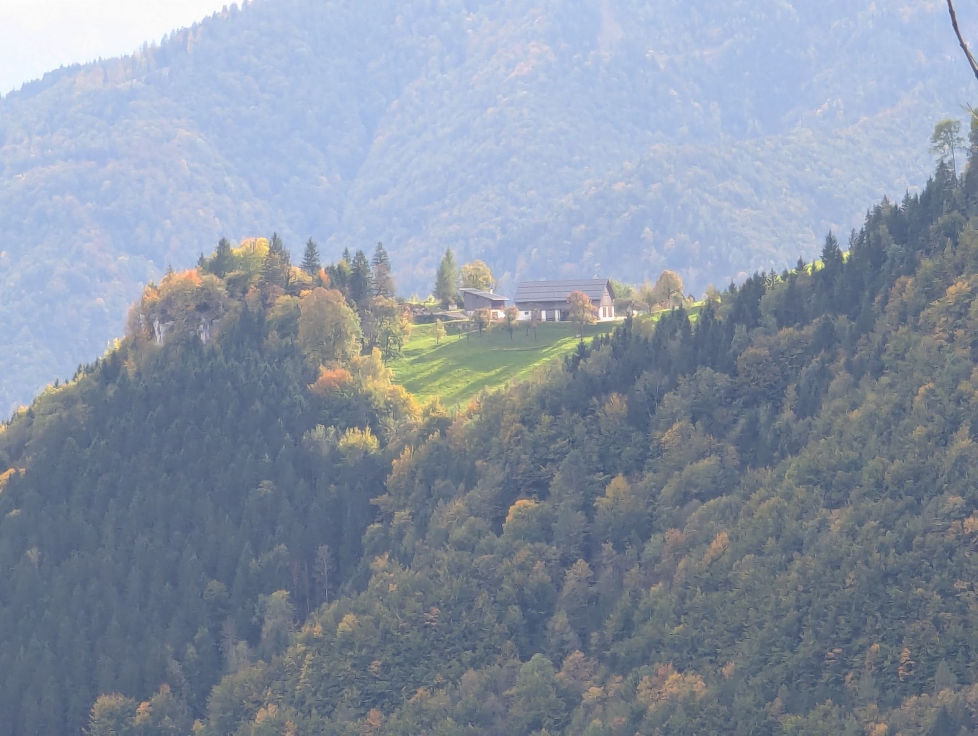
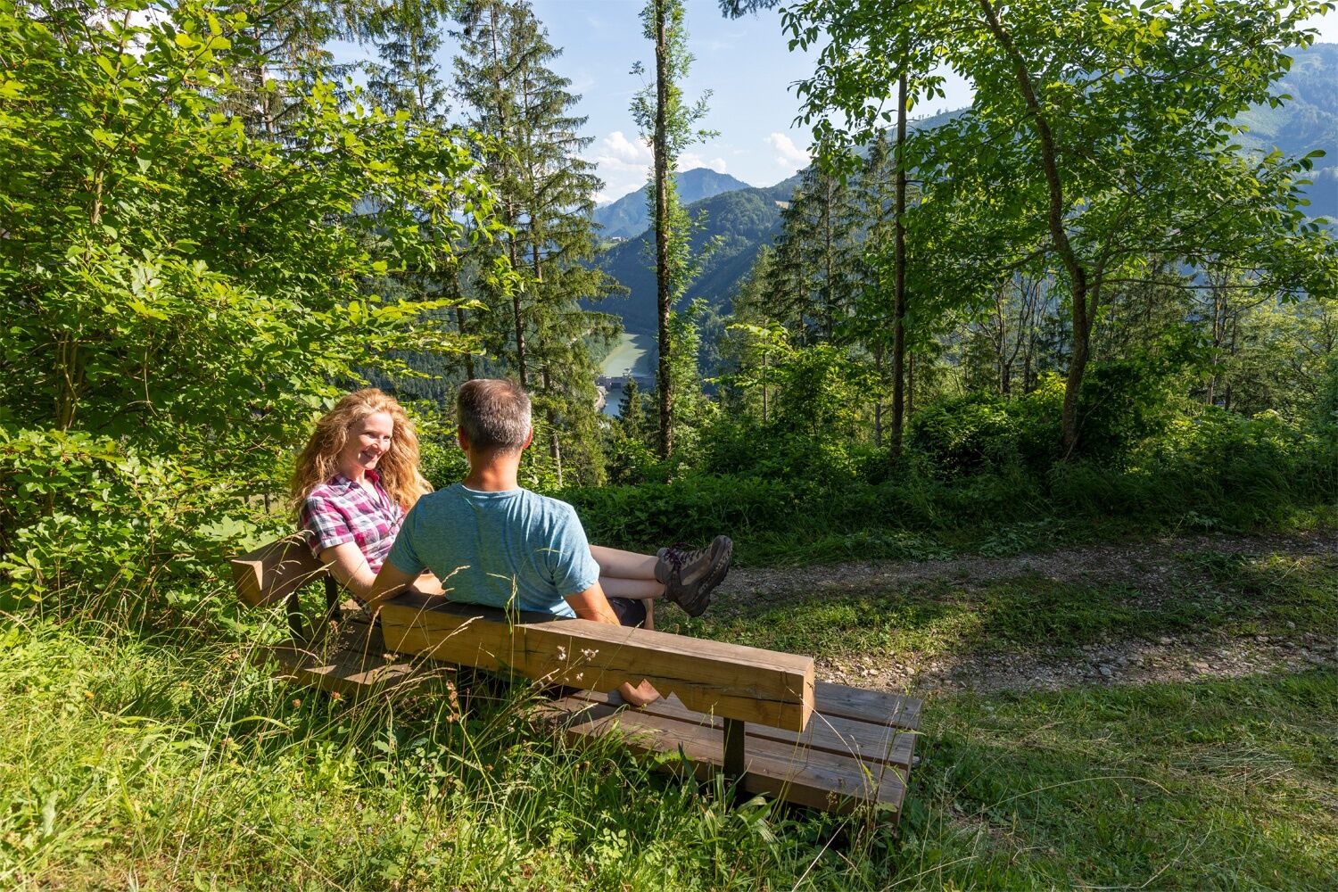
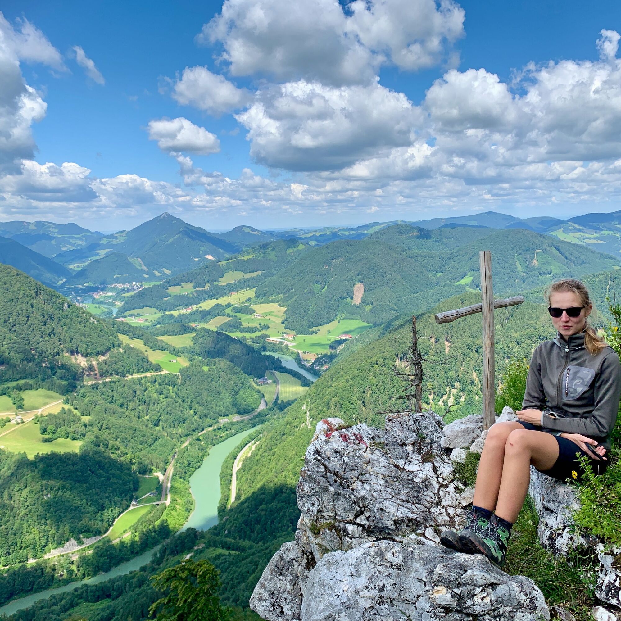
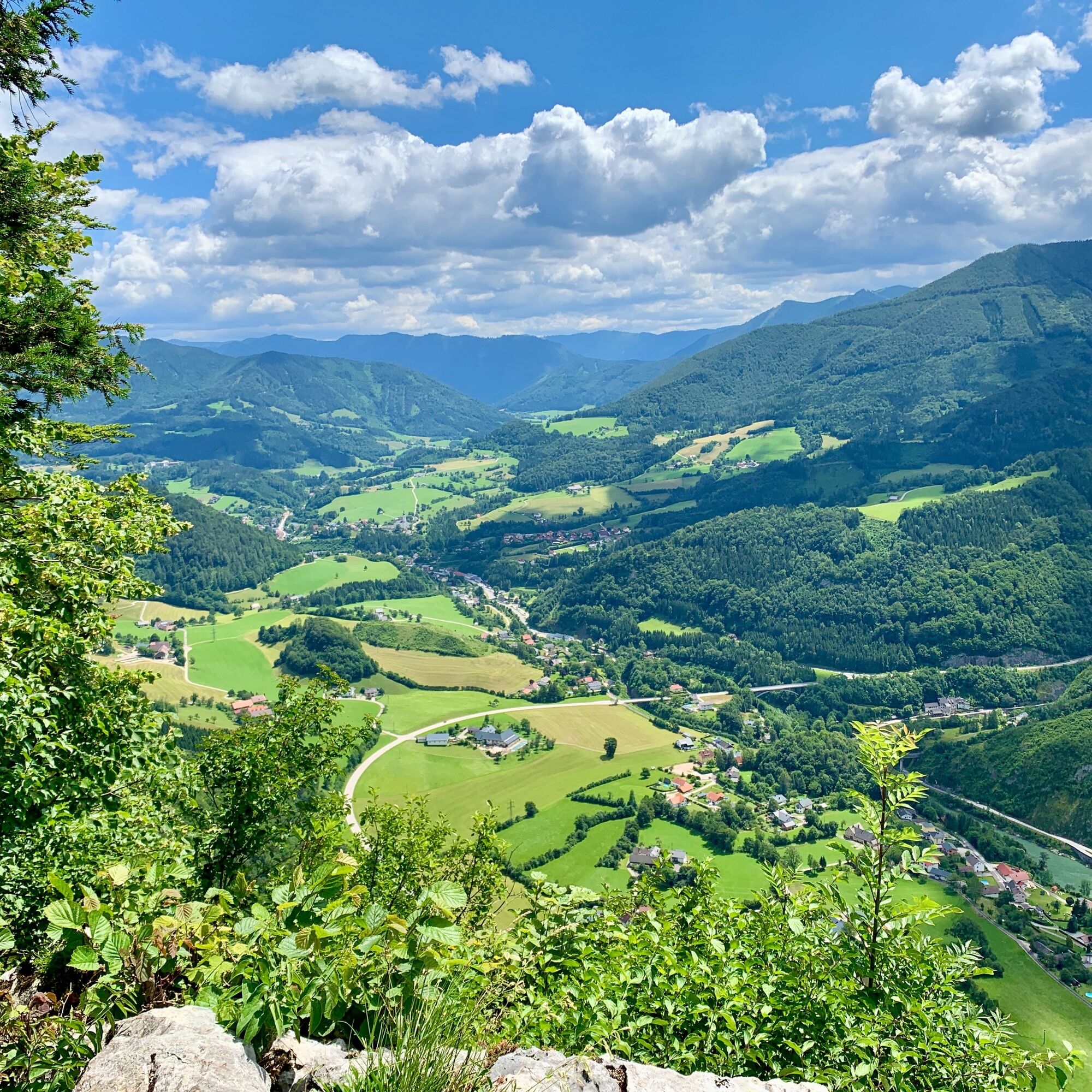
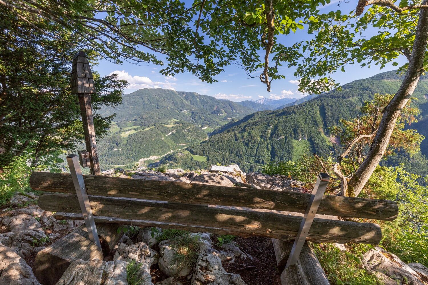
Be sure to continue the hike to the Rotmäuer. There you have an incredibly beautiful view down into the Anger and east towards Weyer.If you are in good shape, you can also climb to the summit of the Falkenstein, which offers a magnificent view in the direction of the Ennsberg, Almkogel and neighbouring Großraming.
I tour più popolari nelle vicinanze
- 4,7
Steinerner Jäger (1185m) und Schieferstein (1206m) ab Parkplatz Hochhabichler
medioEscursionismo4,46 km - 4,8
Rifugio Ennser - Almkogel (dal parcheggio Bamacher)
medioEscursionismo3,53 km - 4,3
Hollenstein Stupfmauer Voralpe Tanzboden retour 20.08.2016
medioEscursionismo15,6 km - 4,7
GROSSRAMING Bamacher, Burgspitz, Almkogel, Ennshütte 20240730
medioEscursionismo10 km - 4,0
Schieferstein und Steinerner Jäger von Reichraming, Oberösterreich
medioEscursionismo3,82 km - 4,6
Percorso nella gola di Opponitz
medioEscursionismo4,42 km - 4,0
Ennser Hütte, Stallburgalm, Burgspitz, Almkogel
medioEscursionismo11,6 km - 3,8
Lindaumauer (1103 m)
Escursionismo3,40 km - 3,0
Capanna Ennser Hütte - Almkogel (dalla stazione di Großraming)
medioEscursionismo9,33 km - 4,6
Burgspitz, Almkogel, Wieser, Langlackenmauer und zurück
medioEscursionismo13,5 km
Escursioni e tracking


Non perdete le offerte e le ispirazioni per le vostre prossime vacanze
Il vostro indirizzo e-mail è stato aggiunto alla mailing list.