© Christa Hochpöchler

© Outdooractive – 3D Videos
© Ewald Wachter
© Ewald Wachter
© Ewald Wachter
© Christa Hochpöchler
© Gemeinde Opponitz
- Descrizione rapida
-
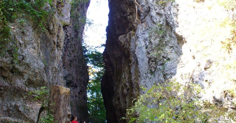
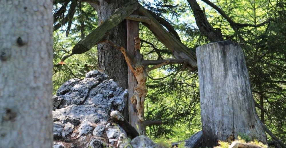
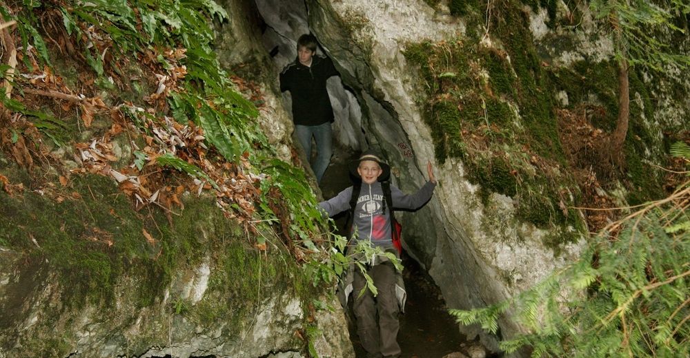
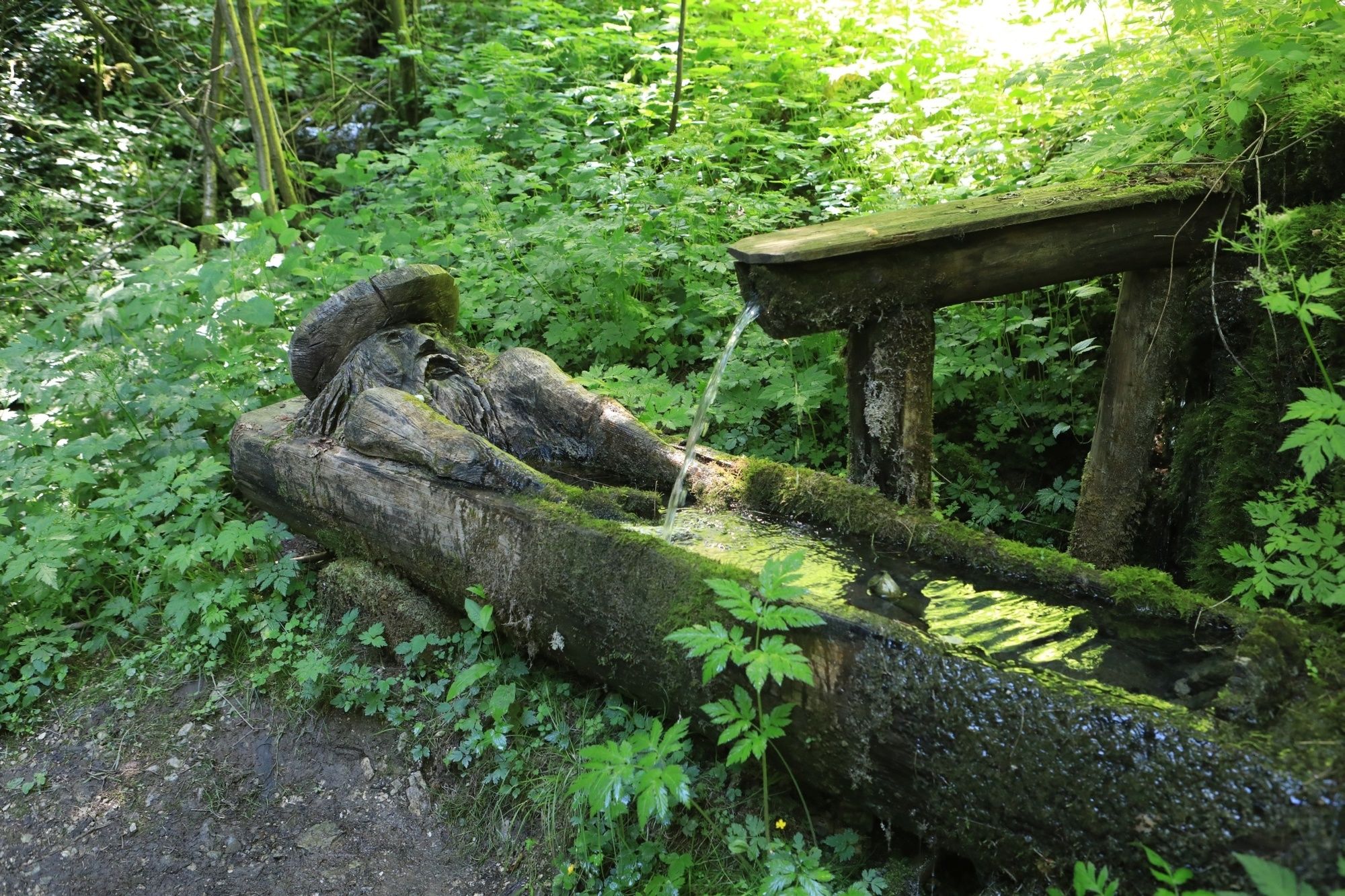
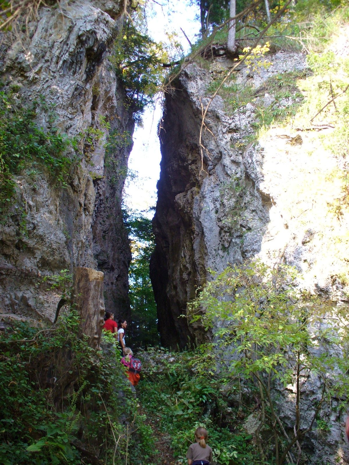
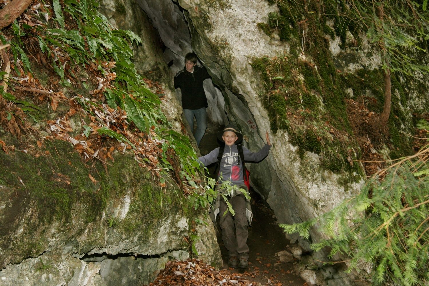
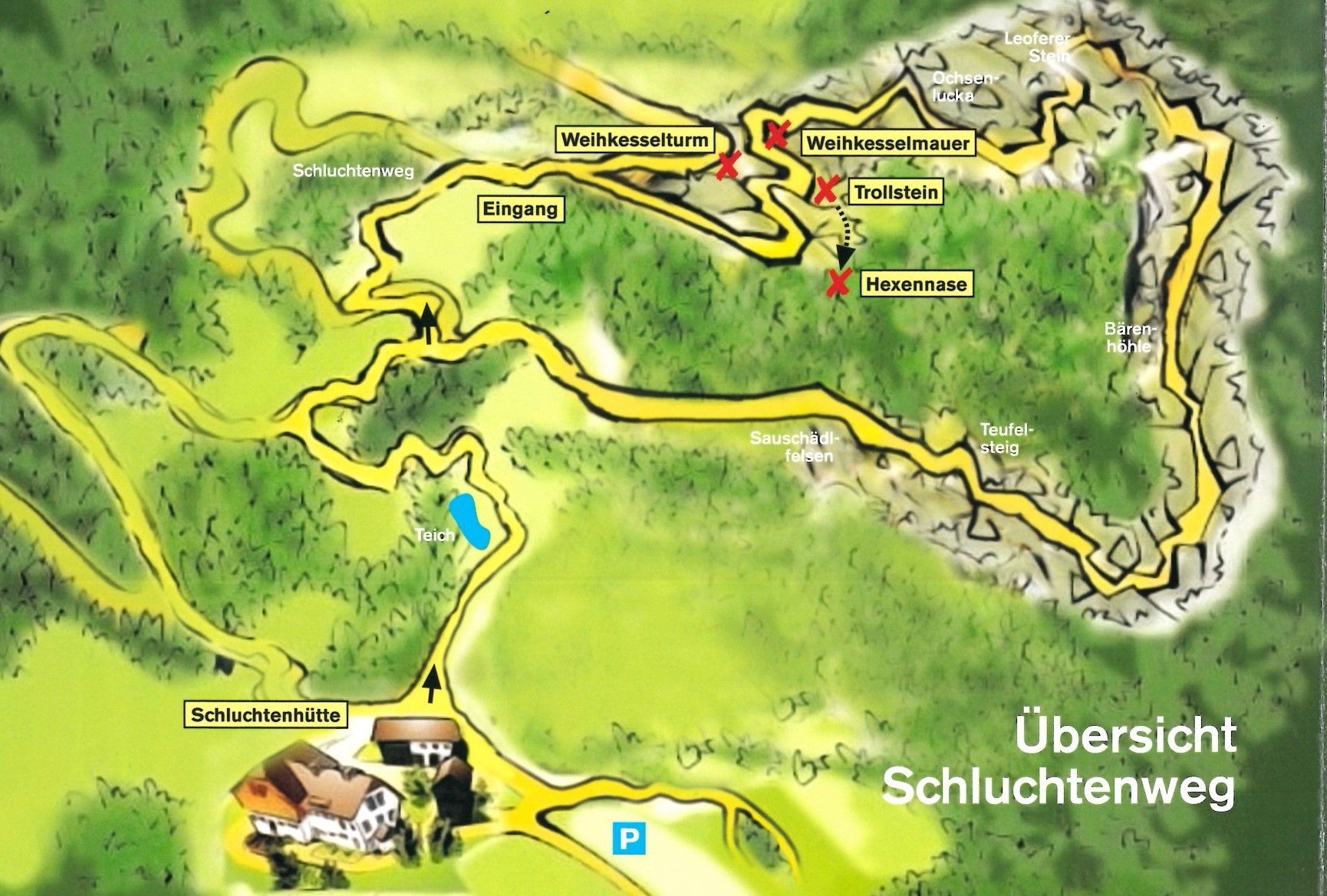
Mystischer erlebnisreicher Rundwanderweg für die ganze Familie inklusive urig-gemütlicher Einkehrmöglichkeit.
- Difficoltà
-
facile
- Valutazione
-
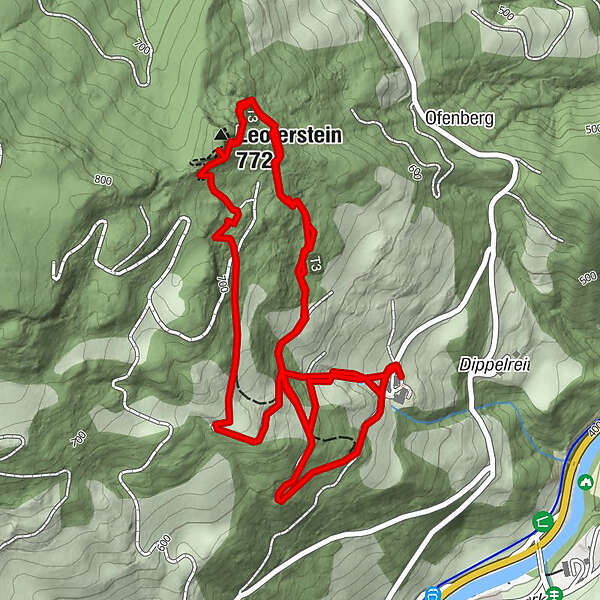
- Percorso
-
Leoferstein (772 m)4,4 km
- La stagione migliore
-
genfebmaraprmaggiulugagosetottnovdic
- Punto più alto
- 743 m
- Destinazione
-
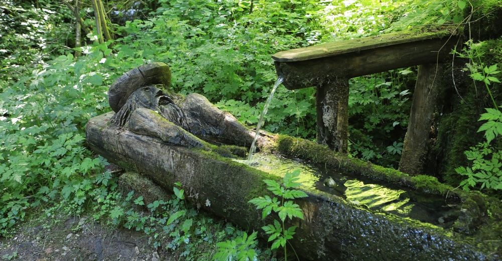
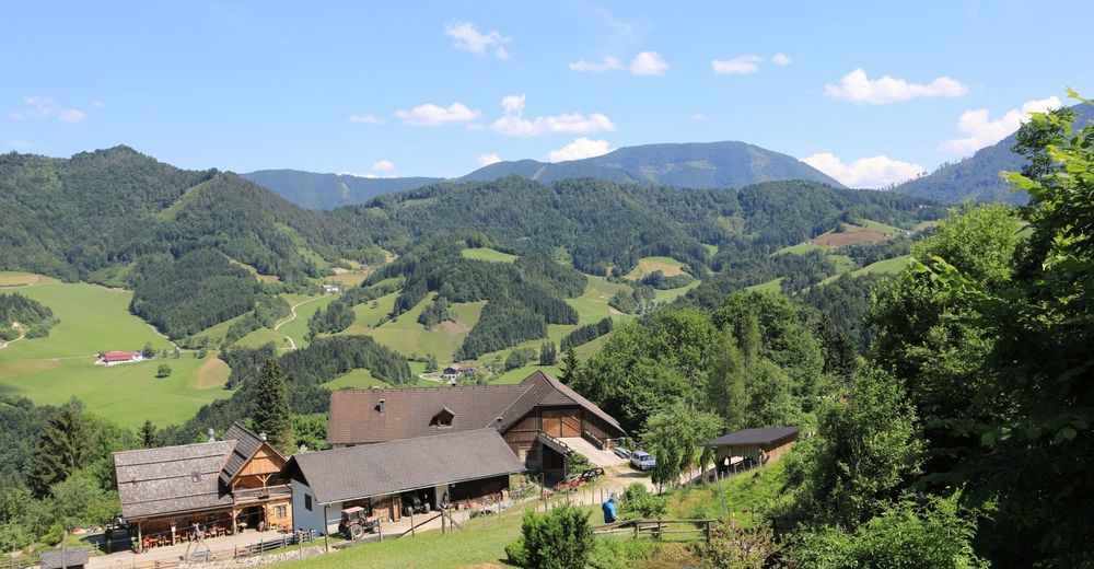
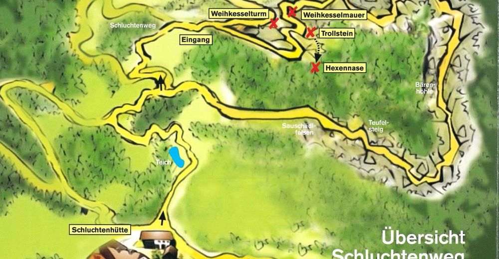
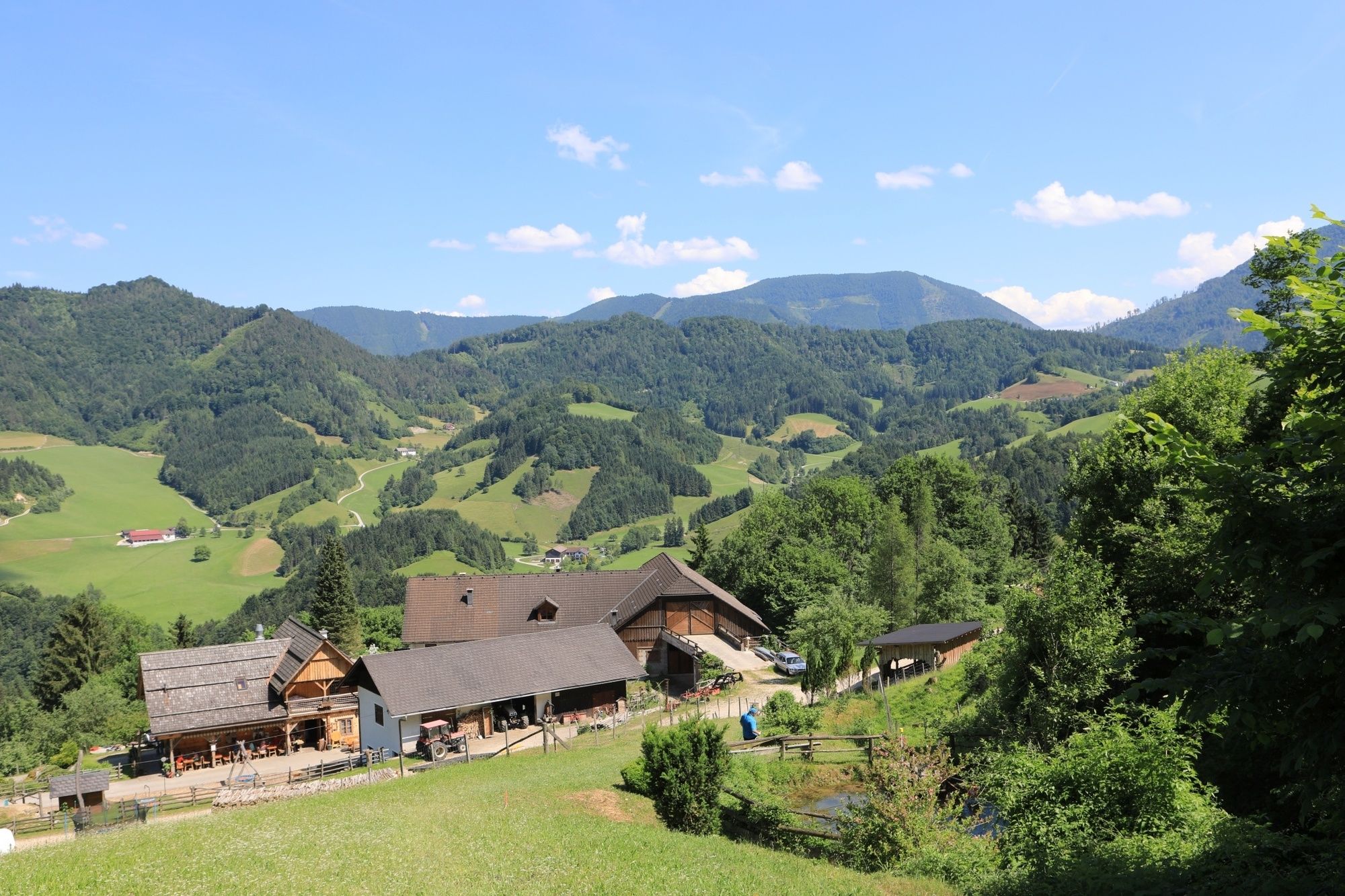
Schluchtenhütte beim Bauernhaus "Oberdippelreith"
- Profilo altimetrico
-


- Autore
-
Il tour Opponitzer Schluchtenwanderweg è utilizzato da outdooractive.com fornito.
GPS Downloads


Info generali
Punto di ristoro
Suggerimento
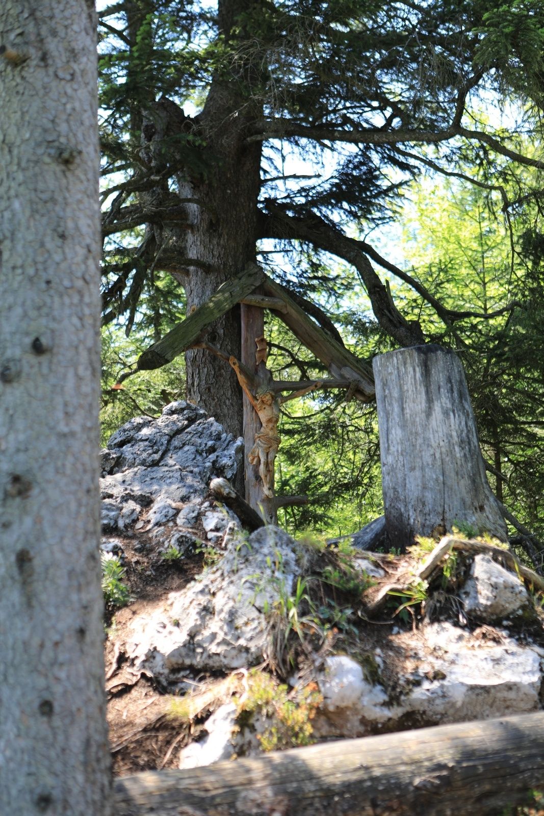
Flora
Promettente
Altri tour nelle regioni
-
Mostviertel
2453
-
Melker Alpenvorland
797
-
Opponitz
236