


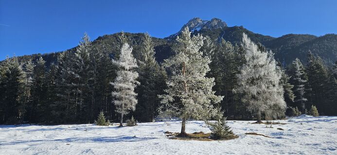
winter hiking trail St. Ulrich a.P. Seerunde - Adolari


Foto dei nostri utenti
-

 © ChristianCreato il 22.09.2025
 -
 © harteCreato il 15.08.2025
 -
 © Franco Nicastro 1Creato il 03.08.2025
 -

 © Viktor KollerCreato il 29.06.2025
 -

 © WernerCreato il 22.06.2025
 -
 © Franco Nicastro 1Creato il 23.03.2025
 -

 © Arnold BurböckCreato il 04.02.2025
 -
 © Arnold BurböckCreato il 04.02.2025
 -
 © Arnold BurböckCreato il 04.02.2025
 -
 © Arnold BurböckCreato il 04.02.2025
 -
 © Arnold BurböckCreato il 04.02.2025
 -
 © Mike PritchardCreato il 27.10.2024
 -
 © Philipp RößlerCreato il 24.09.2024
 -
 © Philipp RößlerCreato il 24.09.2024
 -
 © Philipp RößlerCreato il 24.09.2024
 -
 © Philipp RößlerCreato il 24.09.2024
 -
 © Philipp RößlerCreato il 24.09.2024
 -
 © Philipp RößlerCreato il 24.09.2024
 -

 © KessyCreato il 21.08.2023


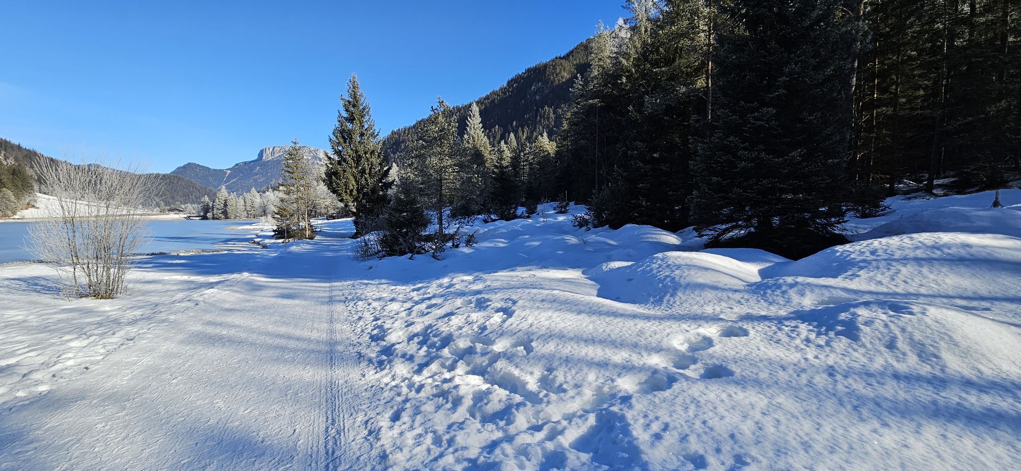

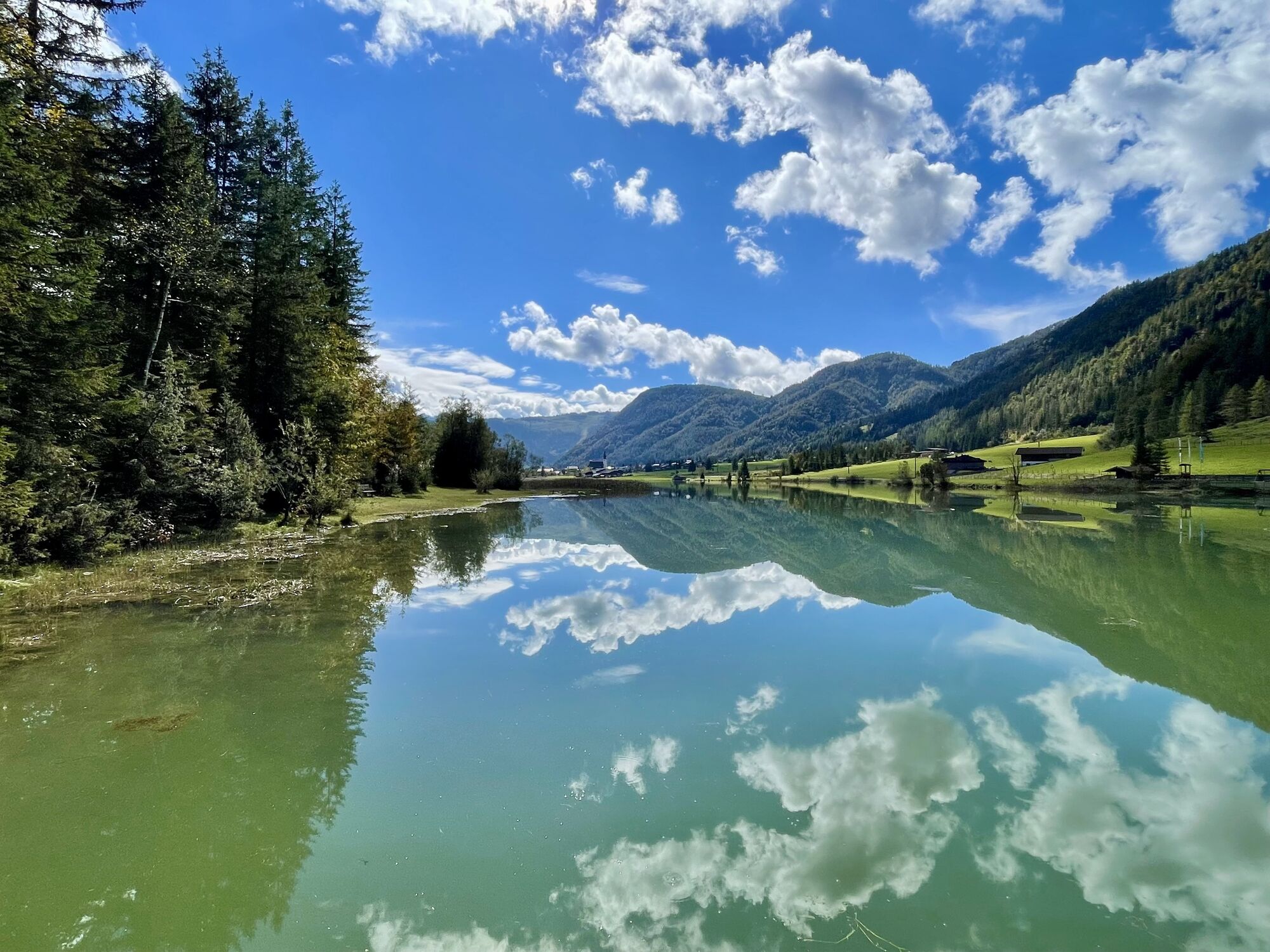


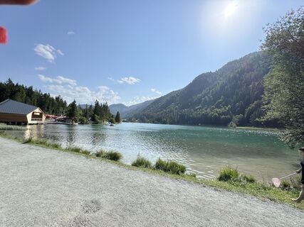
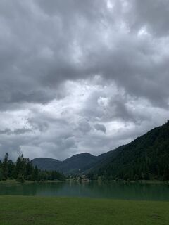
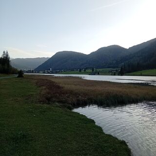
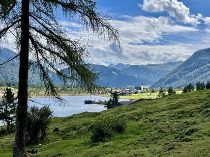
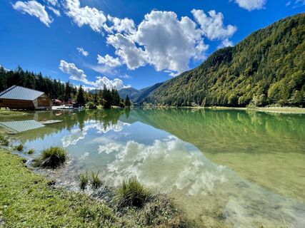
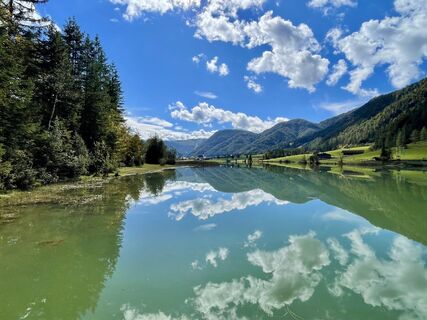
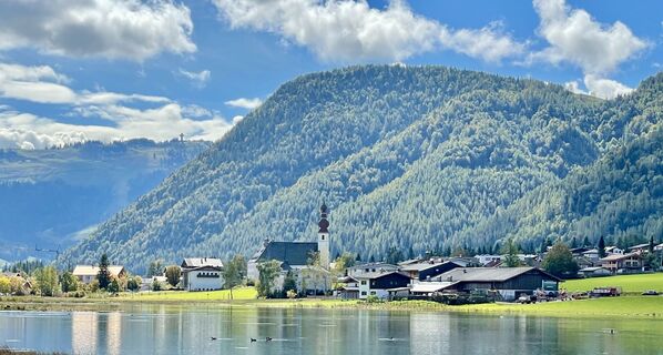
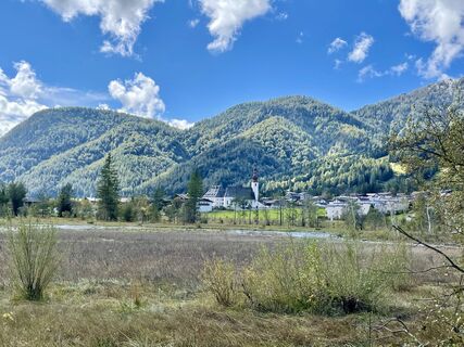
Start at the center behind the tourist office / public indoor swimming pool (same start as the cross-country skiing starting point). Walk in towards the small river Grieselbach. There you turn left and...
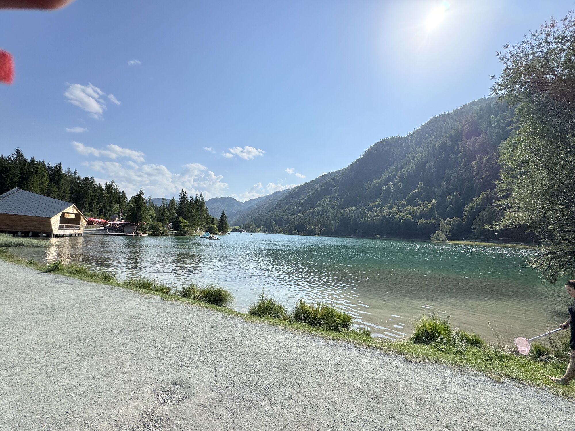
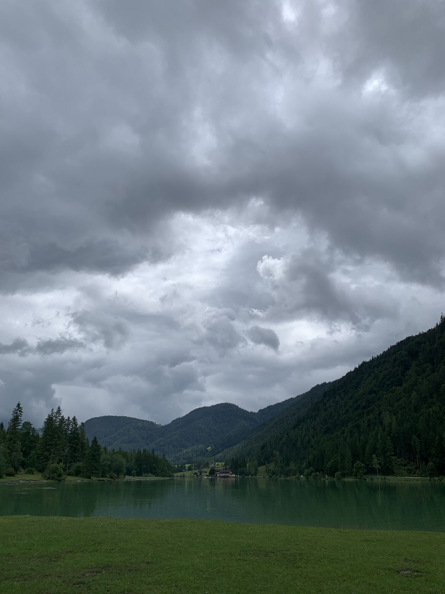
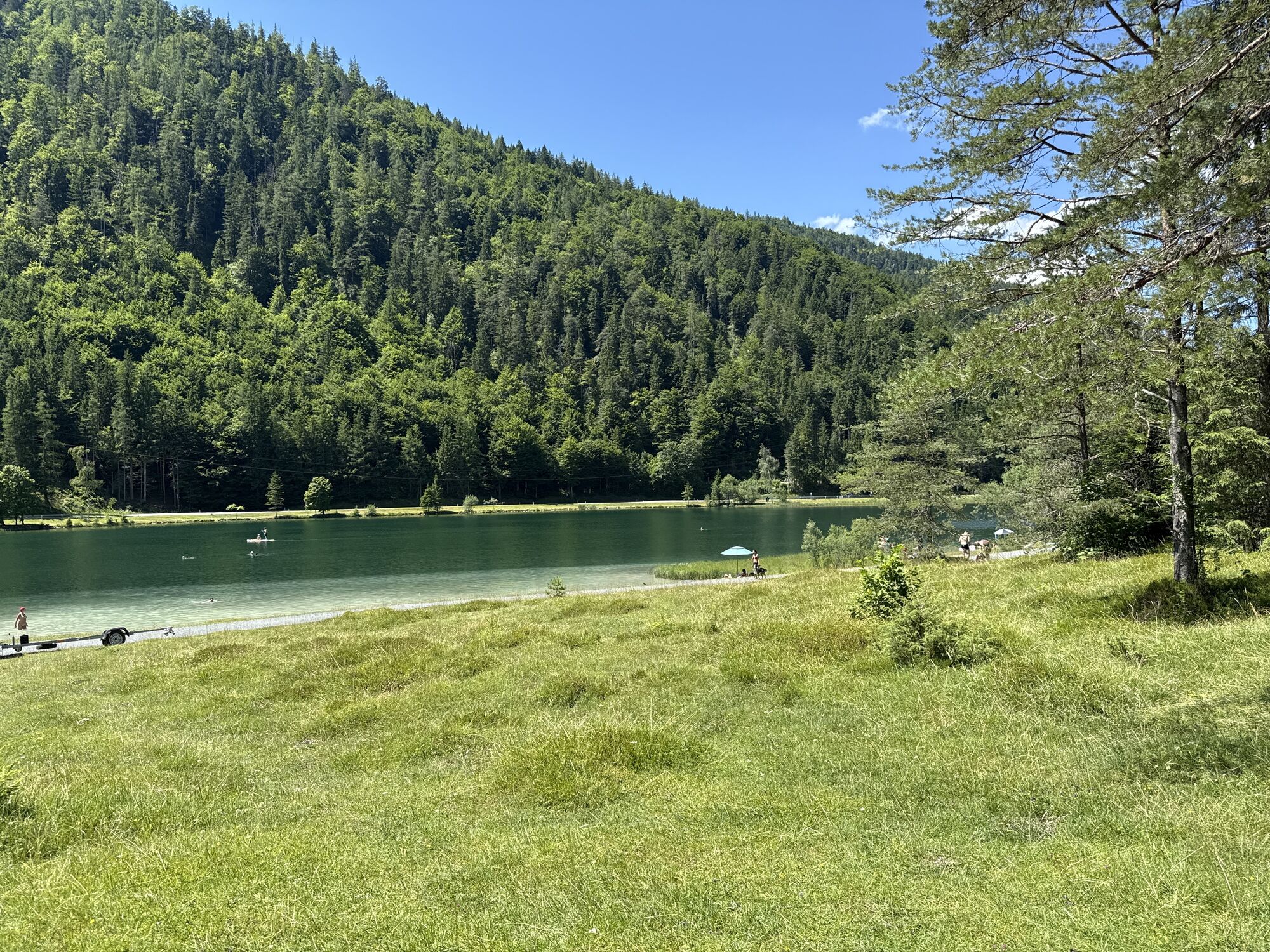
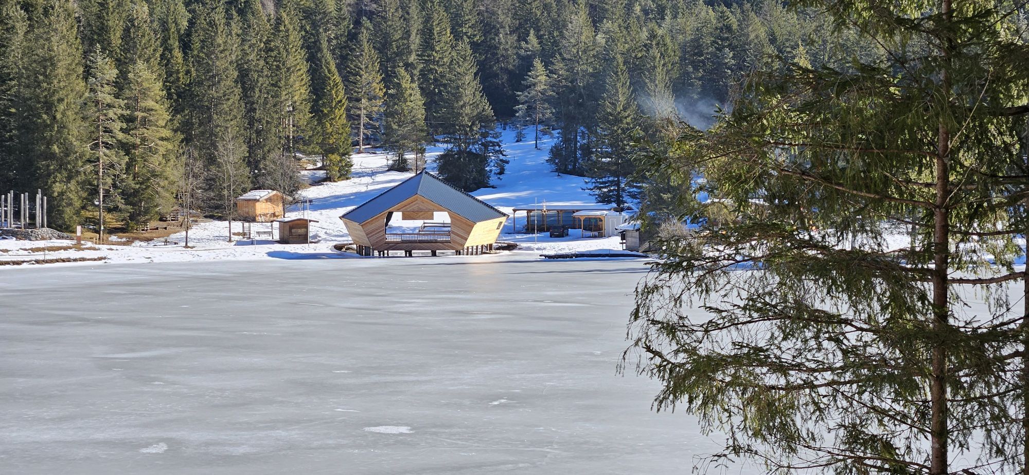
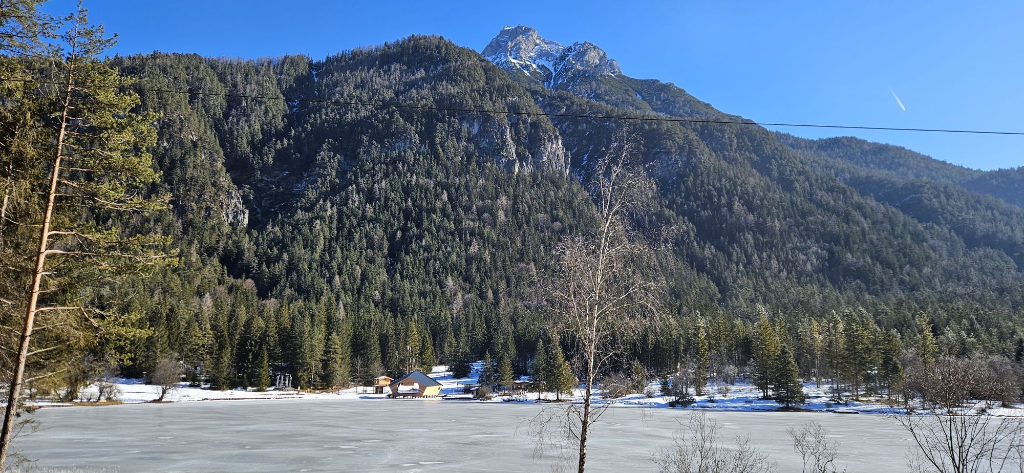
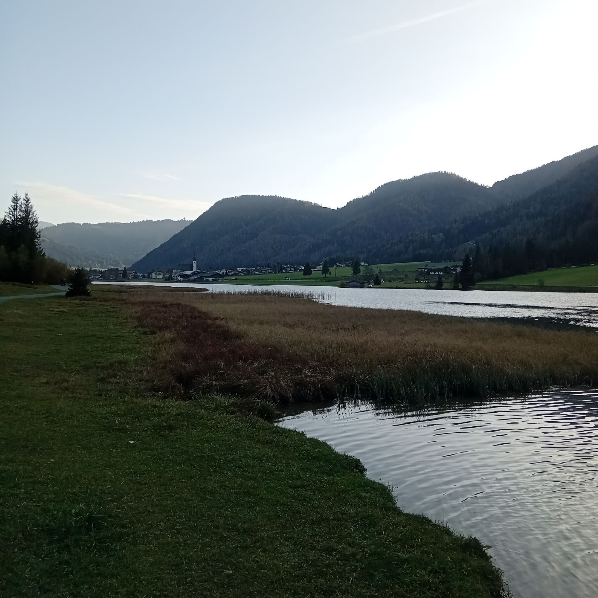
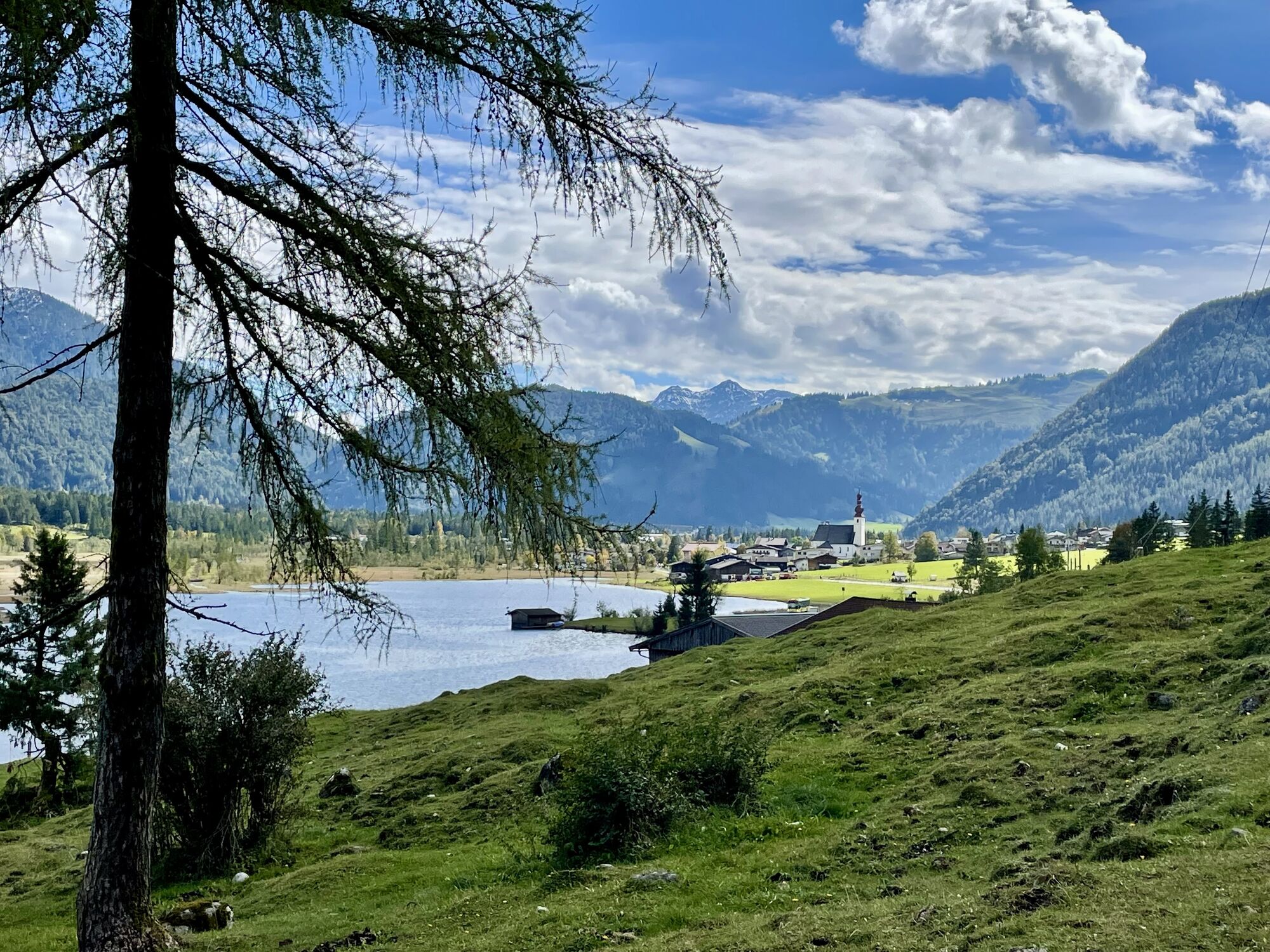
Start at the center behind the tourist office / public indoor swimming pool (same start as the cross-country skiing starting point). Walk in towards the small river Grieselbach. There you turn left and follow the river to the lake Pillersee. Go over the bridges, turn left and walk along the lake. At the end turn left, take the small bridge and retourn via the main road towards the centre. (Walking time 1h 15min)
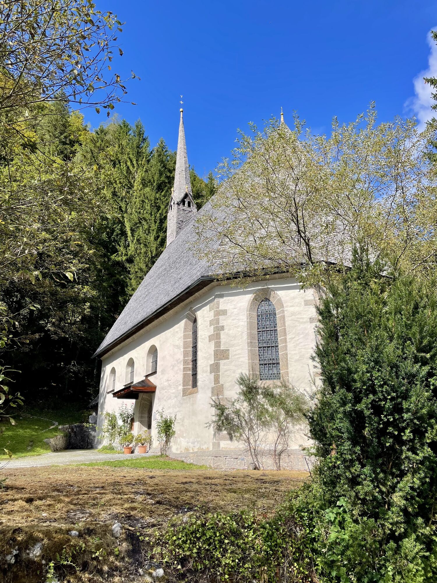
Alternative: At the end of the lake walk straight ahead and follow the winter hiking path until you reach a small public parking. Cross the mainroad and visit the pilgrimage church and the restaurant St. Adolari. (Walking time to St. Adolari 1h).


There is a bus stop in St. Adolari, you can take a free regiobus back to the village.
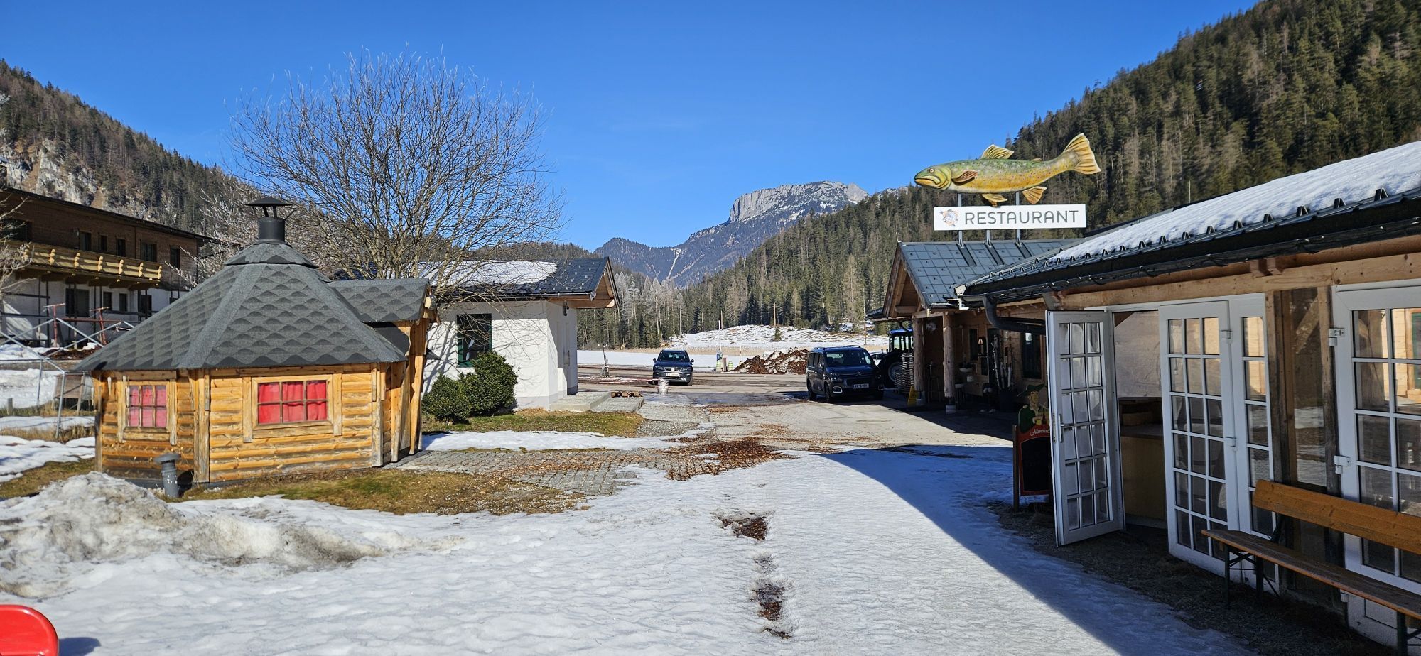
Gasthof St. Adolari, Forellenranch
Hiking map are available in all tourist office of the PillerseeTal.
free skibus to the bus stop Gemeindeamt
Chargeable car park in the centre of St. Ulrich am Pillersee
I tour più popolari nelle vicinanze
-
4,7
Grießbachklamm - Almenrunde
luceEscursionismo 12,4 km -
4,7
Attraverso il sentiero delle cascate nell'Almenwelt Lofer
medioEscursionismo 3,29 km -
4,7
Durch die Teufelsgasse zur Prostalm
medioEscursionismo 6,43 km -
4,2
Spielbergalmen
medioEscursionismo 10 km -
4,6
Kitz Bhf- Kitzbühler Horn und zurück zum Alpenhaus
medioEscursionismo 11,8 km -
4,5
Seisenbergklamm
luceEscursionismo 2,41 km -
4,8
Atemberaubende Aussicht auf dem Dürrnbachhorn
medioEscursionismo 8,44 km -
4,9
Loferer Steinberge, zum Hinterhorn über die Schmid-Zabierow Hütte, 19.06.22
pesanteEscursionismo 14,0 km -
4,8
St. Johann in Tirol: Wasserfall & 3 Seen am Kitzbüheler Horn
medioEscursionismo 12,7 km -
4,4
Vorderkaserklamm
luceEscursionismo 1,24 km
Escursioni e tracking


Non perdete le offerte e le ispirazioni per le vostre prossime vacanze
Il vostro indirizzo e-mail è stato aggiunto alla mailing list.