


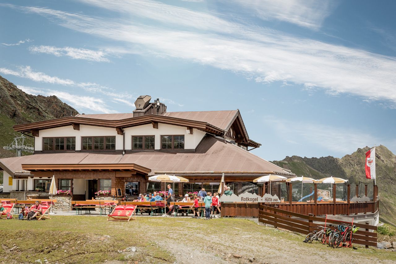
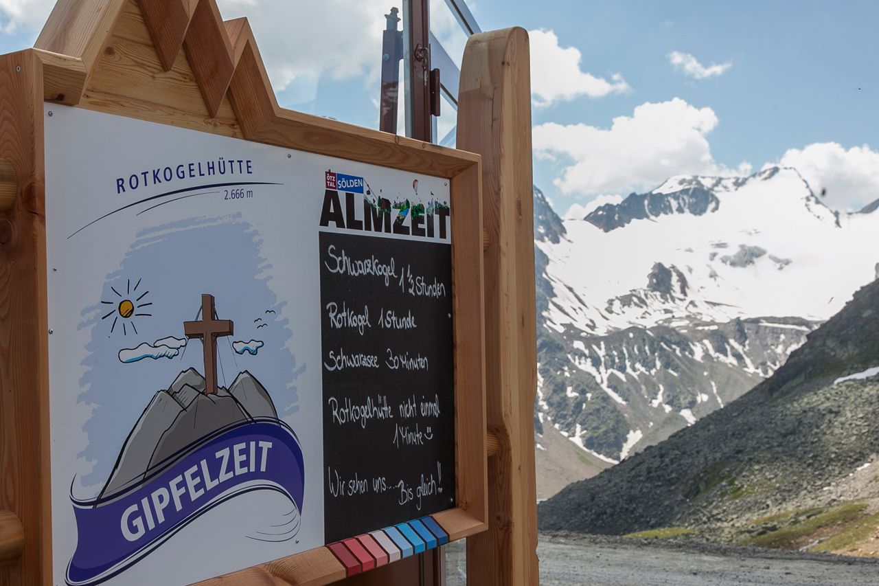
Rotkoglhütte


Foto dei nostri utenti
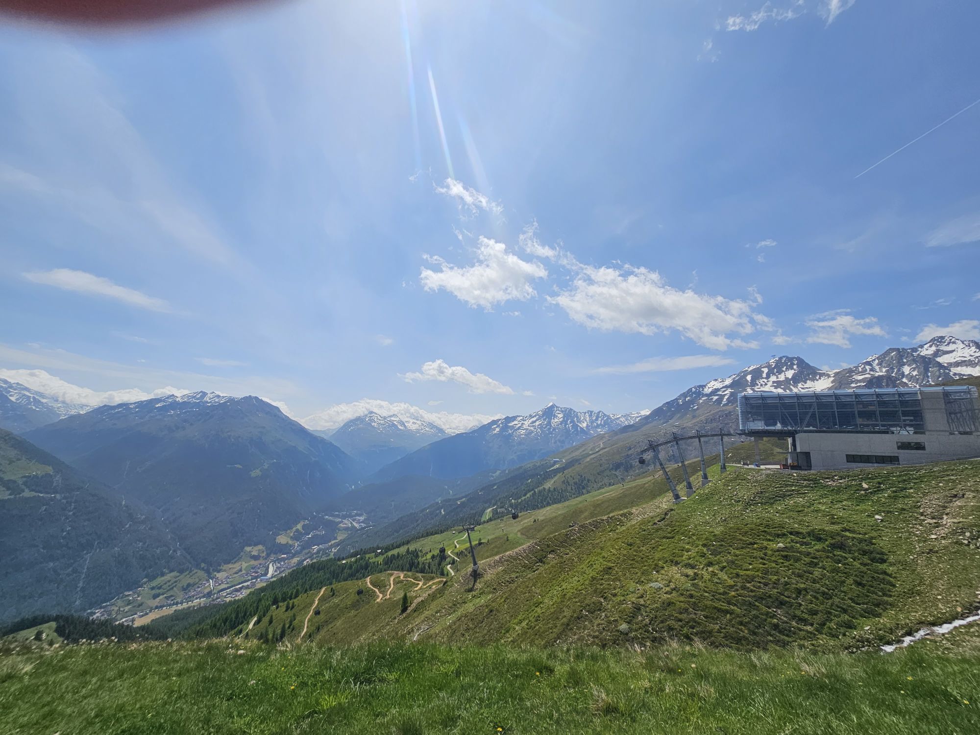
Take the Giggijochbahn directly from Sölden or the new gondola from Hochsölden, approx. 1 hour ascent time to the hut.
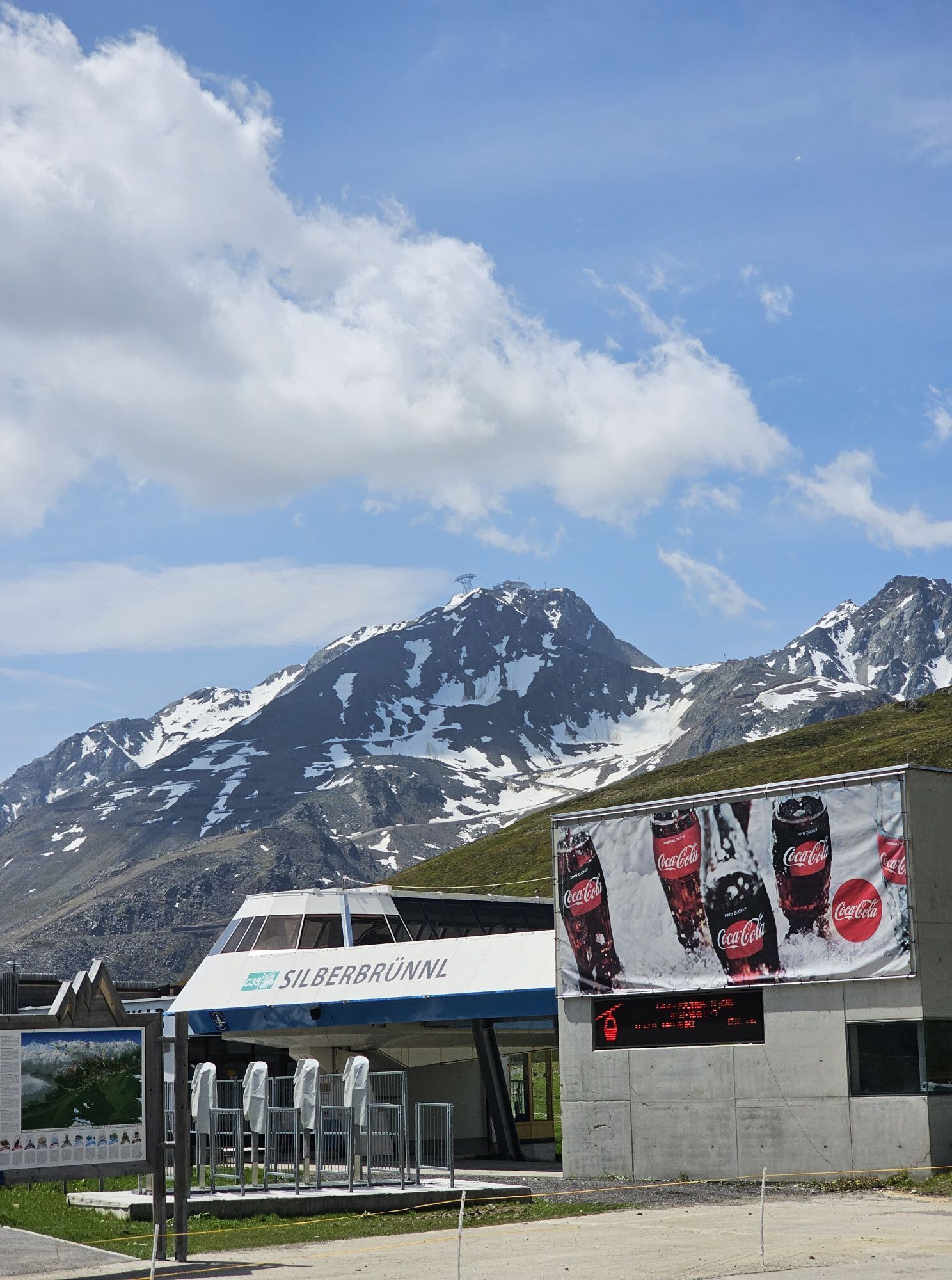
You can also take the glacier bus to the Rettenbachalm or to the Rettenbach glacier...
Take the Giggijochbahn directly from Sölden or the new gondola from Hochsölden, approx. 1 hour ascent time to the hut.
You can also take the glacier bus to the Rettenbachalm or to the Rettenbach glacier and hike from there to the Rotkoglhütte.
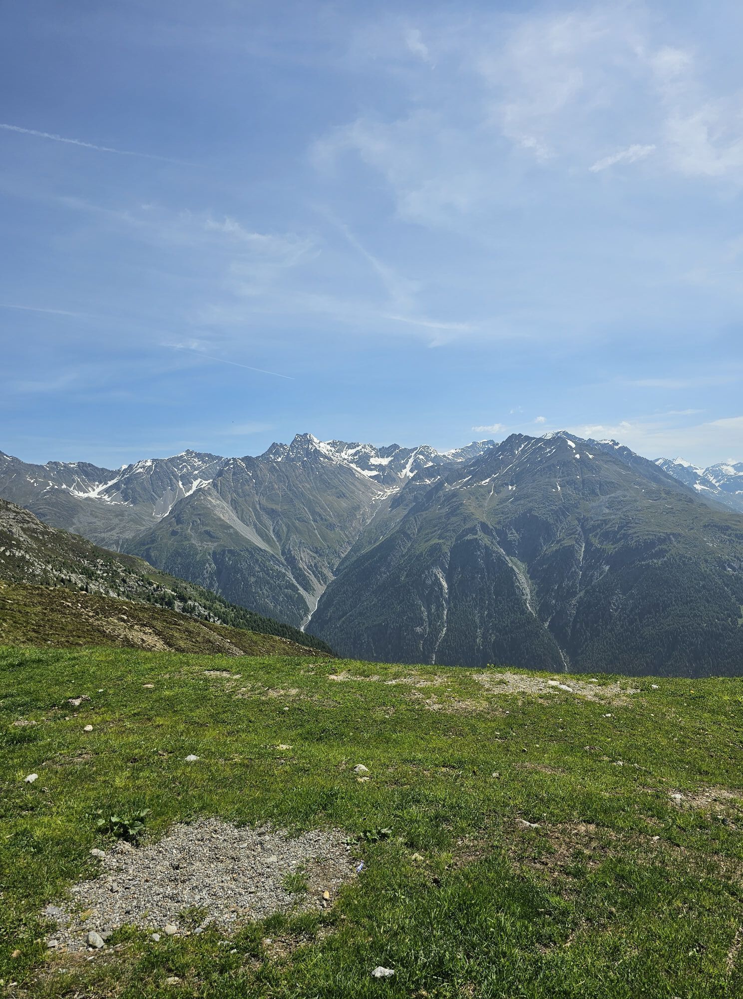
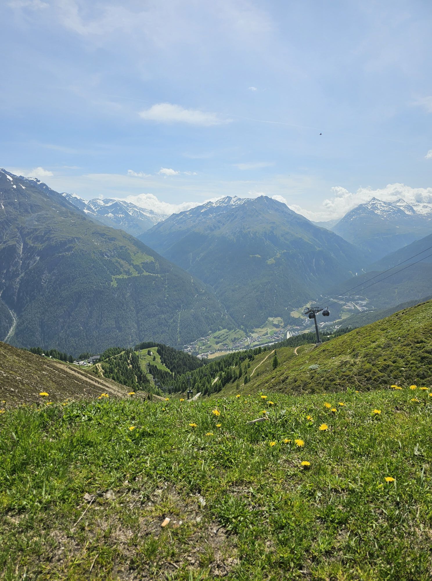
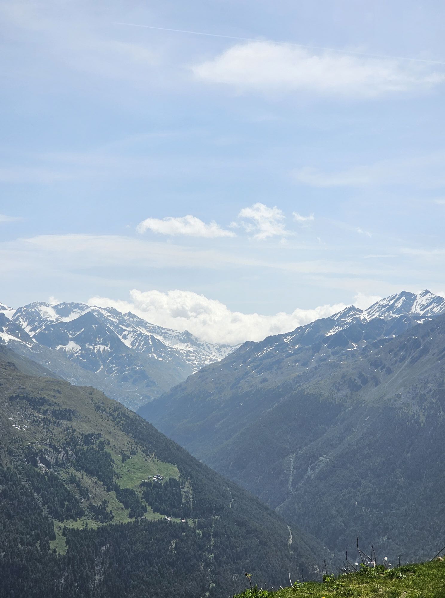
Enjoy the view on the surrounding peaks, especially on Tyrol's highest mountain, the Wildspitze (3,774 m), or dare to take a tour on top of the Rotkogel (2,948 m) or the Schwarzkogel (3,016 m).
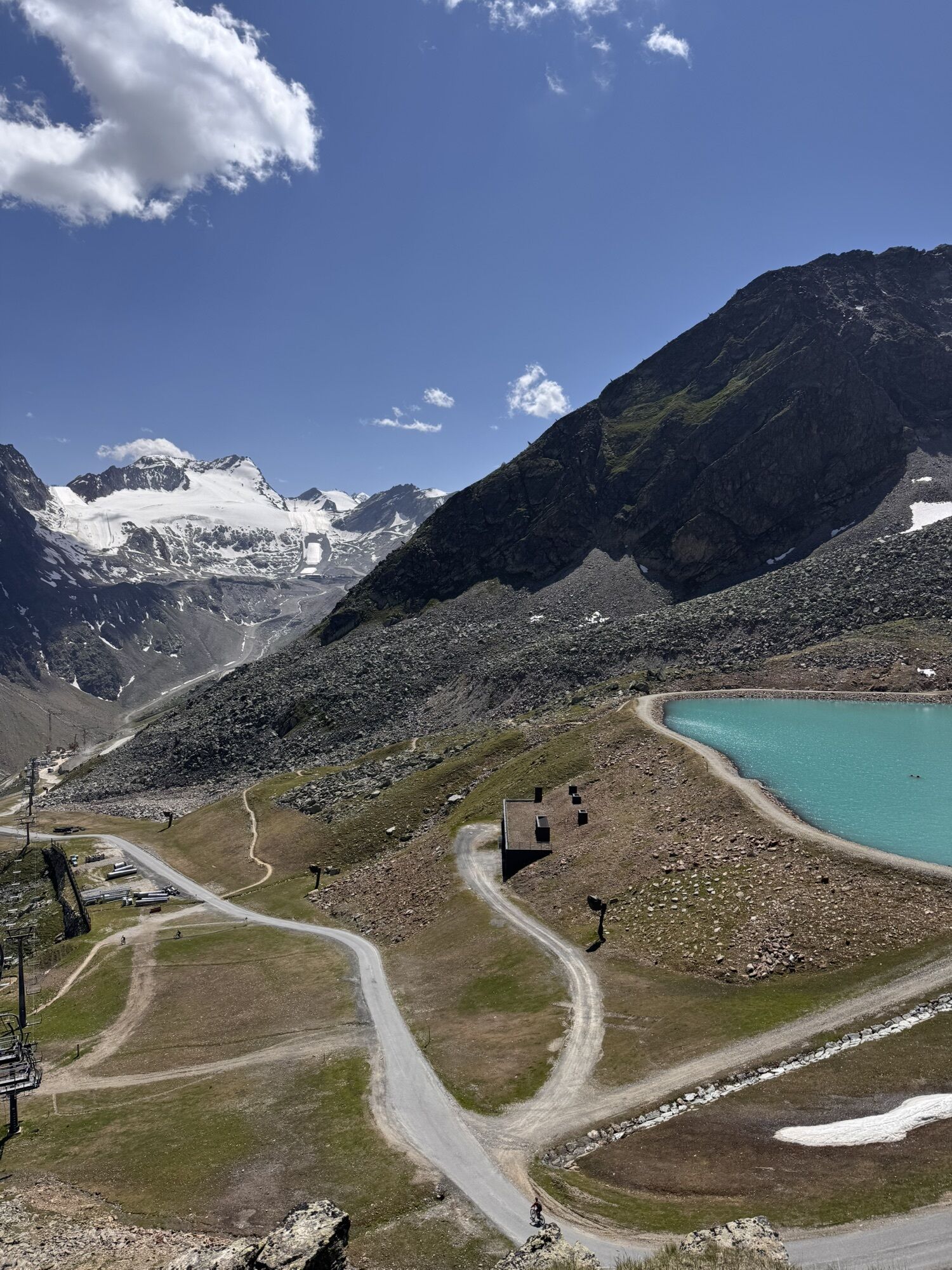
With almost 1.5 hours of ascent time, it could be described as the “easiest” 3,000-meter peak in Sölden. Past the idyllic Schwarzsee, the tour is sure to be an experience for everyone.
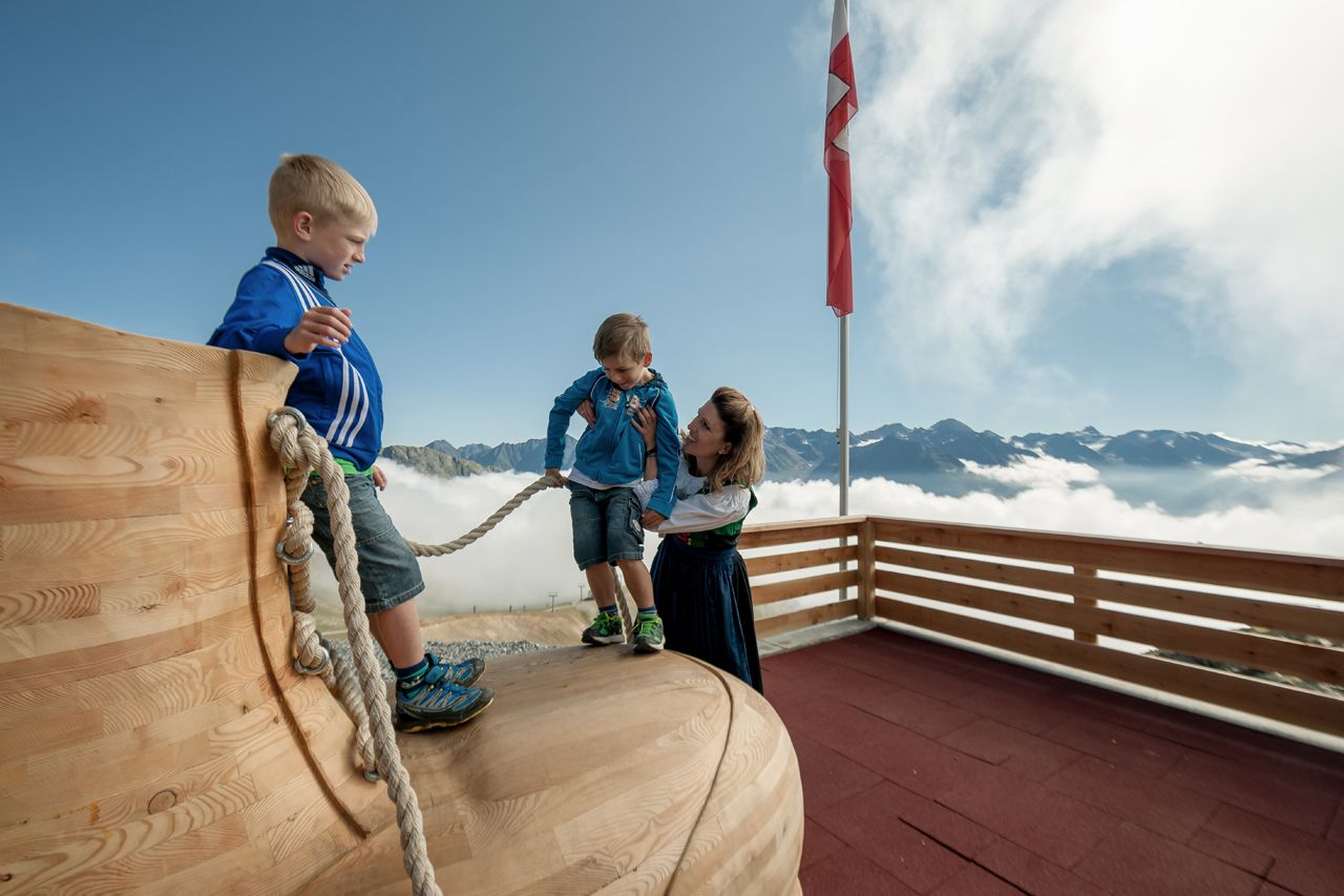
At the Rotkoglhütte our little visitors are in good hands on the playground with giant climbing shoes, slides, sandpit, etc. and who can say that they jumped on a trampoline at 2,666 m?
For not so nice weather we have prepared toys in our rooms. In the immediate surrounding of the hut is the “Maria Schnee” chapel, which is open to all visitors.


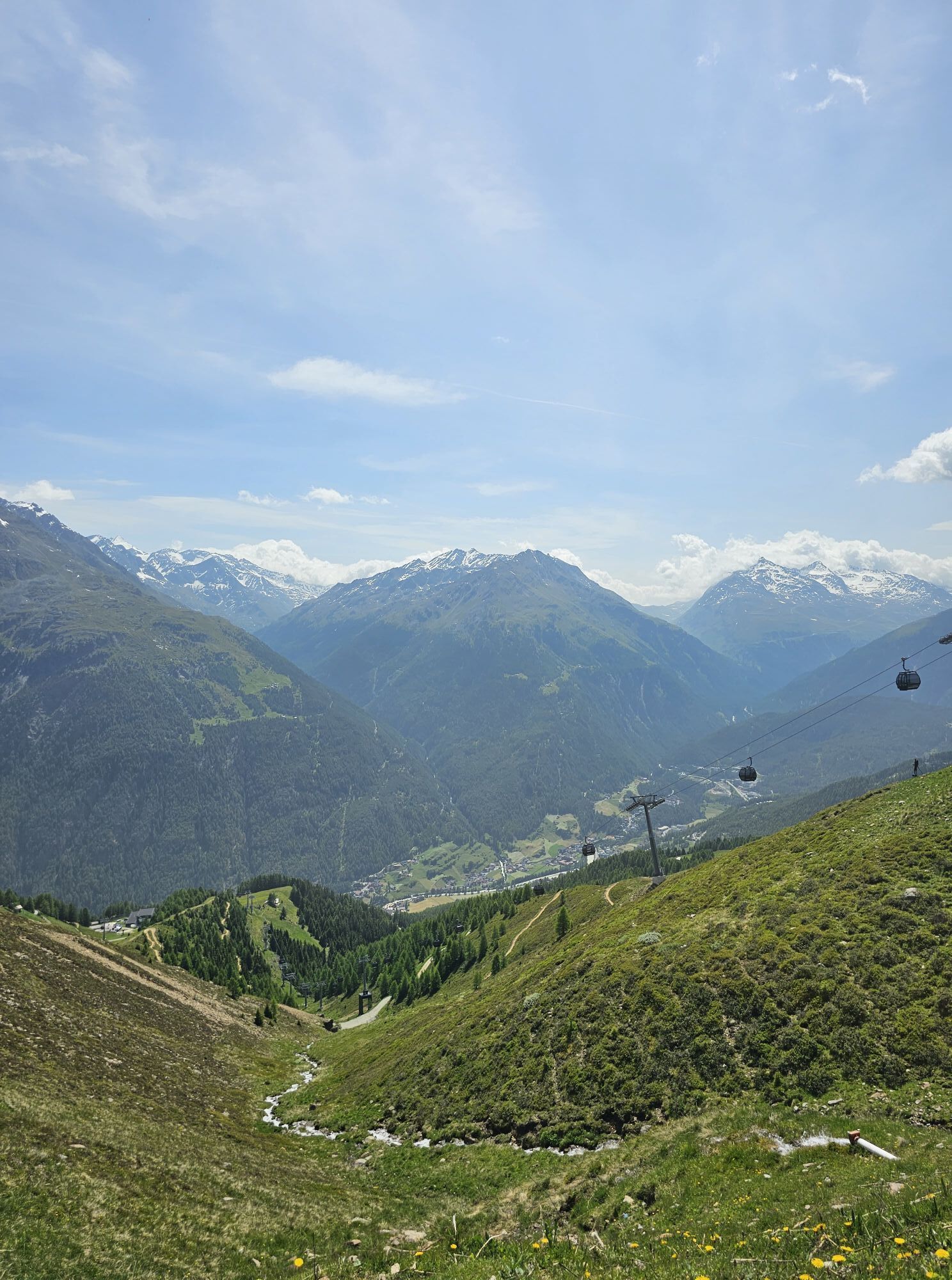
From the Giggijoch mountain station we hike along the road (which can be shortened in some cases), over pastures to the Rotkoglhütte. Enjoy the very nice view of the Rettenbach glacier and the mountains of the Stubaier Alps.
Option 2: From the Rettenbach glacier over the Schwarzsee to the Rotkogelhütte. Walking time approx. 2 hours
Sì
Appropriate equipment such as breathable suitable outdoor clothes for the weather, ankle-high walking boots, wind-, rain- & sun protection, hat, possibly gloves, is for all hikes and tours necessary. Please bring a first-aidbox, a mobile phone, a walking map and if there is no hut on the way a snack and enough to drink
Easy hike; suitable for beginners and walkers.
Please pay attention to the current weather report: https://www.oetztal.com/de/sommer.html
The car drive to the Ötztal valley. Situated in Tirol, the Ötztal valley set off in southerly direction and is the longest side valley in the Eastern Alps. The journey with the car leads you through the Inntal valley to the entrance of the valley and further on through the valley. Among the toll motorways you can also use the country roads. A route planner will show you the easiest and most convenient way: www.google.at/maps
Travel safe and comfortable with the train to the Ötztal Bahnhof train station. Last stop and exit point is the train station Ötztal Bahnhof. Afterwards you can travel smoothly and quick with the public transport or our local taxi companies through the valley to your desired destination. Please find the current bus timetable here:fahrplan.vvt.at
The following parking facilities are available in Sölden: Parking lot Postplatz parking lot Stiegele stair parking Giggijochbahn + underground garage Gaislachkoglbahn + underground garage Parking Hochsölden parking garage Hochsölden 1. parking lot
All parking is free during the day.
Parking for several days (eg hike tour):
Parkgarage Gaislachkoglbahn, Parkticket either online or directly at the cash desk of the Gaislachkoglbahn
More details about hiking In Ötztal: https://www.oetztal.com/wandern
Webcam del tour
I tour più popolari nelle vicinanze
- 4,7
Winnebachseehütte - Längenfeld/Gries
medioEscursionismo4,74 km - 3,1
Tiefenbachglacier - Mountaineering Village Vent
medioEscursionismo10,8 km - 4,5
Capanna Amberger - Längenfeld/Gries
medioEscursionismo5,60 km - 3,4
Peerler Lake
medioEscursionismo12,6 km - 4,5
Vent - Wilder Mann - Breslauer Hütte - Stableinalm
medioEscursionismo7,25 km - 5,0
Nissl Alm - Längenfeld/Gries
luceEscursionismo5,17 km - 4,4
Rundwanderung Hängebrück3
luceEscursionismo6,32 km - 4,5
Nederkogl
pesanteEscursionismo6,22 km - 4,5
Lake Gaislachsee
medioEscursionismo4,04 km - 5,0
07. 19.07.19 - Langeggbahn-Rotkogel–Schwarzsee-Schwarzkogel-Giggijochbahn
medioEscursionismo6,67 km

Escursioni e tracking


Non perdete le offerte e le ispirazioni per le vostre prossime vacanze
Il vostro indirizzo e-mail è stato aggiunto alla mailing list.