


Moosalm


Foto dei nostri utenti
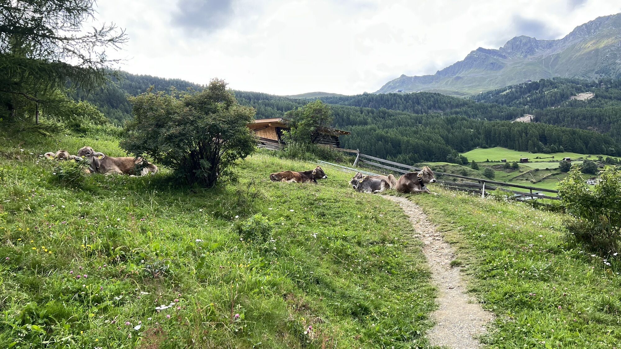
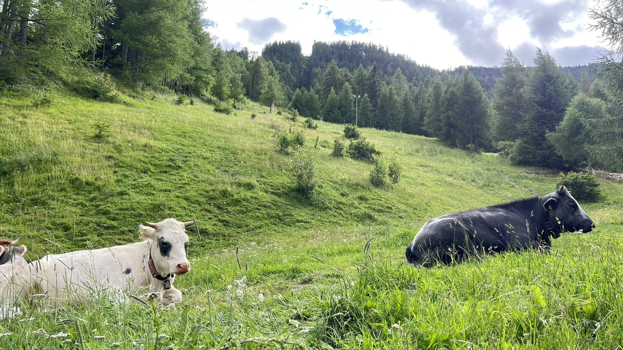
The Moosalm (1,500 m) in Sölden is well known for its traditional Tyrolean cuisine.
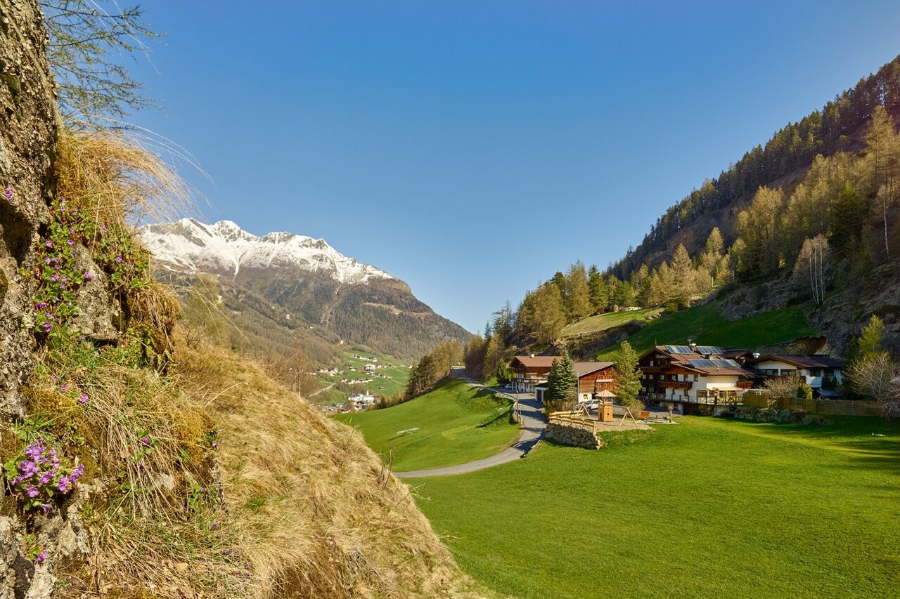
Start your hike from the Freizeit Arena or alternatively at the Gaislachkoglbahn in Sölden.
Cross the wooden bridge in...
The Moosalm (1,500 m) in Sölden is well known for its traditional Tyrolean cuisine.
Start your hike from the Freizeit Arena or alternatively at the Gaislachkoglbahn in Sölden.
Cross the wooden bridge in the direction of Windau up through Platte and turn left to the Moosalm.
Enjoy a fantastic panoramic view over Sölden.
Sì
Sì
Appropriate equipment such as breathable suitable outdoor clothes for the weather, ankle-high walking boots, wind-, rain- & sun protection, hat, possibly gloves, is for all hikes and tours necessary. Please bring a first-aidbox, a mobile phone, a walking map and if there is no hut on the way a snack and enough to drink.
Easy hike; suitable for beginners and walkers.Please pay attention to the current weather report: www.oetztal.com/de/sommer.html
The car drive to the Ötztal valley. Situated in Tirol, the Ötztal valley set off in southerly direction and is the longest side valley in the Eastern Alps. The journey with the car leads you through the Inntal valley to the entrance of the valley and further on through the valley. Among the toll motorways you can also use the countryroads. A route planner will show you the easiest and most convenient way: www.google.at/maps
Travel safe and comfortable with the train to the Ötztal Bahnhof train station. Last stop and exit point is the train station Ötztal Bahnhof. Afterwards you can travel smoothly and quick with the public transport or our local taxi companies through the valley to your desired destination. Please find the current bus timetable here:http://fahrplan.vvt.at
The following parking facilities are available in Sölden: Parking lot Postplatz parking lot Stiegele stair parking Giggijochbahn + underground garage Gaislachkoglbahn + underground garage Parking Hochsölden parking garage Hochsölden 1. parking lot
All parking is free during the day.
More details about hiking In Ötztal: https://www.oetztal.com/wandern
The Moosalm is open summer and winter.
I tour più popolari nelle vicinanze
- 4,7
Winnebachseehütte - Längenfeld/Gries
medioEscursionismo4,74 km - 4,7
Wilde Wasser Weg - Fortgeschritten
medioEscursionismo12,0 km - 4,9
Blaue Lacke
medioEscursionismo5,22 km - 4,5
Capanna Amberger - Längenfeld/Gries
medioEscursionismo5,60 km - 5,0
Dresdner hütte - sulzenauerhütte
medioEscursionismo12,1 km - 4,5
Vent - Wilder Mann - Breslauer Hütte - Stableinalm
medioEscursionismo7,25 km - 5,0
Nissl Alm - Längenfeld/Gries
luceEscursionismo5,17 km - 4,4
Rundwanderung Hängebrück3
luceEscursionismo6,32 km - 4,5
Nederkogl
pesanteEscursionismo6,22 km - 4,5
Lake Gaislachsee
medioEscursionismo4,04 km
Escursioni e tracking


Non perdete le offerte e le ispirazioni per le vostre prossime vacanze
Il vostro indirizzo e-mail è stato aggiunto alla mailing list.