


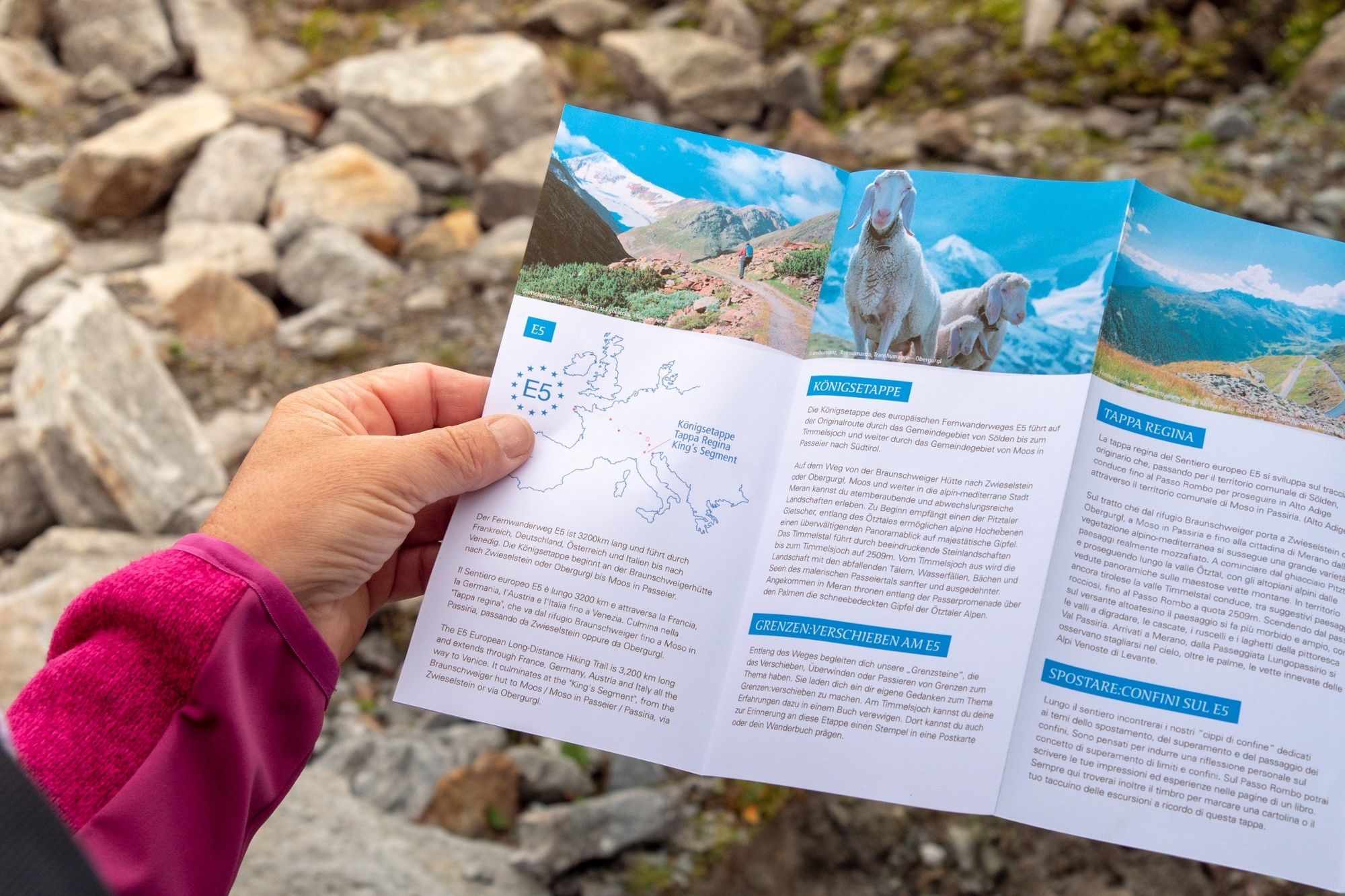
European E5 long-distance hiking trail – King’s Segment – Braunschweiger Hut to Zwieselstein (original route)


This particularly challenging segment of the trail starts at the Braunschweiger Hut (2,758 m) with a rather steep and difficult ascent to the Pitztaler Jöchl saddle (3,000 m), the highest point of this...
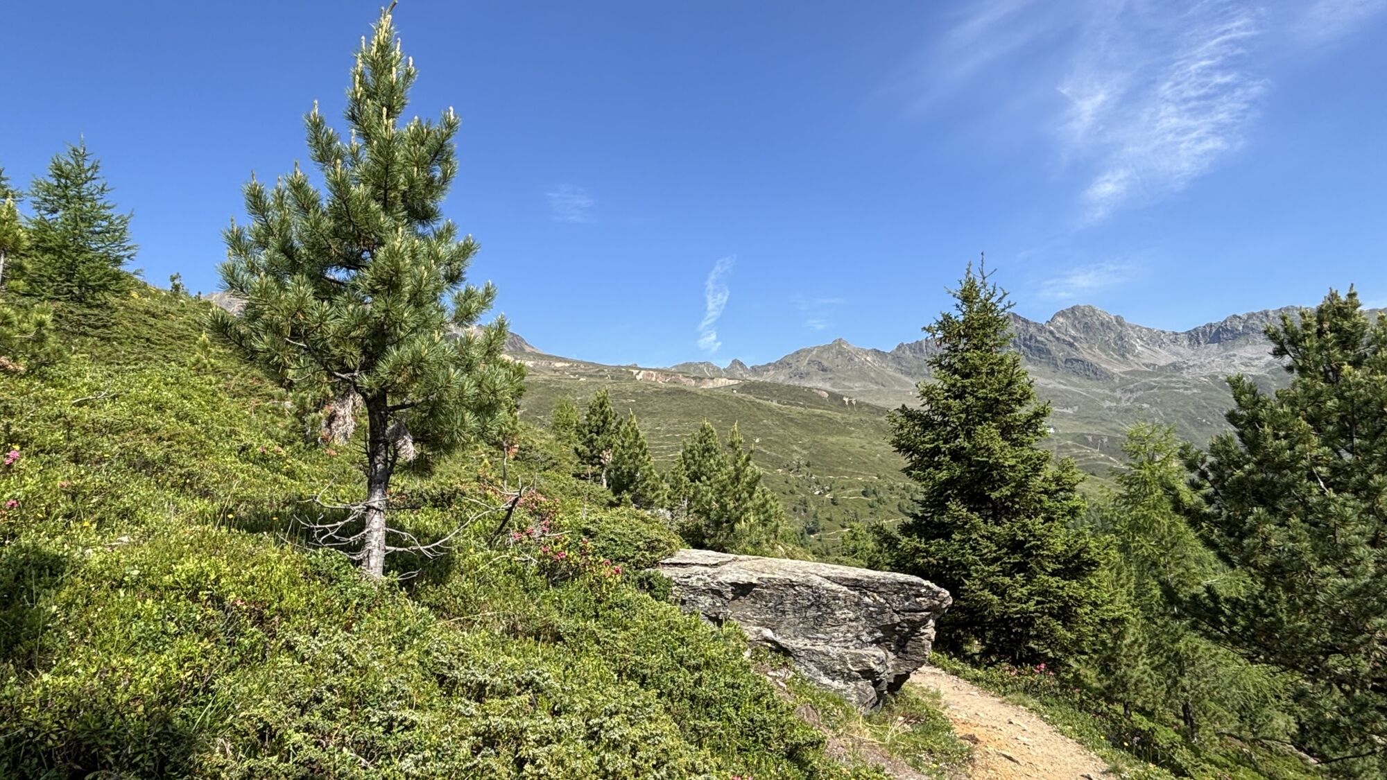
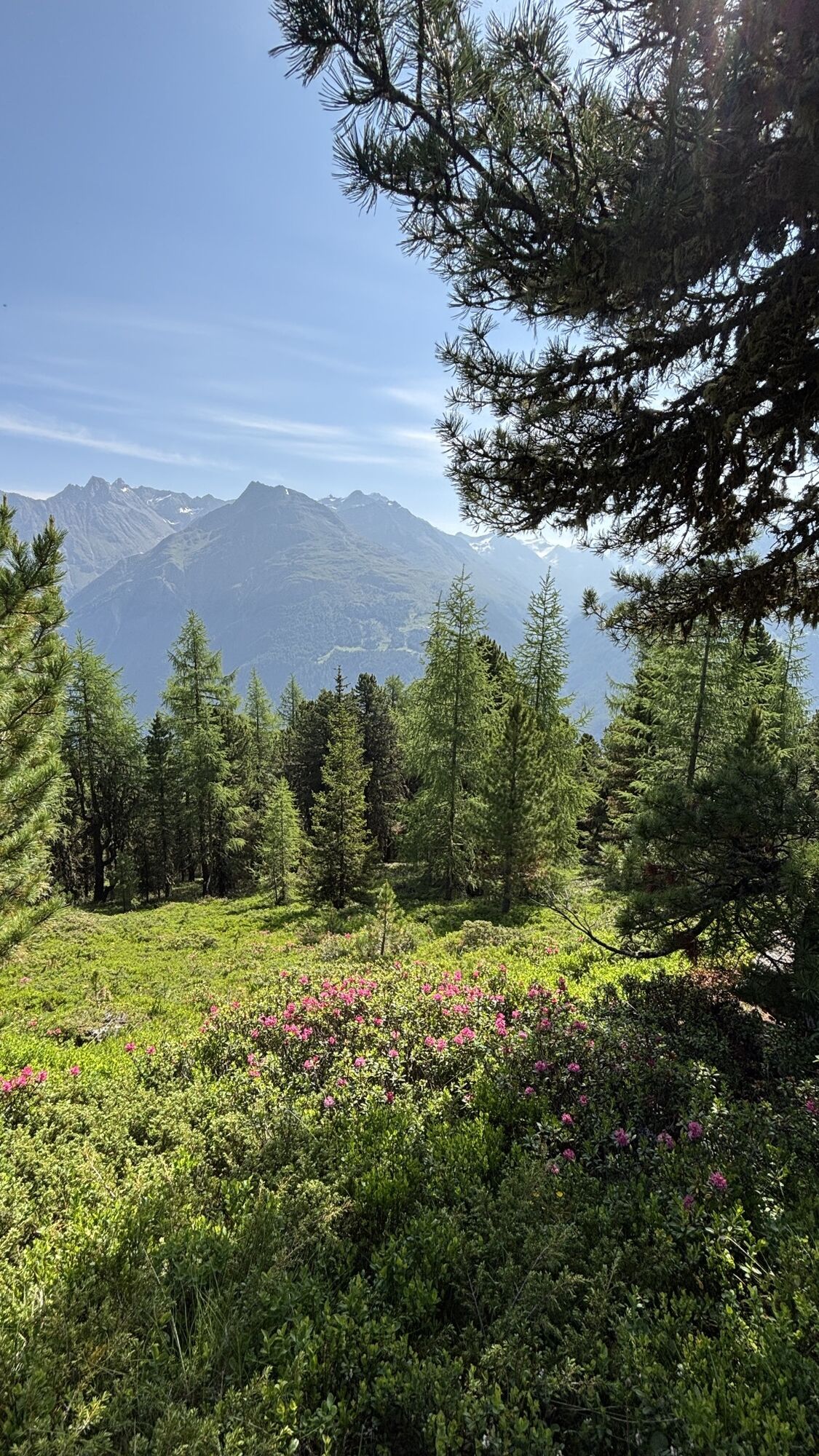
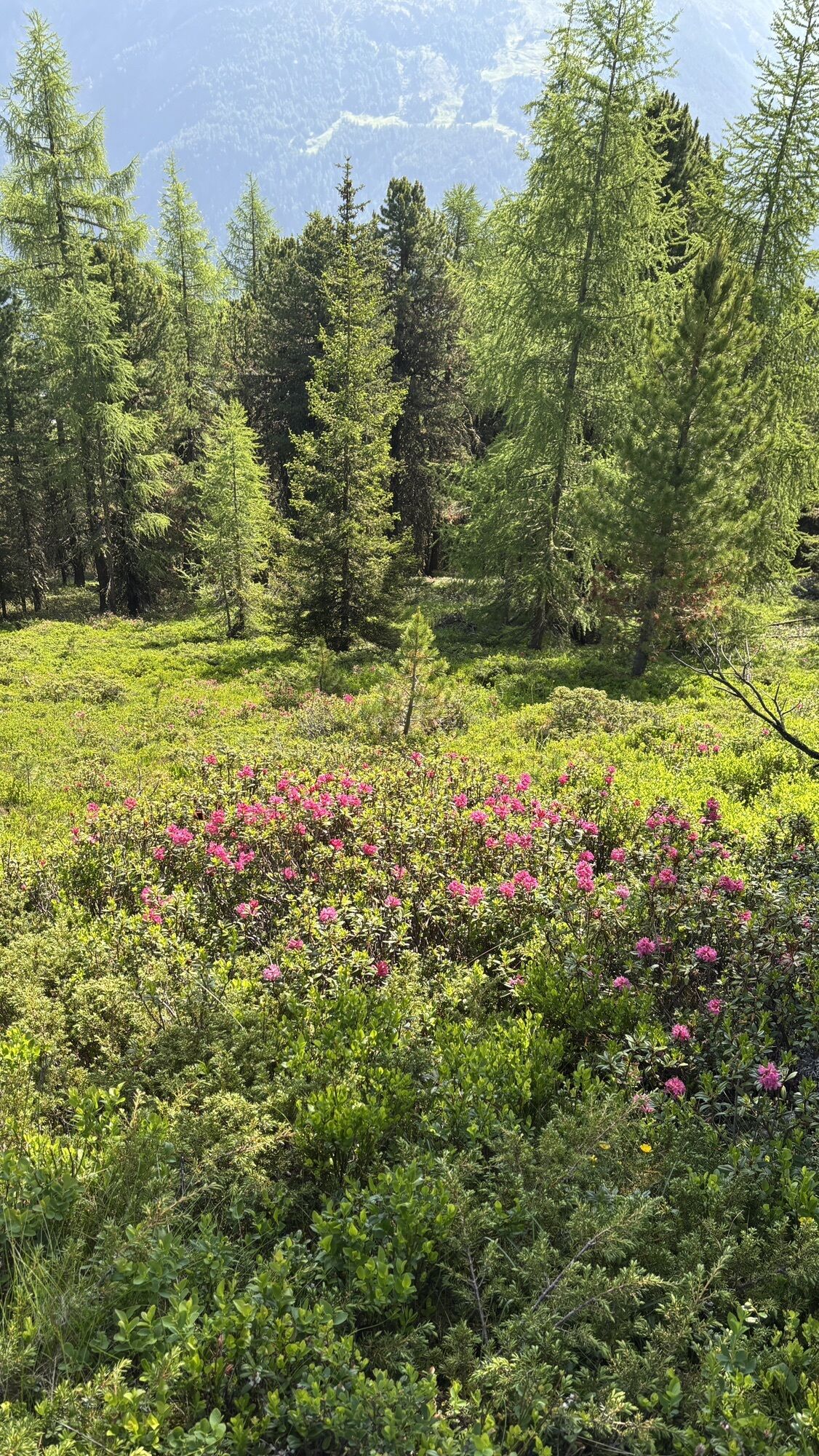
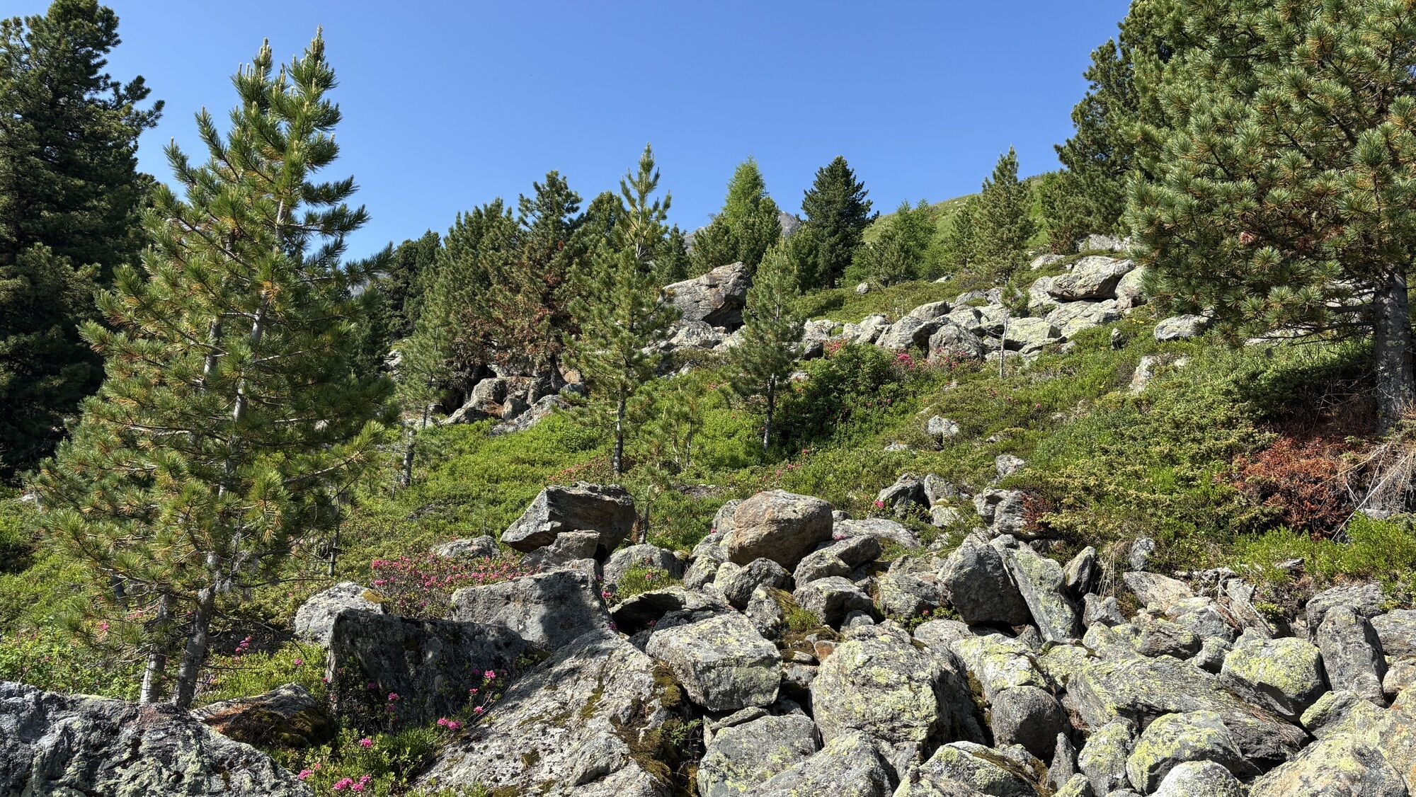
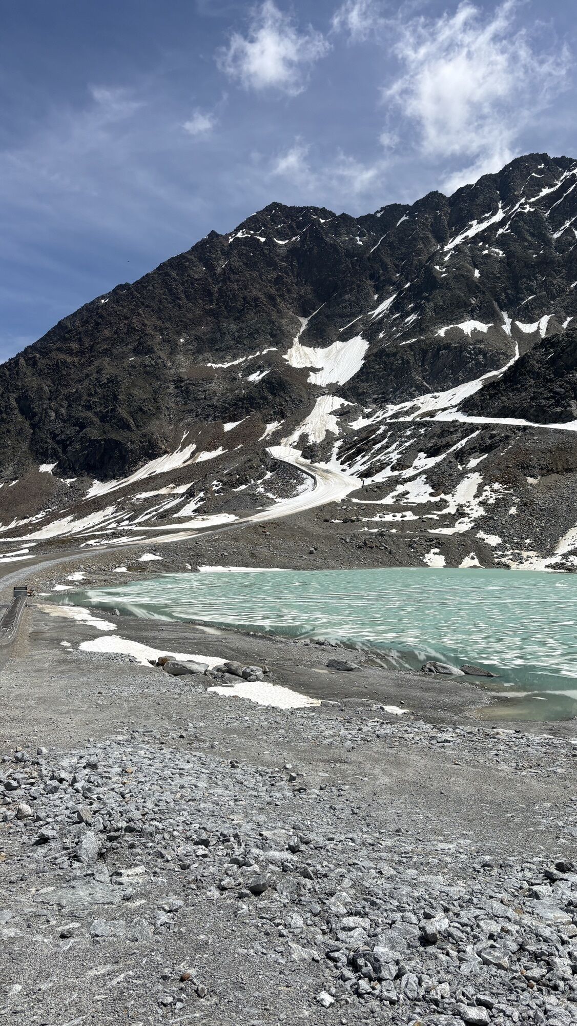
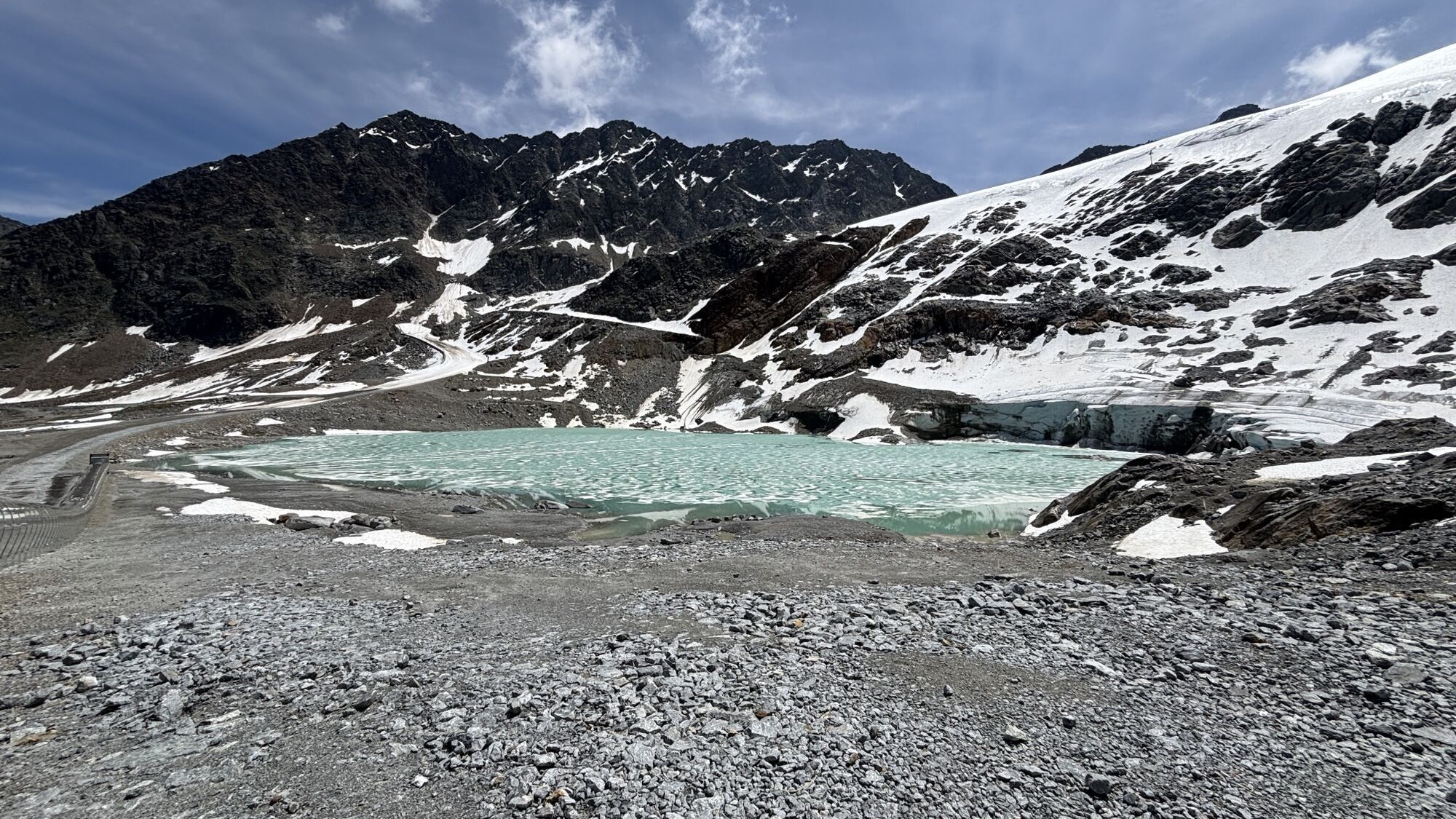
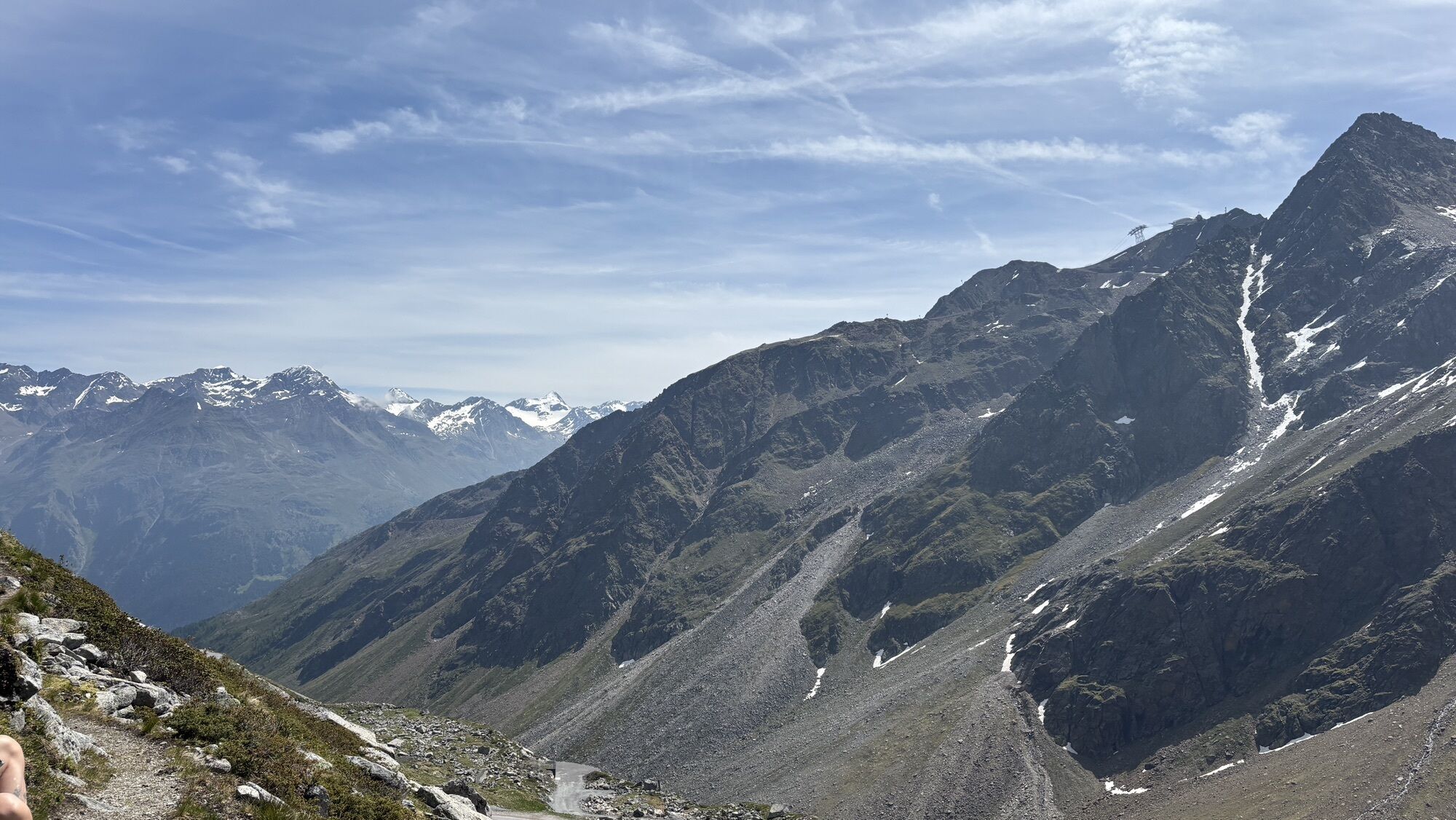
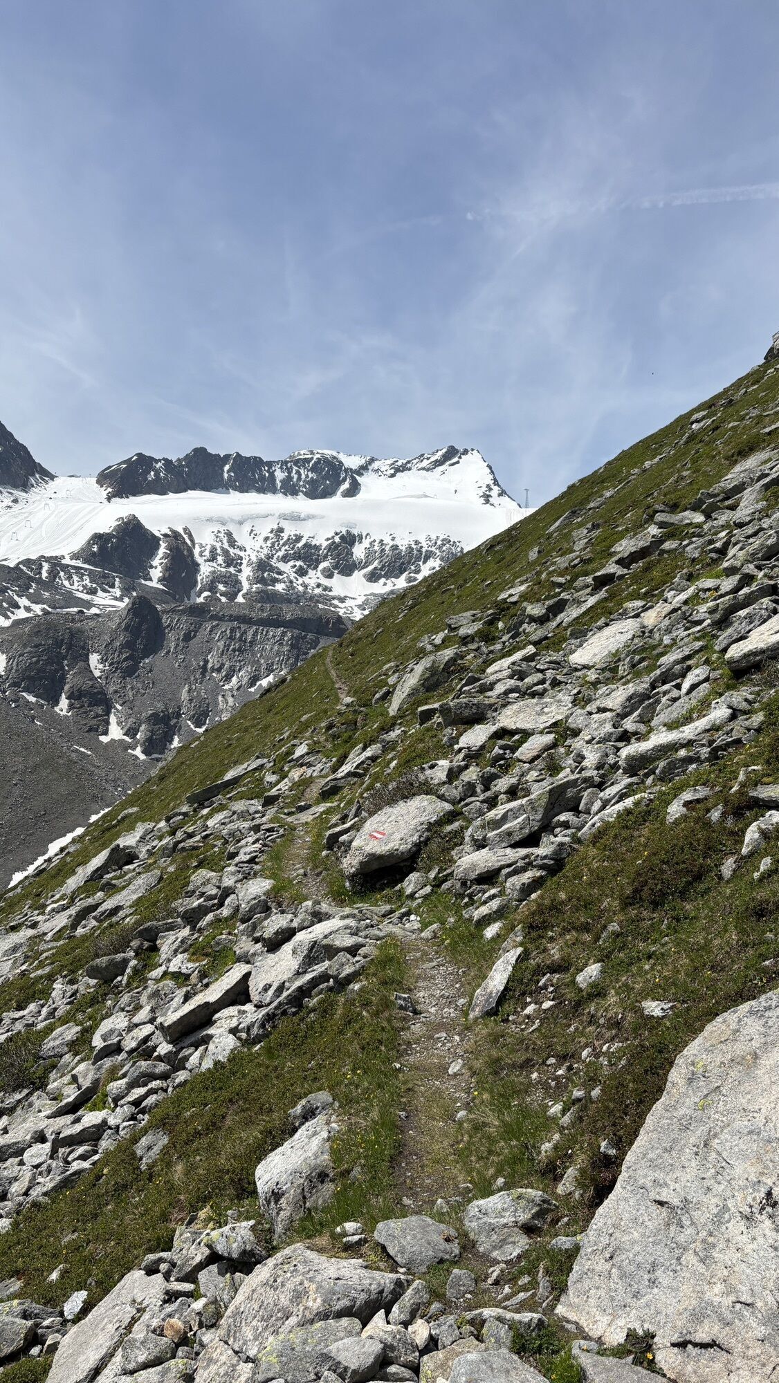
This particularly challenging segment of the trail starts at the Braunschweiger Hut (2,758 m) with a rather steep and difficult ascent to the Pitztaler Jöchl saddle (3,000 m), the highest point of this E5 segment. Once you reach the saddle, you will be rewarded with spectacular views of the Braunschweiger Hut, the Wildspitze mountain, the Rettenbachtal valley and the Riffelsee lake. You may encounter large snowfields in spring and early summer. There is an alternative shorter route via the Rettenbachjoch saddle. Both ways will take you to the Rettenbachferner glacier. From there, you will descend through the Rettenbachtal valley past luscious pastures and a little chapel to Zwieselstein (1,470 m).

The Ötztal is a southern side valley of the Inn valley. For your arrival by car, you can plan the best route from your home town with the route planner online at https://www.google.at/maps
Enjoy a both comfortable and relaxing train ride to the train station in Ötztal Bahnhof. You get off the train in ÖTZTAL Bahnhof where you change to a public bus or local taxi. The current bus schedule can be found at: http://fahrplan.vvt.at
Webcam del tour
Gaislachkogel
Schwarze Schneidbahn
Tiefenbachgletscher
Rettenbachgletscher
Hochsölden
Sölden - Grünwald Resort
Top Mountain Crosspoint Hochgurgl
Top Mountain Crosspoint Hochgurgl
Top Mountain Crosspoint Hochgurgl
Top Mountain Crosspoint Hochgurgl
Top Mountain Crosspoint Hochgurgl
Sölden - Grünwald Resort
Giggijoch
Gletscherexpress Bergstation
Gletscherexpress Bergstation
Top Mountain Crosspoint Hochgurgl
Schwarze Schneid Mittelstation
Sölden - Gaislachkogelbahn Mittelstation
Sölden - Schwarzkogl Talstation
Sölden - Tiefenbachkogl
Sölden
The Peak Sölden**** Chalets und Appartements
I tour più popolari nelle vicinanze
- 4,4
Rundwanderung Hängebrück3
luceEscursionismo6,32 km - 4,5
Lake Gaislachsee
medioEscursionismo4,04 km - 5,0
07. 19.07.19 - Langeggbahn-Rotkogel–Schwarzsee-Schwarzkogel-Giggijochbahn
medioEscursionismo6,67 km - 3,5
Timmelsjoch - Brunnenkogelhaus
pesanteEscursionismo8,47 km - 4,3
Sulztal Alm
luceEscursionismo3,70 km - 4,8
Aufstieg zur Rüsselsheimer Hütte
luceEscursionismo3,28 km - 4,0
E5 - 4. Etappe: Zams - Braunschweiger Hütte
medioPercorso a piedi di lunga distanza5 km - 5,0
Rotkoglhütte
luceEscursionismo3,67 km Lift-Assisted Hike: Gaislachkogl
medioSentiero tematico2,78 km- 5,0
St. Leonhard im Pitztal, Rifflsee - Plodersee - Rifflseehütte, Österreich
medioEscursionismo8,25 km
Escursioni e tracking


Non perdete le offerte e le ispirazioni per le vostre prossime vacanze
Il vostro indirizzo e-mail è stato aggiunto alla mailing list.