


Burgstein Round Trip


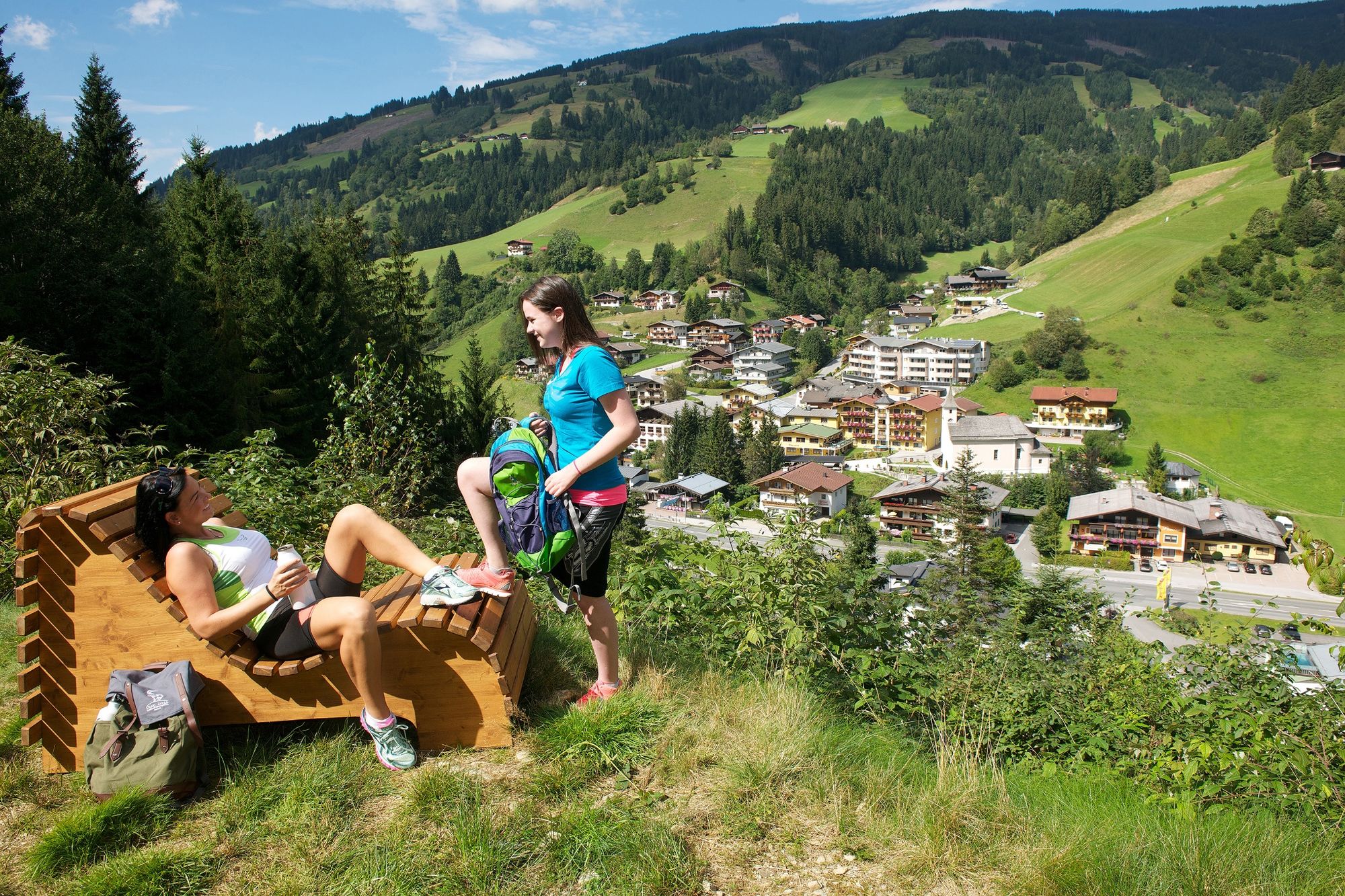
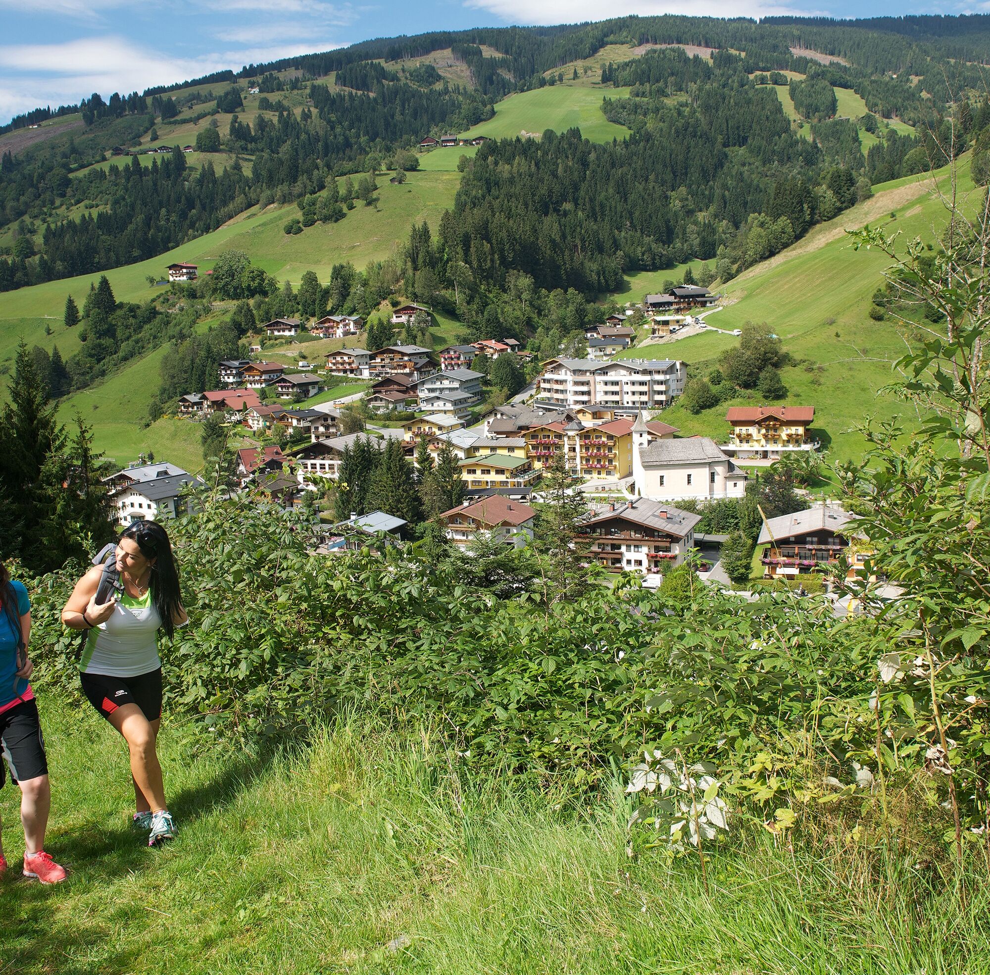
The Burgstein Round trip is an easy and varied hike leading over hiking trails and paths, crossing bridges, and leading through forests and over meadows. Surrounded by a beautiful view of Viehhofen. Ideal...
The Burgstein Round trip is an easy and varied hike leading over hiking trails and paths, crossing bridges, and leading through forests and over meadows. Surrounded by a beautiful view of Viehhofen. Ideal also with children. The round is not too long and enough benches to relax are available.
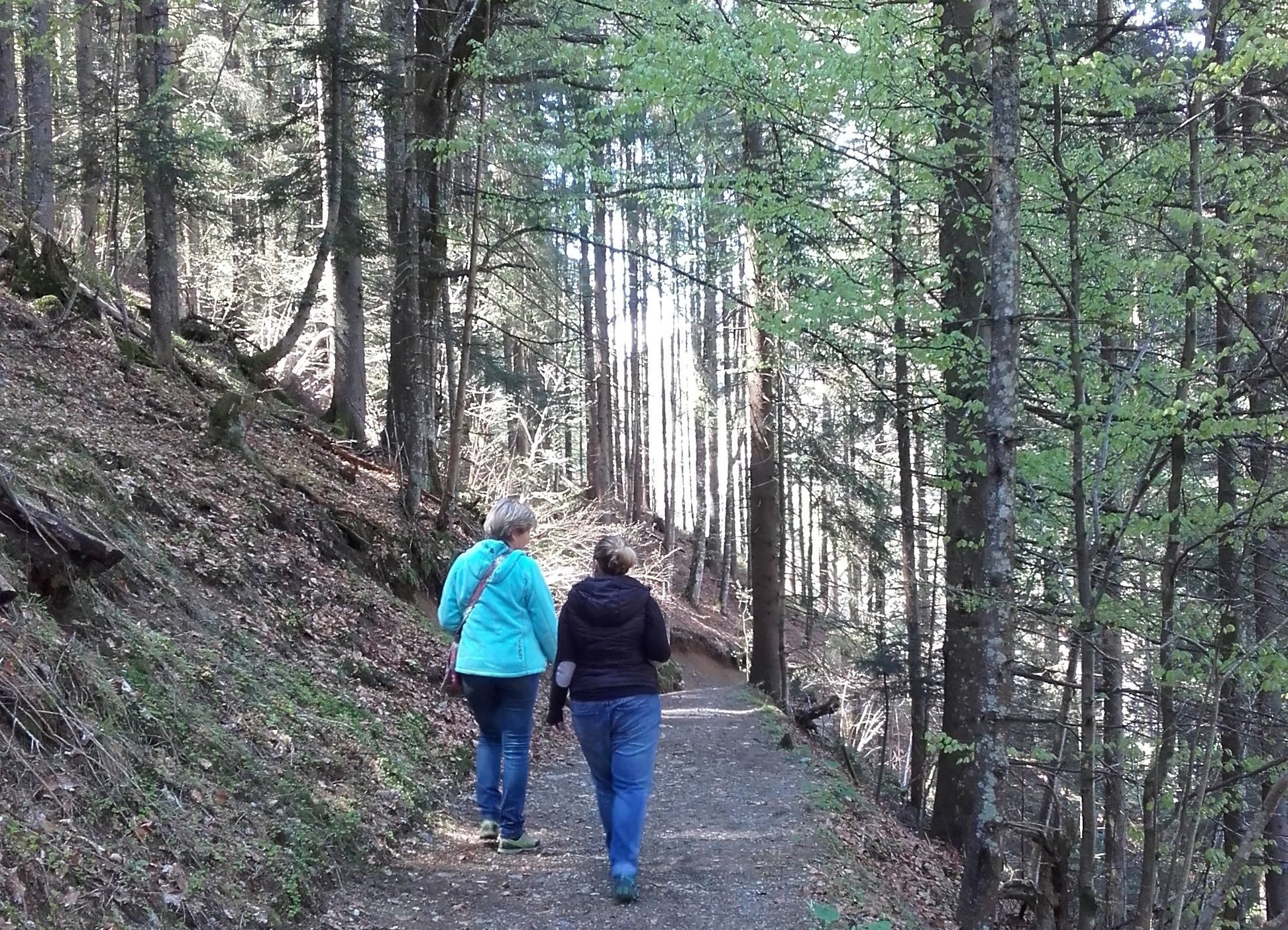
Cross the main road and the bridge. Follow the forest road to the small bridge and the signs Burgsteinweg. Pass the Burgstein farmhouse, cross the track, turn left on the walking and cycle path. Cross the road in at the tennis courts and follow the track over the meadow back to the Tourist Service Centre.
Sì
Viehhofen liegt im Glemmtal zwischen Zell am See und Saalbach-Hinterglemm. Beide Orte sind ca. 9 km entfernt.Aus Richtung Zell am See und aus Richtung Saalfelden kommend bei Maishofen in das Glemmtal abbiegen. Von Maishofen sind es ca. 5 km bis Viehhofen.
Anreise mit dem Zug bis Zell am See. Bus Nr. 680 fährt stündlich zwischen Zell am See und Viehhofen. Der Startpunkt der Tour befindet sich direkt an der Haltestelle "Viehhofen Ortszentrum".
Direkt im Zentrum von Viehhofen gibt es einen öffentlichen Parkplatz der kostenlos während des Tages genutzt werden kann. Der Startpunkt befindet sich direkt bei diesem Parkplatz.
Fotopoint mit wunderschönem Postkartenmotiv; Sammlung alter bäuerlicher Werkzeuge am Burgstein-Stall
I tour più popolari nelle vicinanze
-
4,3
rifugio Peter-Wiechenthaler
medioEscursionismo 4,32 km -
4,5
Birnbachloch Leogang, Österreich
medioEscursionismo 5,18 km -
4,5
Lettlkaser
medioEscursionismo 4,40 km -
4,4
Sigmund Thun Klamm
luceEscursionismo 3,10 km -
4,6
Steinalm
luceEscursionismo 2,71 km -
4,4
Birnbachloch
medioEscursionismo 6,40 km -
5,0
Leoganger SÜD
pesanteVia ferrata 4,08 km -
4,3
Family Hike Prinzensee
luceEscursionismo 4,13 km -
4,2
Spielbergalmen
medioEscursionismo 10 km -
4,8
Sigmund Thun Klamm, Klammsee, Bürgkogel
luceEscursionismo 4,56 km
Escursioni e tracking


Non perdete le offerte e le ispirazioni per le vostre prossime vacanze
Il vostro indirizzo e-mail è stato aggiunto alla mailing list.