


HOHE TAUERN PANORAMA TRAIL | ET11: Thumersbacher Höhenpromenade | Zell am See-Bruck a. d. Großglocknerstraße


Foto dei nostri utenti
 © Hubert SellnarCreato il 01.12.2022
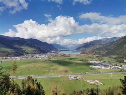
 © Matej Mikus 1Creato il 12.10.2022
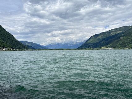
 © Susanne Johansson PantzareCreato il 17.06.2024
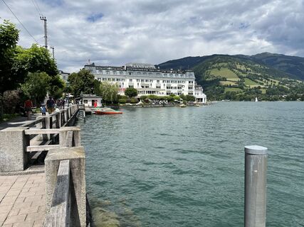 © Susanne Johansson PantzareCreato il 17.06.2024
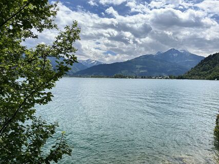 © Susanne Johansson PantzareCreato il 17.06.2024
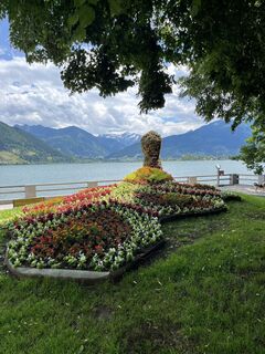 © Susanne Johansson PantzareCreato il 17.06.2024
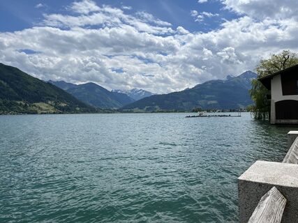 © Susanne Johansson PantzareCreato il 17.06.2024
 © Maja GriffithCreato il 15.07.2023
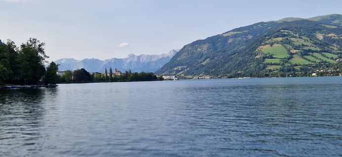
 © Daniela DamianCreato il 10.07.2023
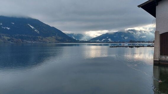 © Hubert SellnarCreato il 01.12.2022
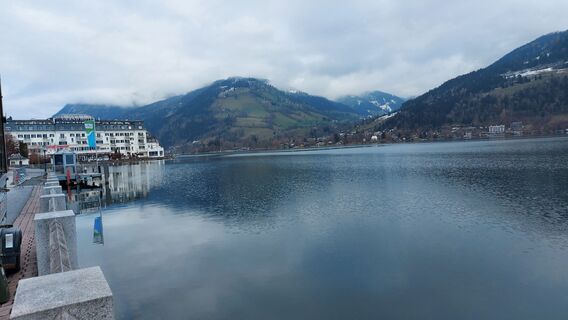 © Hubert SellnarCreato il 01.12.2022
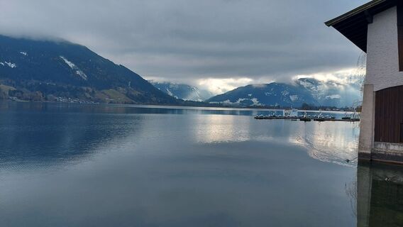 © Hubert SellnarCreato il 01.12.2022
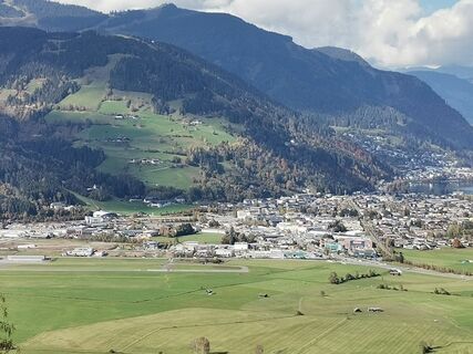 © Matej Mikus 1Creato il 12.10.2022
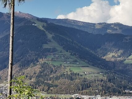 © Matej Mikus 1Creato il 12.10.2022


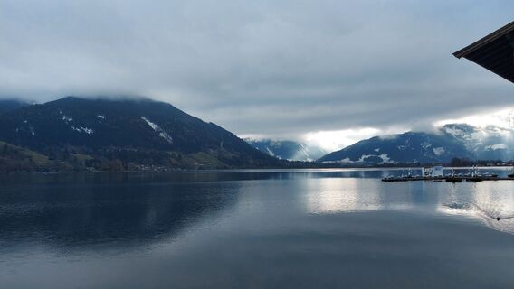
After 10 stages on the Hohe Tauern Panorama Trail, this section offers pure relaxation and balance. The moderately short 3-hour hike leaves plenty of time to unwind along Lake Zell via Thumersbach and...
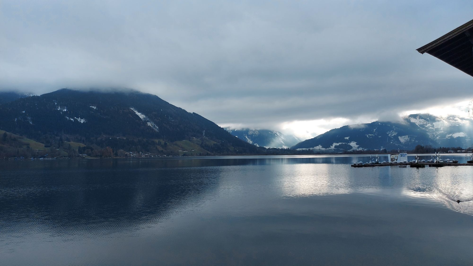
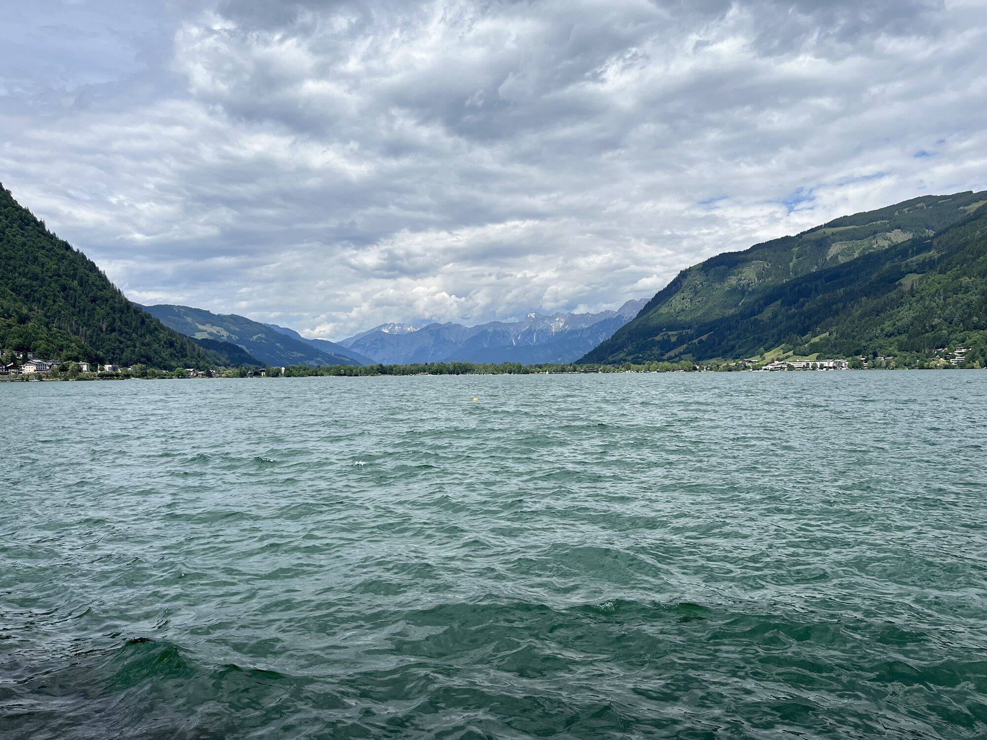
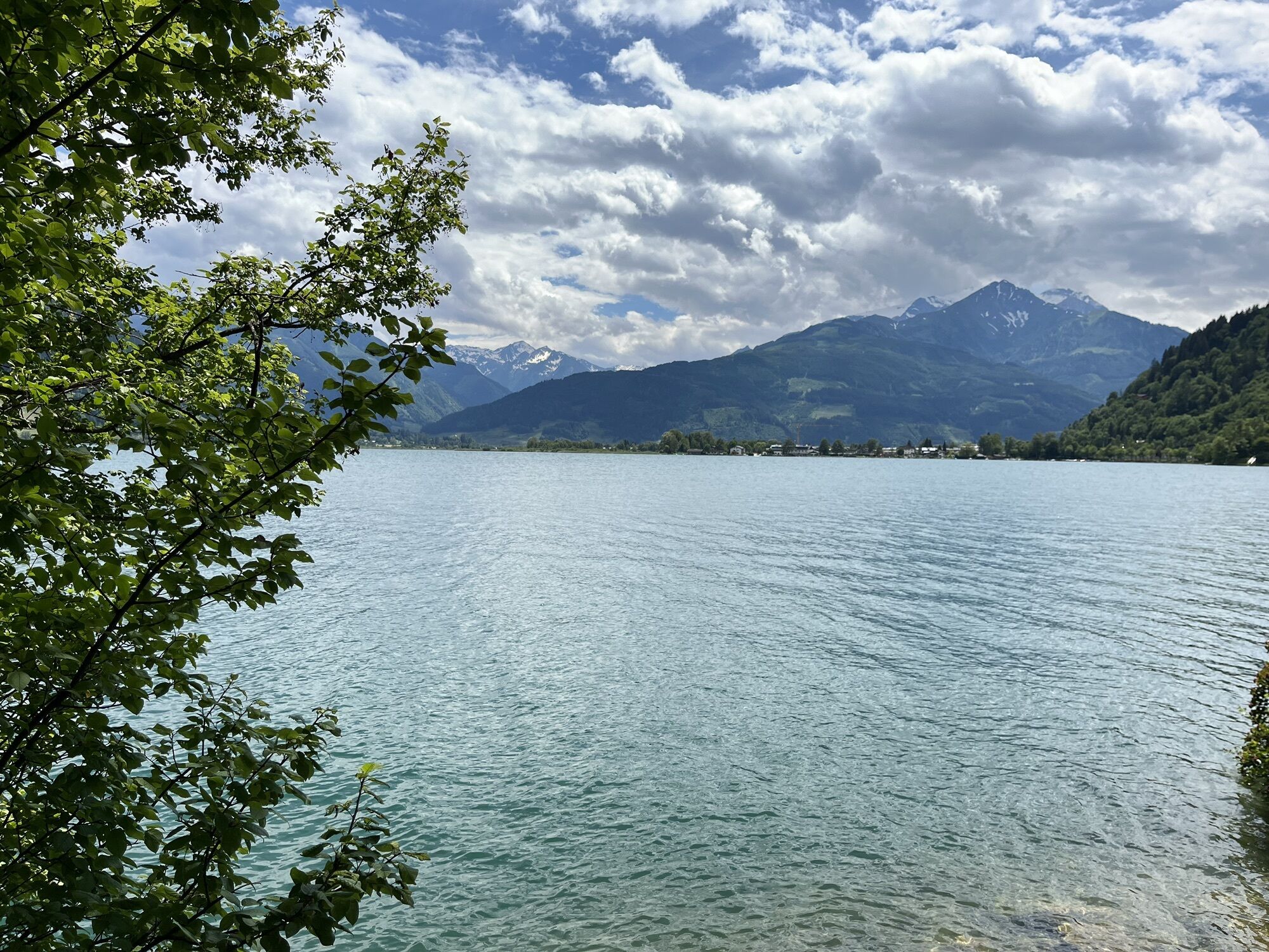
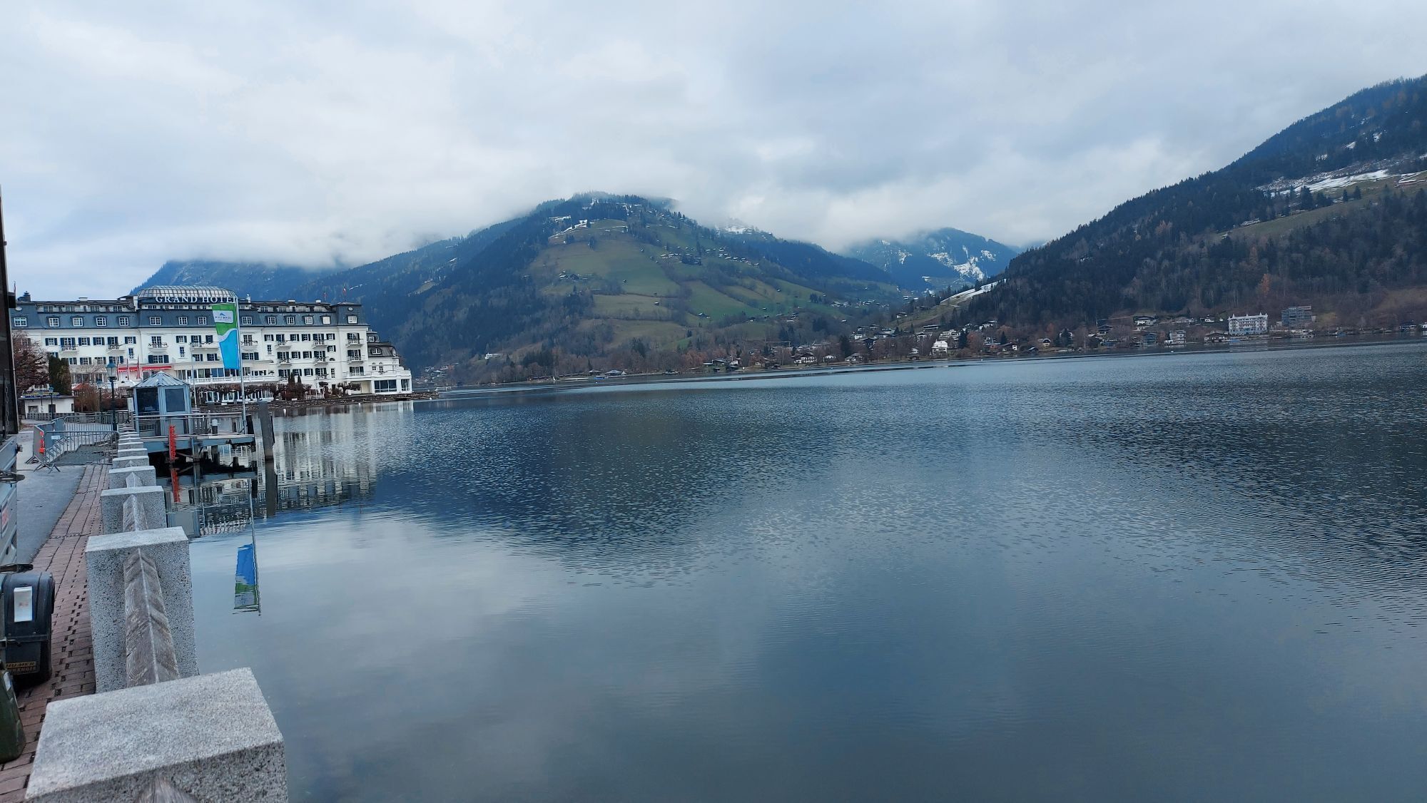
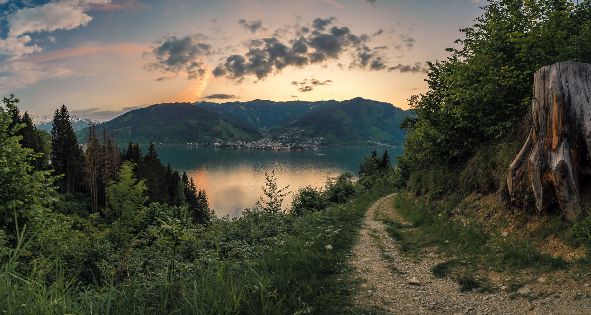
After 10 stages on the Hohe Tauern Panorama Trail, this section offers pure relaxation and balance. The moderately short 3-hour hike leaves plenty of time to unwind along Lake Zell via Thumersbach and the high-altitude promenade to Bruck an der Großglocknerstraße. The hike offers all too many temptations: fantastic close-up and distant views of Lake Zell and the surrounding mountains, romantic spots to sit on the shore and beautiful reed beds. With the Thumersbacher Höhenpromenade, you hike along a very successful themed trail that describes important personalities who have left their mark. In short, it's the start of a very varied day that will give you plenty of energy for the next few days.
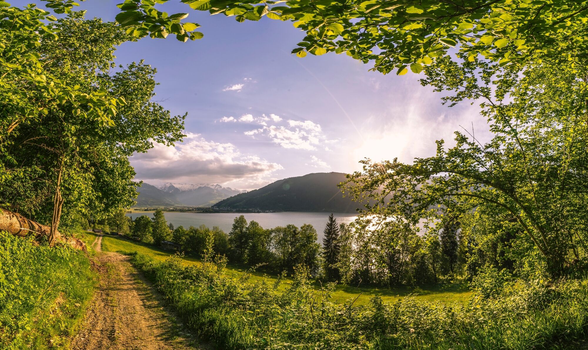
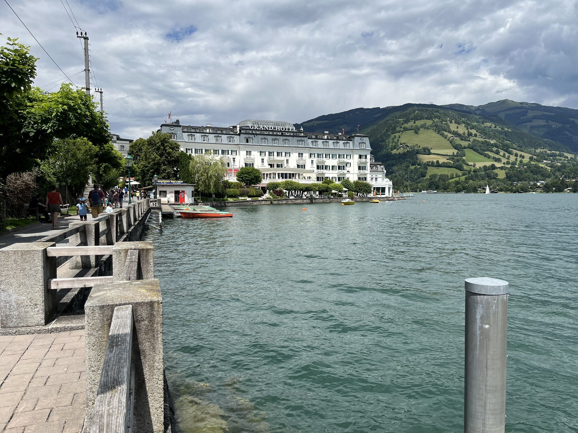
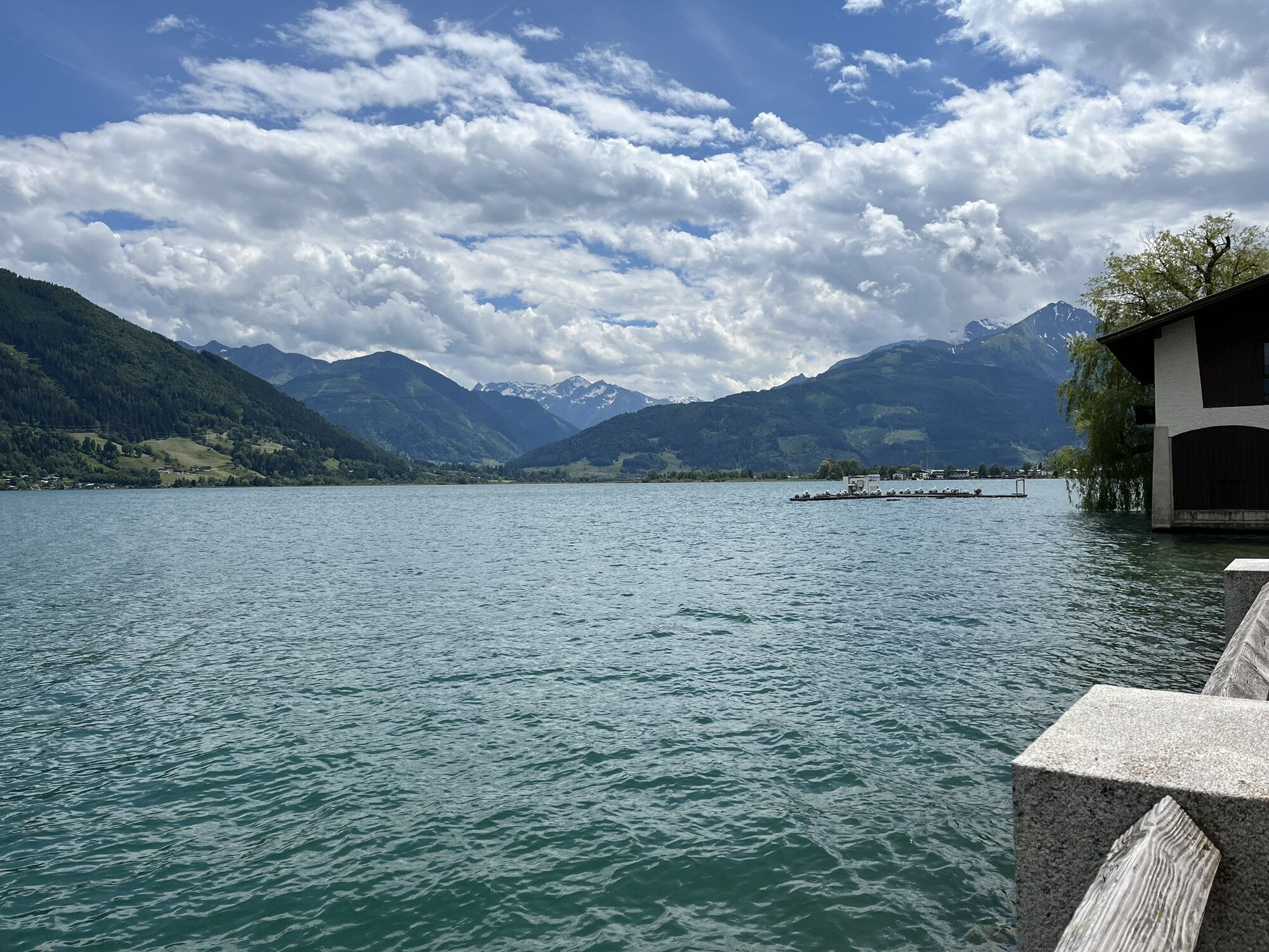
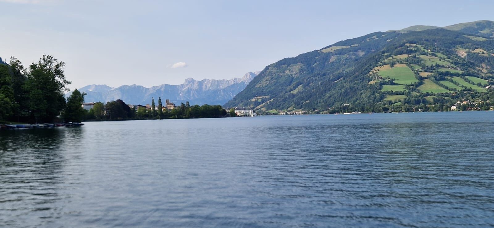
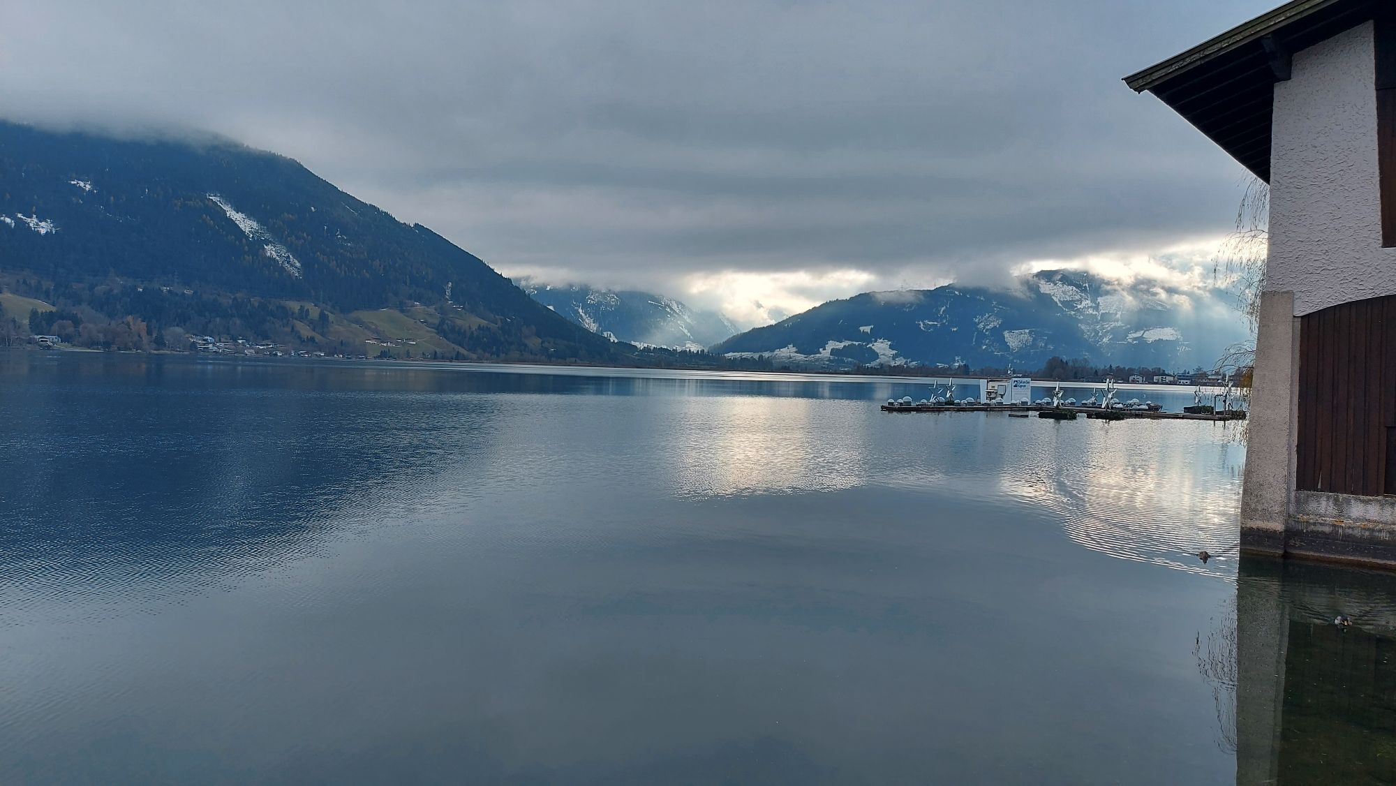
The starting point for this stage is the start/finish board of the Hohe Tauern Panorama Trail in Zell am See - more precisely in Elisabethpark directly opposite the train station. First you hike the same route as the day before along the shores of Lake Zell northwards through Elisabethpark to the famous Grand Hotel with its Hundertwasser fountain. Past the hotel, you continue along small asphalt roads along the shore to the north until the road turns into a beautiful gravel footpath at See-Villa Freiberg. Follow this directly along the shore until it ends on the northern shore of Lake Zell (near the hospital) and you are directed left to an asphalt road. Then continue in the same direction (i.e. to the right) until you reach Thumersbach, directly opposite Zell am See. In Thumersbach, you should hike down to the shore again briefly, as from here you are hiking above the lake and no longer directly on the shore, and there are some last places to stop for refreshments.
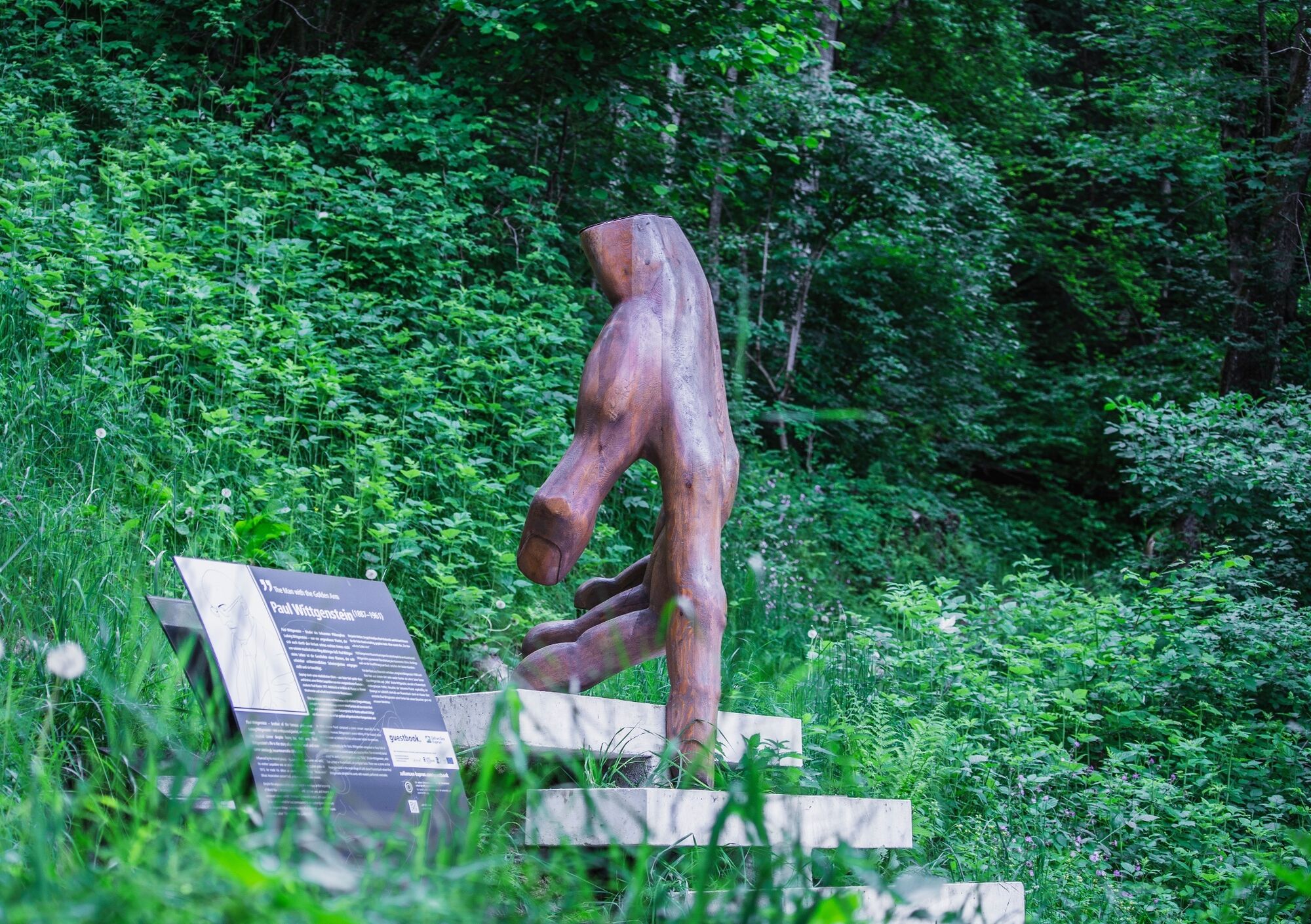
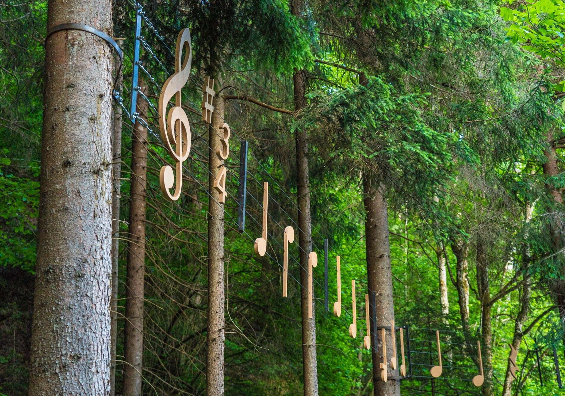
However, if you do not hike down to the lake, turn left into Talstraße in Thumersbach and follow it until shortly before the fire station, where you turn right towards "Enzianhütte/Höhenpromenade". After a left-hand bend, a footpath branches off to the right towards "Erlhof". Here you are now at the start of the "Thumersbacher Höhenpromenade" theme trail. This leads beautifully through the forest above Lake Zell past several sculptures and stations dedicated to important personalities. At a fork in the path, take the right-hand path towards "Erlhof" and reach an asphalt road at Grafleiten, which leads downhill to a large road. Then turn left onto the road and follow it for a few minutes until you turn right onto the "Seerundweg" between the Haus Gabi bathing area and a soccer pitch. This beautiful walk leads through the reed belt of Lake Zell to a bridge. Cross the bridge and immediately behind it turn sharp left into the "Rösslpromenade", which leads to the "Porsche Reithalle". Here you turn left onto a path that leads through a beautiful avenue to the "Wiesen-Königreich" viewpoint. It should be mentioned at this point that this section is located in part of the Wiesen-Königreich, a wetland area on Lake Zell, and the nature discovery trail established in 2015 highlights the special features of this nature reserve.
After the viewpoint, turn left onto the path that leads to Thumersbacher Straße, from which you turn right (signposted Tauernradweg). Immediately afterwards, a right-left turn at the Trauner car dealership leads to an underpass on the other side of the main road. Here you continue along the Tauern Cycle Path past the Shiloh Ranch to a crossroads and take the path diagonally to the right (do not go through the underpass), which takes you along the railroad line, past the sports field, to a pedestrian bridge, the "Stefan Schwaiger Steg". Then cross the bridge and turn left behind it into a small road that leads directly to the village square of Bruck an der Großglocknerstraße. At the village square, where you will also find the BRUCK FUSCH | GROSSGLOCKNER tourist information office, you have reached the end of the stage. From here you can see the Lukasbrücke bridge, which incidentally marks the start of the world-famous Grossglockner High Alpine Road with the kilometer marker 0.
Hiking boots, rucksack, sufficient liquid, possibly rainwear
Coming from the north: German highway A9 from Munich
Coming from the south: A10 Tauernautobahn
Coming from the east: A1 Westautobahn
Coming from the west: A12 Inntalautobahn to Wörgl, then federal highways
The IC/EC train station is located in Zell am See.
Parking facilities are available
Vacation Region Hohe Tauern National Park
Gerlosstraße 18 5730 Mittersill, Austria
Tel. +43 6562 40939 E-Mail: hohetauerntrail@nationalpark.at
Booking center & info hotline Trail Angels GmbH
9821 Obervellach 15, Austria
Tel. +43 4782 93093 E-Mail: info@bookyourtrail.com
I tour più popolari nelle vicinanze
- 4,3
Bruck: 732+736+730 | Drei Brüder
pesanteEscursionismo16,1 km - 4,4
Sigmund Thun Klamm
luceEscursionismo3,10 km - 4,7
Fusch: Gleiwitzer Hütte
pesanteEscursionismo8,26 km - 4,3
Family Hike Prinzensee
luceEscursionismo4,13 km - 4,8
Sigmund Thun Klamm, Klammsee, Bürgkogel
luceEscursionismo4,56 km - 4,4
Thumersbach, Runde um den Zeller See
luceEscursionismo13,3 km - 4,8
Von Embach zum Kitzlochklamm und über Maria Elend zurück
medioEscursionismo9,36 km - 4,6
Areitweg - Plettsauerkopf - Rundwanderung
medioEscursionismo11,8 km - 5,0
Family tour around Klamsee
luceEscursionismo3,27 km - 3,5
Saalachtaler Höhenweg
medioEscursionismo17,0 km
Escursioni e tracking


Non perdete le offerte e le ispirazioni per le vostre prossime vacanze
Il vostro indirizzo e-mail è stato aggiunto alla mailing list.