


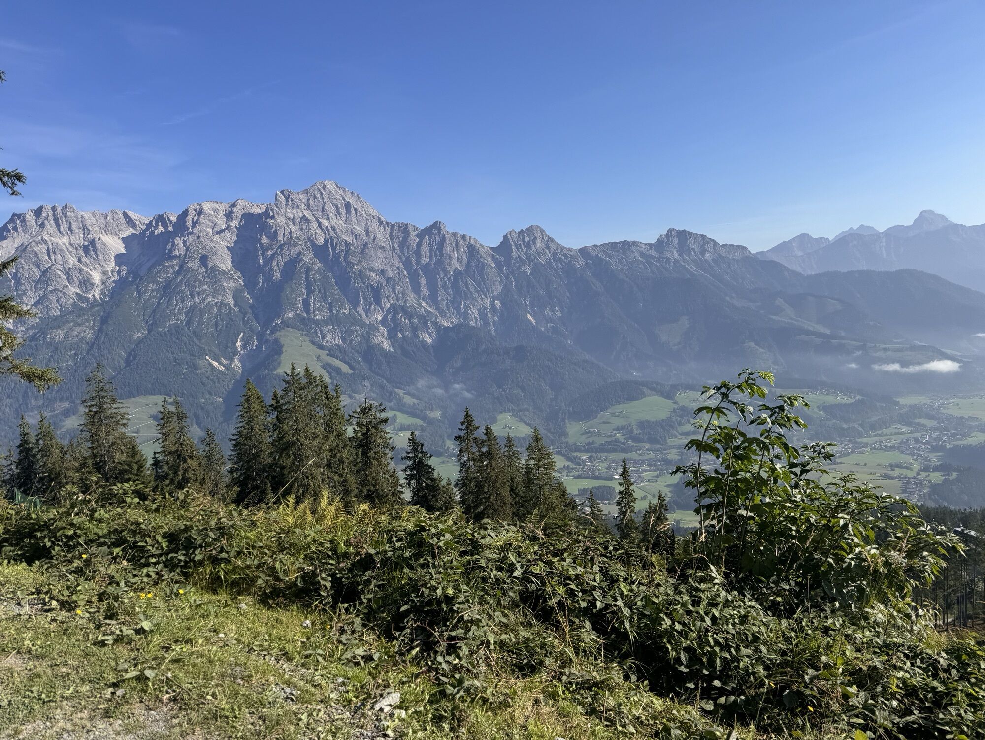
Steinberg Ski Touring Route


The ski touring route (next to the Steinberg slopes 211+212) is open during the day (when the slopes are open). The ski touring evening ends on 25.03.2025 (Tue).
Ski touring is only possible in the area...
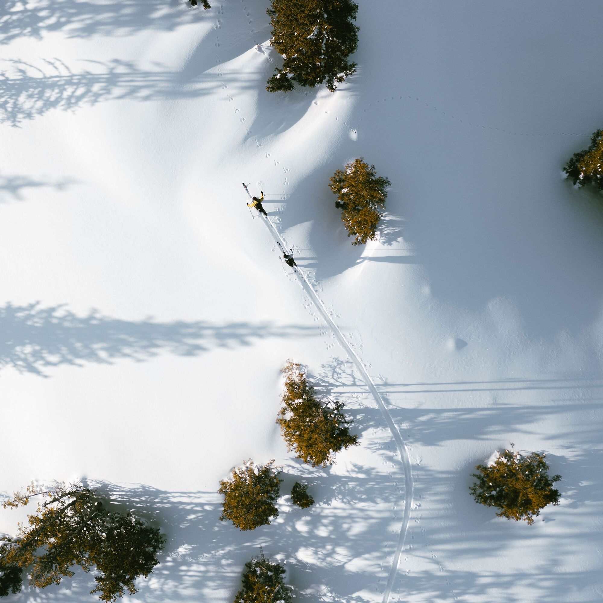
Ski touring is only possible in the area of the Steinberg slope (along 211+212 off-piste).
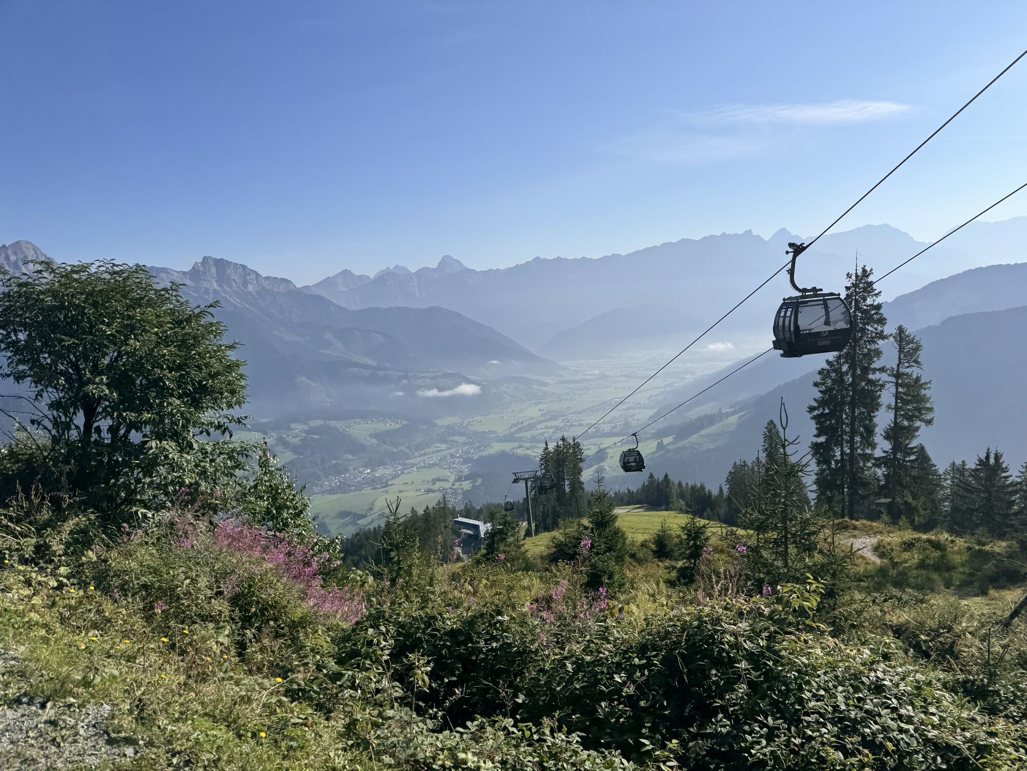
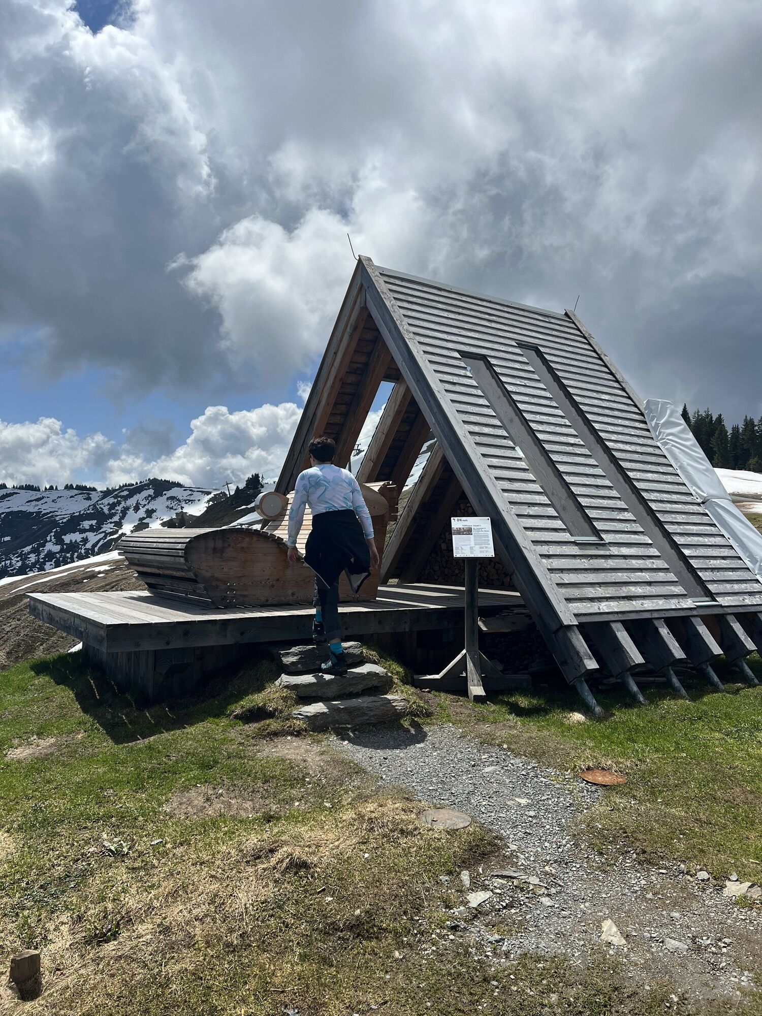
The route from the Steinbergbahn bottom lift station (812 m) mainly follows secured pistes up to the Asitzbahn top lift station (1759 m); height difference: 947 vertical metres. Difficulty: moderate Ascent From the Steinbergbahn car park, head up towards the Kraller Alm on the right-hand side of the piste to start with. From here, follow the ski tour signs away from the edge of pistes 211 and 212 until you get the top lift station.
Please only crossed the piste at designated places. Choose your route up away from the piste, and always on the marked side. Descent Follow pistes 212 and 211 into the valley. This tour is open to ski tourers daily within the opening times of the pistes, and every Tuesday and Friday from 18:00 to 22:00.
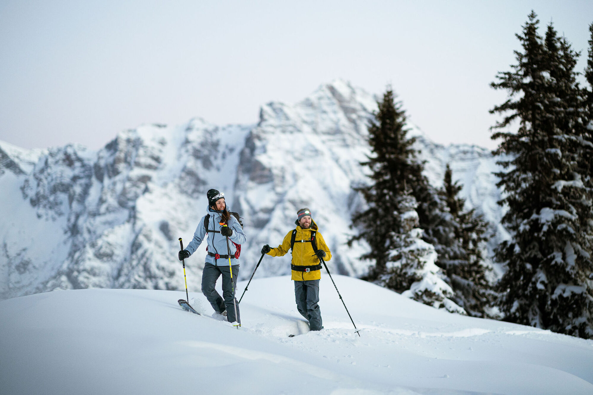
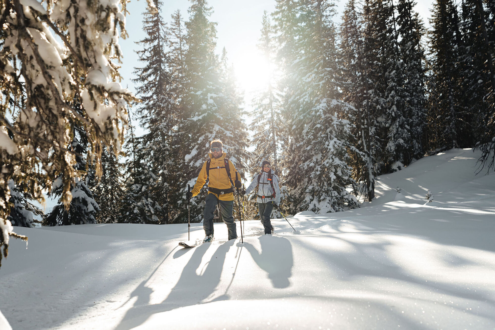
From the Steinbergbahn car park, head up towards the Kraller Alm on the right-hand side of the piste to start with. From here, follow the ski tour signs away from the edge of pistes 211 and 212 until you get the top lift station.
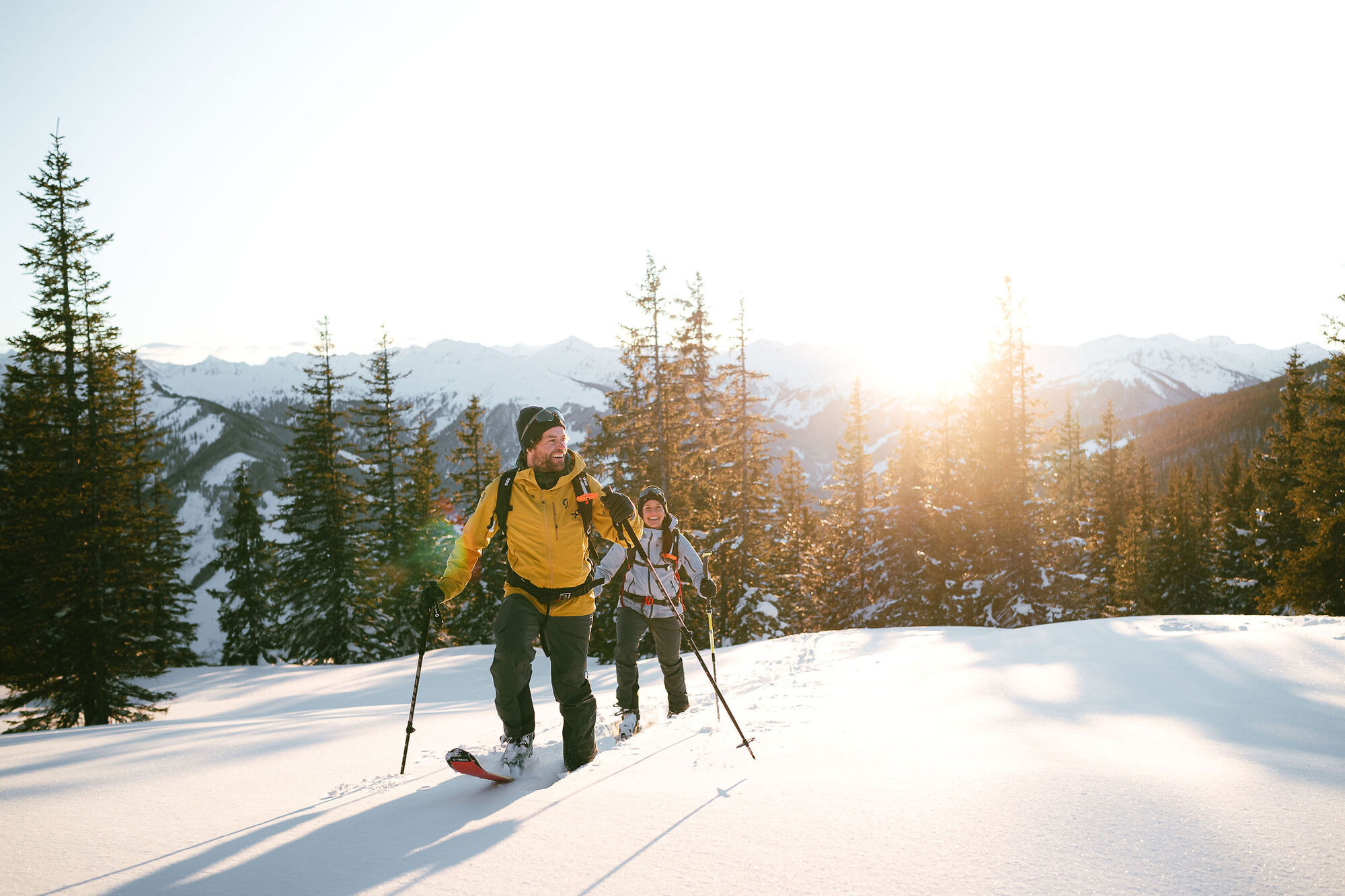
Grundausrüstung für Skitouren
Skihelm Sportbrille Sonnenbrille 2 paar Handschuhe: leicht, atmungsaktiv und winddicht für den Anstieg, normale Skihandschuhe zur Abfahrt Halstuch Kopfbedeckung (unter dem Helm) mit Feuchtigkeitstransport Kleidung im Mehrschicht-Prinzip mit Feuchtigkeitstransport Leichte wasser- und winddichte Skijacke Zusätzliche warme Jacke Lange, warme technische Socken (ggf. Einlagen) und Wechselpaar Leichte wasser- und winddichte Skitourenhose 20-28 Liter (Touren-)Rucksack Lippenpflege (LSF 30+) Ausreichend Proviant und Trinkwasser Erste-Hilfe-Set mit Blasenpflaster Blasenpflaster Biwaksack/Survival Bag Rettungsdecke Stirnlampe Taschenmesser Signalpfeife Mobiltelefon Bargeld Navigationsgerät/Karte und Kompass Notfallkontaktdaten Personalausweis
Technisches Equipment
Tourenskischuhe Tourenbindung passend zum Skischuh Felle passend zum Tourenski Ski (Teleskop-)Skistöcke Lawinenausrüstung: LVS-Gerät, Lawinensonde, Lawinenschaufel Harscheisen Rettungsausrüstung für die Gletscherspaltenbergung Hochtourengurt Leichter Eispickel Hochtouren-geeignetes Seil Lawinenairbag-Rucksack
Toll free from Germany via A8 from Munich towards Salzburg1.) Freeway A8 to Rosenheim (Germany) - Freeway to Innsbruck (Austria) - Take the Oberaudorf exit towards Niederndorf - Walchsee - Kössen - Waidring - Fieberbrunn to Leogang, Hütten 39, 5771 Leogang2.) Freeway A8 to Rosenheim (Germany) and Salzburg (Austria) , Take the Siegsdorf exit towards Lofer and Saalfelden to Leogang, Hütten 39, 5771 Leogang
The starting point at the Steinberg valley station (Rain 132, 5771 Leogang) in Leogang can be reached by postbus 690. From the bus stop "Leogang Asitzbahnen" the starting point can be reached on foot.
There is a large car park at the Steinbergbahn valley station (Rain 132, 5771 Leogang). Parking is free of charge.
Ski touring is free of charge, but donations are very welcome towards “Loigom hoit zomm“ (Donation box at the ski touring information board).
Contact:
Leoganger Bergbahnen GmbH
Hütten 39, 5771 Leogang
+43 6583 8219
I tour più popolari nelle vicinanze
- 4,4
Riemannhaus
pesanteEscursionismo3,69 km - 4,5
Birnbachloch Leogang, Österreich
medioEscursionismo5,18 km - 4,3
rifugio Peter-Wiechenthaler
medioEscursionismo4,32 km - 4,1
Passauer Hütte
pesanteEscursionismo4,14 km - 3,9
Ferrata Persailhorn Sud
medioVia ferrata6,83 km - 4,9
Breithorn
medioEscursionismo10,0 km - 4,6
Steinalm
luceEscursionismo2,71 km - 4,4
Birnbachloch
medioEscursionismo6,40 km - 5,0
Leoganger SÜD
pesanteVia ferrata4,08 km - 5,0
Schönfeldspitze 12.08.2020
pesanteAlta via15,3 km
Escursioni e tracking


Non perdete le offerte e le ispirazioni per le vostre prossime vacanze
Il vostro indirizzo e-mail è stato aggiunto alla mailing list.