


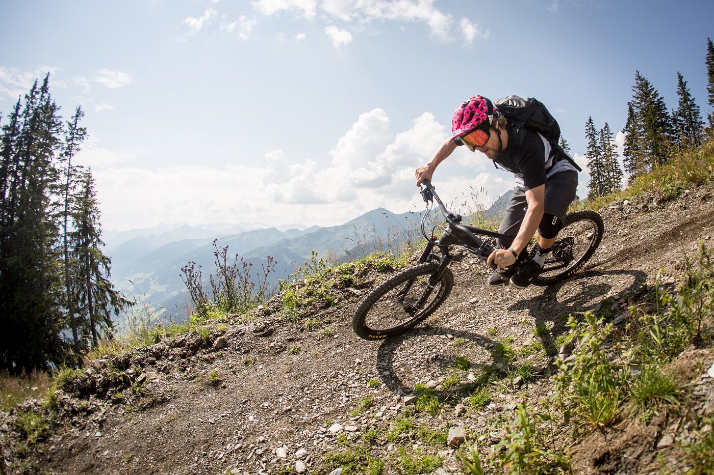
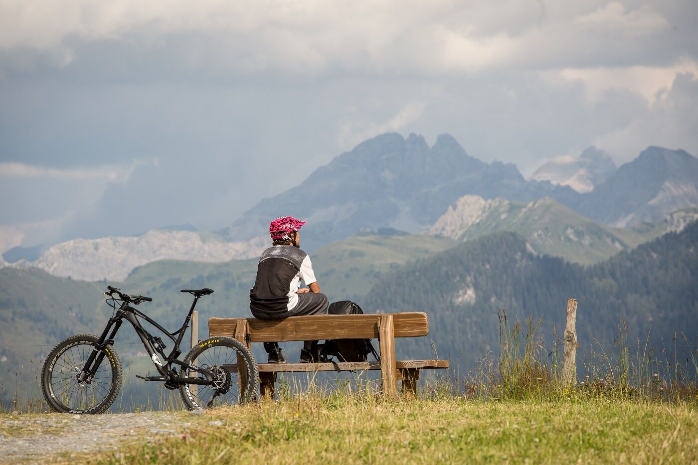
Single track Grossarltal


You can expect approx. 10 km and around 1,000 metres of pure biking experience. Shortly before the end of the single trail, you have the opportunity to clean your mountain bike at the bike wash.
Single...
You can expect approx. 10 km and around 1,000 metres of pure biking experience. Shortly before the end of the single trail, you have the opportunity to clean your mountain bike at the bike wash.
Single Trail Grossarltal - one experience, two variants:
Panorama Rausch: The trail offers a 7 km long descent on a single trail over approx. 575 metres in altitude from the Panoramabahn mountain station to the middle station of the Panoramabahn. You ‘rope up’ with the Grossarltal panorama lift.
Please note: Bikes weighing up to 22kg are only permitted here.
Waldgeflüster: The trail offers an approx. 3.3 km long descent on a single trail over an altitude difference of around 400 metres from the Kieserlbahn middle station to the Kieserlbahn valley station. Thanks to the new Kieserlbahn cable car, even e-bikes can enjoy this experience. The new cable car with large, spacious cabins can transport bikes weighing over 22 kg to the middle station.
Please note: From the middle station, it is no longer permitted to continue on the Kieserlbahn cable car with bikes!

Depending on which option you prefer, you can take the Panoramabahn or the Kieserlbahn cable car to the top.
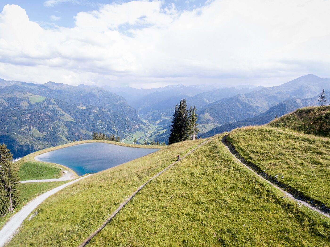
Panorama Rausch: Take the Panroama cable car up to the mountain station. From there, the trail takes you curve by curve to the middle station of the Panorama cable car. You can either continue on the Waldgeflüster trail or take one of the two gondola lifts back down to the valley.
Waldgeflüster: Take the Kieserlbahn to the middle station from where the flow trail fun starts through the forest to the valley station of the Kieserlbahn.
mountainbike in good working
hard trail or preferably fully
helmet
gloves
glasses
clothing suitable for the weather
something to drink
Take a leisurely ride on the panorama cable car Grossarltal to the mountain station, the starting point of the single trail. Attention: The ascent by bike is not permitted, there is a ban on mountain bikes on the entire path up to the starting point. Please note the opening hours.
Mountain railways parking space
On the way down, you will pass a waterfall. There is a selfie photo point there - ideal for capturing the experience on a picture.
Webcam del tour
-
Kreuzkogel
-
Fulseck
-
Hotel Lammwirt im Großarltal/Ellmautal
-
Dorfgastein - Spiegelsee
-
Bergstation 6er Sesselbahn Harbach
-
Gästehaus Hagenhofer - Dorfgastein
-
Ellmautal - Palfenhof
-
Kühhagerbahn Bergstation
-
Großarl - Vitalhotel Tauernhof
-
Dorfgastein - Spiegelsee
-
Dorfgastein - Spiegelsee
-
Dorfgastein - Spiegelsee
-
Dorfgastein - Spiegelsee
-
Großarl - Kieserlbahn
-
Grossarl - Hotel Gasthof Schützenhof
-
Großarl - Hotel Kristall Übungslift
-
Bergstation Kieserl
-
Fulseck
-
Großarl
I tour più popolari nelle vicinanze
-
4,7
Bahnhof Bad Hofgastein nach Bahnhof Bad Gastein
medioEscursionismo 13,0 km -
5,0
Türchlwand von der Bergstation Schlossalmbahn Bad Hofgastein, Österreich
medioEscursioni in montagna 7,05 km -
4,2
Ennskraxn (2410m)
pesanteEscursionismo 14,7 km -
4,6
Gasteiner Höhenweg von Bad Gastein nach Bad Hofgastein
luceEscursionismo 8,58 km -
4,8
Hüttenkogel - Graukogel von der Bergstation
medioEscursioni in montagna 4,68 km -
4,7
Gasteiner Höhenweg (Schlechtwettervariante)
luceEscursionismo 9,50 km -
4,2
Großarl: Unterwandalm - Karseggalm - Breitenebenalm
medioEscursionismo 5,93 km -
4,6
Escursione dal Kötschachtal al gioiello naturale Reedsee
medioEscursionismo 12,5 km -
4,4
Wasserfall Bad Hofgastein
luceEscursionismo 3,89 km -
4,8
Großarl: Mooslehenalm – Niggeltalalm – Viehhausalm
medioEscursionismo 5,44 km
Escursioni e tracking


Non perdete le offerte e le ispirazioni per le vostre prossime vacanze
Il vostro indirizzo e-mail è stato aggiunto alla mailing list.