


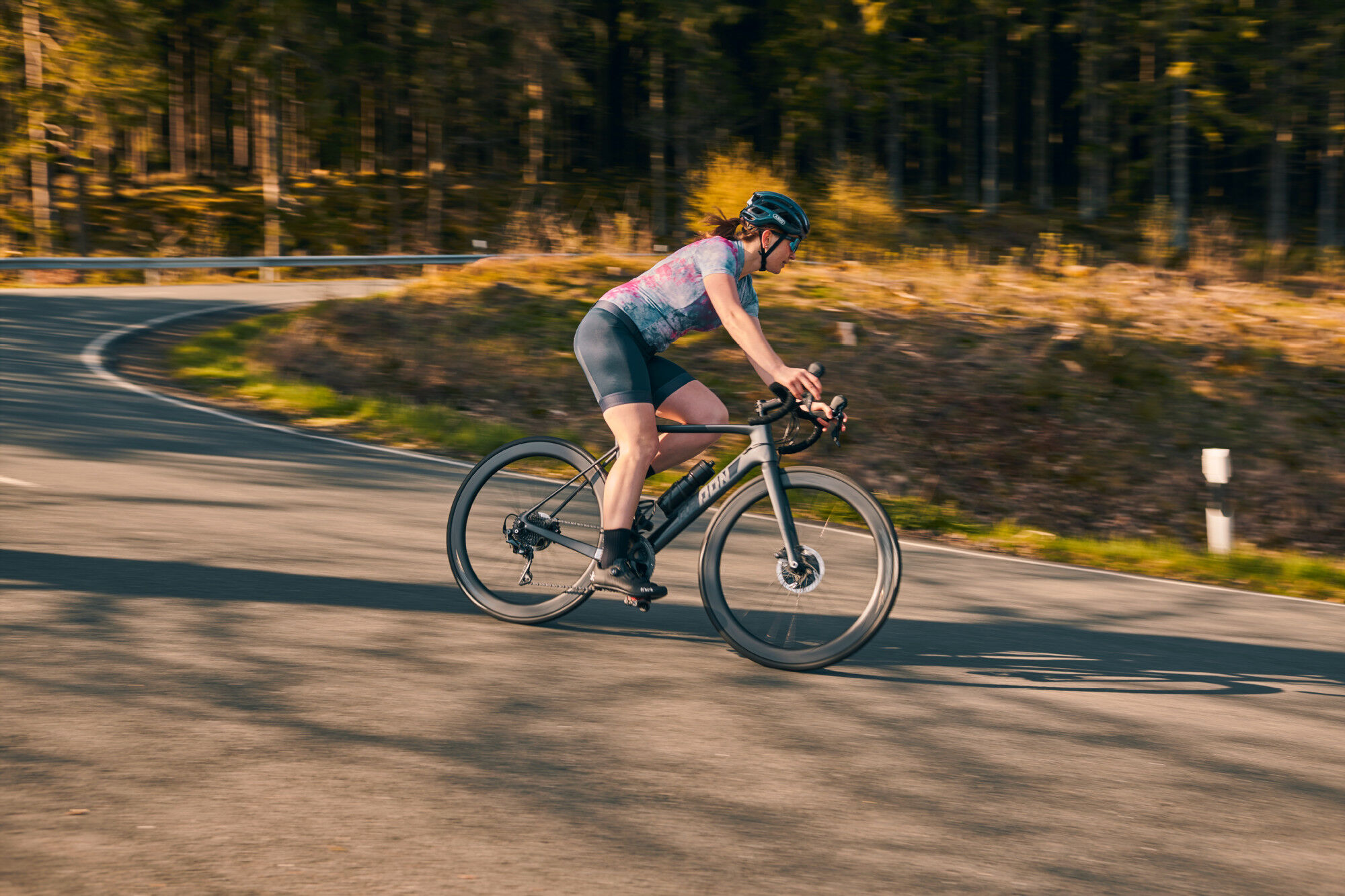
Rennrad - Faulebutter aus Finnentrop
Livello di difficoltà: 4


Vorbei an Faulebutter und Röhrenspring geht es an das Ufer des schönen Sorpesees. Ein Abstecher führt uns nach Hemer bei Iserlohn im nördlichen Sauerland. Nach einigen weiteren Steigungen erreichen wir...
Vorbei an Faulebutter und Röhrenspring geht es an das Ufer des schönen Sorpesees. Ein Abstecher führt uns nach Hemer bei Iserlohn im nördlichen Sauerland. Nach einigen weiteren Steigungen erreichen wir das Lennetal bei Plettenberg, um dieses noch einmal für zwei weitere Berge zu verlassen. Schließlich erreichen wir nach einer rasenden Abfahrt in das Tal der Bigge den Ort Heggen und dann Finnentrop an der Lenne.

Finnentrop - Schönholthausen - Endorf - Stockum - Amecke - Tiefenhagen - Enkhausen - Holzen - org - Amecke - Deilinghofen - Stephanopel - Garbeck - Küntrop - Affeln - Eiringhausen - Plettenberg - Heggen - Finnentrop
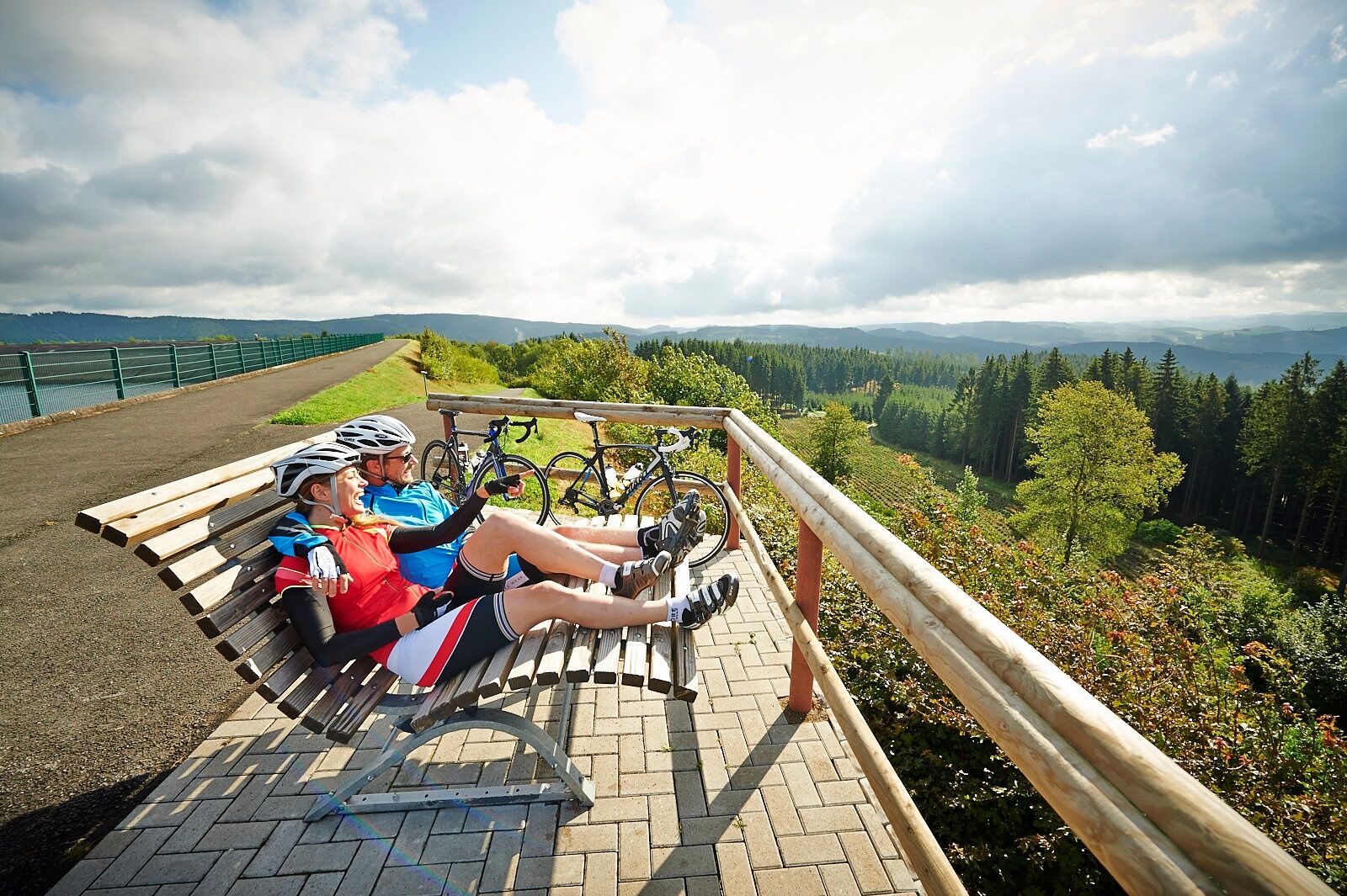
Das Tragen eines Fahrradhelmes sollte für alle Radfahrenden selbstverständlich sein. Prüfen Sie vor der Fahrt, dass Ihr Bike in einem einwandfreien Zustand ist. Für anspruchsvolle Touren empfehlen wir, reichlich Getränke und Snacks einzupacken.
In der gesamten Region (Kreis Soest, Hochsauerlandkreis, Märkischer Kreis, Kreis Olpe und Kreis Siegen-Wittgenstein) ist ein Rettungspunktsystem installiert. Rettungspunkte finden Sie unter anderem auf den Informationstafeln der Knotenpunkte des Radnetzes Südwestfalen.
4
I tour più popolari nelle vicinanze
- 3,5
Il sentiero Fickeltünnes - escursione sul percorso storico intorno ad Allendorf
medioSentiero tematico14,3 km Percorso ad anello a Langscheid "Percorso dei castelli"
medioEscursionismo14,2 kmRundwanderweg Linnepe
medioEscursionismo8,36 kmPercorso ad anello Amecke
luceEscursionismo9,22 kmPlettenberg: History Route XL
medioBicicletta40,3 kmSauerland-Höhenflug: da Wildewiese a Wenholthausen
medioEscursionismo18,4 kmPlettenberg: percorso Stadt-Land-Fluss
pesanteBicicletta62,9 kmPercorso di gelaterie e caffè Plettenberg-Herscheid con diga di Oestertal
medioBicicletta31,8 kmPlettenberg: percorso storico XS
luceBicicletta9,07 kmSauerländer Siebengebirge (SR3)
medioBicicletta32,2 km

Escursioni e tracking


Non perdete le offerte e le ispirazioni per le vostre prossime vacanze
Il vostro indirizzo e-mail è stato aggiunto alla mailing list.