


Losenheim-Schneeberg-Payerbach Krummbachsattel, Niederösterreich/Österreich


Foto dei nostri utenti
 © webrchCreato il 06.06.2025
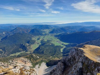
 © S.KCreato il 23.10.2022
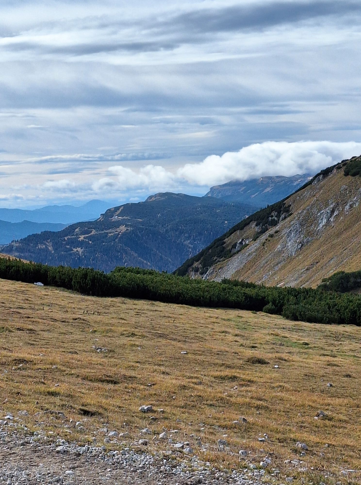
 © Romain SzemaiteCreato il 02.11.2025
 © Romain SzemaiteCreato il 02.11.2025
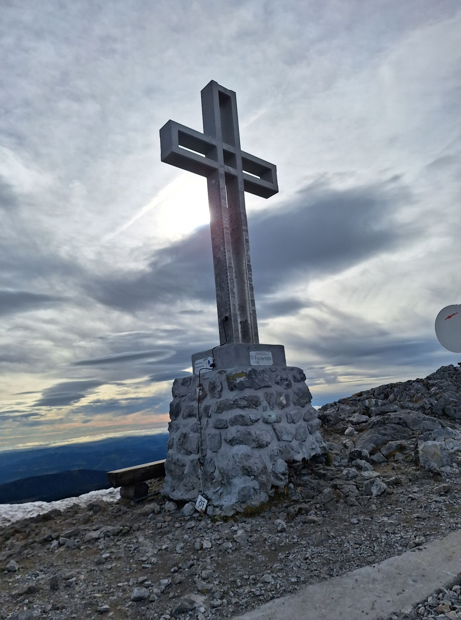
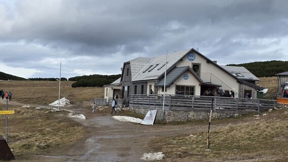 © Romain SzemaiteCreato il 02.11.2025
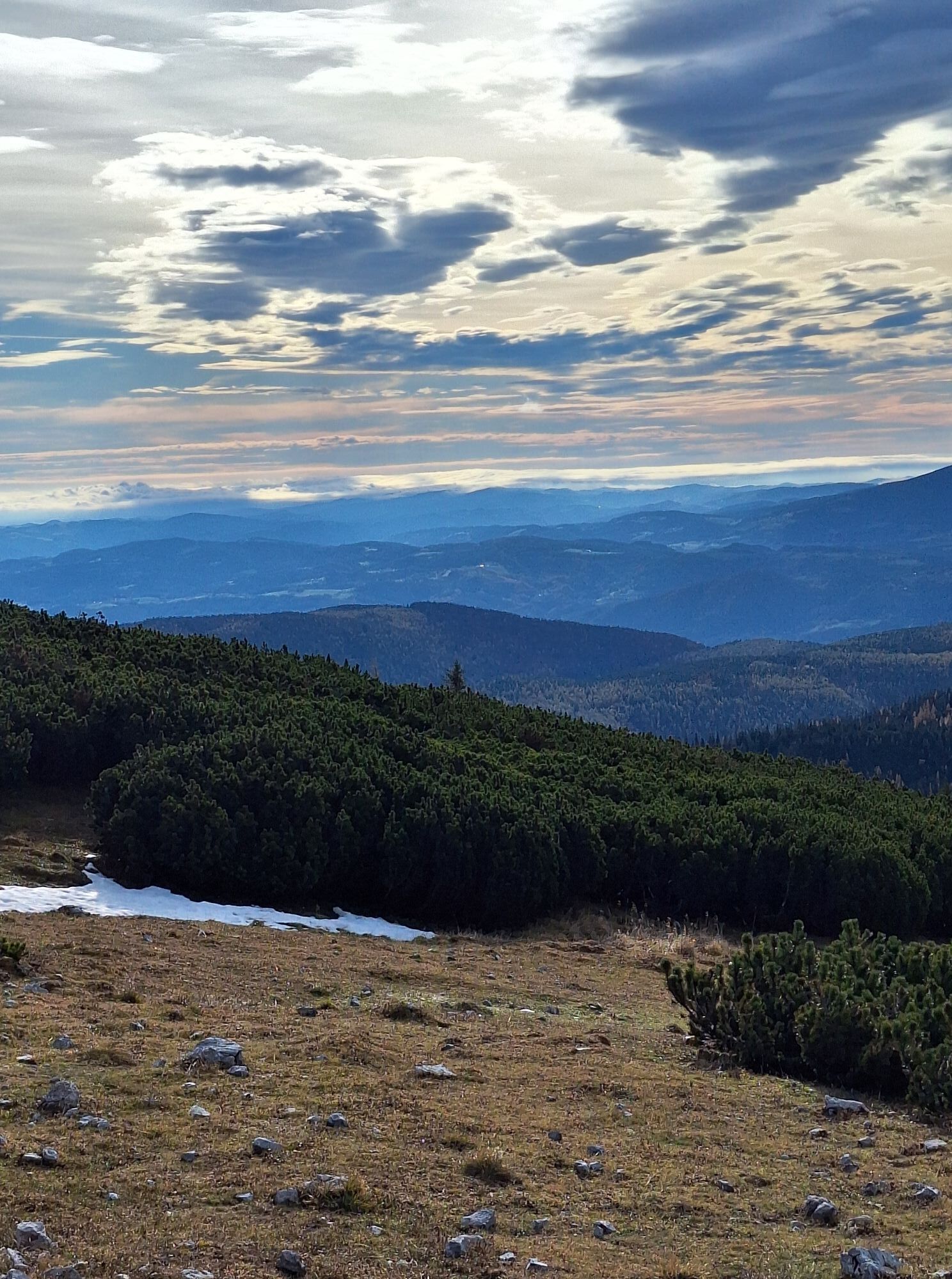
 © Romain SzemaiteCreato il 02.11.2025
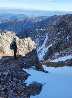
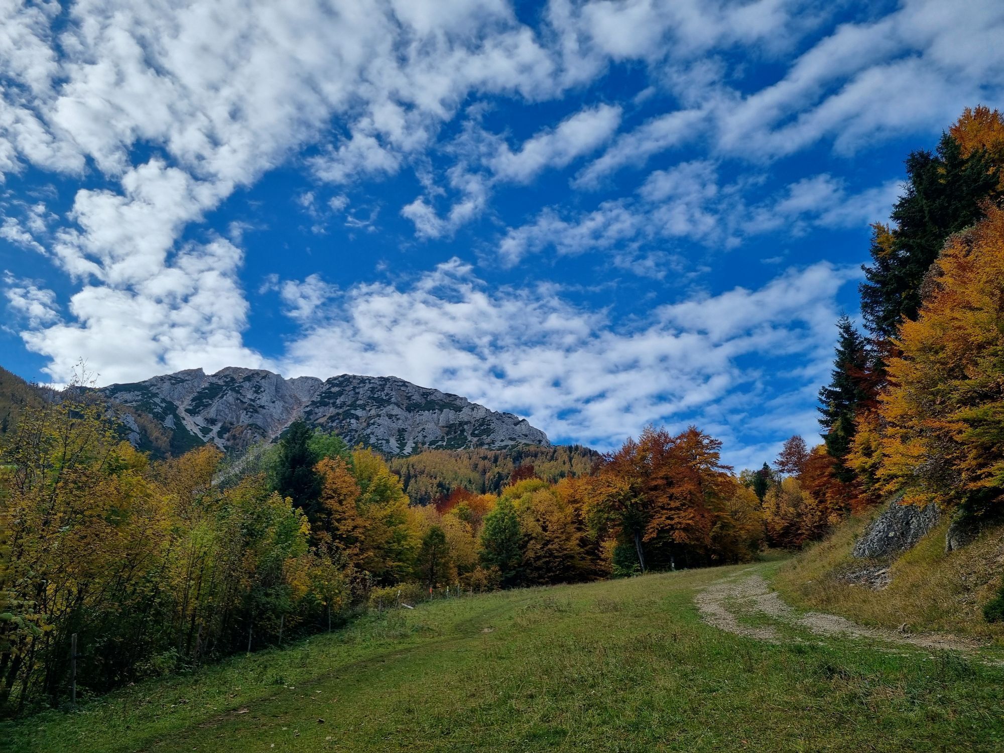
 © ?bio.hofCreato il 31.10.2025
 © ?bio.hofCreato il 31.10.2025
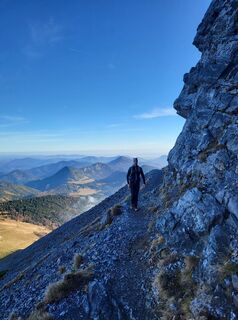 © ?bio.hofCreato il 31.10.2025
 © ?bio.hofCreato il 31.10.2025
 © Artiom K.Creato il 26.10.2025
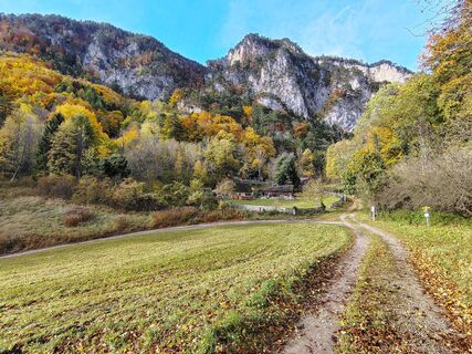
 © Levente SzikoraCreato il 26.10.2025
 © Levente SzikoraCreato il 26.10.2025
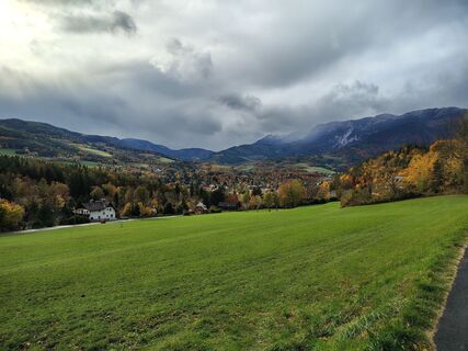 © Levente SzikoraCreato il 26.10.2025
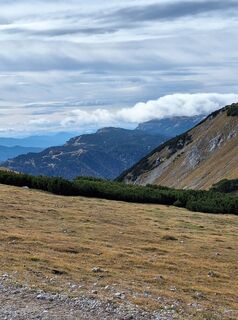 © MimiCreato il 23.10.2025
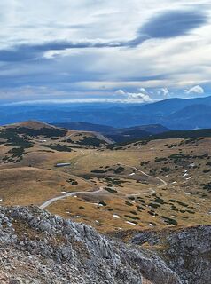 © MimiCreato il 23.10.2025
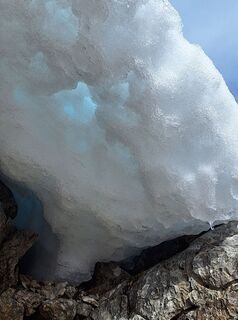 © MimiCreato il 23.10.2025
 © MimiCreato il 23.10.2025
 © MimiCreato il 23.10.2025
 © MimiCreato il 23.10.2025
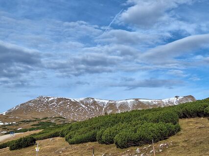 © MimiCreato il 23.10.2025
 © Marie HaratherCreato il 22.10.2025
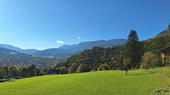
 © Regina FleischmannCreato il 12.10.2025
 © Regina FleischmannCreato il 12.10.2025
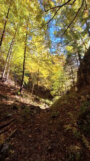 © Regina FleischmannCreato il 12.10.2025
 © Regina FleischmannCreato il 12.10.2025
 © Regina FleischmannCreato il 12.10.2025
 © Regina FleischmannCreato il 12.10.2025
 © Regina FleischmannCreato il 12.10.2025
 © Regina FleischmannCreato il 12.10.2025
 © Regina FleischmannCreato il 12.10.2025
 © Regina FleischmannCreato il 12.10.2025
 © Regina FleischmannCreato il 12.10.2025
 © GerhardAhoCreato il 12.10.2025
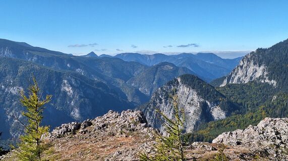 © Regina FleischmannCreato il 12.10.2025
 © GerhardAhoCreato il 12.10.2025
 © GerhardAhoCreato il 12.10.2025
 © GerhardAhoCreato il 12.10.2025
 © GerhardAhoCreato il 12.10.2025
 © GerhardAhoCreato il 12.10.2025
 © GerhardAhoCreato il 12.10.2025
 © GerhardAhoCreato il 12.10.2025
 © GerhardAhoCreato il 12.10.2025
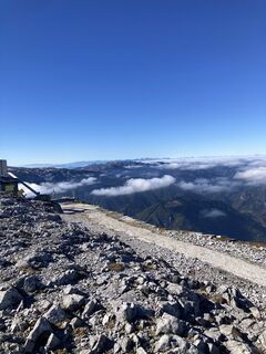
 © AteszchefCreato il 12.10.2025
 © AteszchefCreato il 12.10.2025
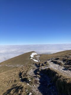 © AteszchefCreato il 12.10.2025
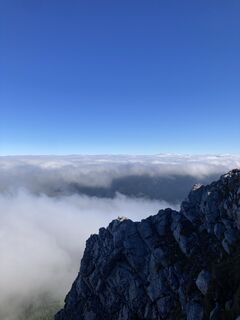 © AteszchefCreato il 12.10.2025
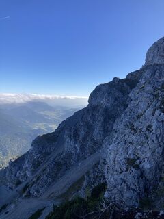 © AteszchefCreato il 12.10.2025


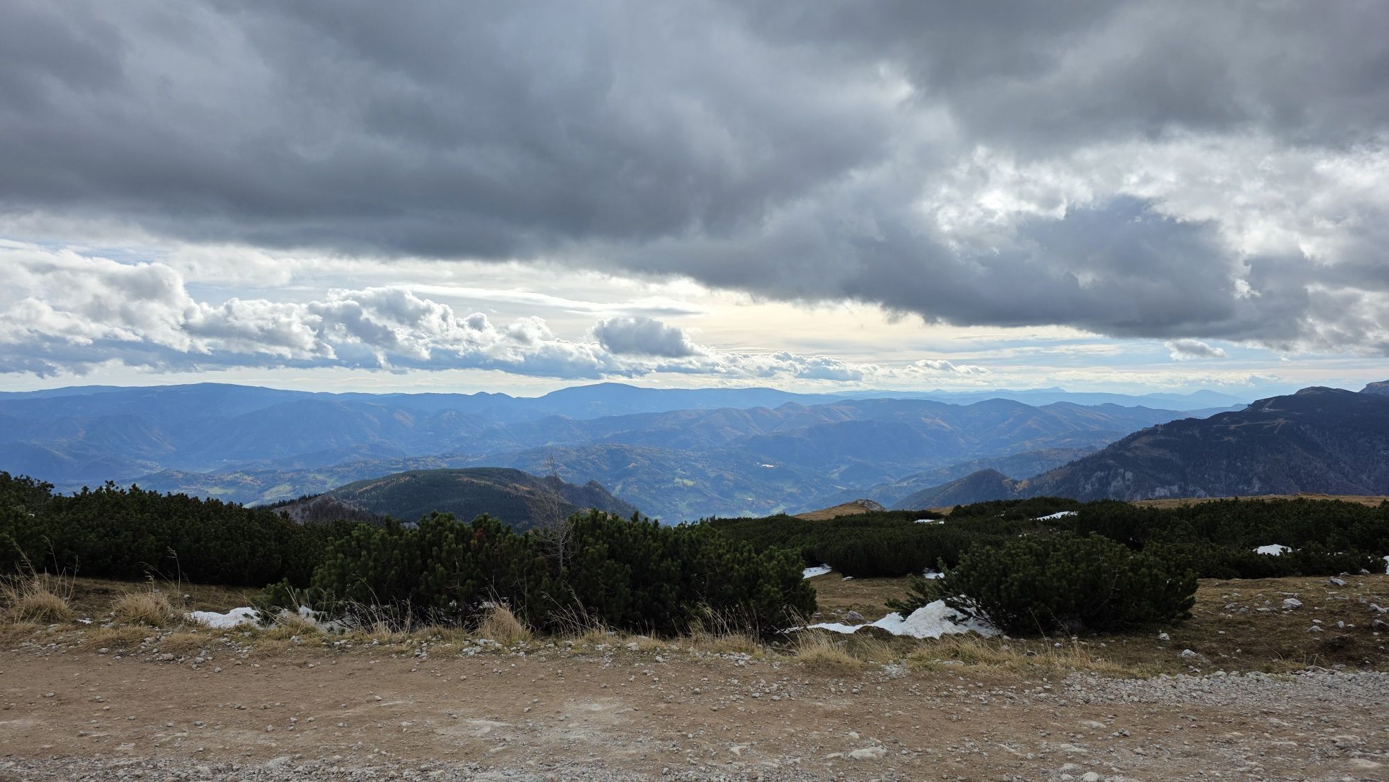
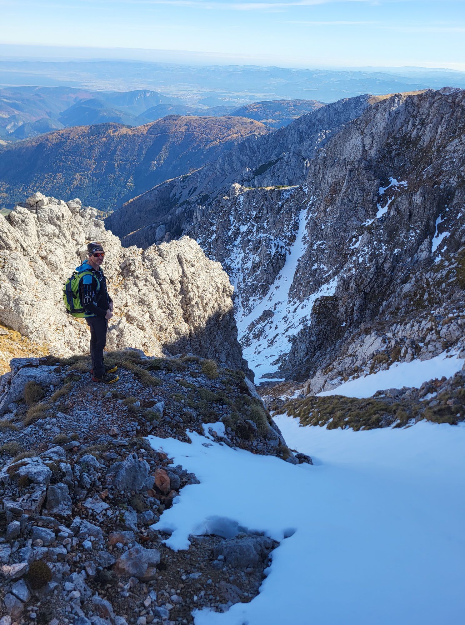
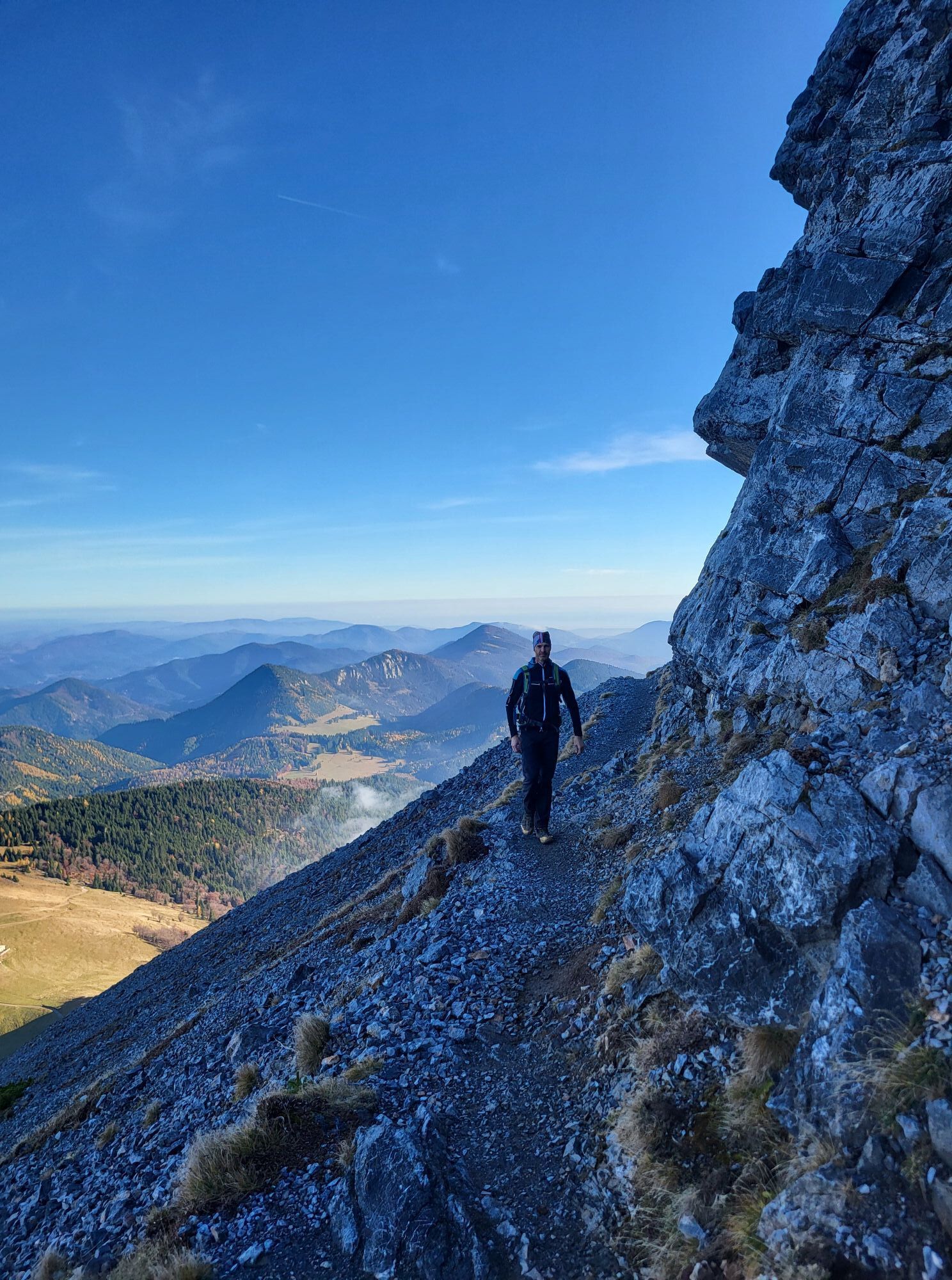


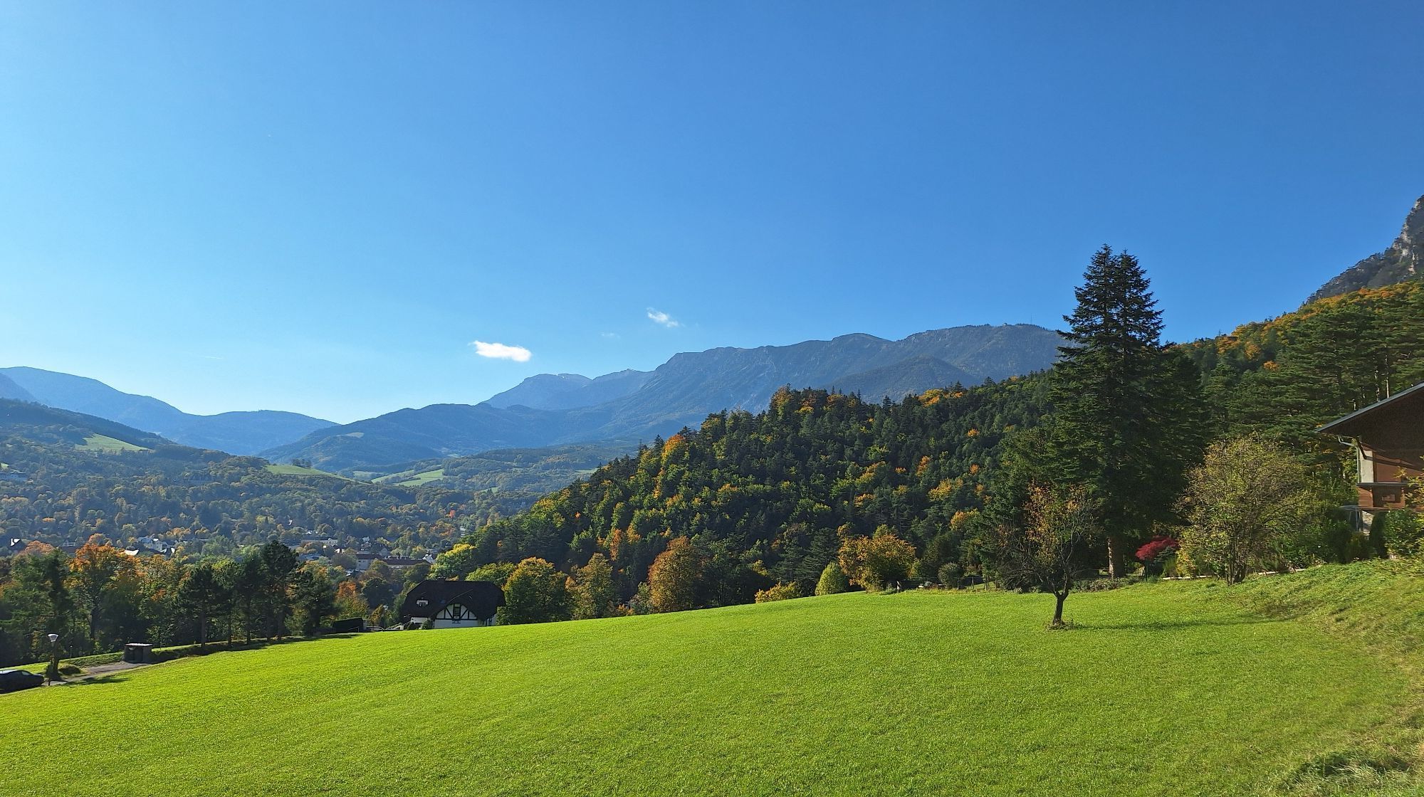
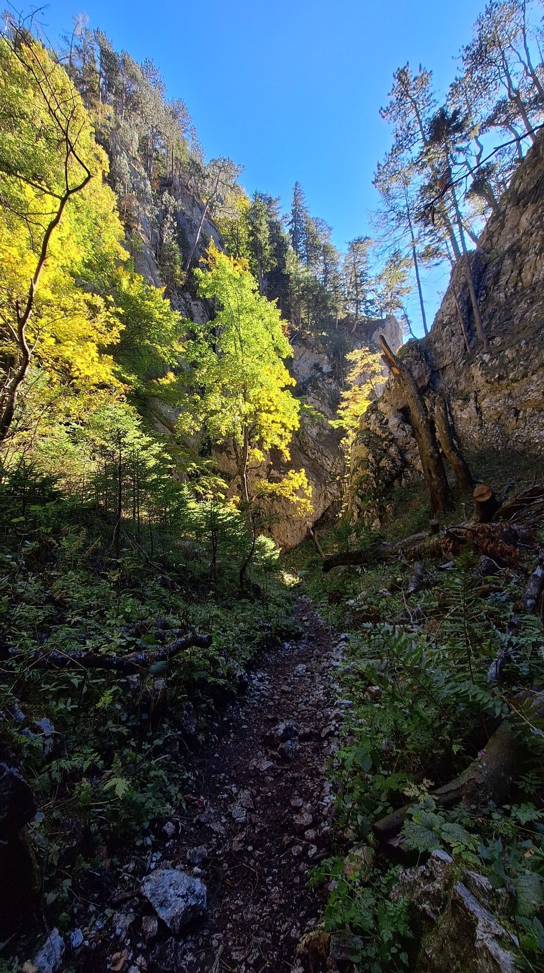
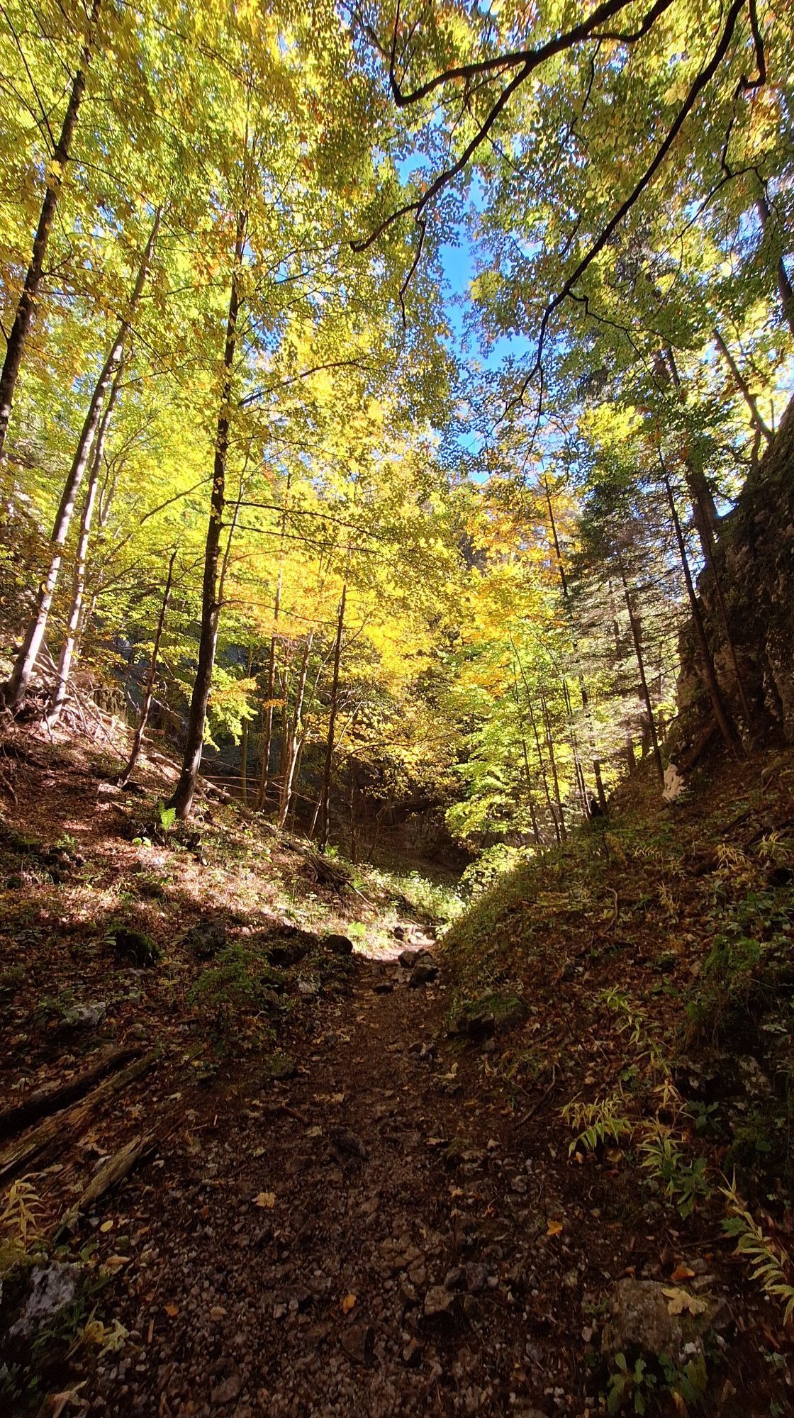
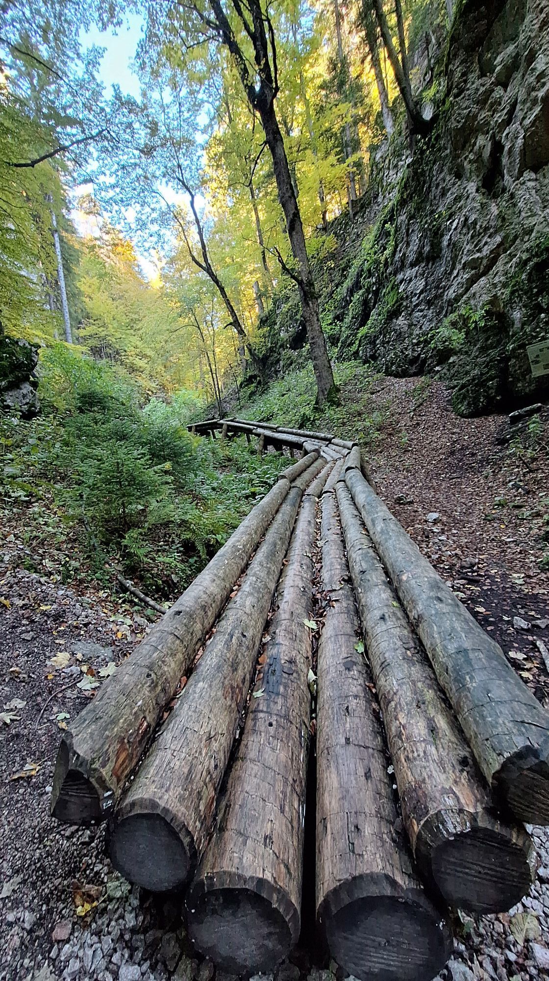


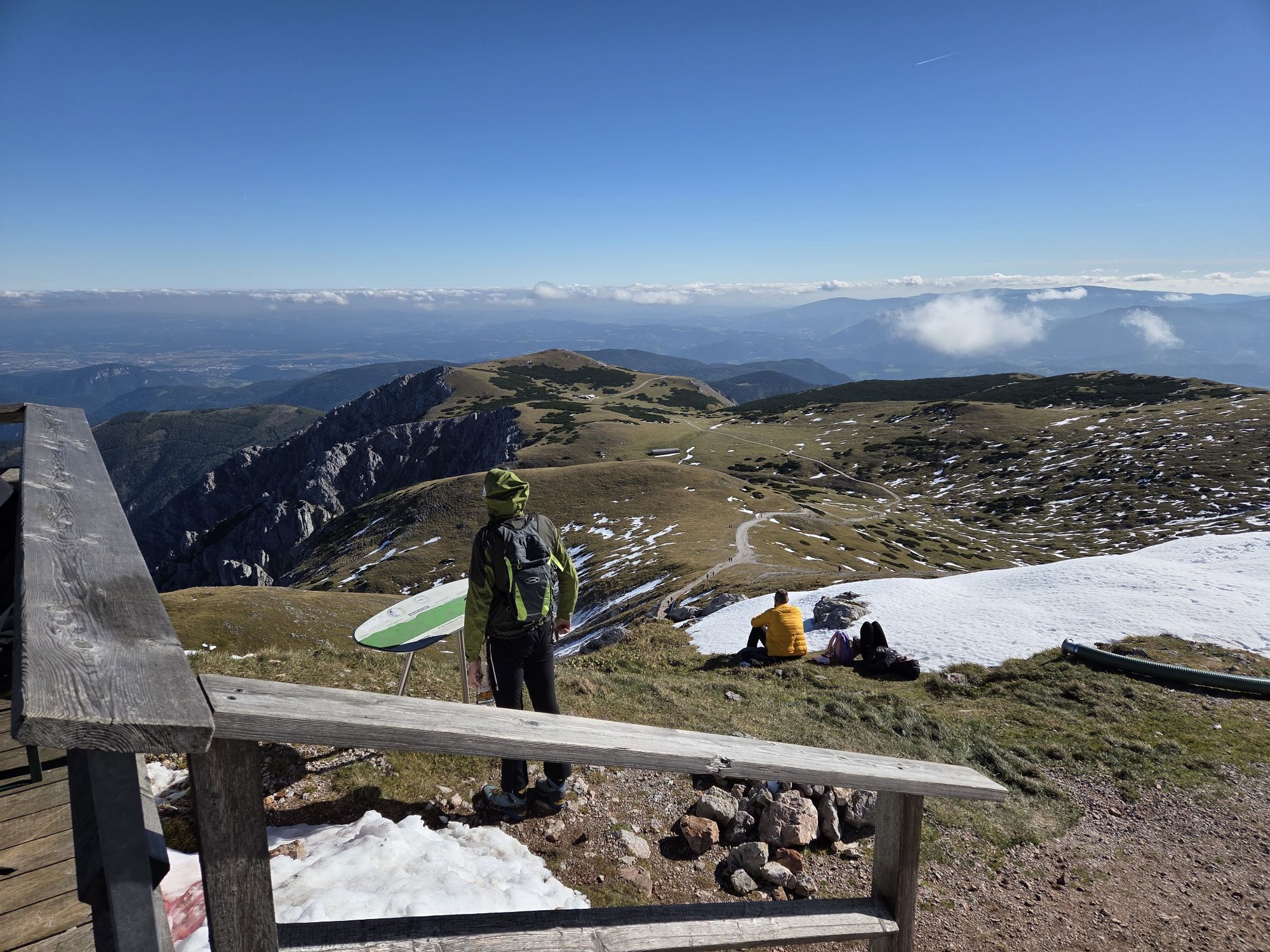

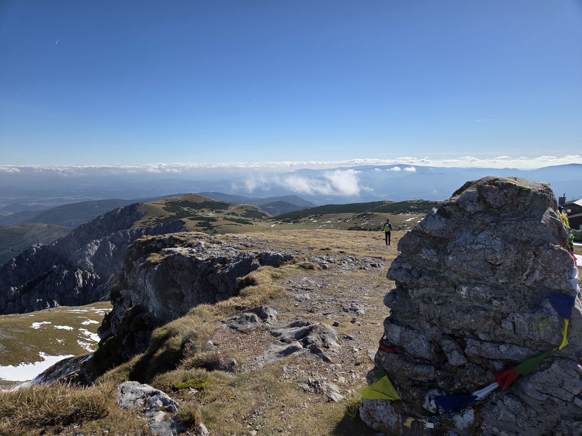
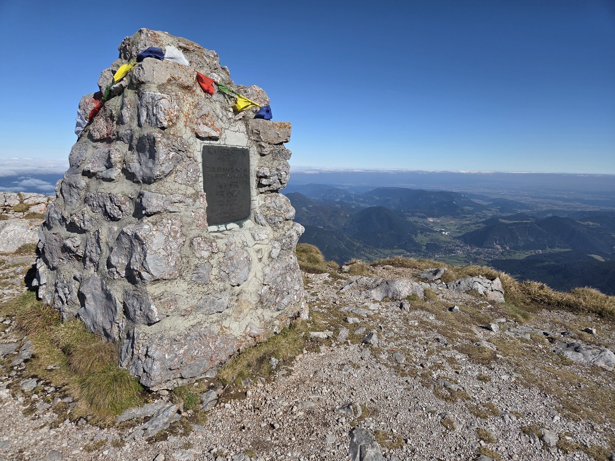


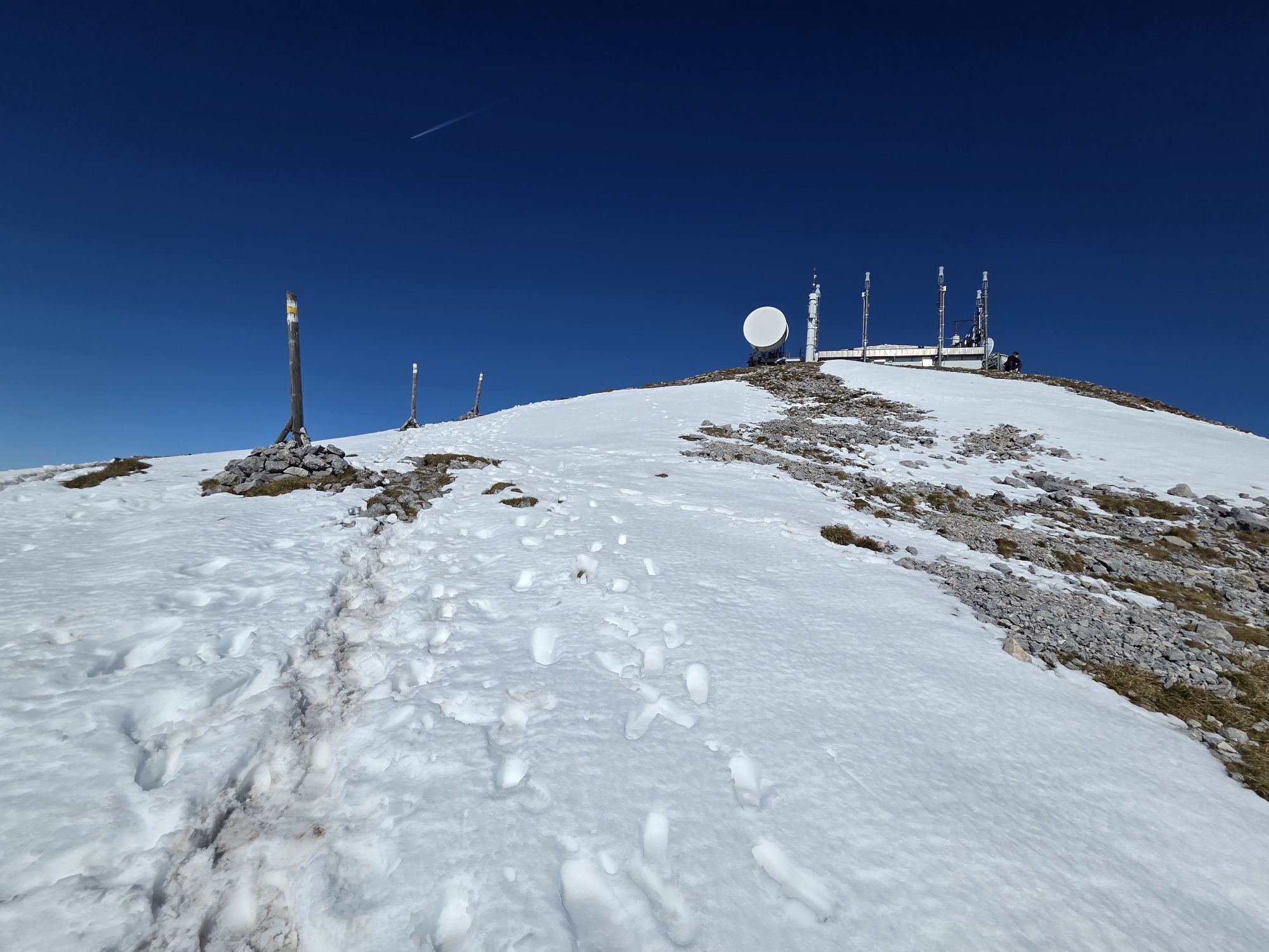
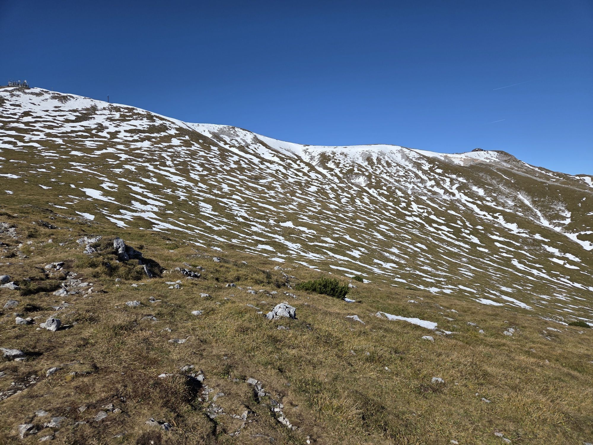

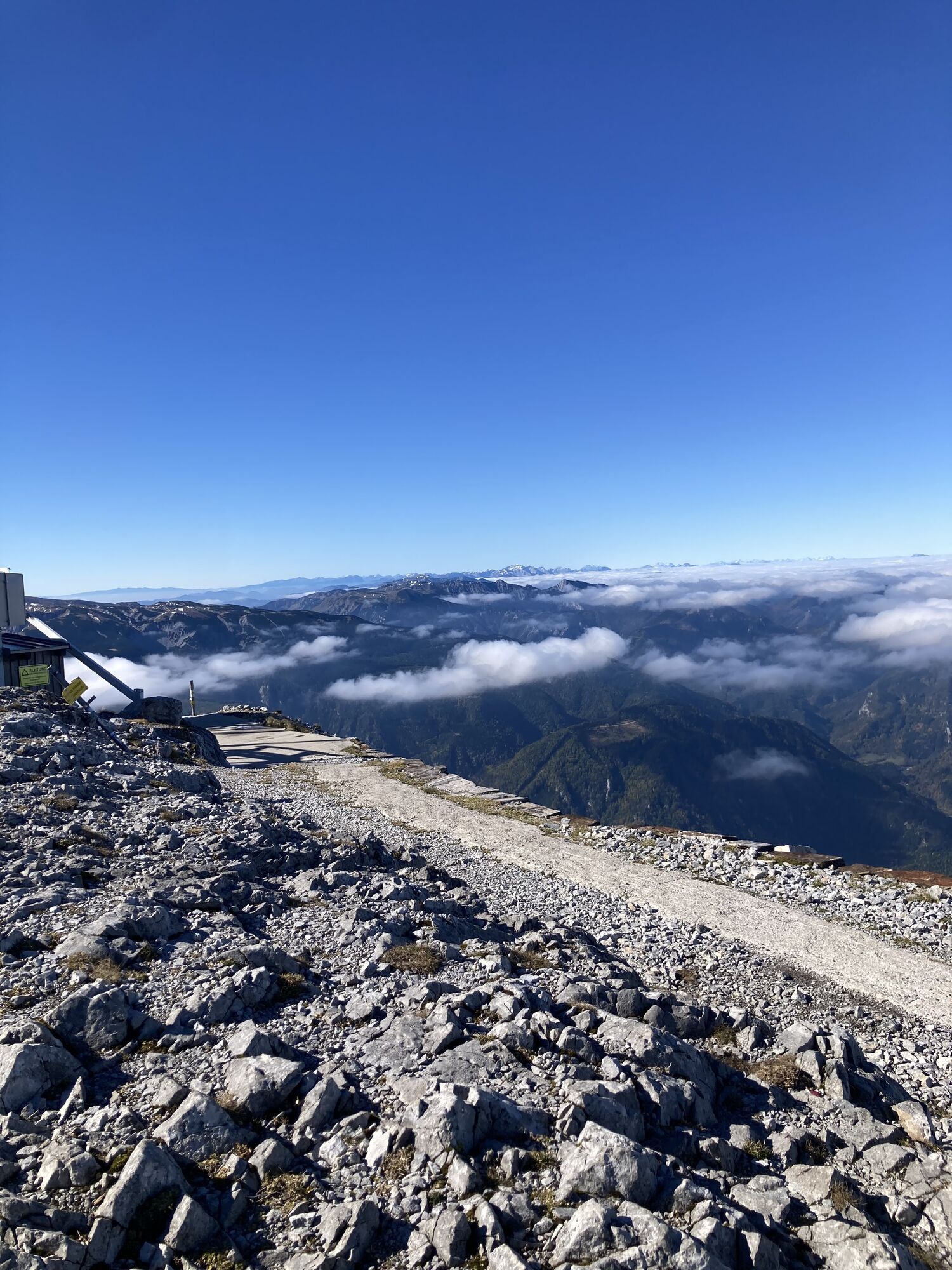
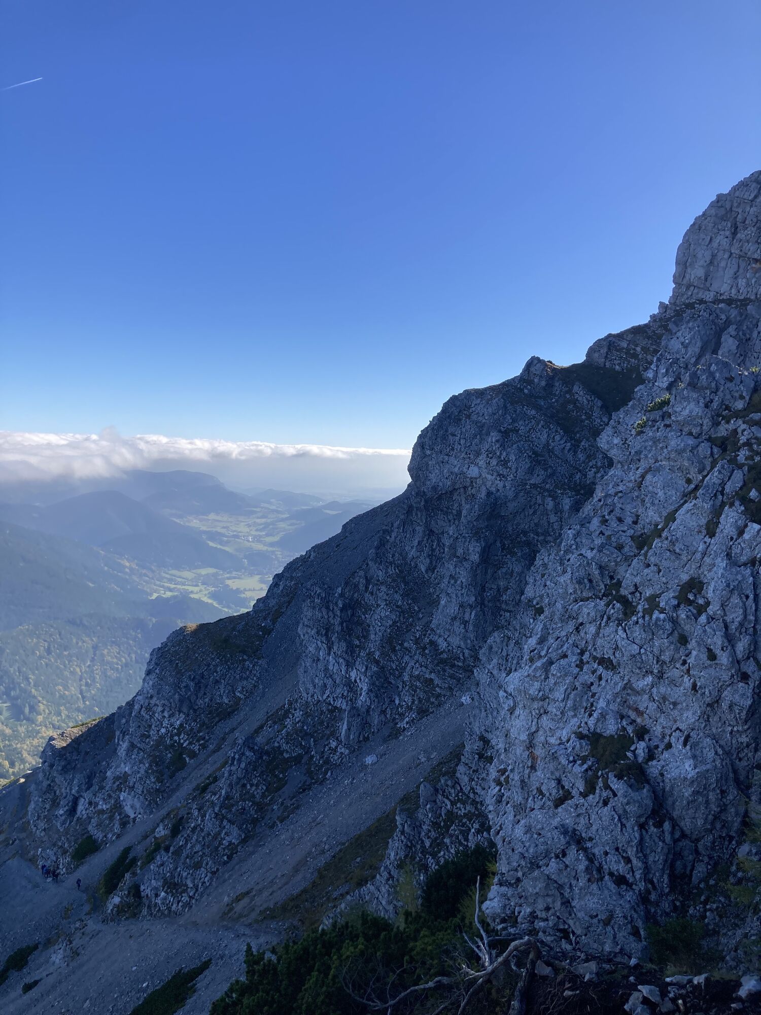
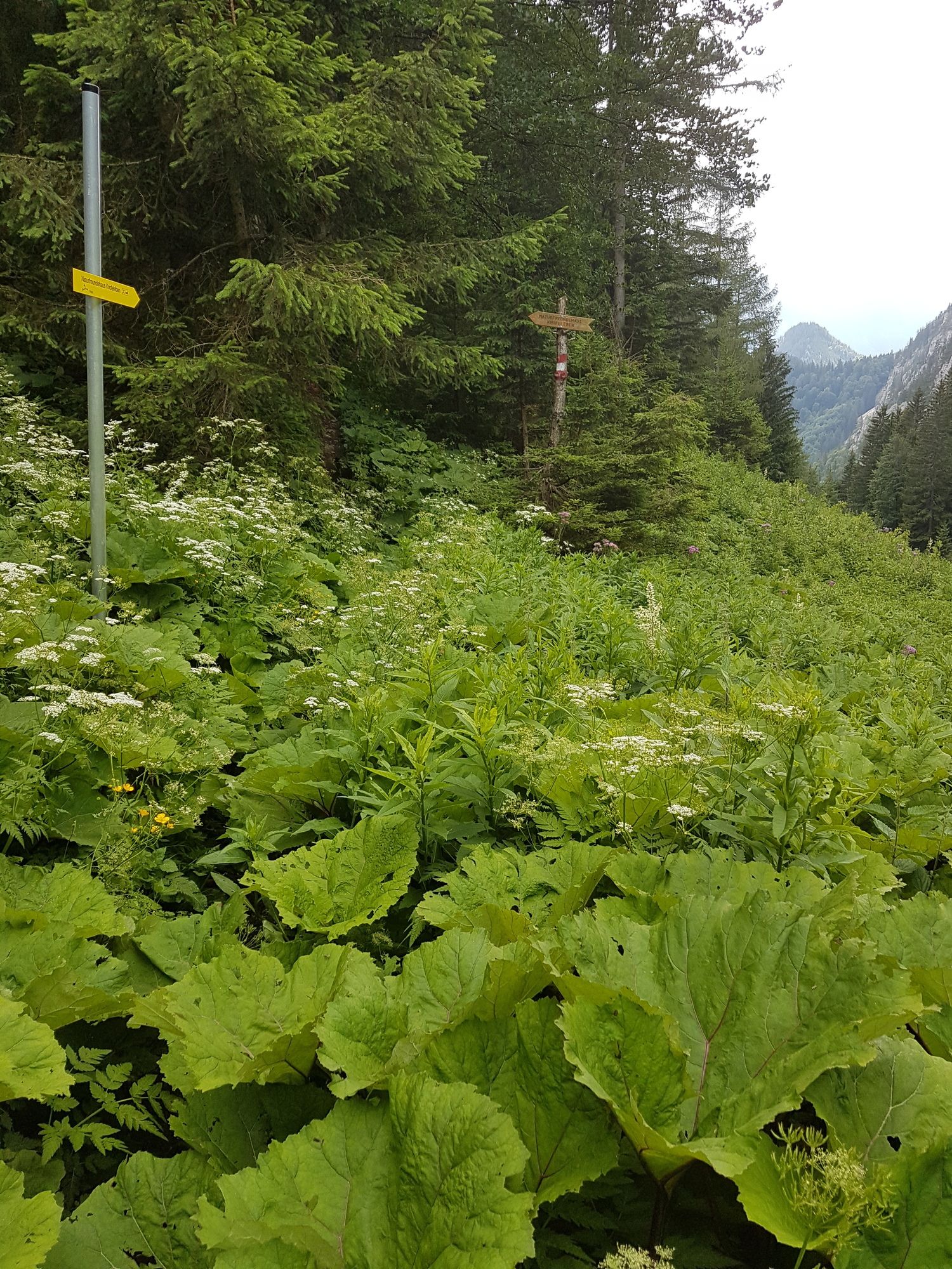
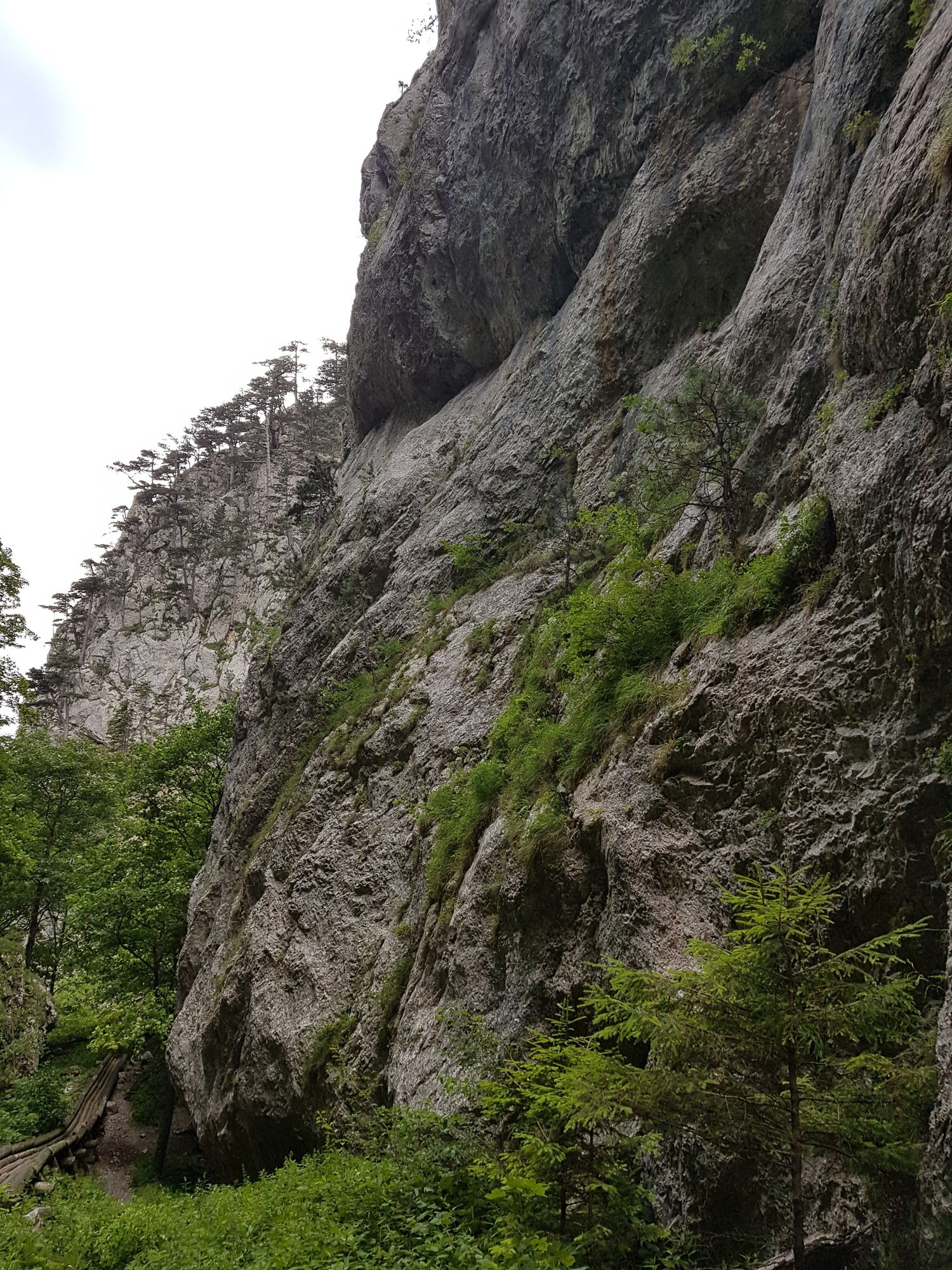
Start from Losenheim Sesselbahn Talstation. Hike up till Edelweisshütte, that is at the top of the Sesselbahn. Then go further on the Fadensteig towards Fischerhütte. Here some sections are exposed, this...
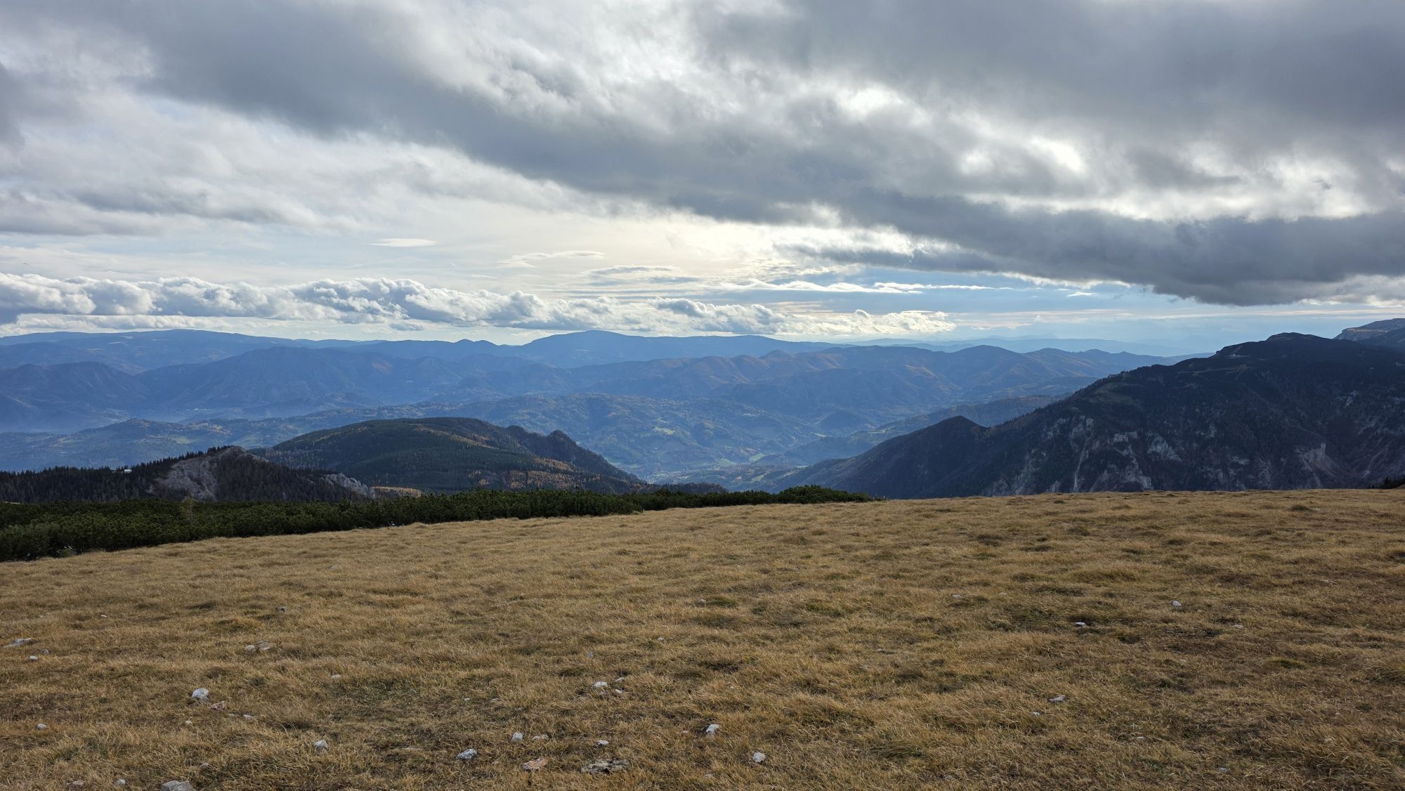
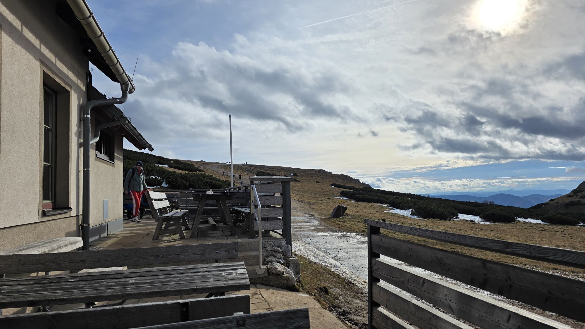
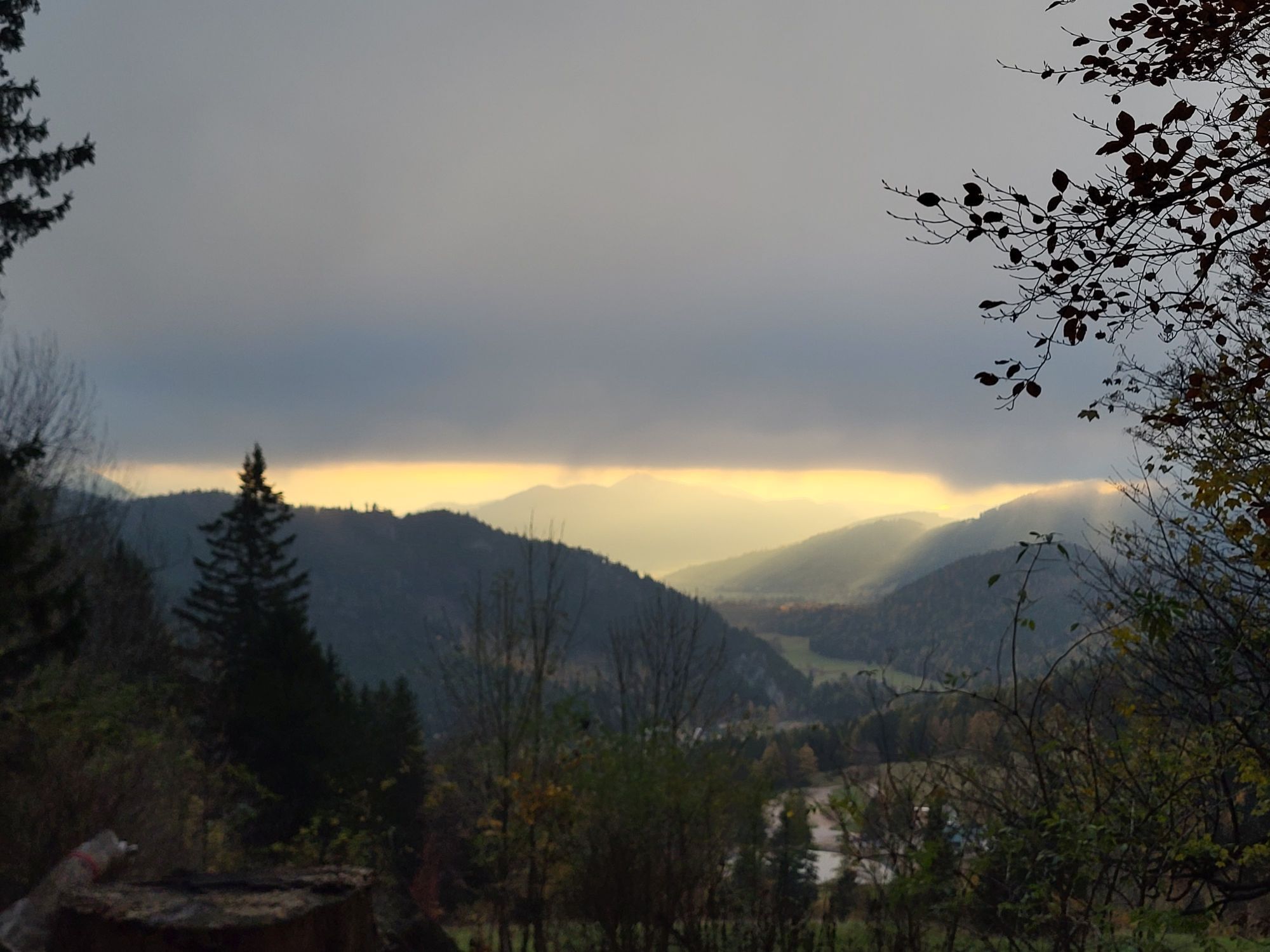
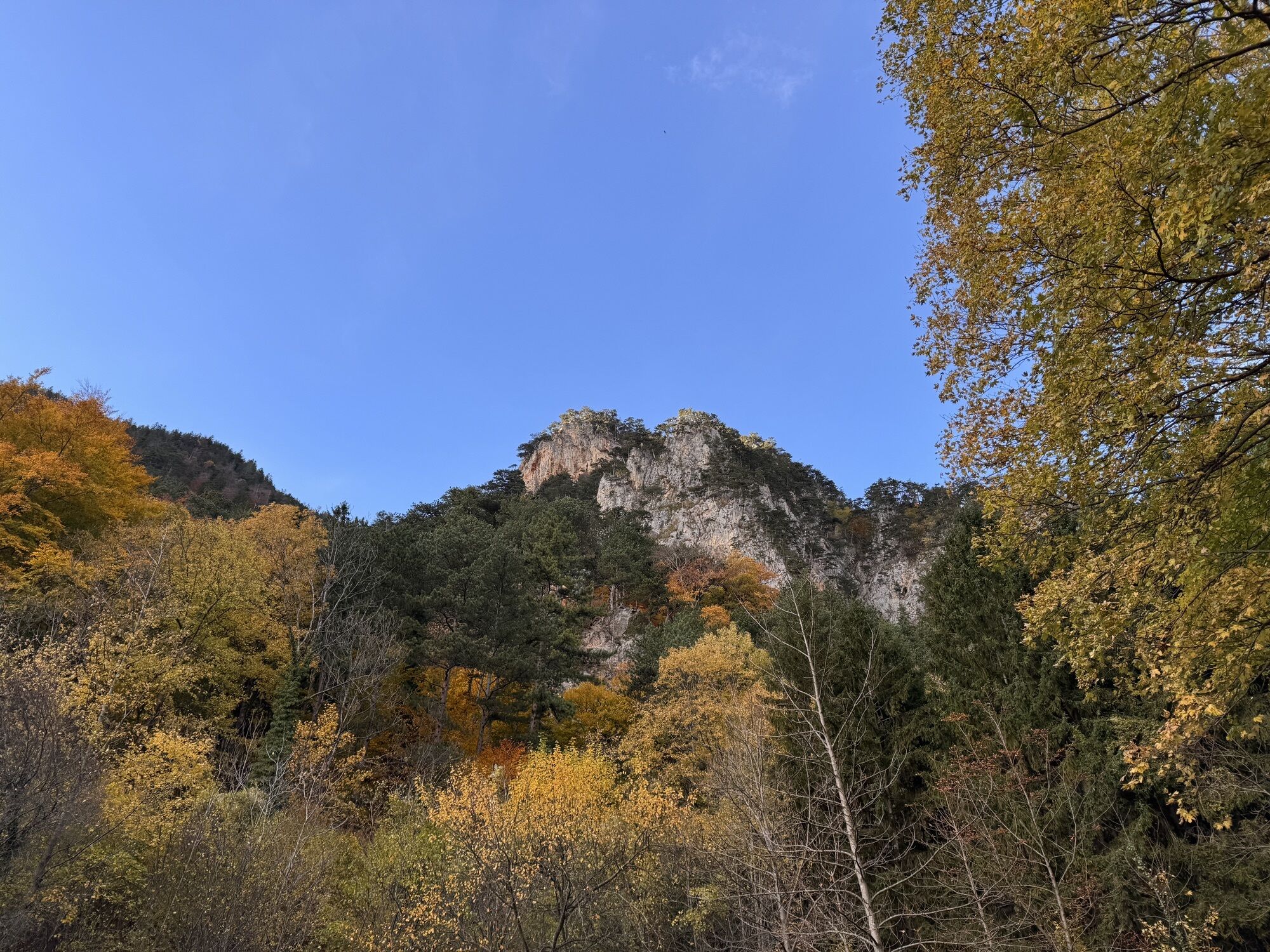
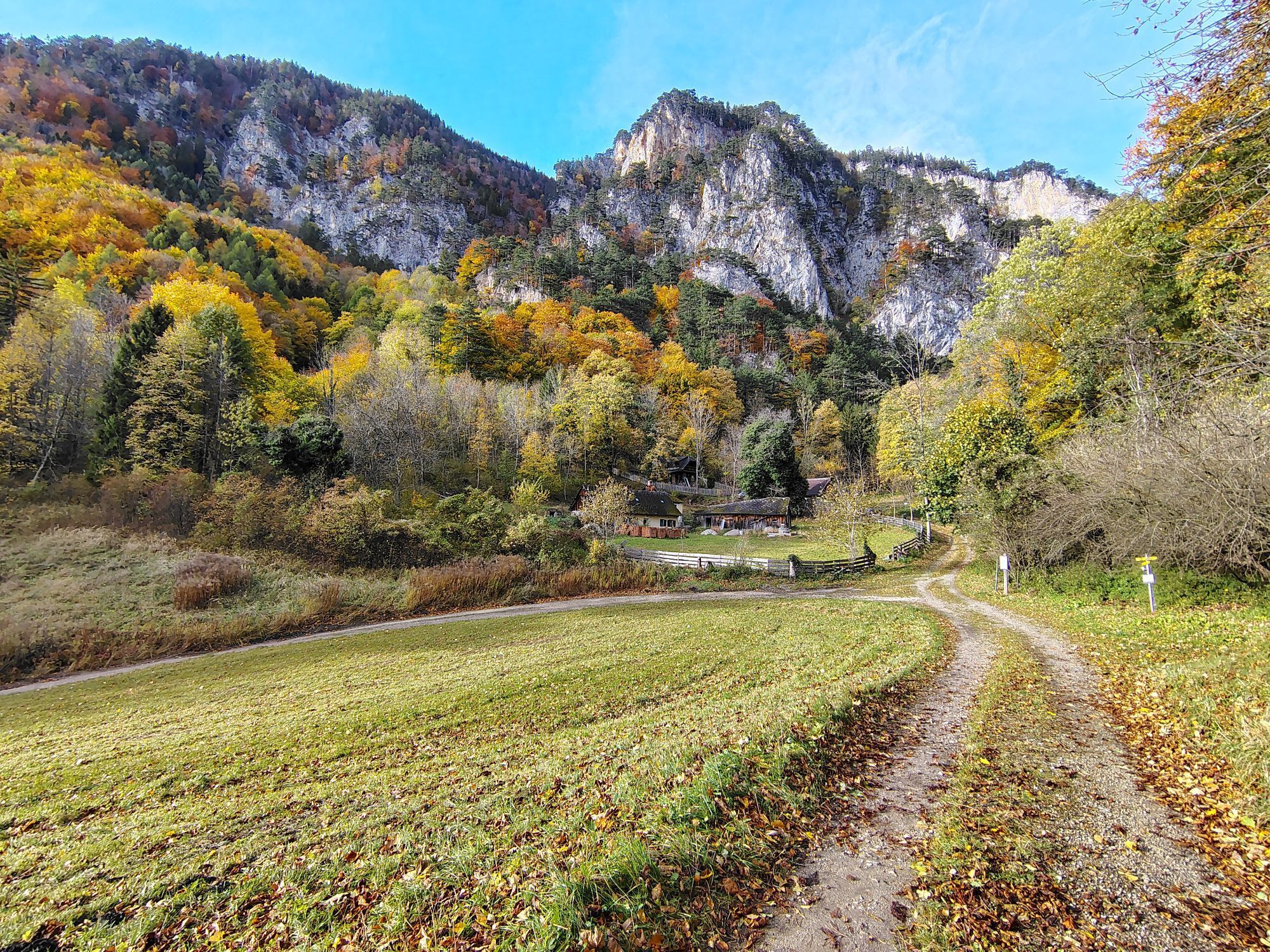
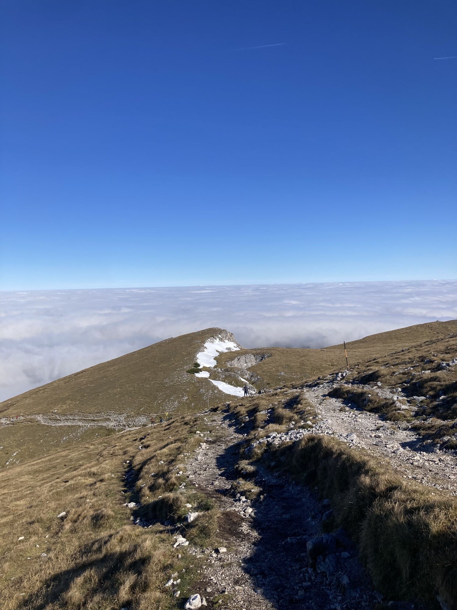
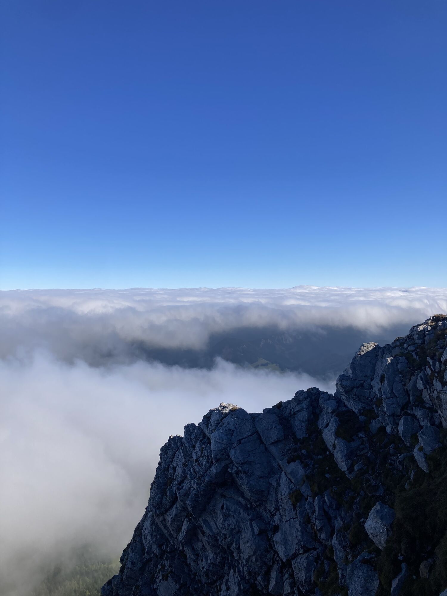
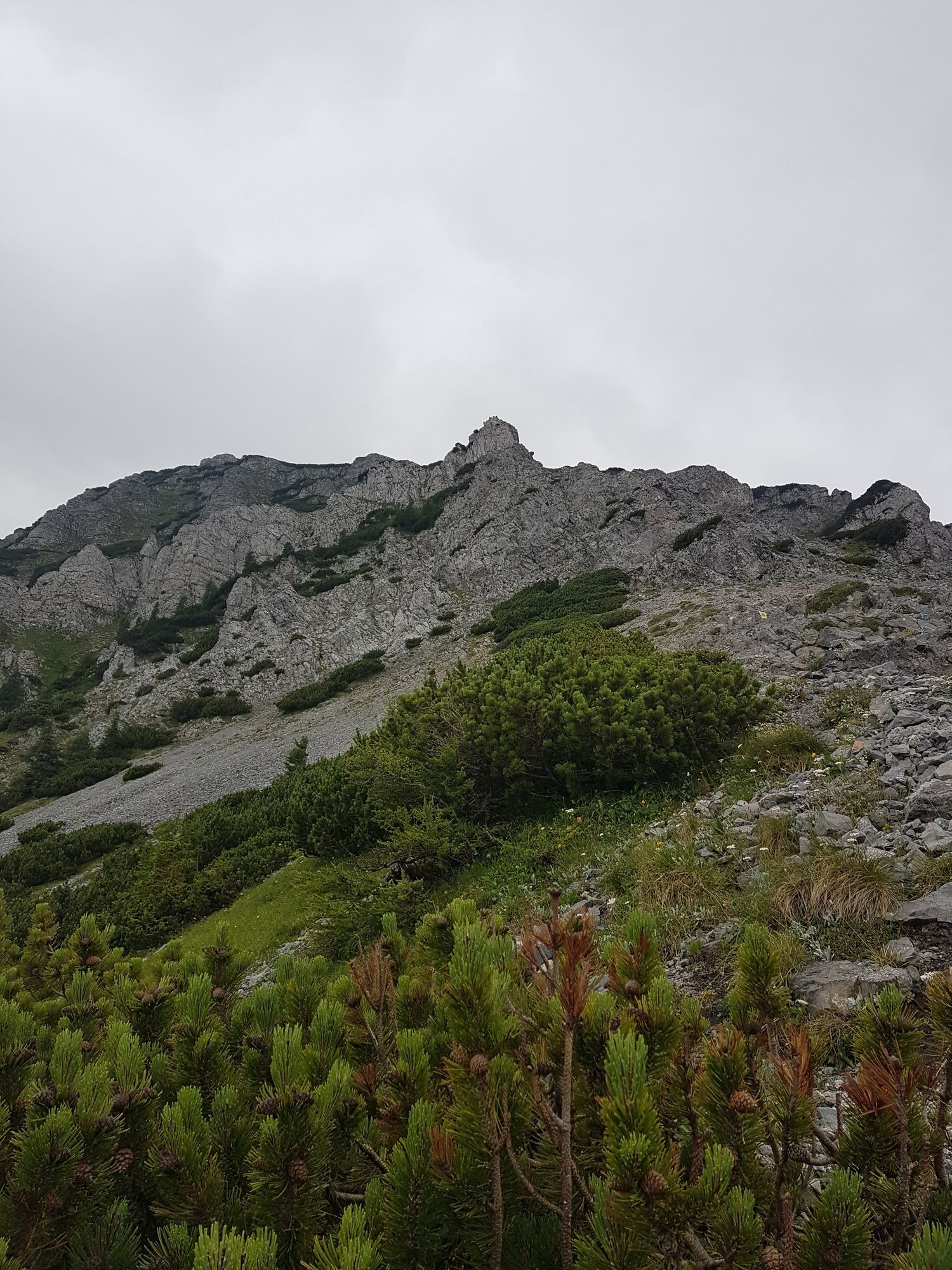
Start from Losenheim Sesselbahn Talstation. Hike up till Edelweisshütte, that is at the top of the Sesselbahn. Then go further on the Fadensteig towards Fischerhütte. Here some sections are exposed, this section is for experienced hikers. After about 3h climb, Fischerhütte is reached. 10 min more and you are at the peak: Klosterwappen. Downwards take the yellow mark, called Ochsenboden. Easy way down till the Danbockhaus. Then a rocky section comes on the Emmysteig. After this the Wassersteig is easy, but those who want another peak, climb the Krummbachstein on the Schiblsteig. This road then joins the Wassersteig later. On Wassersteig you reach Friedrich Haller Haus, from here there is an easy walk downwards till the Payerbach train station on PA14. From the top it takes approximately 4 hours to reach the train station.


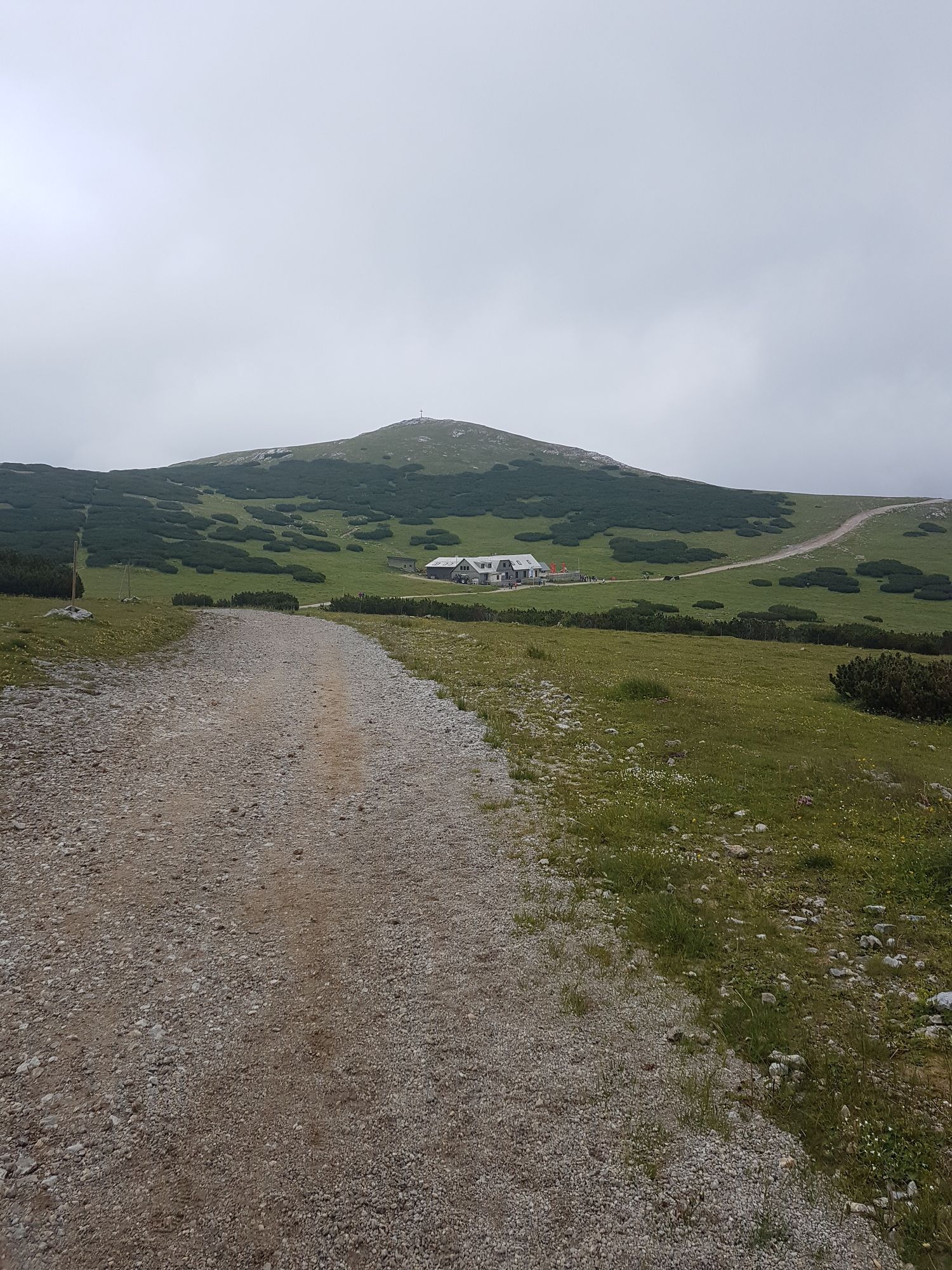

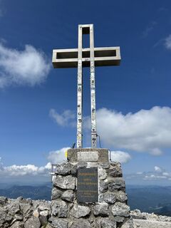
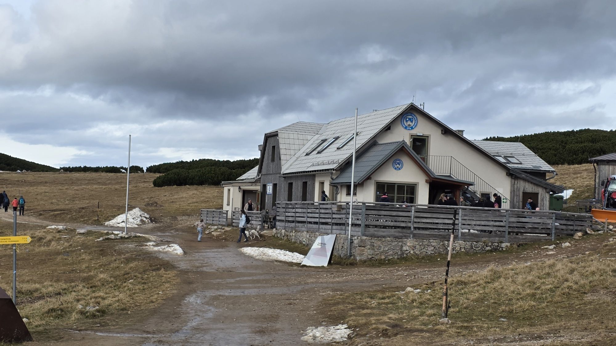
Edelweiss hütte, Fischer hütte, Damböckhaus, Friedrich Haller Haus
Sì
Sì
Sì
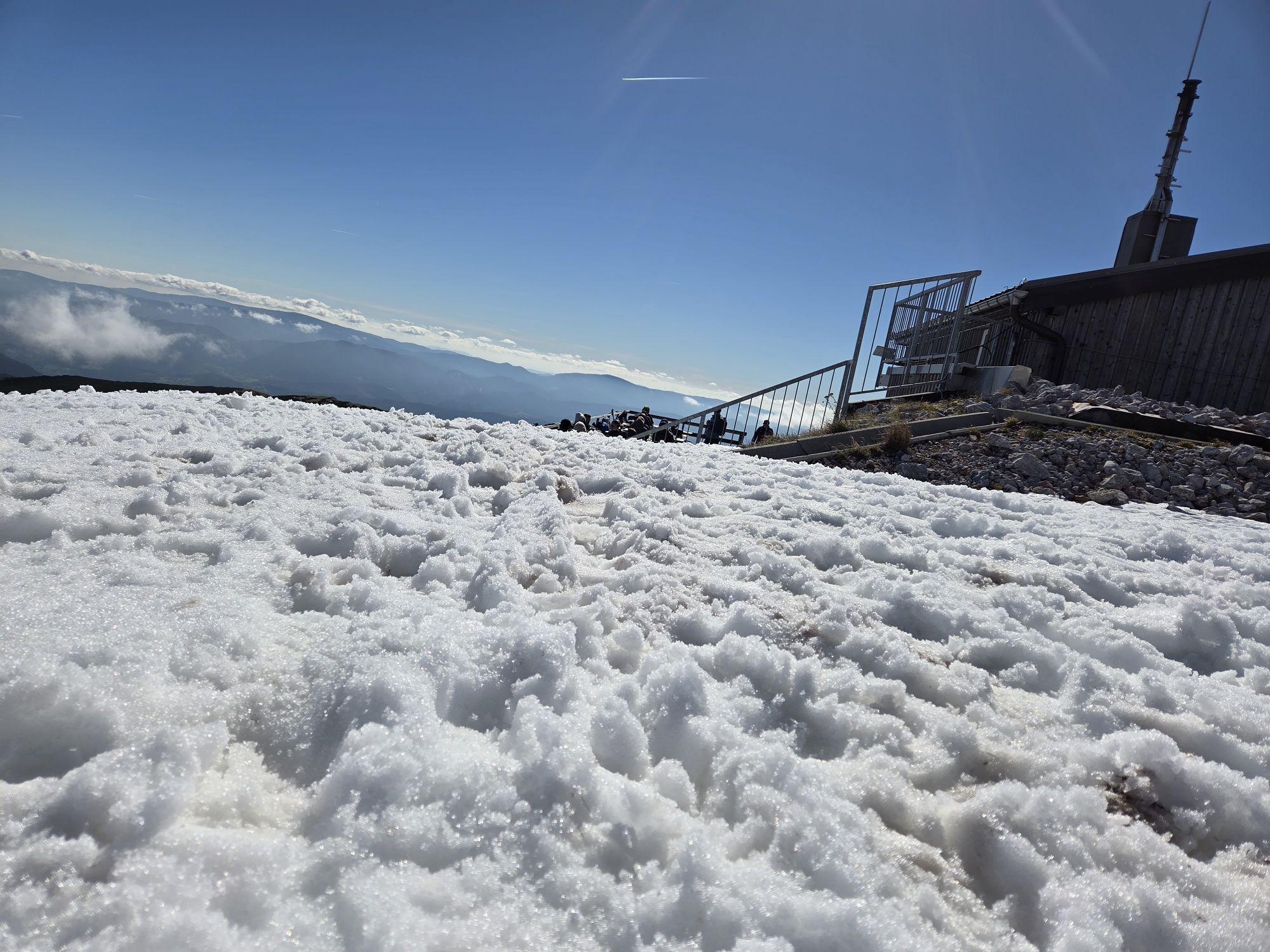
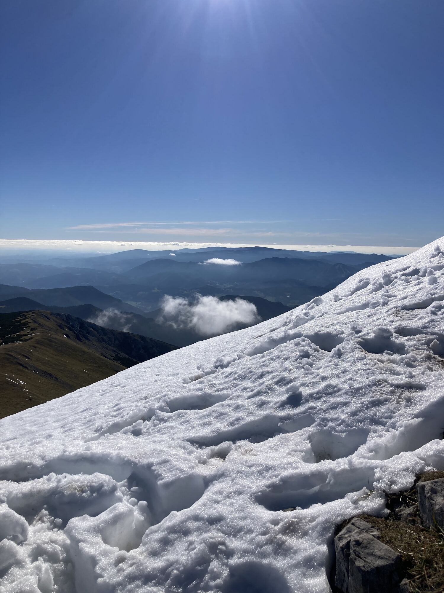
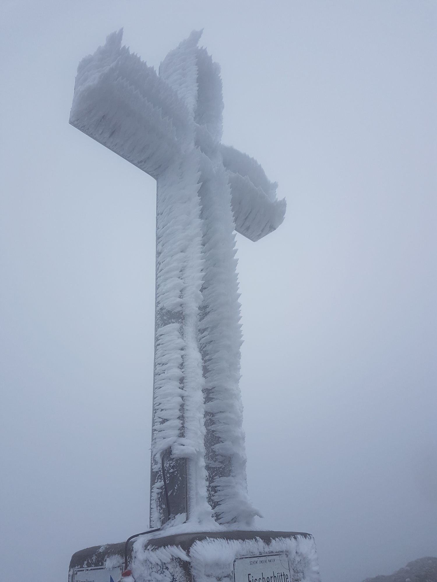
Good hiking boots, at the top it can be much more windy and colder than at the beginning.
Bus stop: Losenheim Sesselbahn talstation, bus 1720
Bus 1720 to Losenheim Sesselbahn Talstation
At Losenheim Sesselbahn Talstation, there is a car park.
Webcam del tour
I tour più popolari nelle vicinanze
- 4,8
Escursione ad anello a Payerbach attraverso la vista dell'anniversario e la cappella Schedkapelle
medioEscursionismo8,84 km - 4,7
Raxplateau Runde 12km
medioEscursionismo11,3 km - 4,7
Krummbachstein Dez 20
medioEscursionismo15,7 km - 4,7
Gsohlhirnsteig - Ottohaus - Törmweg (Rundwanderung)
medioEscursionismo11,0 km - 4,6
Krummbachstein Rundwanderung, NÖ
medioEscursionismo15,2 km - 4,4
Höllental Gr. Höllental AV Steig Ottohaus Wachhüttelkamm ret. 09.06.2017
pesanteEscursionismo10,6 km - 4,4
Johannesbachklamm - Würflach
medioEscursionismo11,3 km - 4,7
Rax Preiner Gscheid / Waxriegel / Waxriegelhaus / Göbl-Kühn-Steig / Seehütte
medioEscursionismo9,62 km - 4,4
Hochschneeberg/Klosterwappen plateau hike
medioEscursionismo7,27 km - 4,2
Kummerbauerstadl-Erzkogel-Sonnwendstein-Maria Schutz-Kummerbauerstadl
luceEscursionismo12,2 km

Escursioni e tracking


Non perdete le offerte e le ispirazioni per le vostre prossime vacanze
Il vostro indirizzo e-mail è stato aggiunto alla mailing list.