


Innerarosa – Schwellisee lake – Alpenblick – Innerarosa


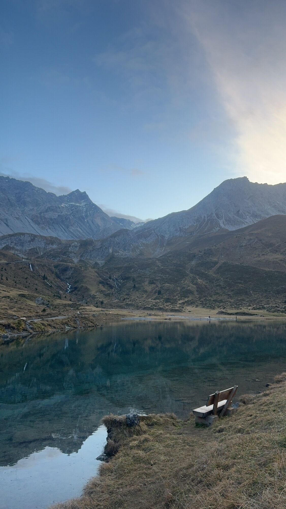
From Innerarosa, the trail leads past snow-covered winter landscapes to the Schwellisee lake. The Plessur flows through the Schwellisee, which was formed by a landslide from the Schafrügg. The area around...
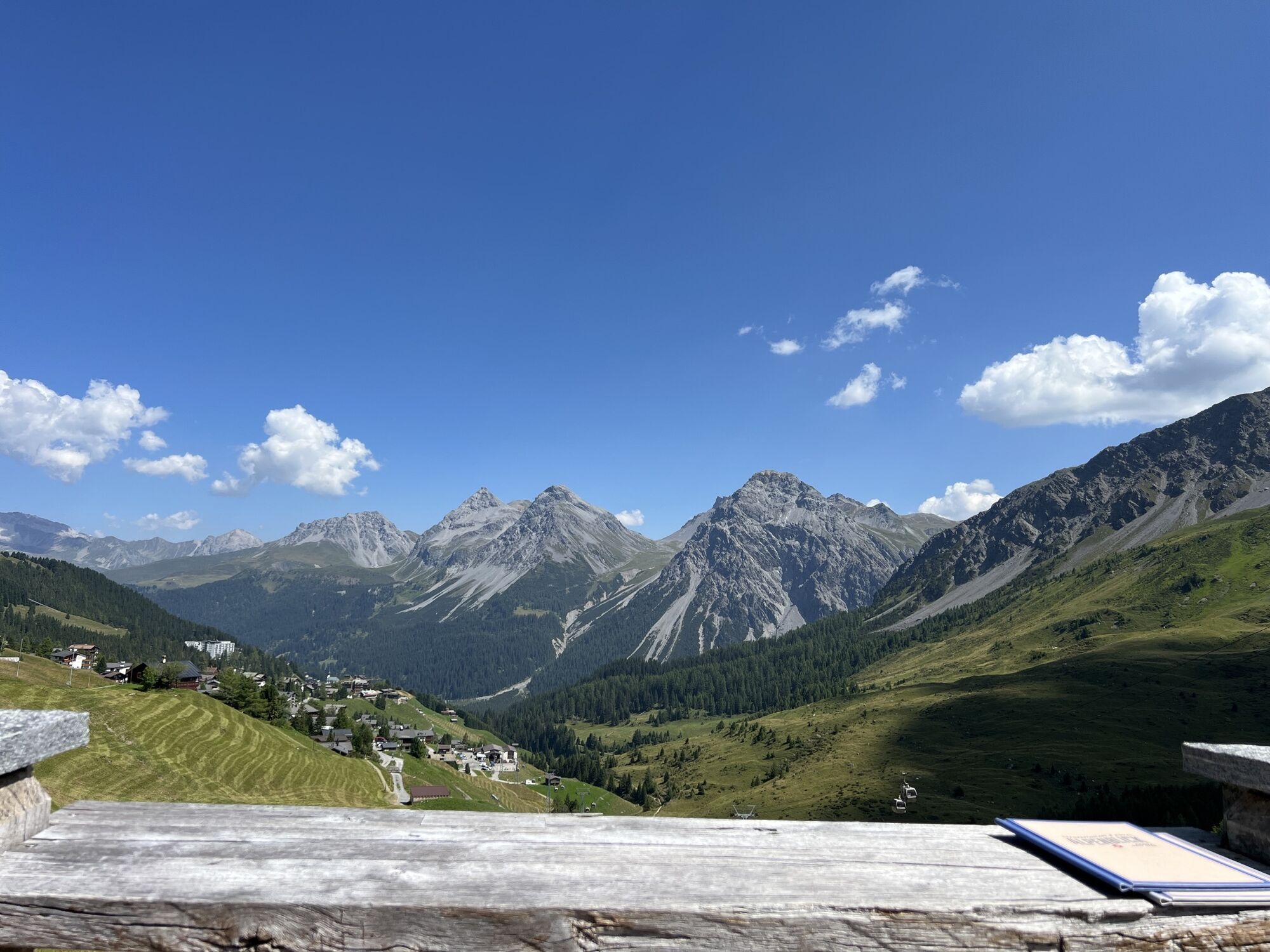
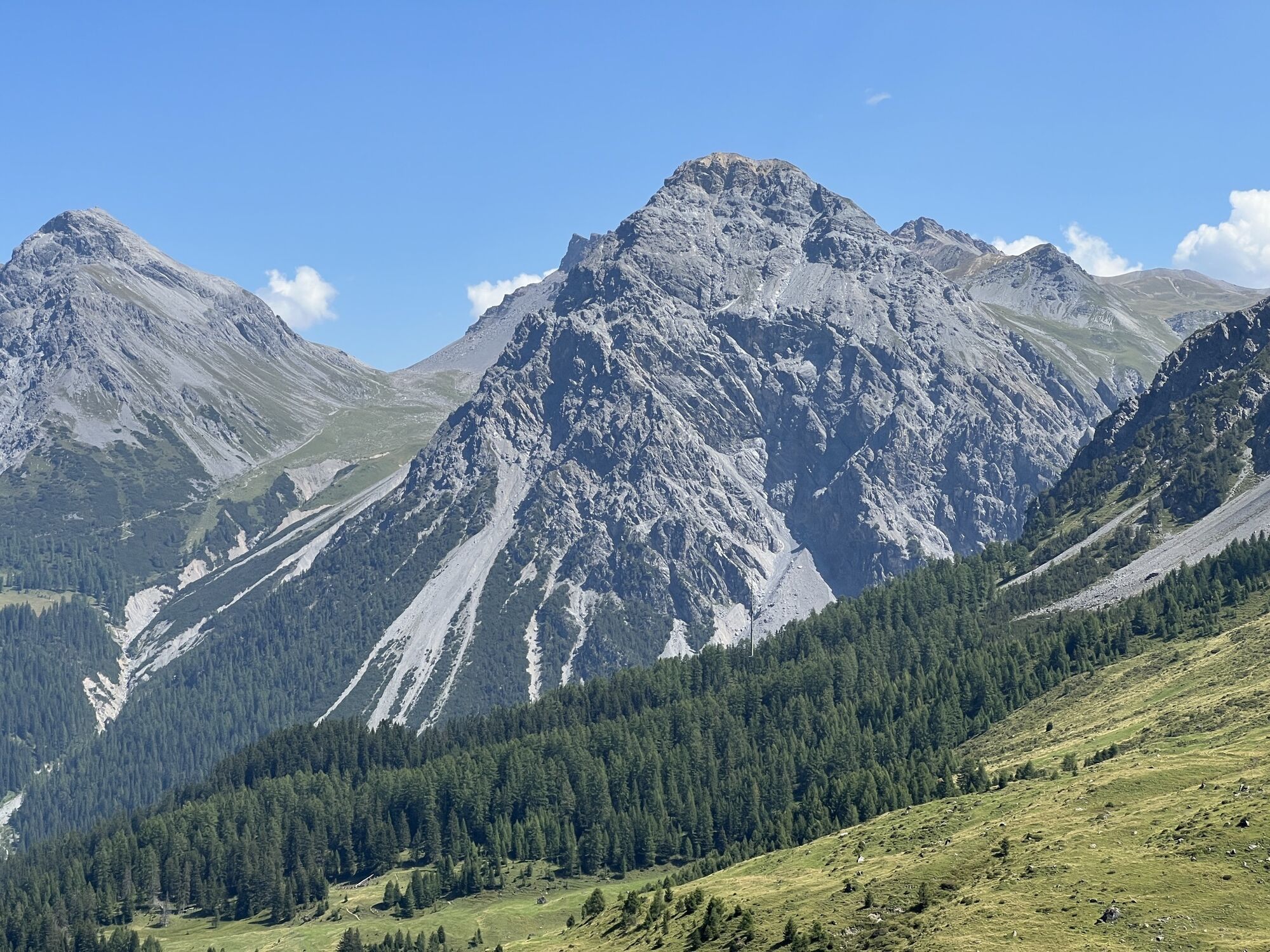
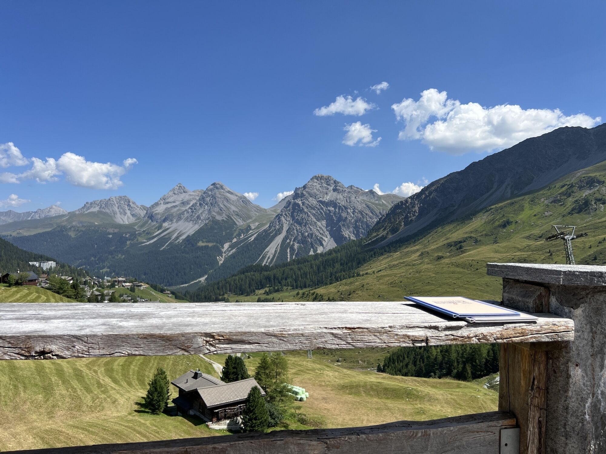
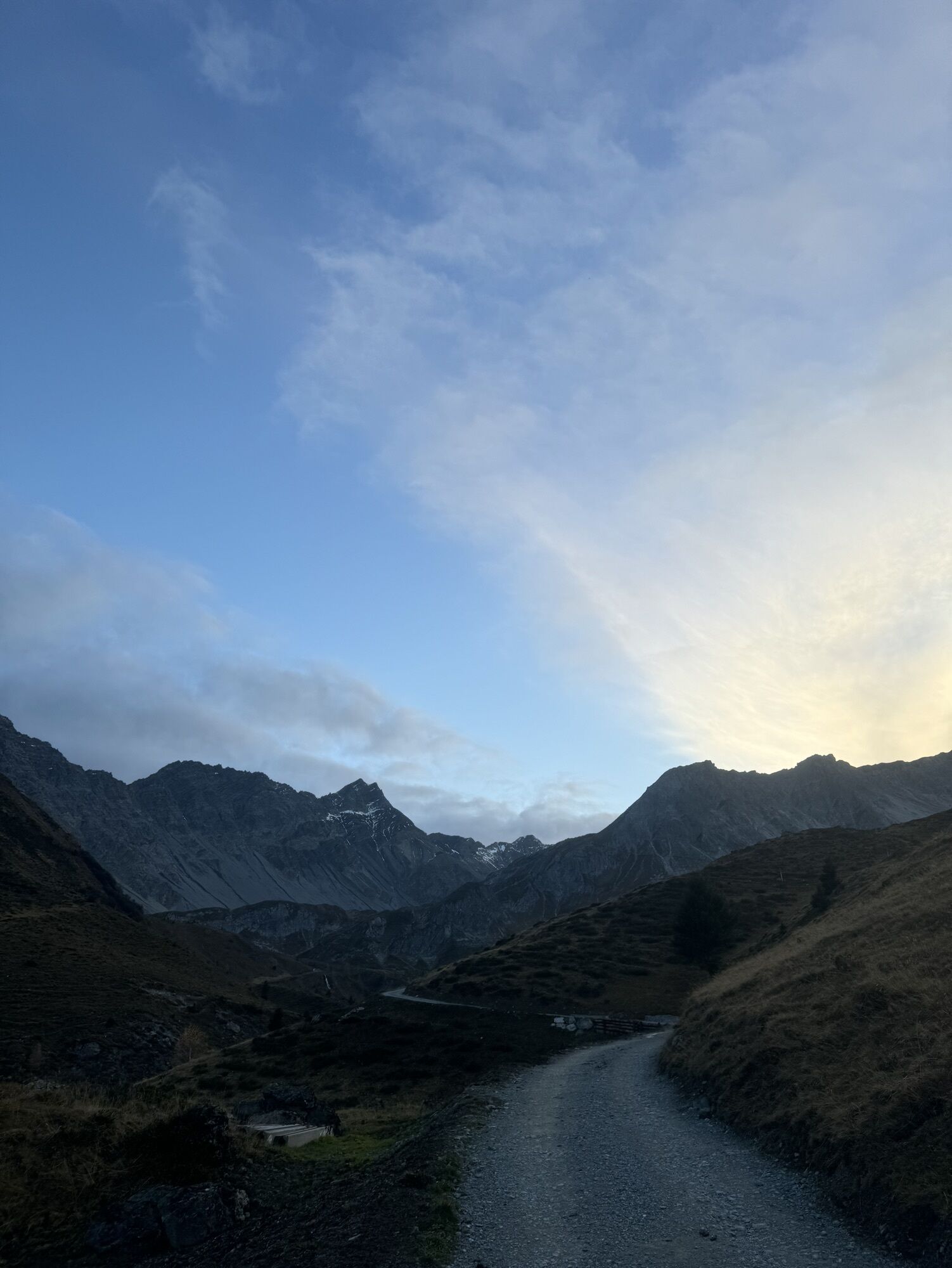
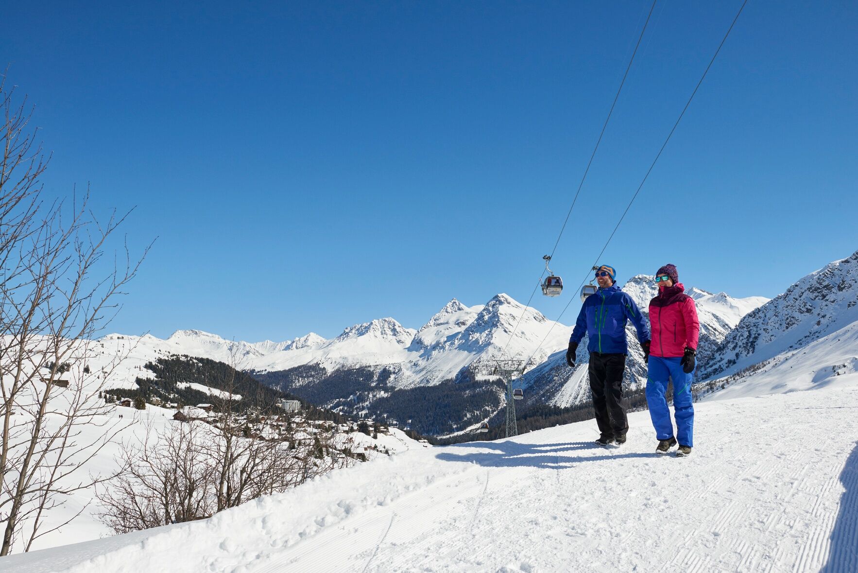
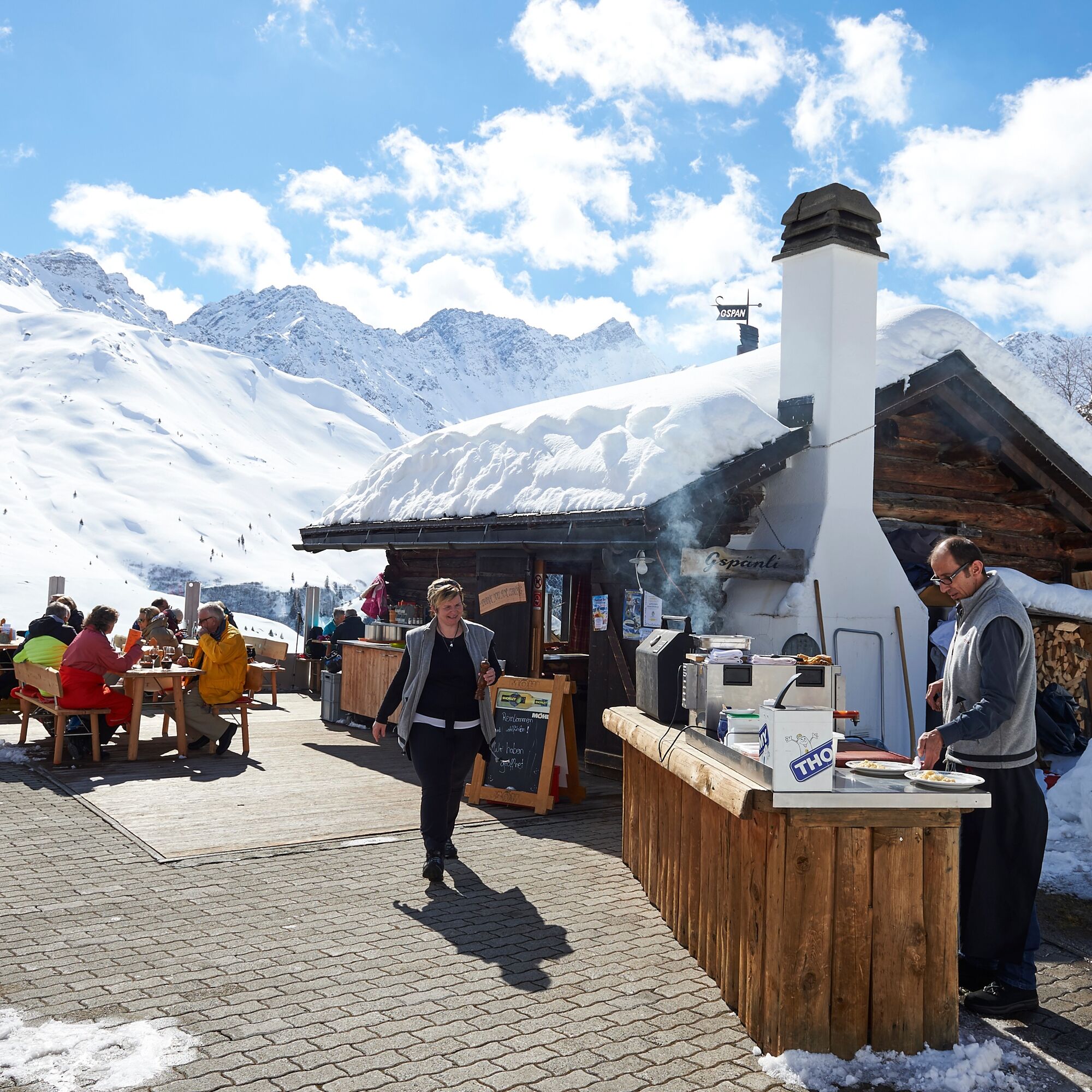
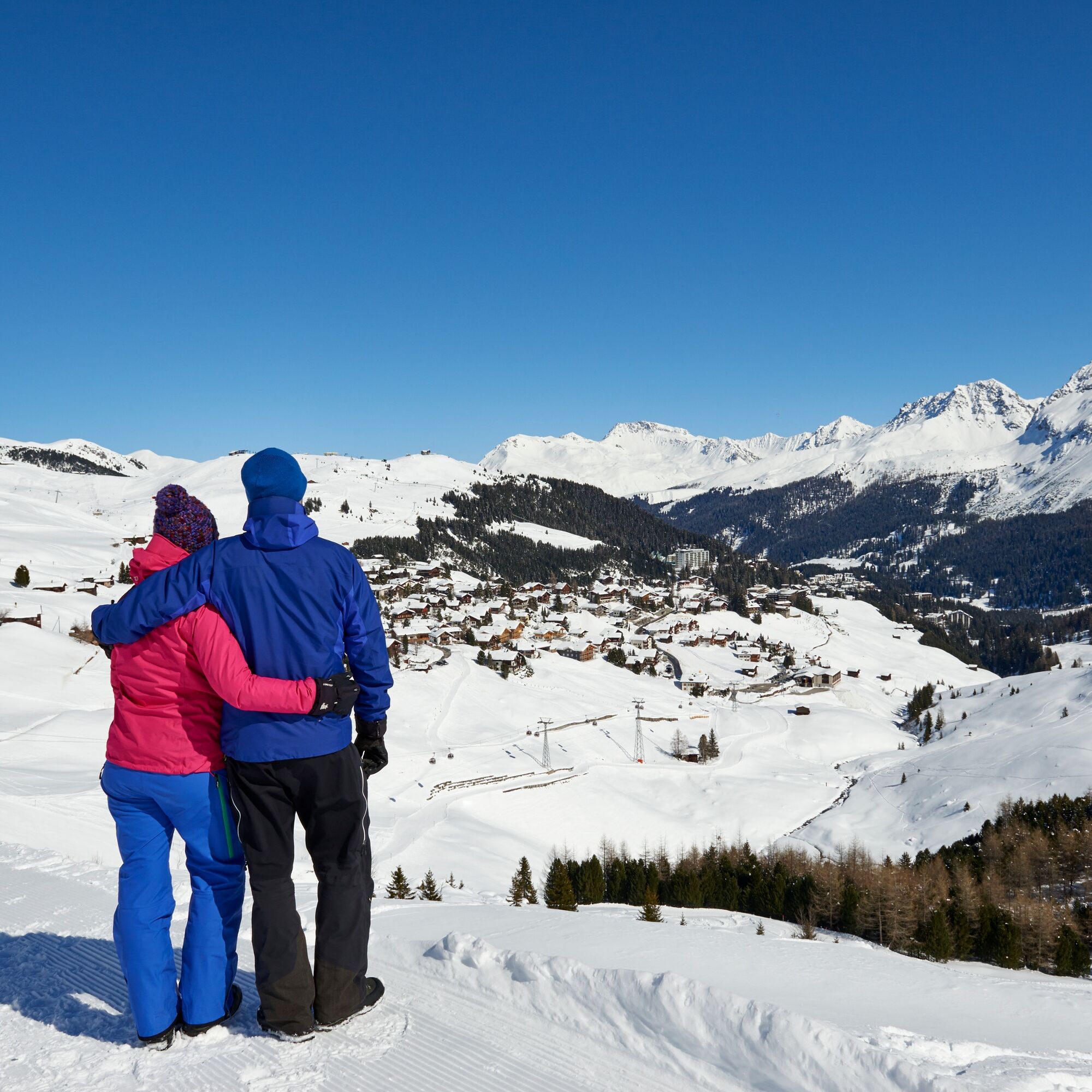
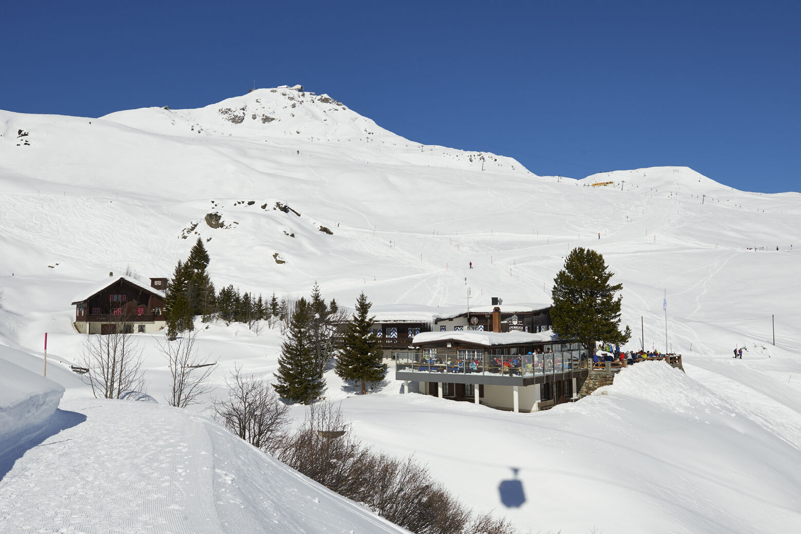
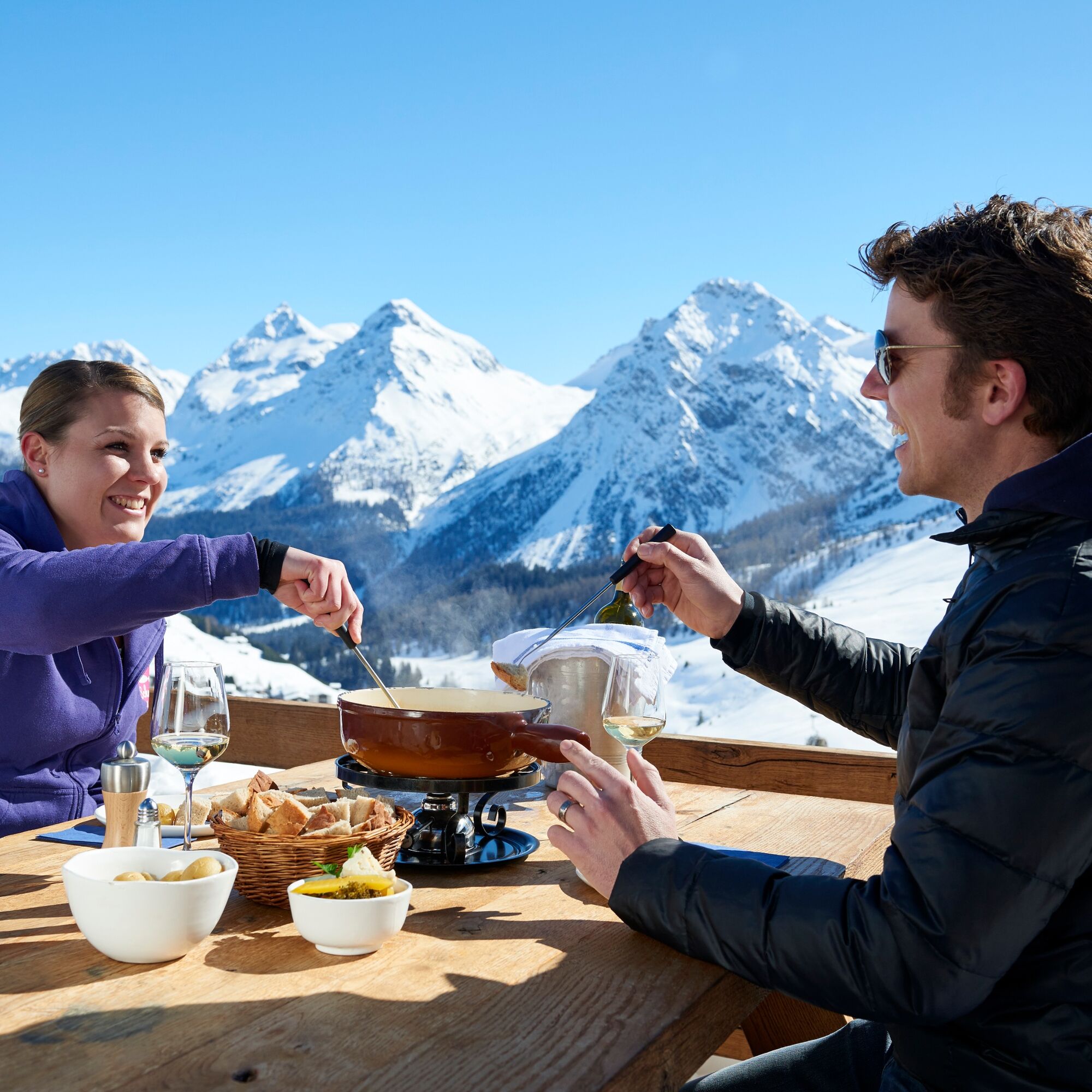
From Innerarosa, the trail leads past snow-covered winter landscapes to the Schwellisee lake. The Plessur flows through the Schwellisee, which was formed by a landslide from the Schafrügg. The area around the Schwellisee was once surrounded by a pine forest, which the Walsers cleared. Above the lake, individual stone pines bear witness to that time. The trail continues to the Alpenblick mountain restaurant and then back to Innerarosa. From there it is worth making a detour to the Bergkirchli, the oldest building in Arosa. On the sunny wooden benches you can also enjoy the panorama with the Erzhorn and Arosa Rothorn. From the church it is not far to the local history museum in the Eggahuus, a knitted building built around 1600. The local history collection includes a weaving room, stuffed animals and a "sports section" with old skis and sledges.

Innerarosa - Schwellisee lake - Alpenblick - Innerarosa
Sturdy shoes, winter walking sticks an advantage. Weather-dependent clothing is recommended.
Please see the current winter sports report.
Once you arrive in Chur, follow the sign posts "Arosa".
The Rhaetian Railway leaves Chur to Arosa and back at hourly intervals. Take the local bus towards "Hörnli" and get off the bus stop "Gada".
Parking garage Innerarosa/Brüggli or car park Hörnli
I tour più popolari nelle vicinanze
-
Alp Sanaspans - Rothorn
pesanteEscursionismo 13,6 km -
5,0
Arosa-Hörnli-Urdenfürrgli-Alp Scharmoin-Lenzerheide
medioEscursionismo 15,3 km -
5,0
202 percorso in quota Tgantieni
pesanteEscursioni invernali 12,3 km -
5,0
Piz Scalottas - Brambrüesch
medioEscursionismo 16,6 km -
Rundtour Lenzerheide
medioEscursionismo 14,9 km -
3,0
207 Mittelberg Parpan
medioEscursioni invernali 7,07 km -
201 percorsoda Heidsee
luceEscursioni invernali 5,49 km -
521 Era Vedra
medioCiaspole 2,82 km -
Churwalden - Windegga - Fuulberg - Stätzerhorn
medioTrailrunning 13,2 km -
Alp Sanaspans - Lenzerhorn
pesanteEscursionismo 6,28 km
Escursioni e tracking


Non perdete le offerte e le ispirazioni per le vostre prossime vacanze
Il vostro indirizzo e-mail è stato aggiunto alla mailing list.