


Crossing the Vosges Mountains - Stage 11 - Barr - Châtenois


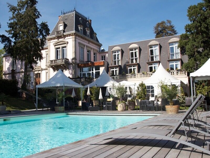
Foto dei nostri utenti
-
 © KatharinaCreato il 23.03.2025
 -
 © KatharinaCreato il 23.03.2025
 -
 © KatharinaCreato il 23.03.2025
 -
 © KatharinaCreato il 23.03.2025
 -
 © KatharinaCreato il 23.03.2025
 -
 © KatharinaCreato il 23.03.2025
 -
 © Cathy WiselerCreato il 27.04.2024
 -
 © Cathy WiselerCreato il 27.04.2024
 -
 © Cathy WiselerCreato il 27.04.2024
 -
 © Ansgar Unde VrederunCreato il 12.11.2023
 -
 © Ansgar Unde VrederunCreato il 12.11.2023
 -
 © Ansgar Unde VrederunCreato il 12.11.2023

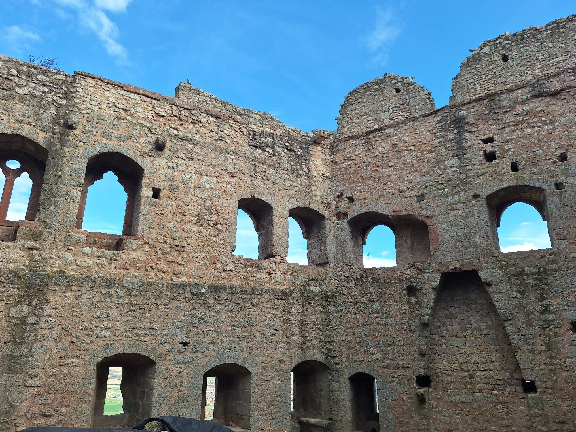
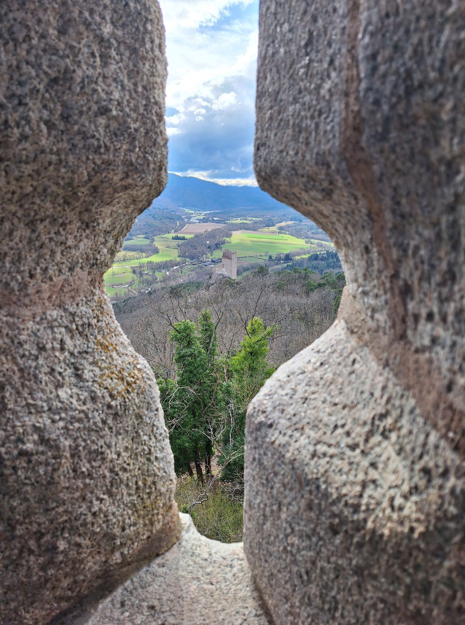

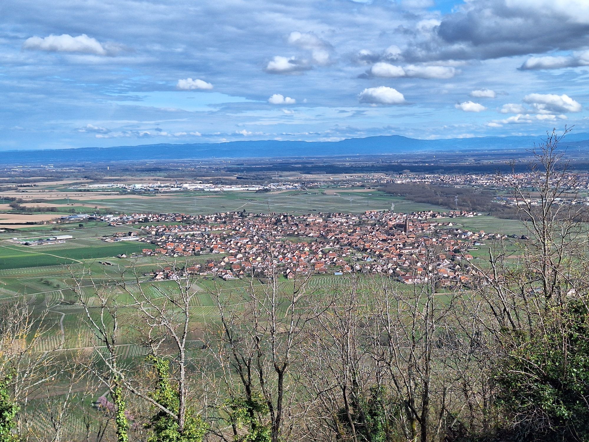
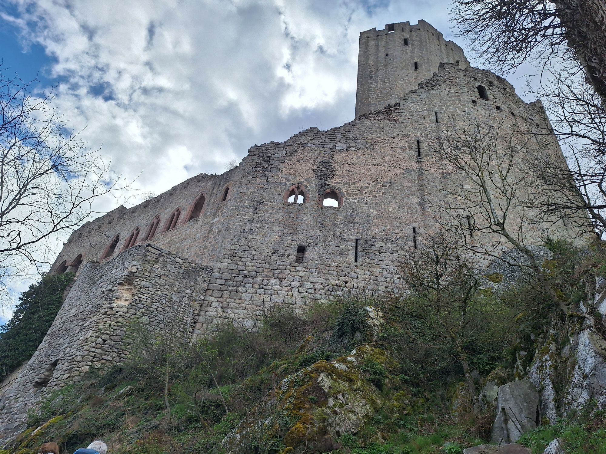
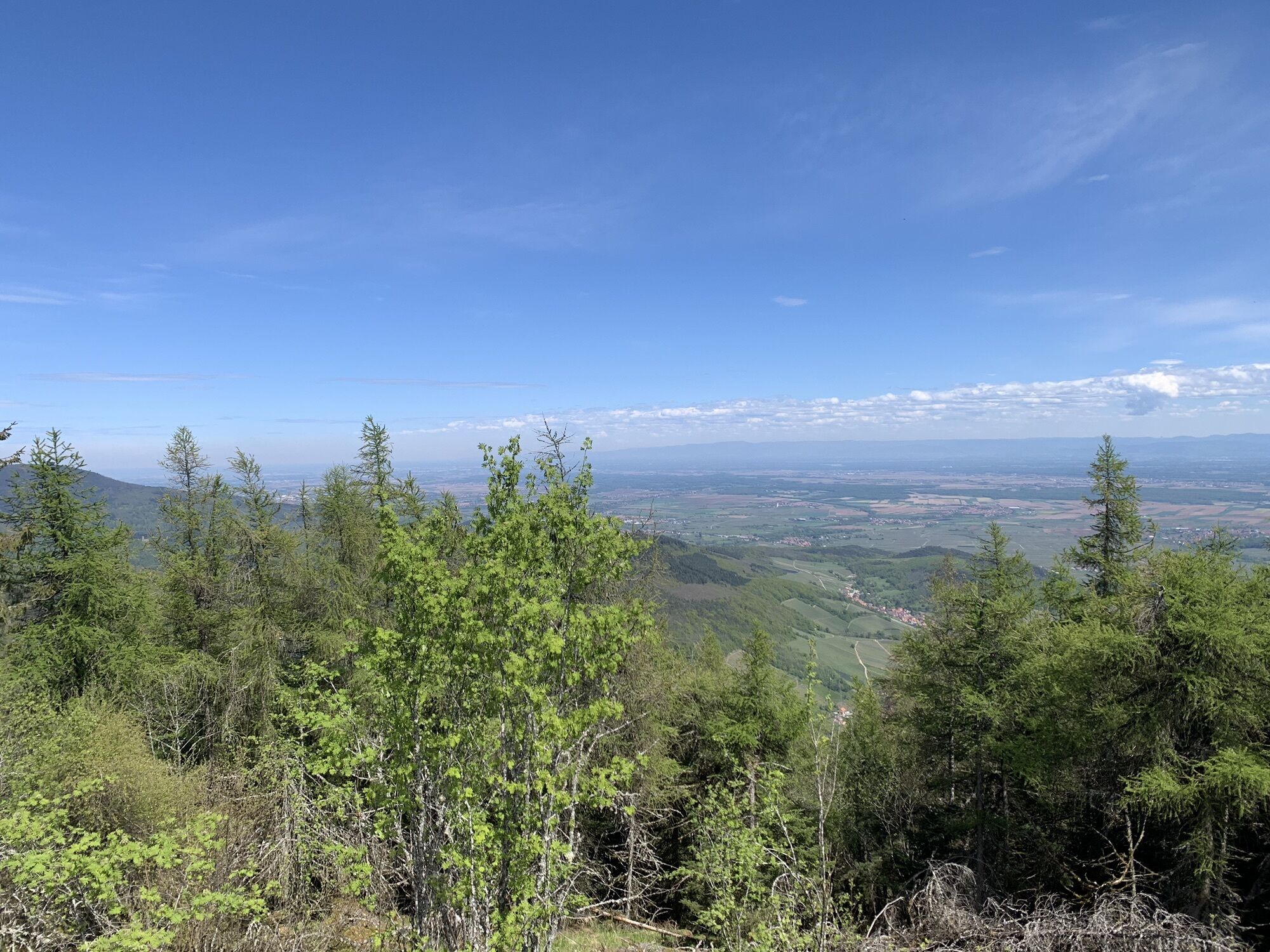
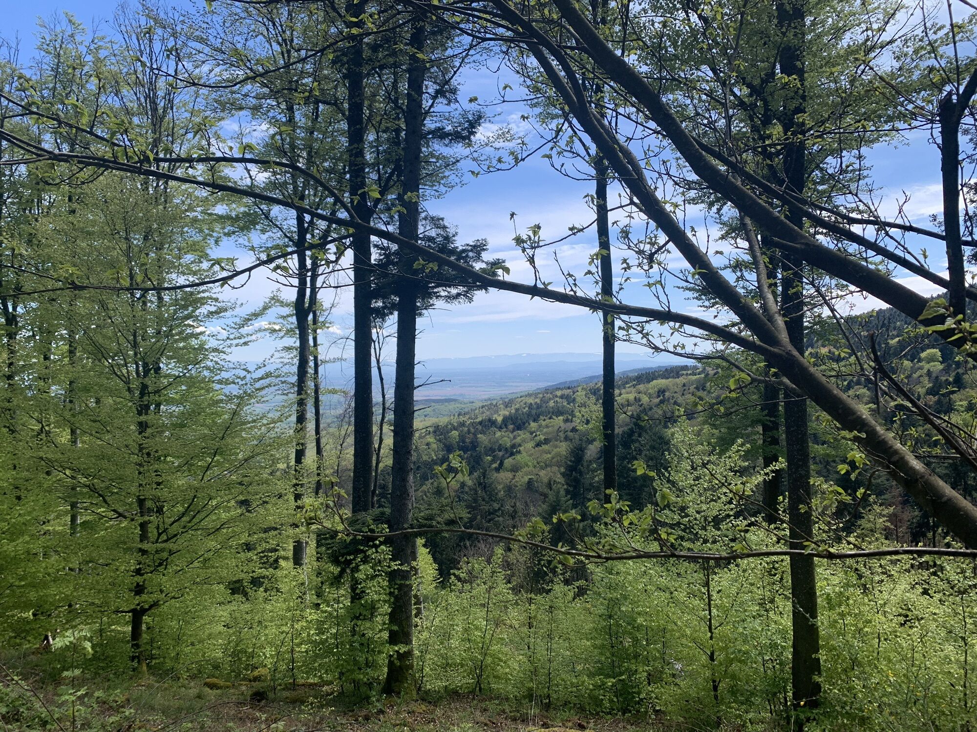
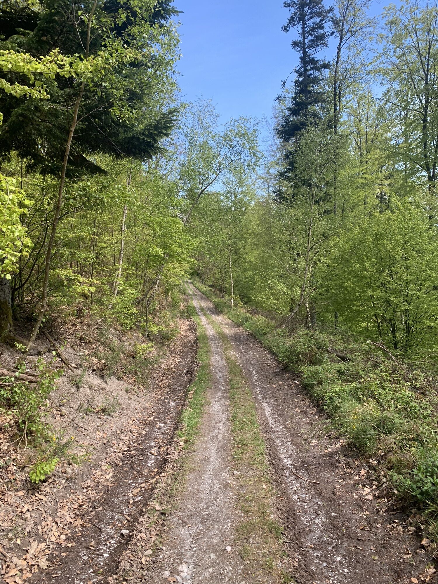


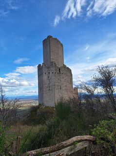
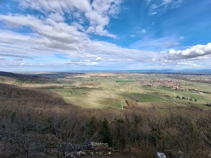
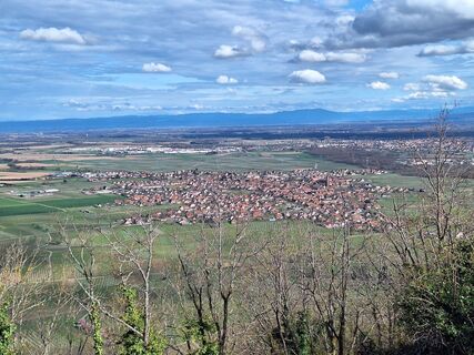
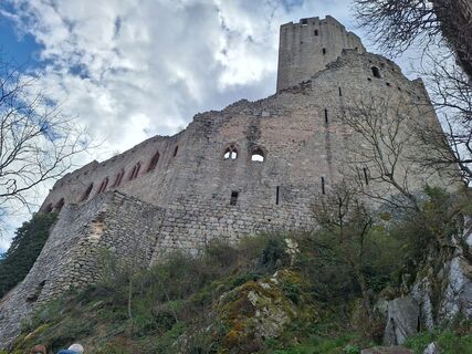
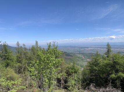
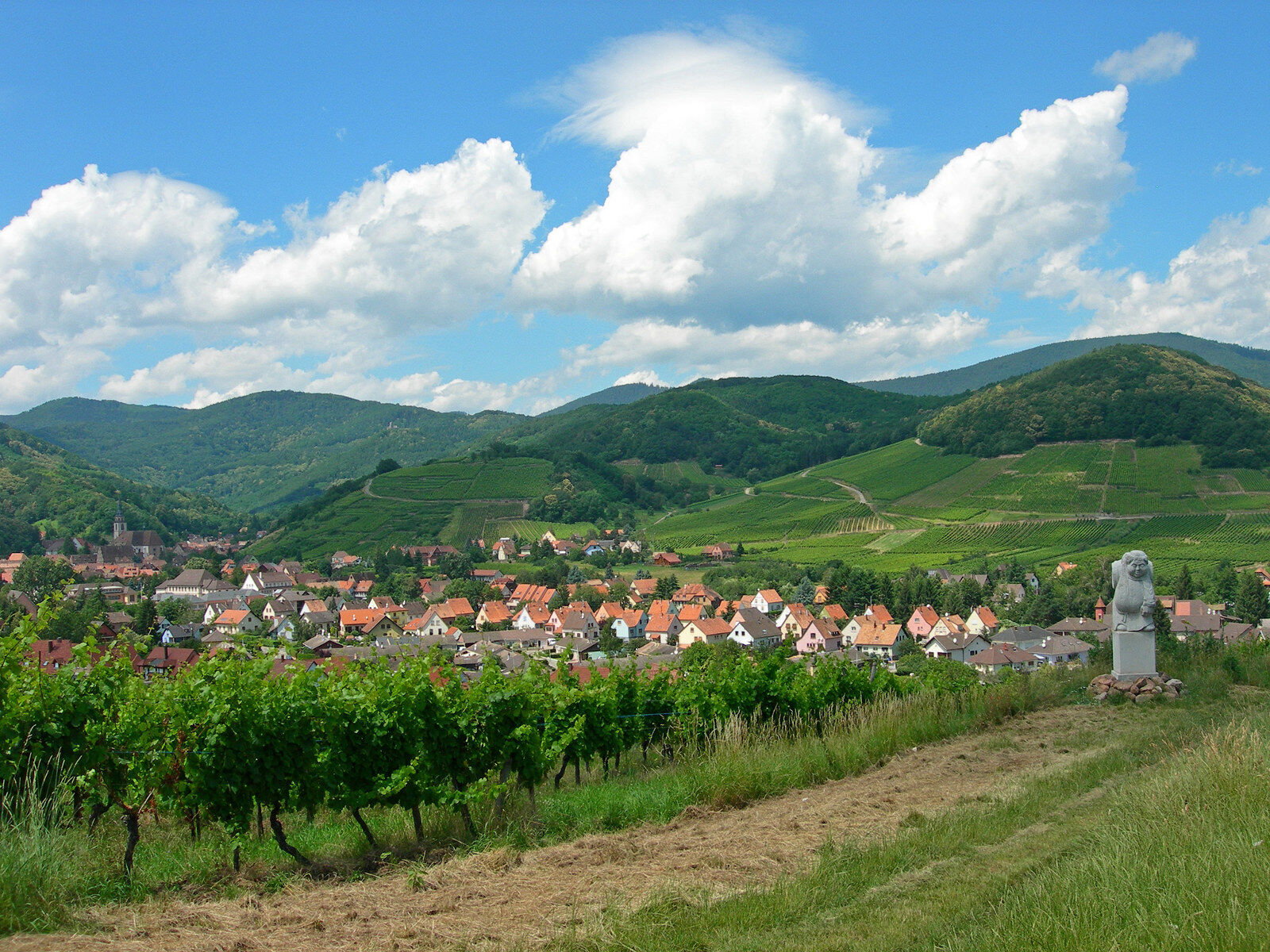
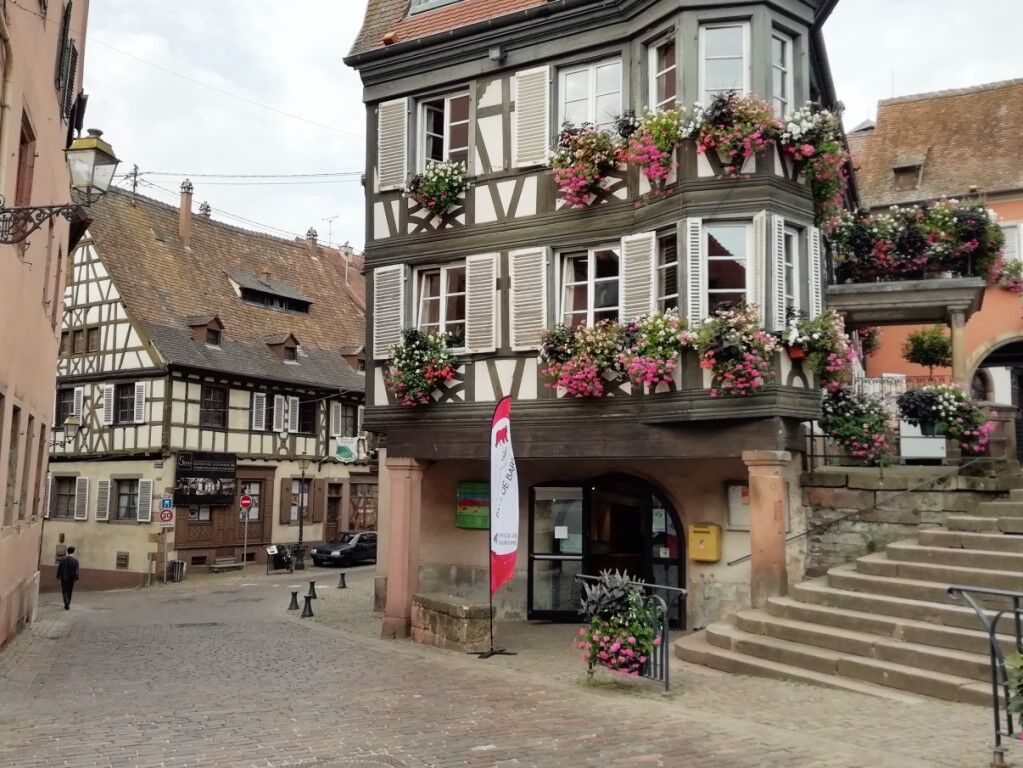
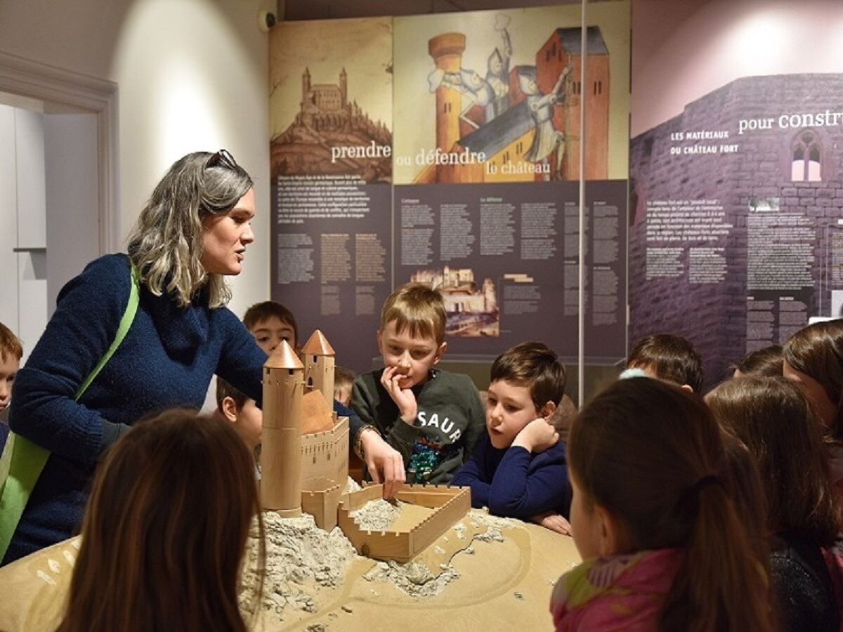
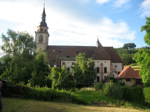
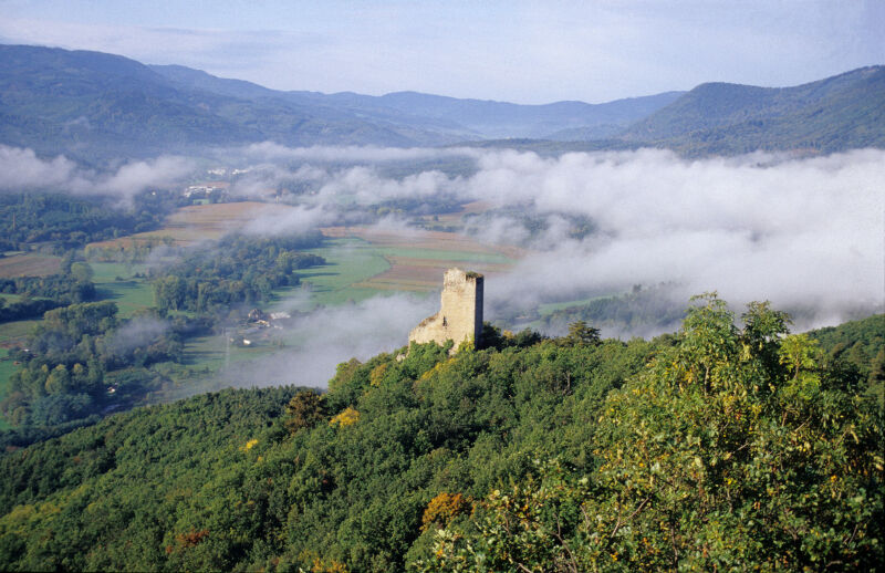
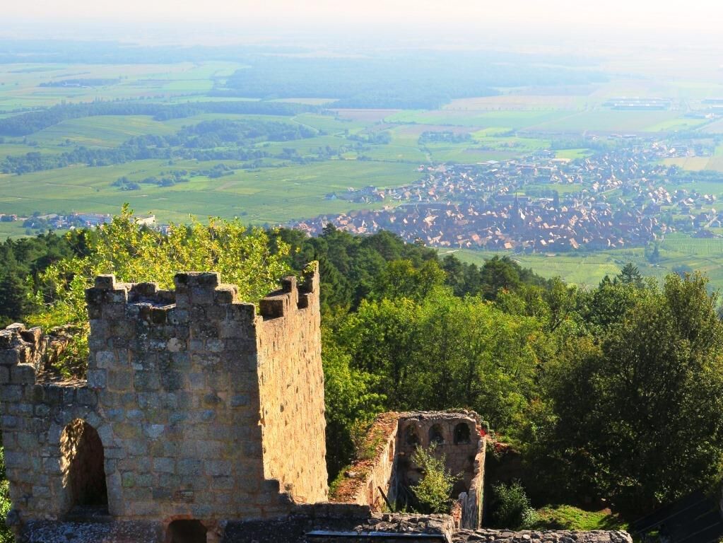
It is possible to stop in Andlau to visit the heritage interpretation centre. The path then continues on the heights with in particular the possibility of climbing the Ungersberg tower to admire the panorama,...
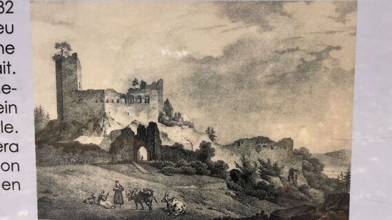
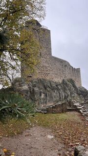
It is possible to stop in Andlau to visit the heritage interpretation centre. The path then continues on the heights with in particular the possibility of climbing the Ungersberg tower to admire the panorama, then visiting a few castles such as the castle of Bernstein, Ortenbourg or Ramstein. The end of the stage takes place in a charming village in the Piedmont, Châtenois, surrounded by ramparts.


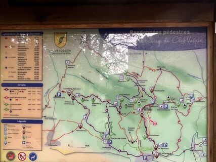
Balisage rectangle rouge du Club Vosgien (itinéraire de Grande Randonnée GR® 5 par la Fédération Française de Randonnée Pédestre).
Sì
Sì
Vêtements adaptés à la saison et aux conditions (froid, chaud, humide…)
Chaussures de randonnée adaptées au terrain (même pour les enfants !)
Bâtons de randonnée (utiles pour la stabilité et pour soulager les articulations)
Téléphone mobile et batterie de rechange
Il convient de respecter les recommandations suivantes pour une bonne pratique de la randonnée. Il faut bien s'informer de l'itinéraire à parcourir. Une préparation et une évaluation de la condition physique sont nécessaires.
Barr
Gare TER de Barr www.fluo.eu
Plusieurs parking disponibles au centre-ville de Barr
Office de Tourisme du Pays de Barr
1 place de l'Hôtel de Ville
67140 Barr
Tél : 03 88 08 66 65
Balisage rectangle rouge du Club Vosgien (itinéraire de Grande Randonnée GR® 5 par la Fédération Française de Randonnée Pédestre).
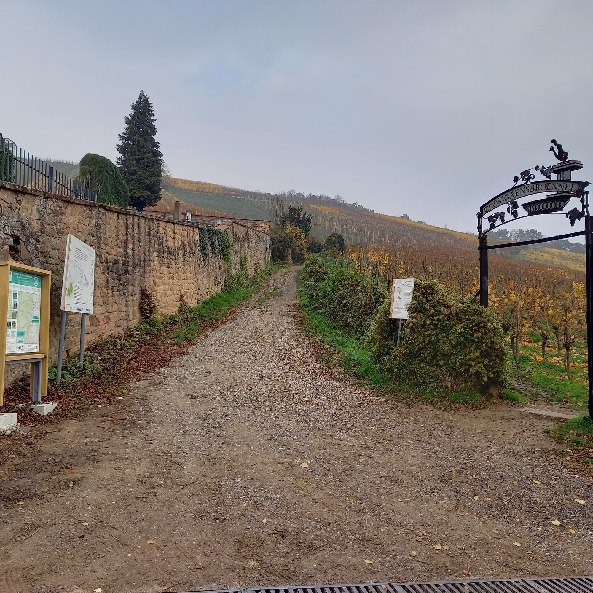
Faites une halte dans une cave du vignoble pour déguster les excellents vins alsaciens.
Si vous souhaitez effectuer cet itinéraire en deux fois, il est possible de faire étape au Refuge Gruckert ou Reichsfeld (à 1.8km).
Il est préférable de réserver les hébergements en amont de la randonnée en haute saison.
I tour più popolari nelle vicinanze
-
Traversata del Massiccio dei Vosgi a piedi - Wissembourg / Belfort - GR53 - GR5
pesantePercorso a piedi di lunga distanza 432,2 km -
Percorso in bici: EuroVelo5 Via Romea. Saarbrücken – Strasburgo – Basilea
medioPercorso ciclabile 388,7 km -
Cammino di Santiago di Compostela in Alsazia
medioPellegrinaggio 274,4 km -
Passeggiata in famiglia: intorno a Belmont
medioEscursionismo 6,36 km -
3,0
Tour Haut-Koenigsnourg de St Hypolite
luceEscursionismo 11,8 km -
Montagne, vigneti e castelli in Alsazia e nel Massiccio dei Vosgi
pesanteEquitazione 154,9 km -
Saint Hippolyte - Haut Kœnigsbourg
luceEscursionismo 12,4 km -
Tour du Champ du Feu
medioPercorso a piedi di lunga distanza 88,2 km -
Randonnée du Mont Saint Odile
luceEscursionismo 15,2 km -
Percorso bici "Rosheim - Obernai via le Portes Bonheur"
medioBicicletta 20,6 km
Escursioni e tracking


Non perdete le offerte e le ispirazioni per le vostre prossime vacanze
Il vostro indirizzo e-mail è stato aggiunto alla mailing list.