Offenburg - Weingarten Kirche St. Philippus und Jakobus - Brandeckkopf - St. Andreas
pesante
Navigare
Navigare
Scarica questo tour sul tuo cellulare
Offenburg - Weingarten Kirche St. Philippus und Jakobus - Brandeckkopf - St. Andreas
pesante
Escursionismo
21,67
km
Scansionate il codice QR e avviate la navigazione nell'app bergfex.

Escursioni e tracking


Offenburg - Weingarten Kirche St. Philippus und Jakobus - Brandeckkopf - St. Andreas
pesante
Distanza
21,67
km
Durata
05:38
h
Salita
465
m
Livello del mare
162 -
685
m
Scarica la traccia
Offenburg - Weingarten Kirche St. Philippus und Jakobus - Brandeckkopf - St. Andreas
pesante
Escursionismo
21,67
km


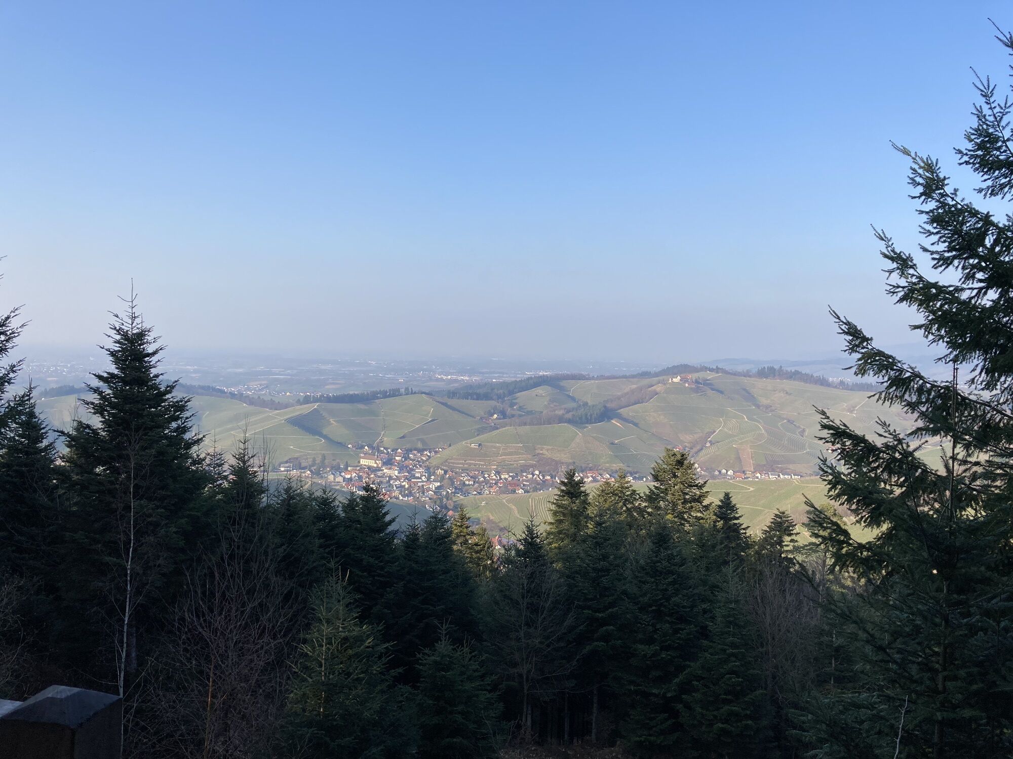
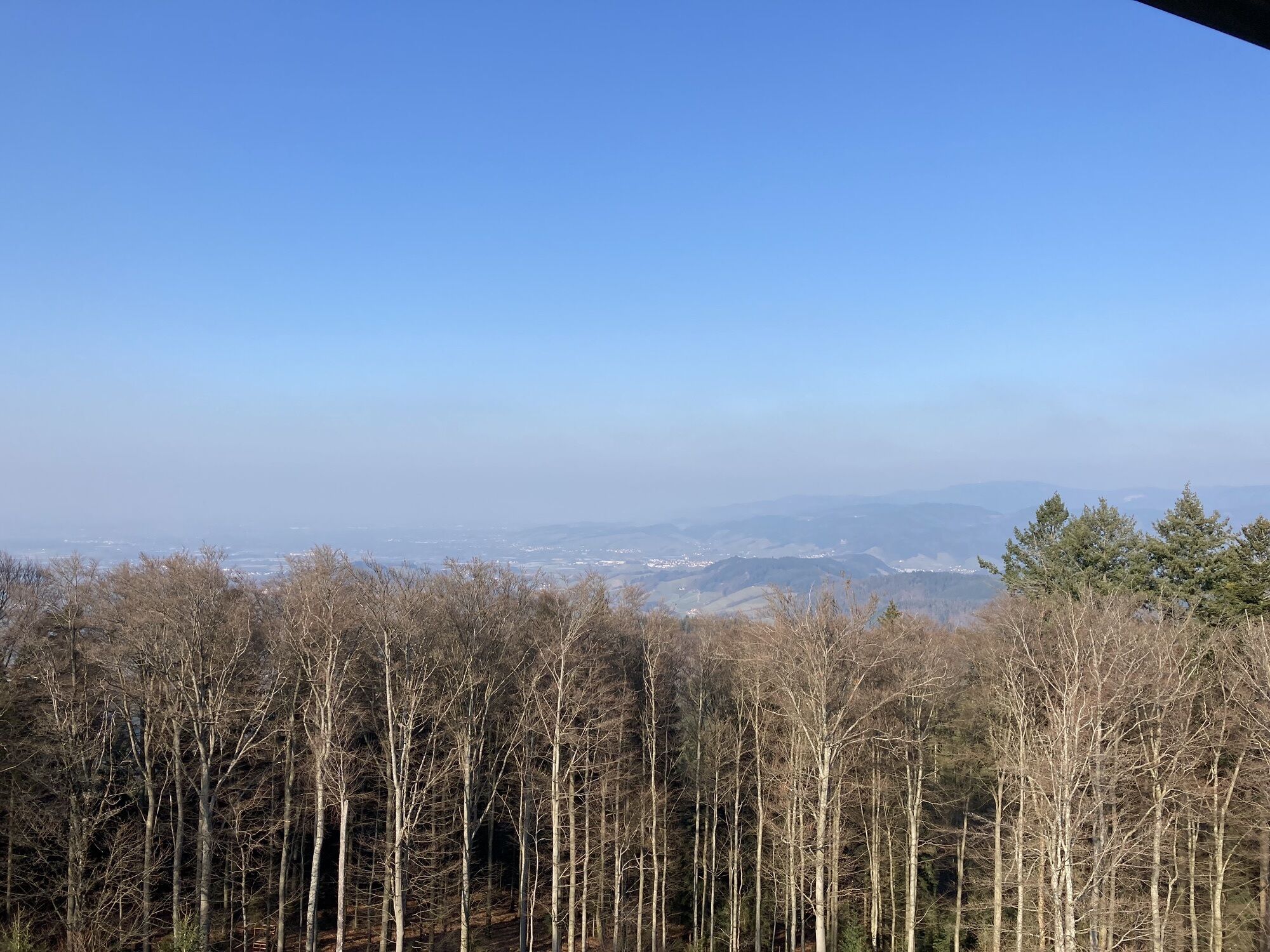
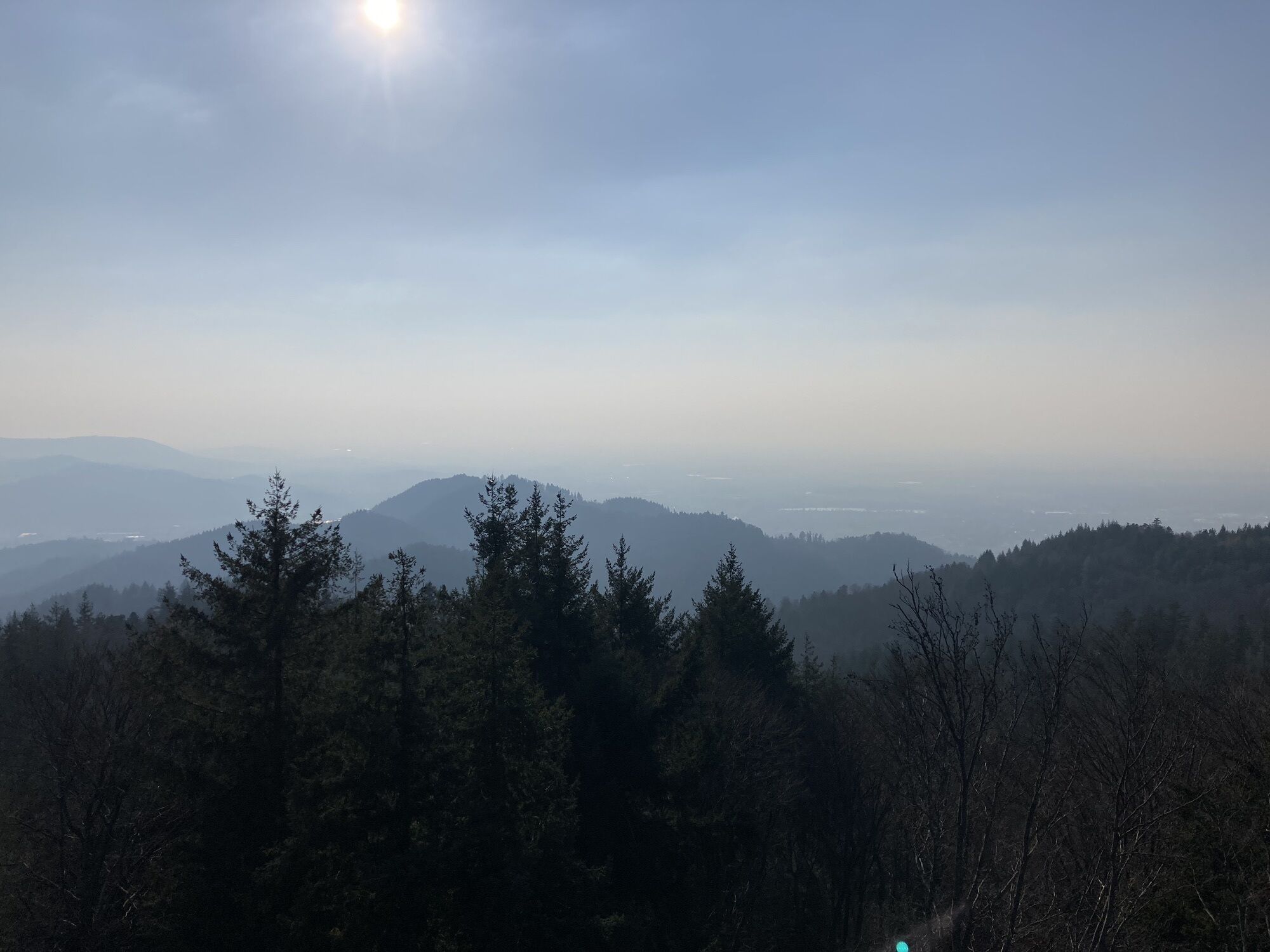
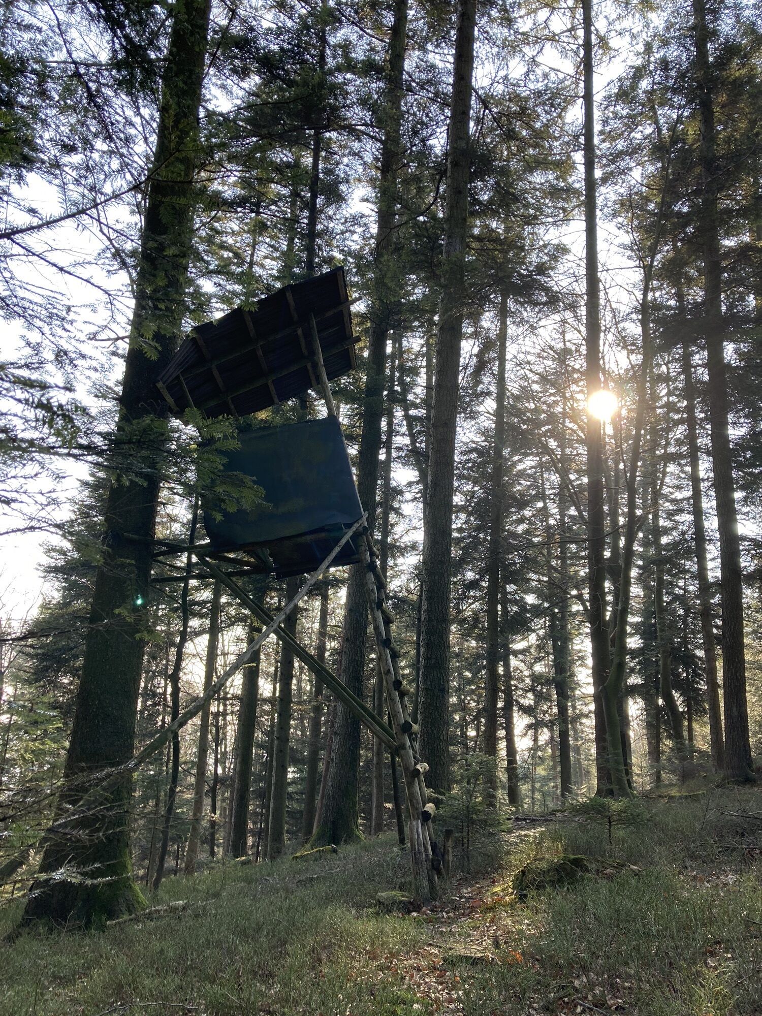
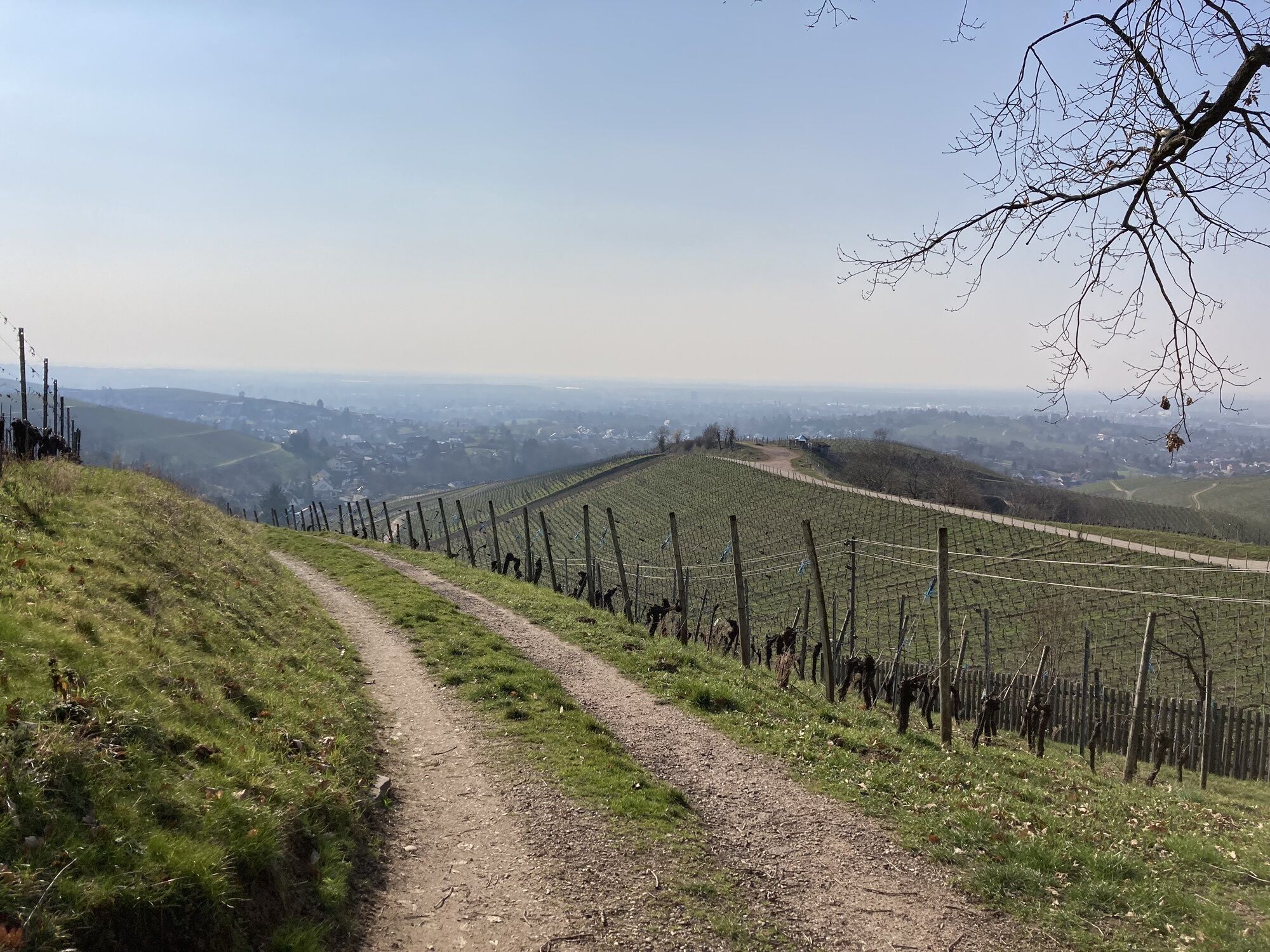
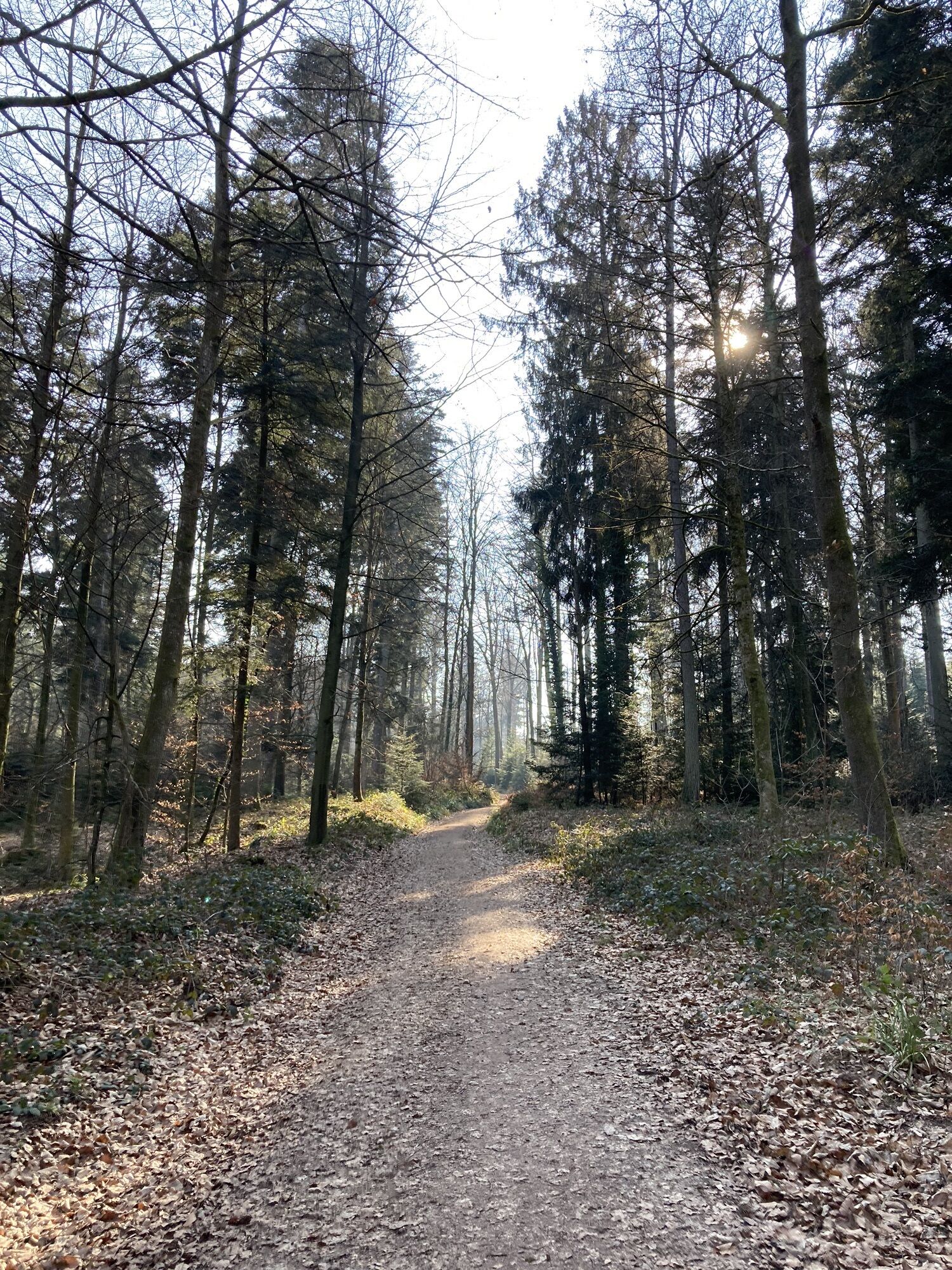
Foto dei nostri utenti
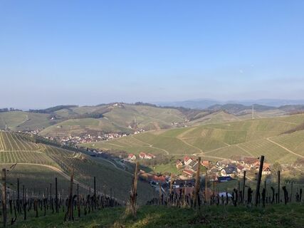
 © Björn GramppCreato il 01.03.2023
 © Björn GramppCreato il 01.03.2023
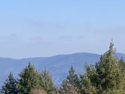 © Björn GramppCreato il 01.03.2023
 © Björn GramppCreato il 01.03.2023
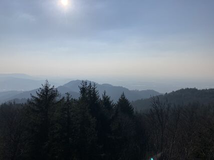 © Björn GramppCreato il 01.03.2023
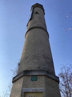 © Björn GramppCreato il 01.03.2023
 © Björn GramppCreato il 01.03.2023
 © Björn GramppCreato il 01.03.2023
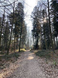 © Björn GramppCreato il 01.03.2023
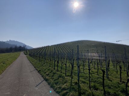 © Björn GramppCreato il 01.03.2023


Percorso
Weingarten Kirche St. Philippus und Jakobus
(187 m)
Luogo di culto
2,8 km
Zell-Weierbach
(218 m)
Quartiere
5,2 km
Kapelle an der Schleif
(241 m)
Luogo di culto
5,3 km
Brandeckkopf
(686 m)
Vertice
10,1 km
Schönstatt Kapelle
(260 m)
Luogo di culto
15,2 km
Urbanskapelle
(222 m)
Luogo di culto
16,4 km
Evangelische Stadtkirche
(166 m)
Luogo di culto
21,2 km
Percorso
Offenburg - Weingarten Kirche St. Philippus und Jakobus - Brandeckkopf - St. Andreas
pesante
Escursionismo
21,67
km
Offenburg
(163 m)
Città
0,1 km
St. Andreas
(169 m)
Luogo di culto
0,1 km
Weingarten Kirche St. Philippus und Jakobus
(187 m)
Luogo di culto
2,8 km
Toter Otto
(226 m)
Tavolo da picnic
4,0 km
Zeller Brugg
(201 m)
Ristorante
4,4 km
Donna Selvatica
(201 m)
Ristorante
4,4 km
Erhardt's Orchidee
(202 m)
Ristorante
4,4 km
Zell-Weierbach
(218 m)
Quartiere
5,2 km
Kapelle an der Schleif
(241 m)
Luogo di culto
5,3 km
Hasengrund
(235 m)
Quartiere
5,5 km
Bergwachtbrunnen
(555 m)
Fonte
8,8 km
Fritscheneck
(565 m)
Corridoio/terreno
9,0 km
Wurzelwegbrunnen
(566 m)
Fonte
9,1 km
Rohrweiherbrunnen
(625 m)
Fonte
9,6 km
Brandeckkopf
(686 m)
Vertice
10,1 km
Absaloms Grab
(638 m)
Corridoio/terreno
10,5 km
Zeller Brunnen
(538 m)
Fonte
11,9 km
Schützenhaus Wolfsgrube
(316 m)
Ristorante
13,8 km
Wolfsgrube
(314 m)
Corridoio/terreno
13,9 km
Schönstatt Kapelle
(260 m)
Luogo di culto
15,2 km
Urbanskapelle
(222 m)
Luogo di culto
16,4 km
Rammersweier
(177 m)
Quartiere
17,5 km
Lindenhöhe
(223 m)
Punto di vista
18,6 km
Evangelische Stadtkirche
(166 m)
Luogo di culto
21,2 km
Offenburg
(163 m)
Città
21,3 km
St. Andreas
(169 m)
Luogo di culto
21,6 km
Ancora nessuna recensione
I tour più popolari nelle vicinanze
- 4,7
Hahn und Henne Tour
medioEscursionismo15,0 km - 4,3
Lautenbacher Hexensteig
pesanteEscursionismo15,3 km - 4,8
Genießerpfad - Hahn-und-Henne-Runde in Zell am Harmersbach (Premiumweg)
medioSentiero tematico14,0 km - 5,0
Lautenbacher Teufelsteig
medioSentiero tematico11,5 km Strada tedesca delle case a graticcio: Haslach im Kinzigtal – Sasbachwalden
medioBicicletta66,8 km- 4,5
Oberkircher Brennersteig
medioEscursionismo13,8 km Renchtal Radtour 3 - Genußtour durch das Renchtal
pesanteBicicletta35,6 kmRenchen - Zur Schauenburg nach Oberkirch
medioMountainbike27,8 kmRenchtal - Literarischer Radweg Grimmelshausen
medioBicicletta47,4 kmHistorischer Stadtbummel in Oberkirch
luceEscursionismo5,74 km

Escursioni e tracking

Oltre 550.000 proposte di escursioni, mappe dettagliate e un intuitivo pianificatore di itinerari rendono l'app un must per tutti gli appassionati di natura.

Non perdete le offerte e le ispirazioni per le vostre prossime vacanze
Iscriviti alla newsletter
Errore
Si è verificato un errore. Si prega di riprovare.Grazie per la vostra registrazione
Il vostro indirizzo e-mail è stato aggiunto alla mailing list.
Tour in tutta Europa
Austria Svizzera Germania Italia Slovenia Francia Paesi Bassi Belgio Polonia Liechtenstein Repubblica Ceca Slovacchia Spagna Croazia Bosnia ed Erzegovina Lussemburgo Andorra Portogallo Islanda Regno Unito Irlanda Grecia Albania Macedonia del Nord Malta Norvegia Montenegro Moldavia Kosovo Ungheria San Marino Romania Estonia Lettonia Bielorussia Cipro Lituania Serbia Bulgaria Monaco Danimarca Svezia Finlandia