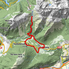
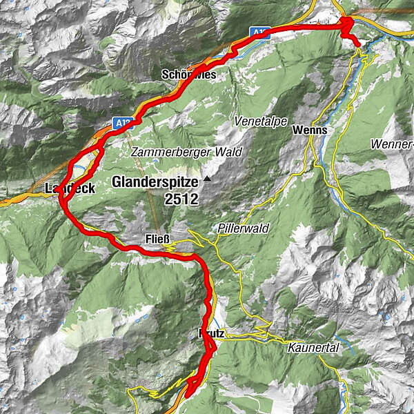
Dati percorsi
79,34km
711
- 888m
906hm
898hm
-
- Difficoltà
-
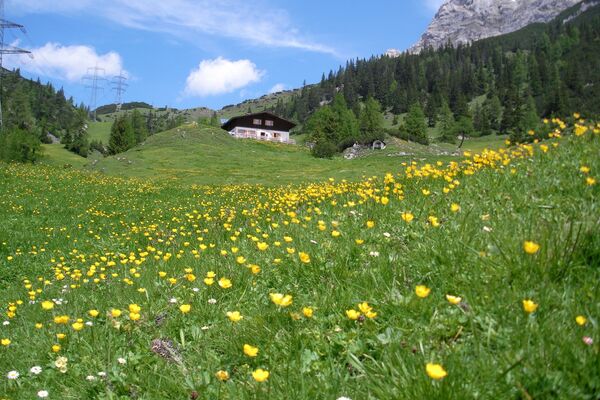
facile
- Valutazione
-
- La stagione migliore
-
genfebmaraprmaggiulugagosetottnovdic
- Punto più alto
- 888 m


GPS Downloads


Altri tour nelle regioni
-
Tirol West
245
-
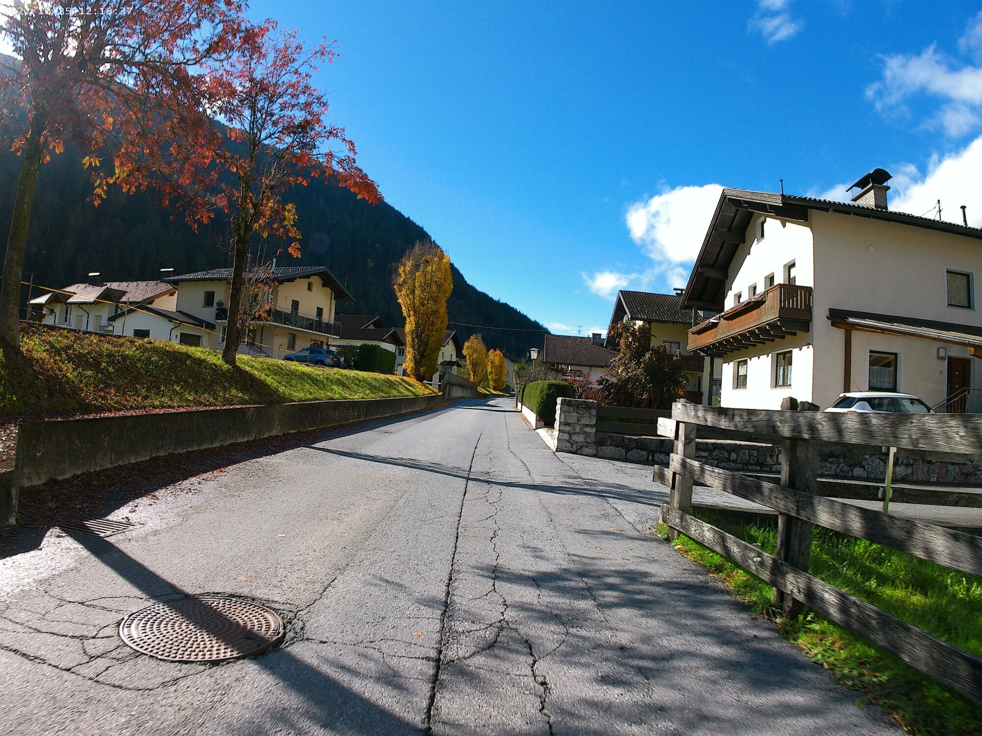
Schönwies bei Imst
54