Irchel: Rundwanderung mit Sonne und Schatten am Irchel zwischen Tösstal und Weinland

Escursionismo

© Outdooractive Redaktion - Albert Rinn
© Wikipedia
© Wikipedia
© Outdooractive Redaktion - Albert Rinn
© Outdooractive Redaktion - Albert Rinn

- Descrizione rapida
-
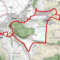
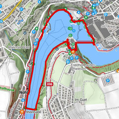
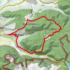
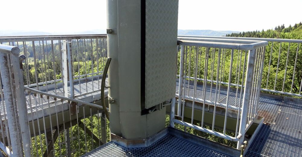
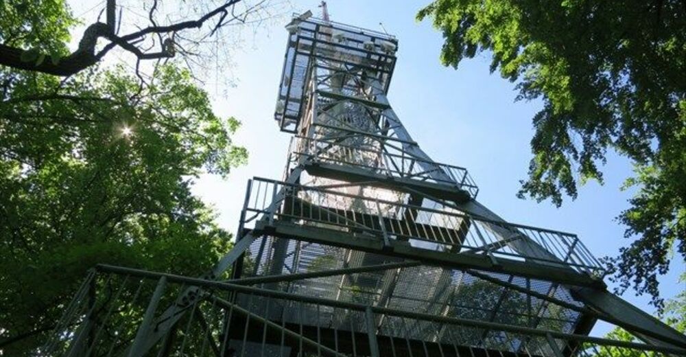
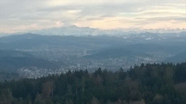
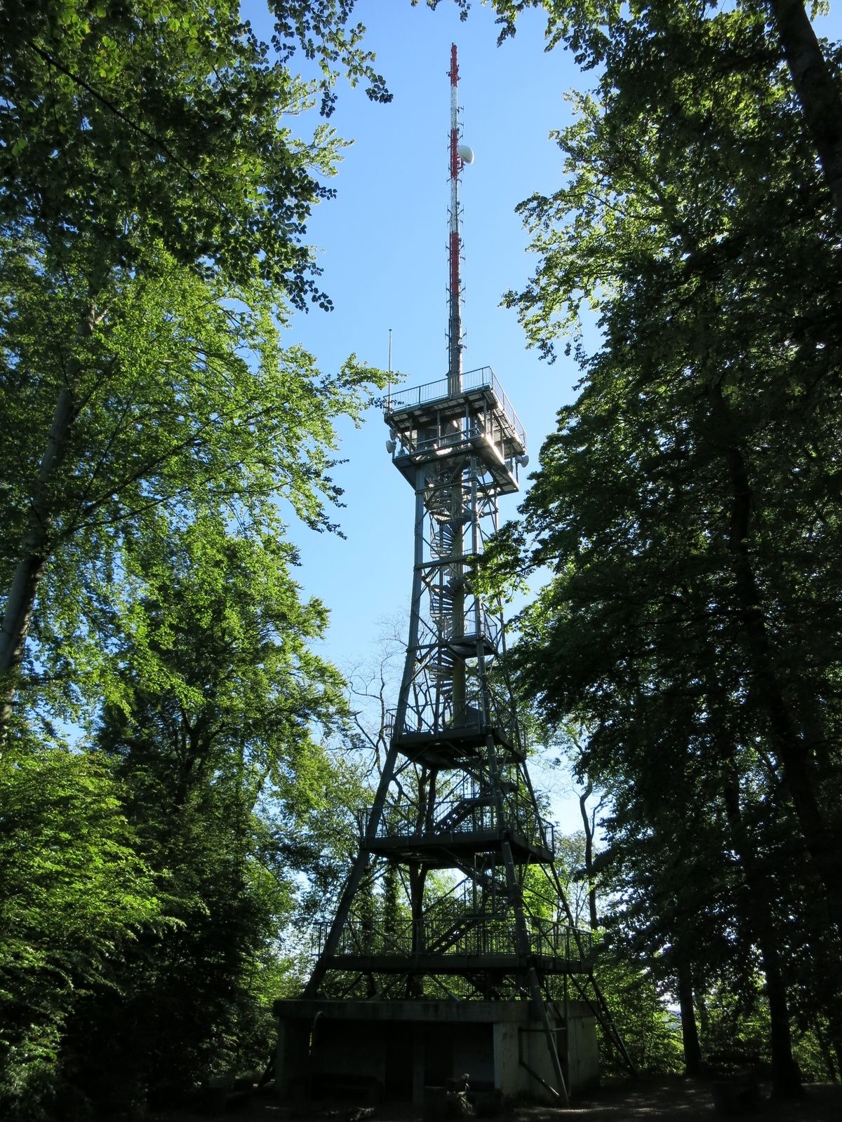
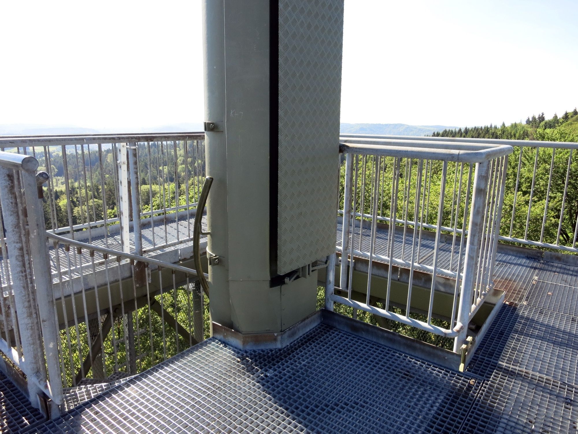
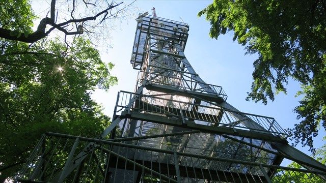
Abwechslungsreiche Wanderung zwischen den kleinen Rebbergen und Waldstücken entlang und über Wiesen mit Obstbäumen am Südosthang des Irchels. Die Irchelebni lädt zum Verweilen und Aussichtsgenießen ein.
- Difficoltà
-
intermedio
- Valutazione
-
- Percorso
-
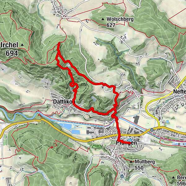
Pfungen (412 m)0,0 kmKirche St. Pirminius0,4 kmMittlerhueb2,3 kmOberhueb2,6 kmDättlikon (386 m)7,1 kmBlumetshalde8,1 kmKirche St. Pirminius9,6 kmPfungen (412 m)9,9 kmPfungen (412 m)10,1 km
- La stagione migliore
-
genfebmaraprmaggiulugagosetottnovdic
- Punto più alto
- 684 m
- Destinazione
-
Pfungen
- Profilo altimetrico
-
 © outdooractive.com
- Autore
-
Il tour Irchel: Rundwanderung mit Sonne und Schatten am Irchel zwischen Tösstal und Weinland è utilizzato da outdooractive.com fornito.
GPS Downloads


Info generali
Promettente
Altri tour nelle regioni
-
SchaffhauserLand
1027
-
Zürcher Unterland
556
-
Dättlikon
87