- Difficoltà
-
facile
- Valutazione
-
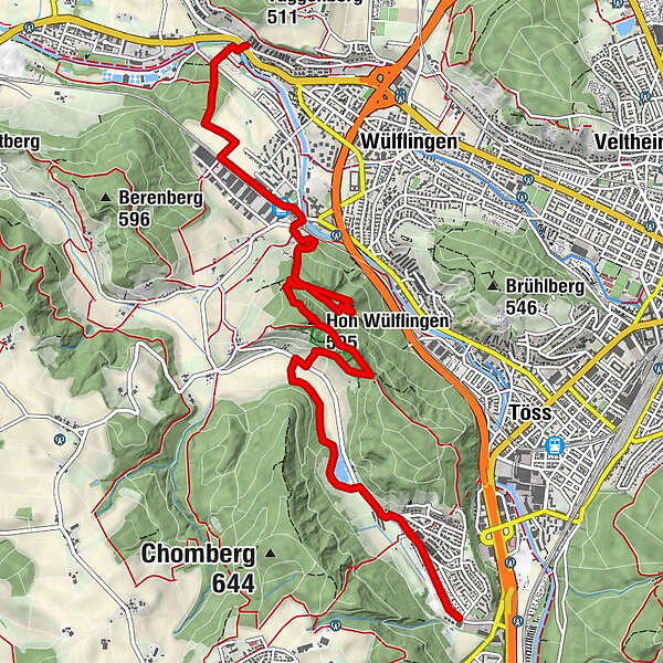
- Percorso
-
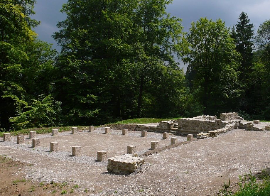
Ziegelhütte0,1 kmTal2,7 kmWinterthur (439 m)3,5 kmHoh Wülflingen (595 m)4,0 kmSchuppentännlihöhle4,1 kmTössrain6,2 kmWinterthur Wülflingen (422 m)6,6 kmHard8,4 km
- Punto più alto
- 583 m
- Profilo altimetrico
-
 © outdooractive.com


- Autore
-
Il tour Vom Eiszeitwald zur Spinnerei è utilizzato da outdooractive.com fornito.
GPS Downloads


Altri tour nelle regioni
-
SchaffhauserLand
1027
-
Zürcher Weinland
521
-
Brütten
99