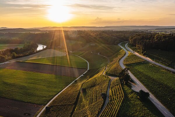
© Zürcher Weinland - Alberto Cortes
- Percorso
-
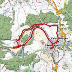
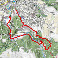
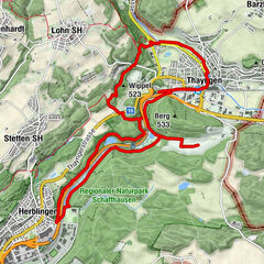
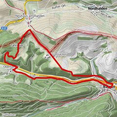
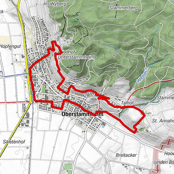
Stammheim (433 m)La Stazione0,0 kmAdler0,5 kmGemeindehausplatz0,6 kmUnterstammheim0,6 kmRef. Kirche Unterstammheim0,8 kmGalluskapelle3,0 kmGasthof zum Hirschen4,8 kmOberstammheim5,0 kmStammheim5,9 kmStammheim (433 m)6,1 kmUnterstammheim6,1 kmLa Stazione6,1 km
- La stagione migliore
-
genfebmaraprmaggiulugagosetottnovdic
- Punto più alto
- 499 m
- Destinazione
-
Bahnhof Stammheim
- Profilo altimetrico
-
 © outdooractive.com
- Autore
-
Il tour Energiepfad è utilizzato da outdooractive.com fornito.
GPS Downloads


Altri tour nelle regioni
-
SchaffhauserLand
1026
-
Stein am Rhein
521
-
Stammheim ZH
128