- Descrizione rapida
-
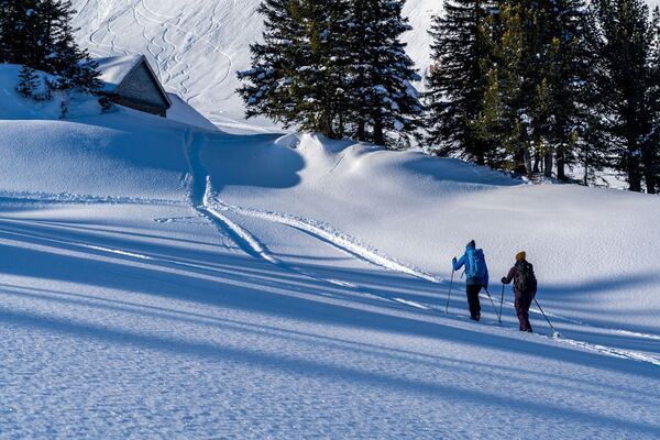
In ständigem Auf und Ab folgt diese Route dem Tösstal. Die Tour erscheint mit ihren 15 km vielleicht etwas lang, jedoch ist sie landschaftlich abwechslungsreich und bietet einige Einkehrmöglichkeiten. Zudem kann die Tour erweitert oder abgekürzt werden.
- Difficoltà
-
difficile
- Valutazione
-
- Percorso
-
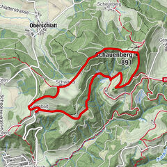
Fischenthal (734 m)Linde0,0 kmGasthaus Blume0,3 kmOberhof0,3 kmFischtel0,8 kmTannen2,2 kmHüttchopf (1.232 m)4,3 kmAlp Scheidegg5,5 kmScheidegg (1.197 m)5,5 kmWolfsgrueb (972 m)7,0 kmMarchstein7,3 kmSchwarzenberg (1.286 m)10,0 kmFarneralp11,0 kmBergrestaurant Farneralp11,0 kmChrinnenboden11,9 kmWald (615 m)16,9 km
- La stagione migliore
-
agosetottnovdicgenfebmaraprmaggiulug
- Punto più alto
- 1.284 m
- Destinazione
-
Wald, Bahnhof
- Profilo altimetrico
-
 © outdooractive.com

-

-
AutoreIl tour Fischenthal – Poo-Alp – Wald: «Grattour» è utilizzato da outdooractive.com fornito.
GPS Downloads


Info generali
Punto di ristoro
Altri tour nelle regioni
-
Toggenburg
83
-
Goldingen - Atzmännig
53
-
Wald ZH
7