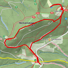
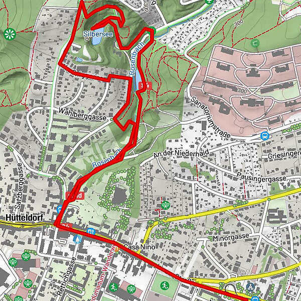
Dati percorsi
4,26km
220
- 316m
49hm
58hm
01:03h
- Descrizione rapida
-
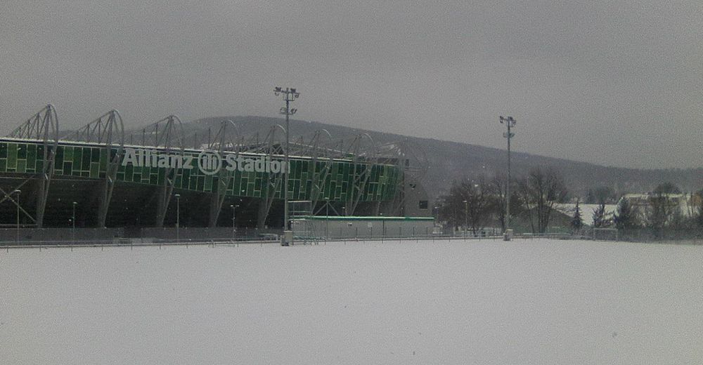
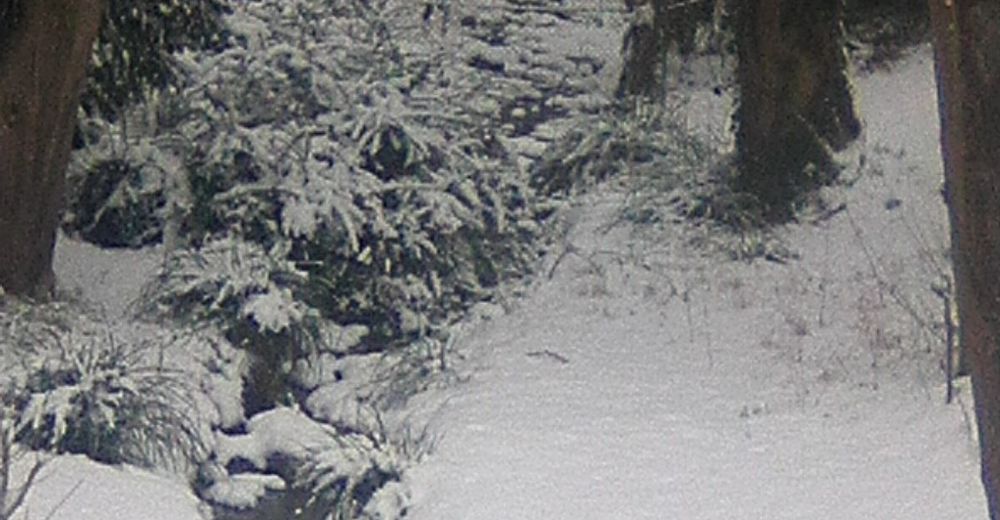
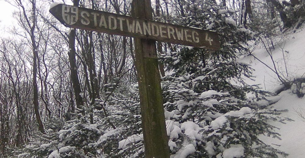
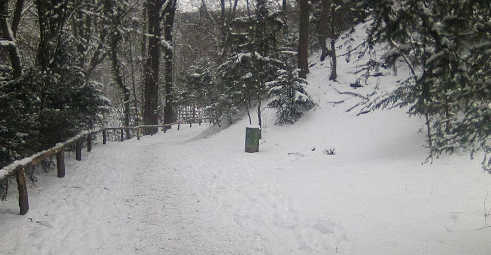
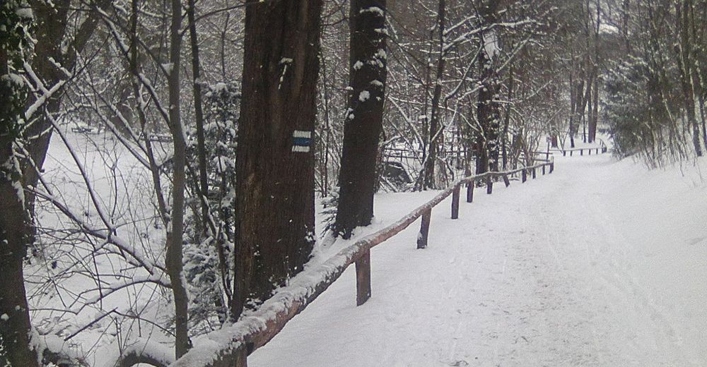
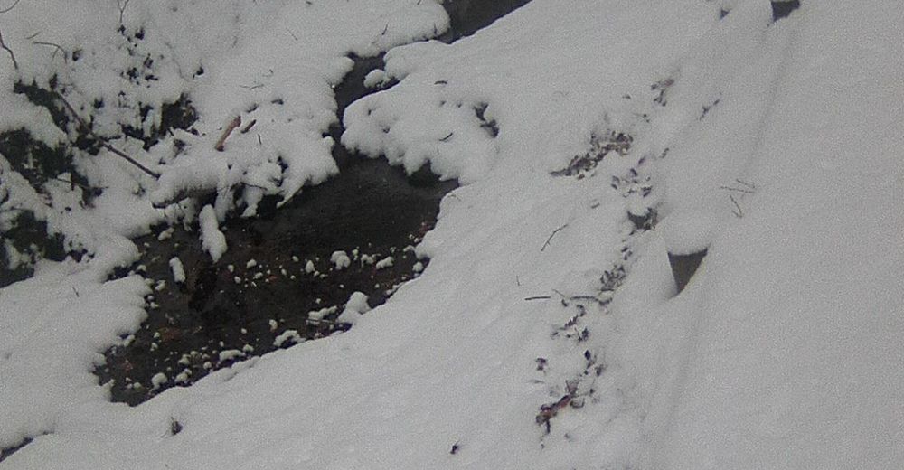
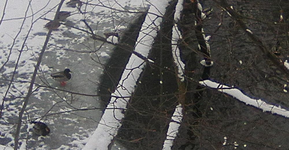
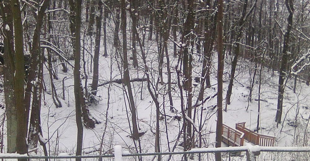
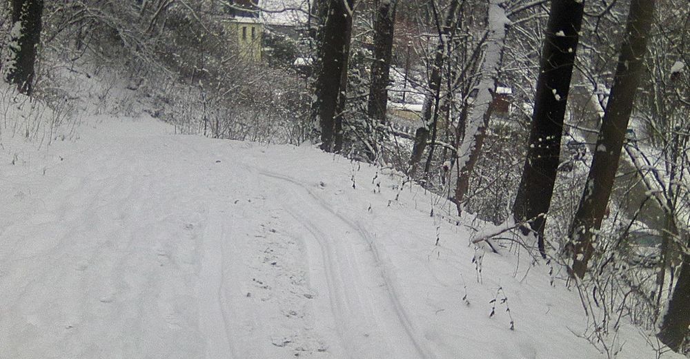
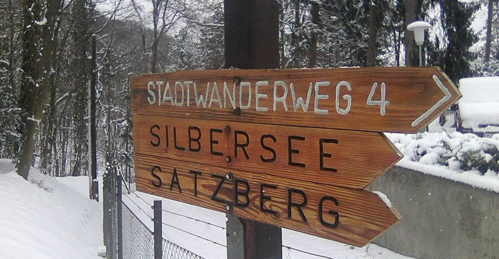
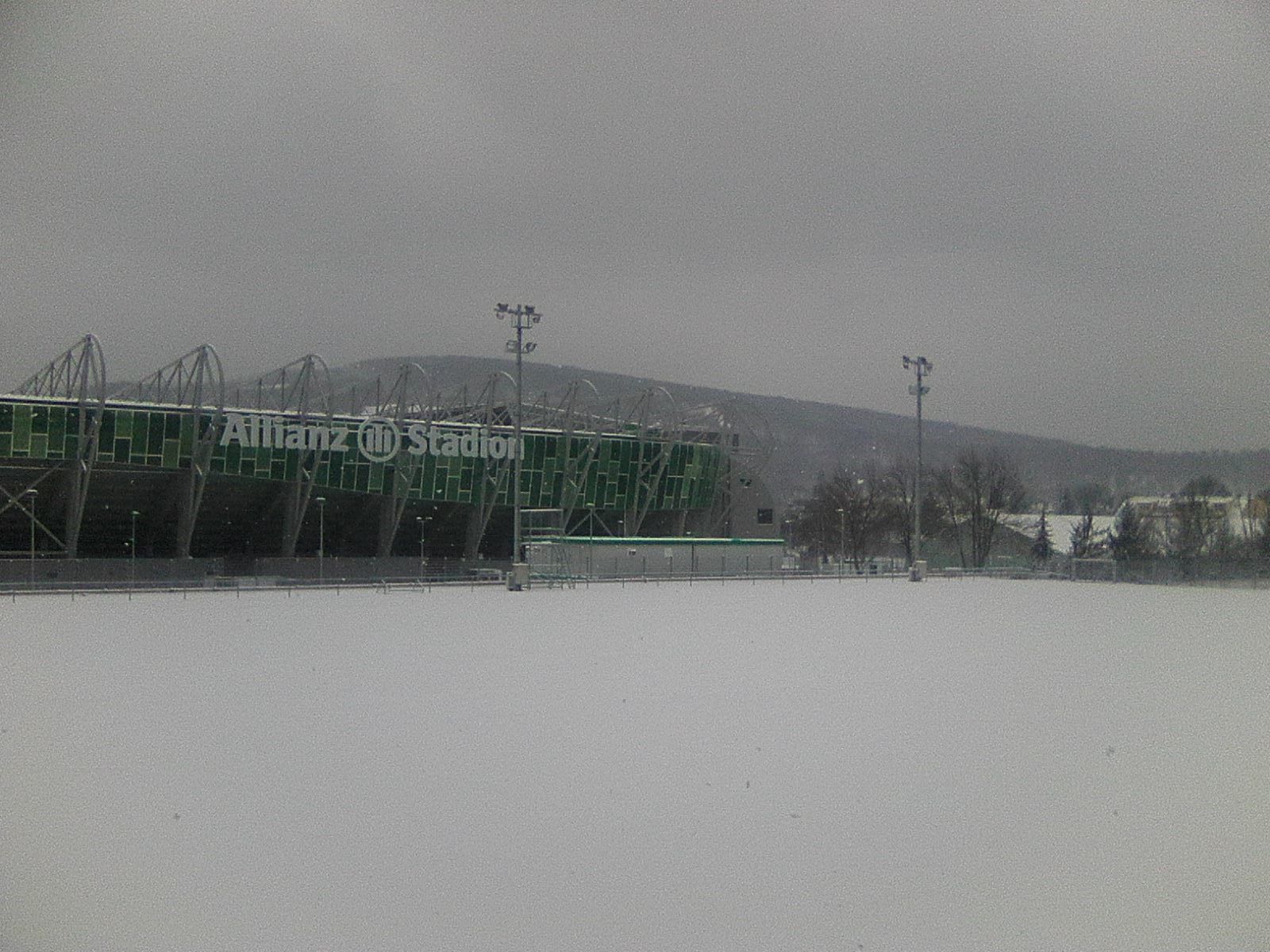
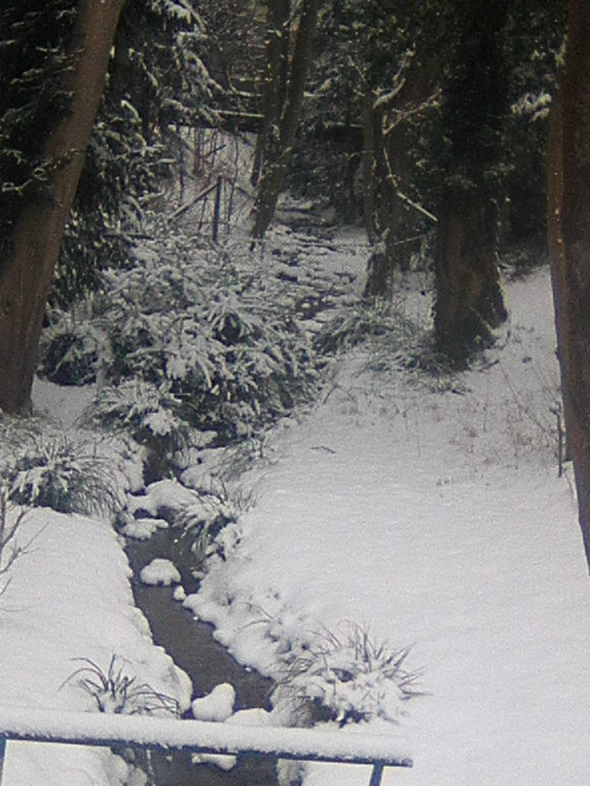
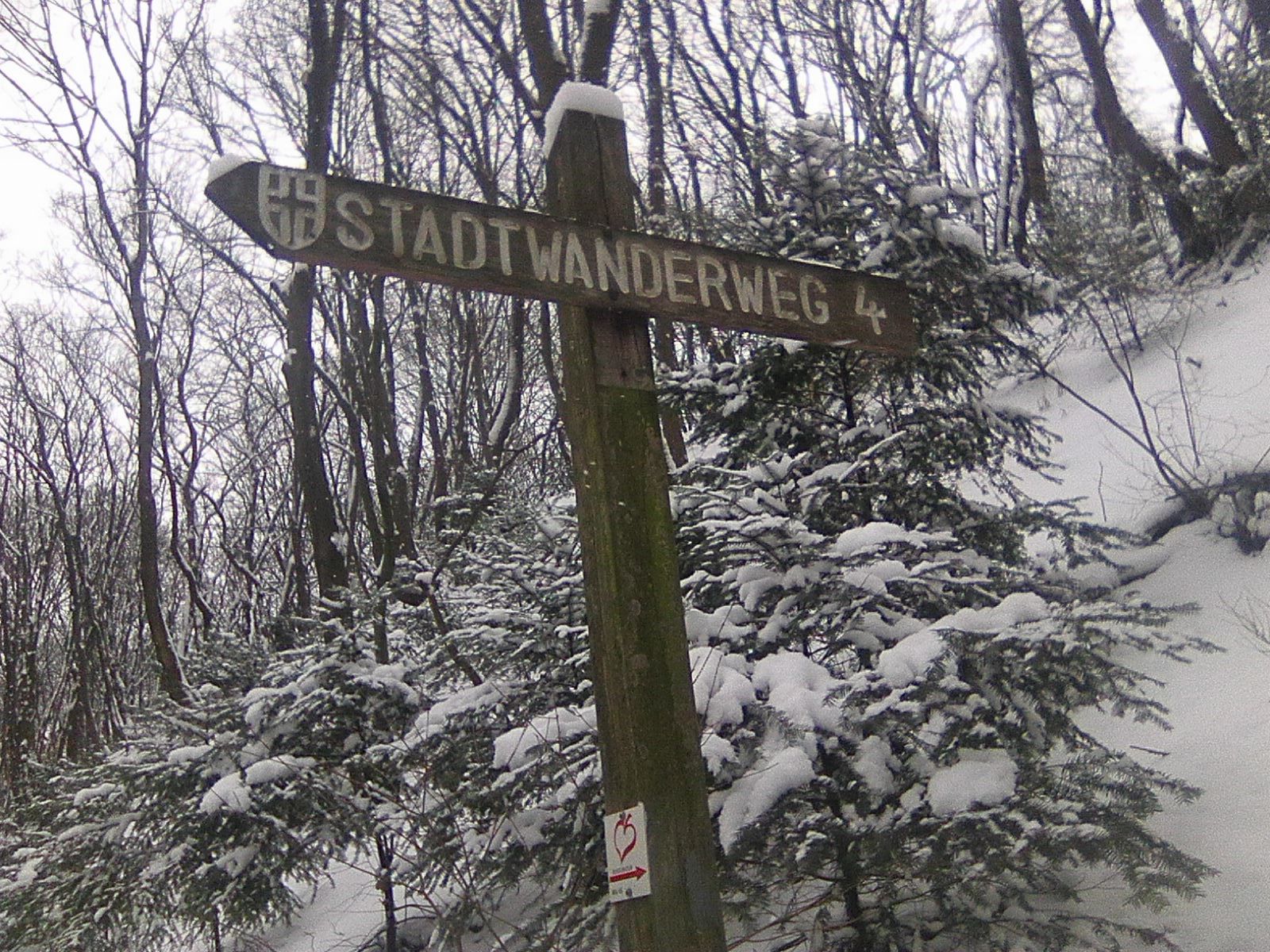
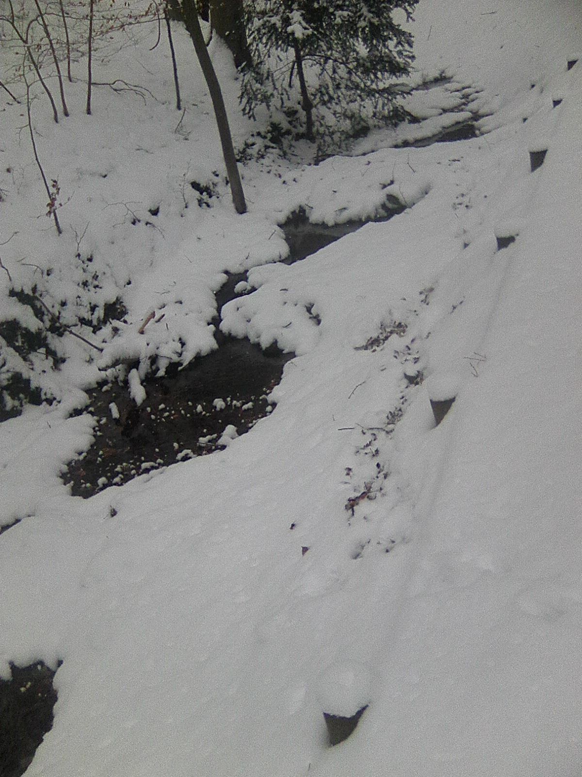
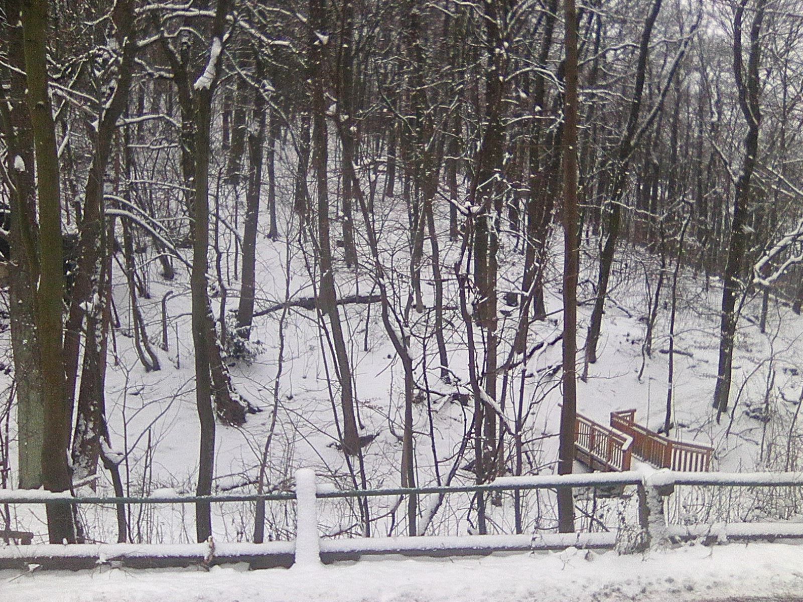
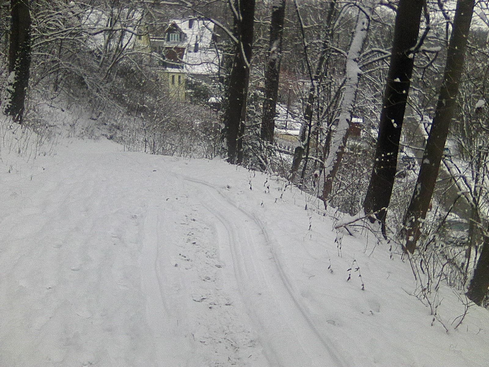
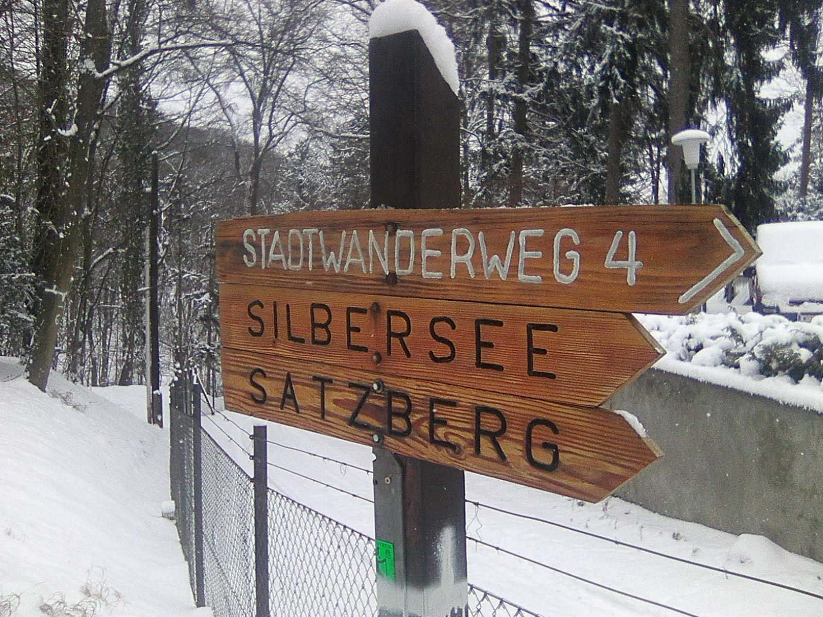
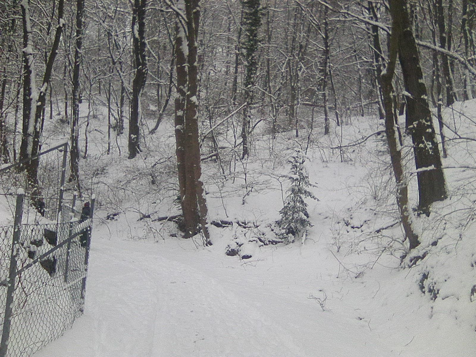
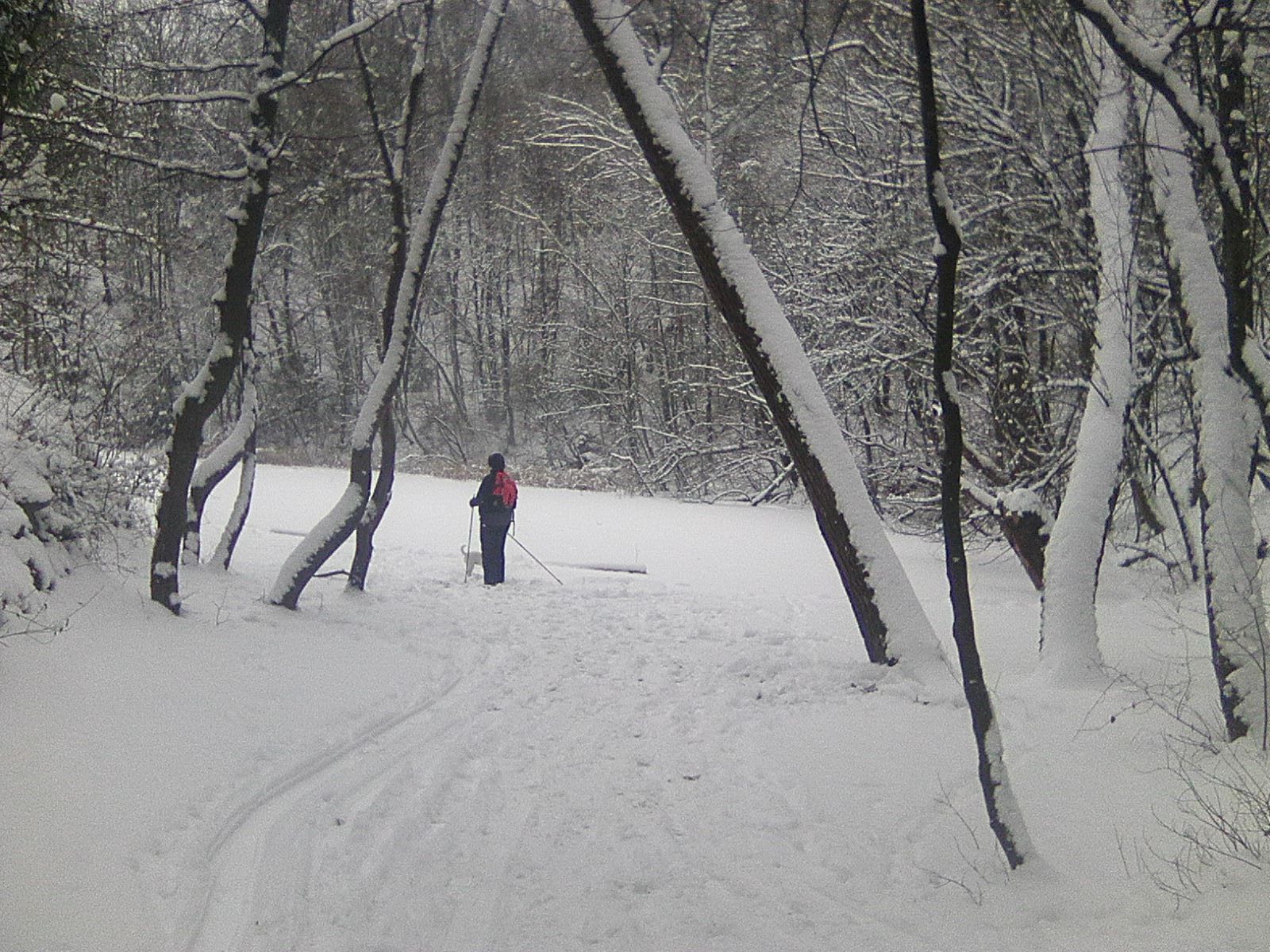
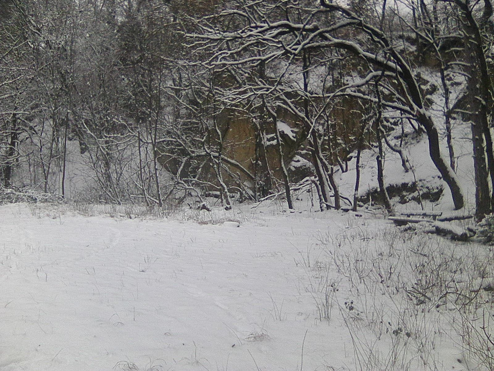
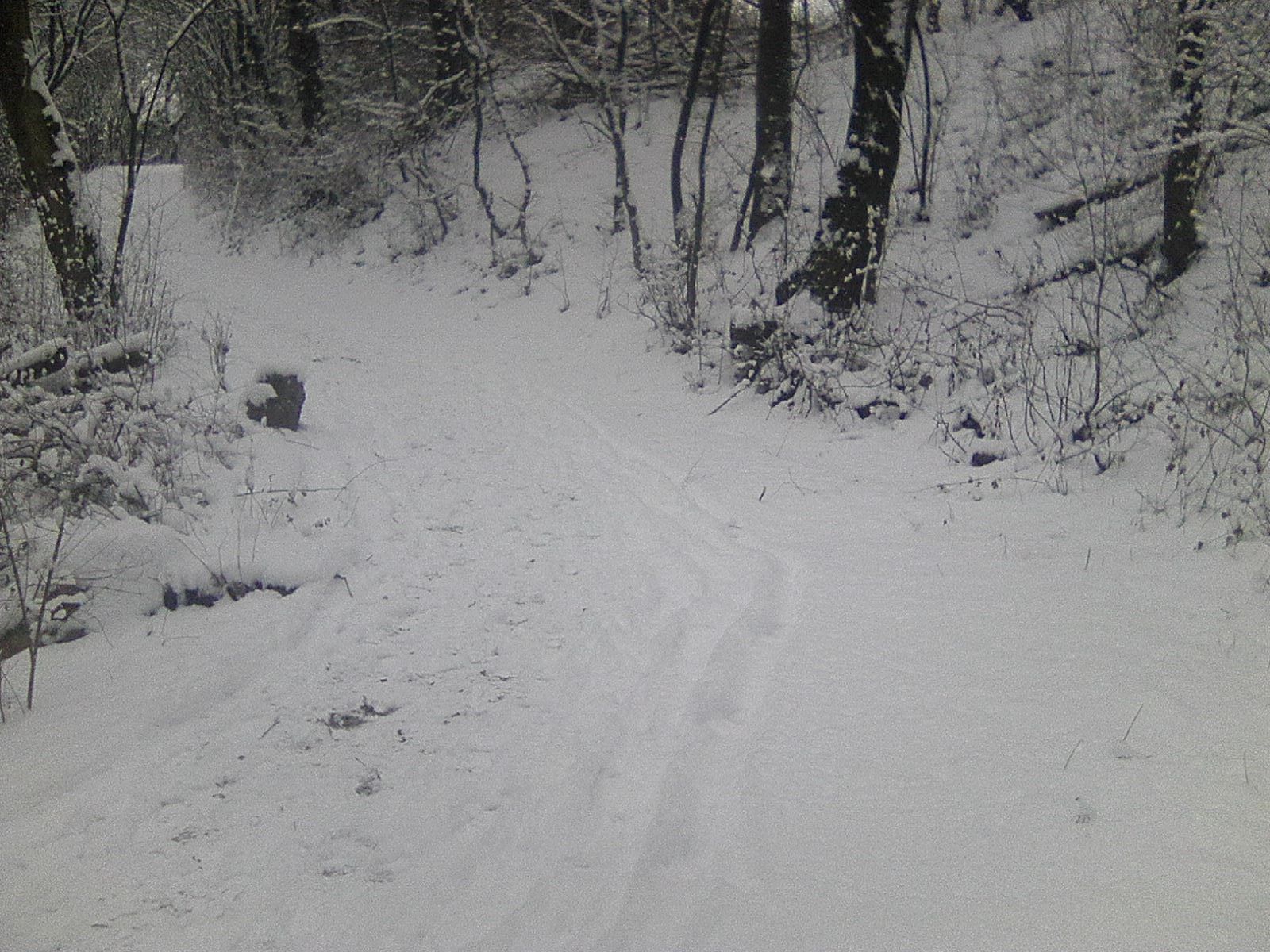
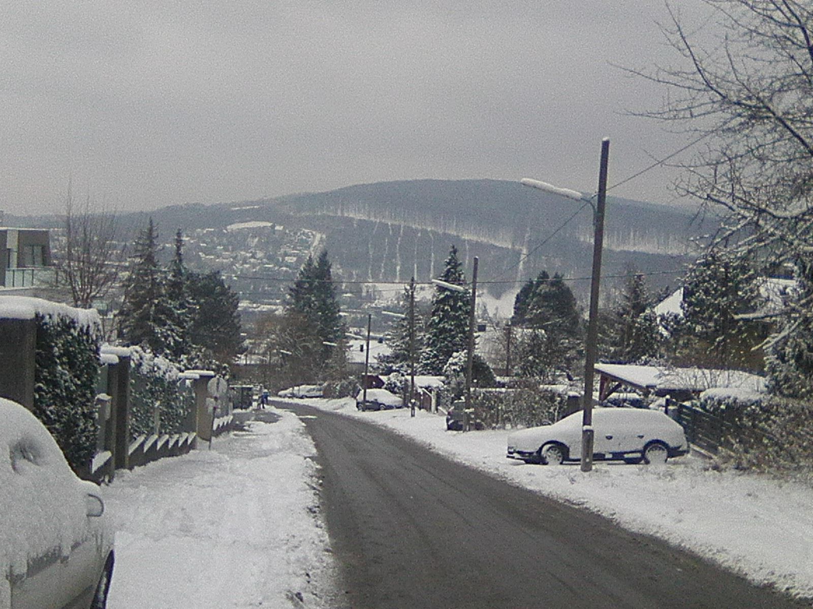
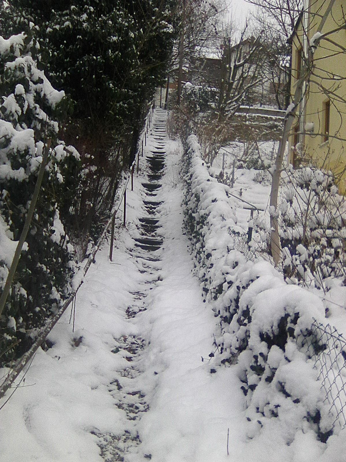
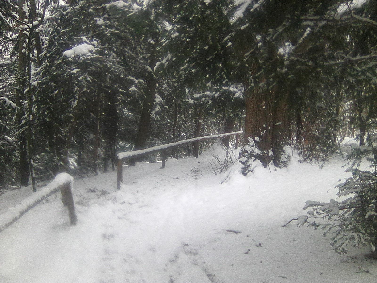
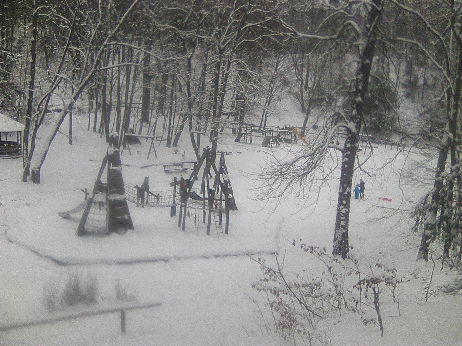
Beim 1.Schnee Jänner2017 im 14.Bezirk/Wien unterwegs
- Difficoltà
-
facile
- Valutazione
-
- Punto di partenza
-
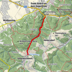
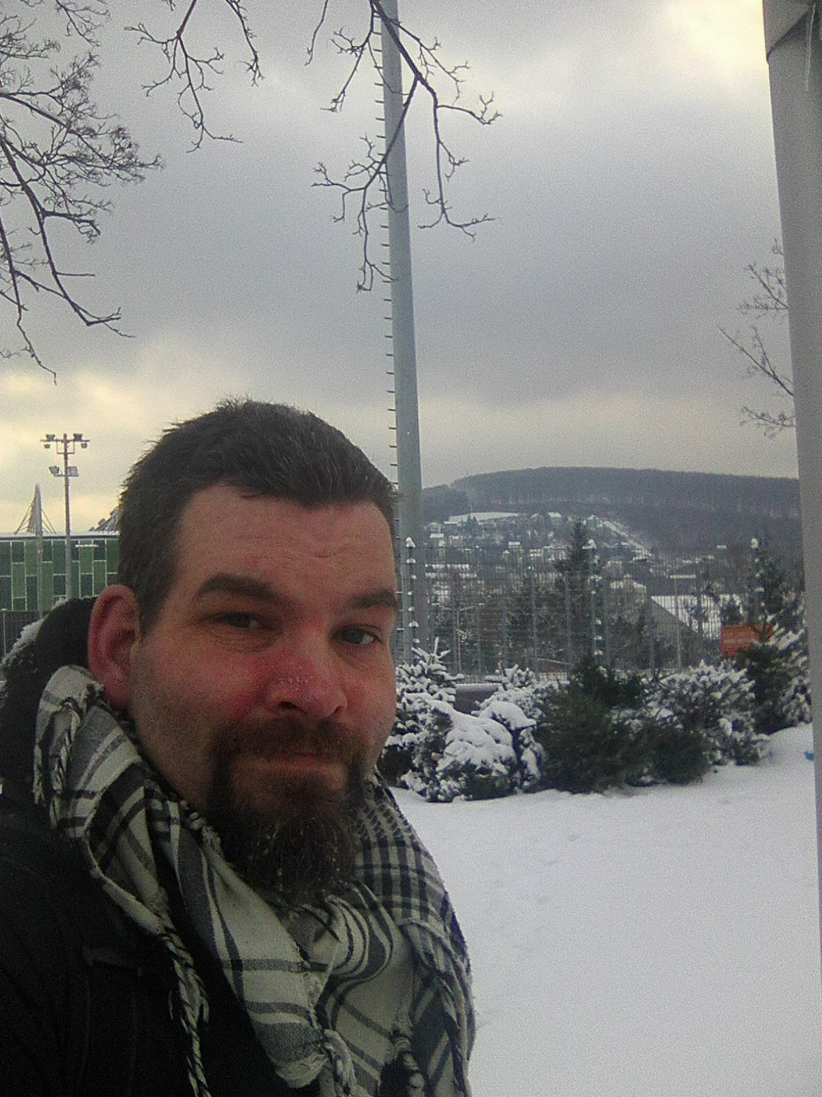
Baumgartner Spitz
- Percorso
-
Vienna (542 m)Hütteldorf3,9 km
- La stagione migliore
-
genfebmaraprmaggiulugagosetottnovdic
- Punto più alto
- 316 m
- Destinazione
-
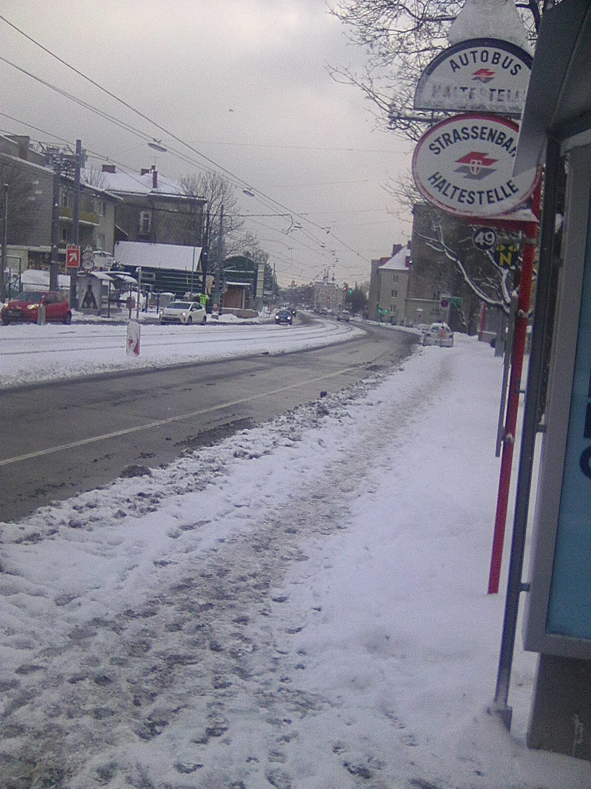
Linzerstraße, Straßenbahn 49
- Riposo/Ritiro
-
kleines Schutzhaus
- Cartine
-
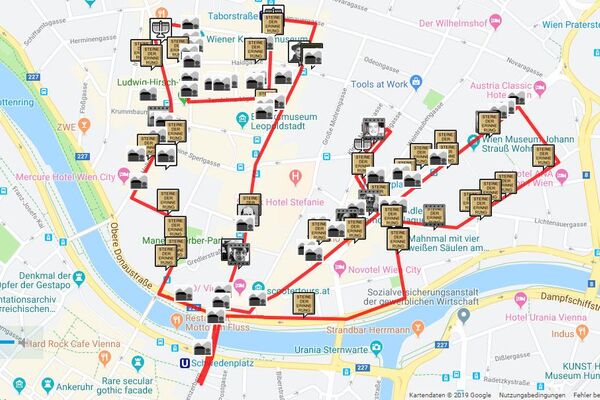
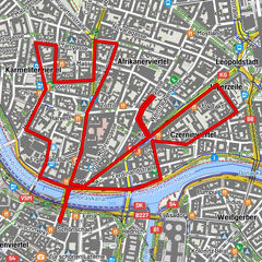
Stadtplan Wien-West


GPS Downloads


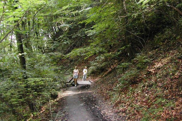
Condizioni dei sentieri
Asfalto
Ghiaia
Prato
Foresta
Roccia
Esposta
Altri tour nelle regioni
-
Wienerwald
4218
-
Wien und Umgebung
2481
-
Hohe Wand Wiese
1191