Dati percorsi
23,53km
173
- 514m
684hm
728hm
05:52h
- Descrizione rapida
-
Weitwanderung in Wien
- Difficoltà
-
intermedio
- Valutazione
-
- Percorso
-
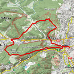
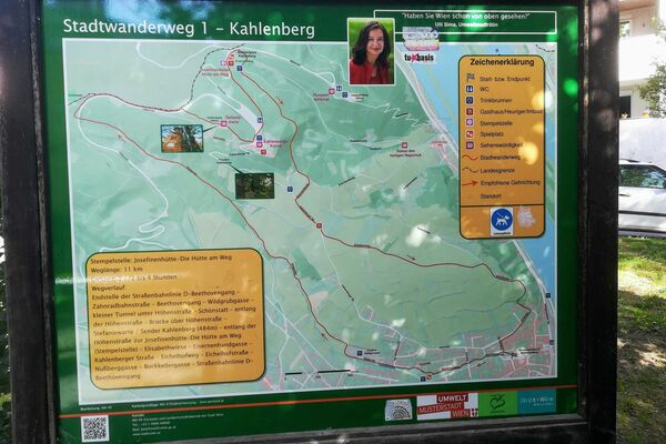
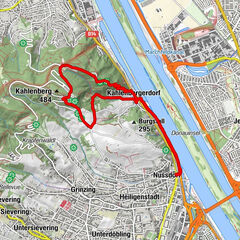
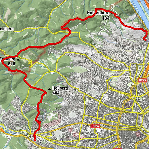
Wien HütteldorfHütteldorf0,5 kmSchottenhof5,6 kmGasthaus Rieglerhütte7,9 kmSophienalpe8,8 kmRosskopf (507 m)9,2 kmMoschingerberg (490 m)10,2 kmHameau (465 m)11,7 kmZwei Gehängte (447 m)12,2 kmZwei Gehängte12,9 kmDreimarkstein (454 m)13,3 kmHäuserl am Roan13,3 kmGrüass Di a Gott Wirt14,2 kmHermannskogel (544 m)15,8 kmGasthaus zum Agnesbrünnl16,3 kmVogelsangberg (516 m)17,1 kmHandleinsberg (495 m)17,4 kmGnadenkapelle18,0 kmKahlenberg (484 m)19,4 kmJosefsdorf19,6 kmNußberg (342 m)20,9 kmNussdorf23,4 kmVienna (542 m)23,5 km
- La stagione migliore
-
genfebmaraprmaggiulugagosetottnovdic
- Punto più alto
- 514 m
GPS Downloads


Altri tour nelle regioni
-
Wienerwald
4213
-
Wien und Umgebung
2478
-
Klosterneuburg
1038