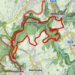
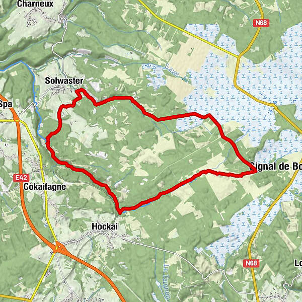
Solwaster(La Statte - Hoegne) Haut Fagne

Escursionismo
Mappa
Nascondere mappa
Stampa
Dati percorsi
18,79km
365 - 633m
Distanz
602hm
602hm
L'ascesa
04:03h
 
Durata
Descrizione rapida

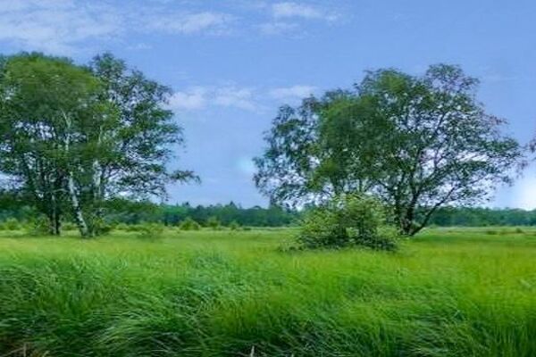
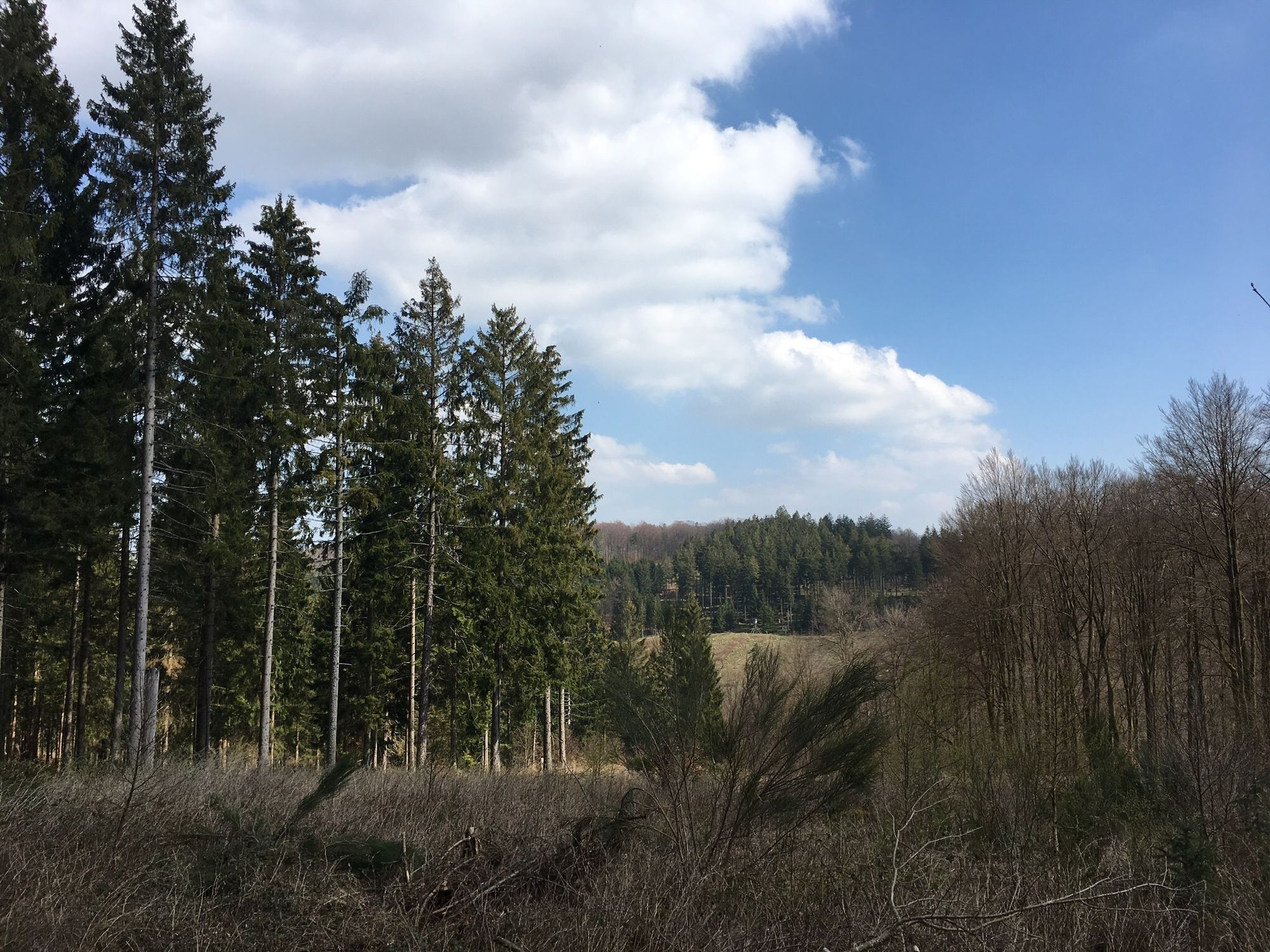
Vanaf Soulwaster via de rivier ‘La Statte’ naar Baraque Michel en terug langs de rivier ‘Hoegne’ door dichte bossen.

Difficoltà
intermedio
Valutazione
Tecnica
Forma fisica
Panorama
Avventura / Esperienza
Percorso
Chafour
Cascade des Nutons
1,7 km
Trou du Loup
10,9 km
Les Cascatelles
12,9 km
Cascade Léopold II
15,0 km
Cascade Marie-Henriette
15,2 km
Belleheid
16,1 km
Chalet du pont de belleheid
16,1 km
Luxemme
17,7 km
Solwaster
18,5 km
Chafour
18,7 km

La stagione migliore
gen
feb
mar
apr
mag
giu
lug
ago
set
ott
nov
dic
Punto più alto
633 m
Valutazione 5,0
1 Valutazione
La mia recensione:
GPS Downloads
  • GPX GPS Exchange Format (XML)
  • KML Google Earth, Google Maps
Codici di download QR per telefoni cellulari
Altri tour nelle regioni

Tour popolari della zona

Westwall – Hexenplatz Runde von Simmerath

intermedio Escursionismo
11,58km | 82hm | 03:05h

Von Roetgen ins Hohe Venn

intermedio Escursionismo
14,54km | 189hm | 04:30h

Wasser, Wolle, Schiefersteine

intermedio Escursionismo
13,32km | 295hm | 03:18h

Eichenwälder -...

intermedio Escursionismo
7,72km | 216hm | 02:30h
Nessuna voce trovata.
Sono state trovate %count% voci. Si prega di affinare la ricerca.
Risultati della ricerca locale (Distanza <= 25km)
Altri risultati di ricerca (Distanza > 25km)
Tutti %count% Risultati della ricerca
%name% %region%
%type% %elevation%