Dati percorsi
16,29km
411
- 654m
589hm
589hm
05:24h
- Descrizione rapida
-
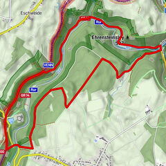
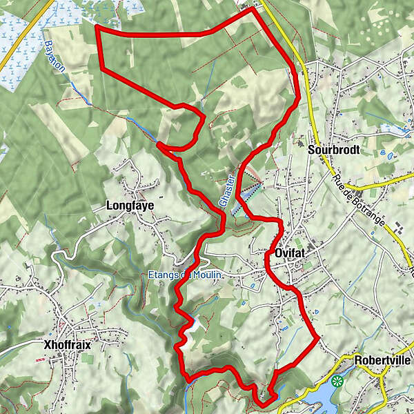
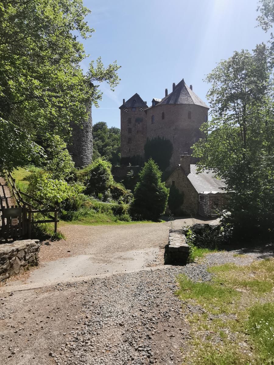
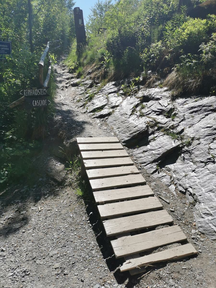
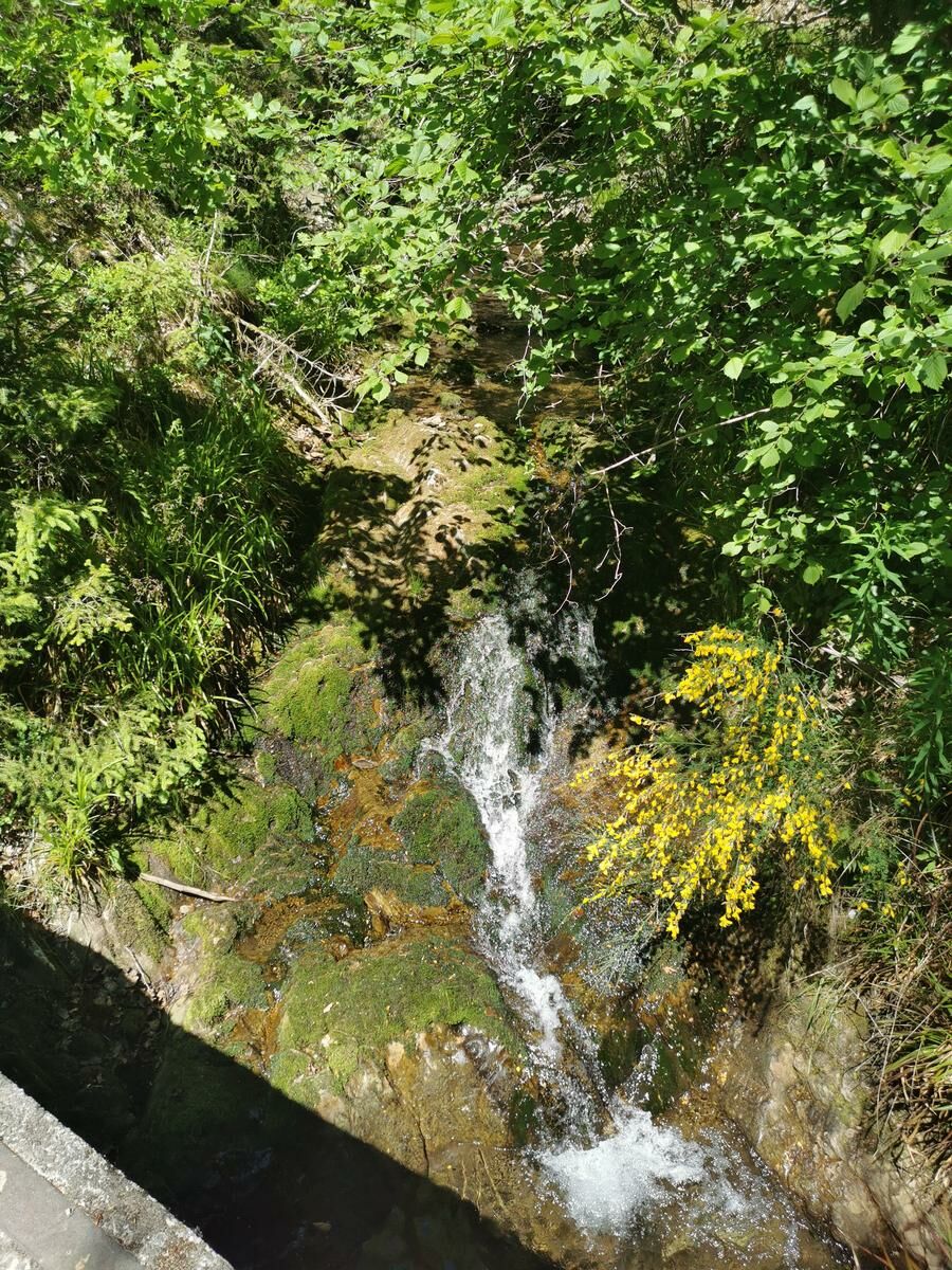
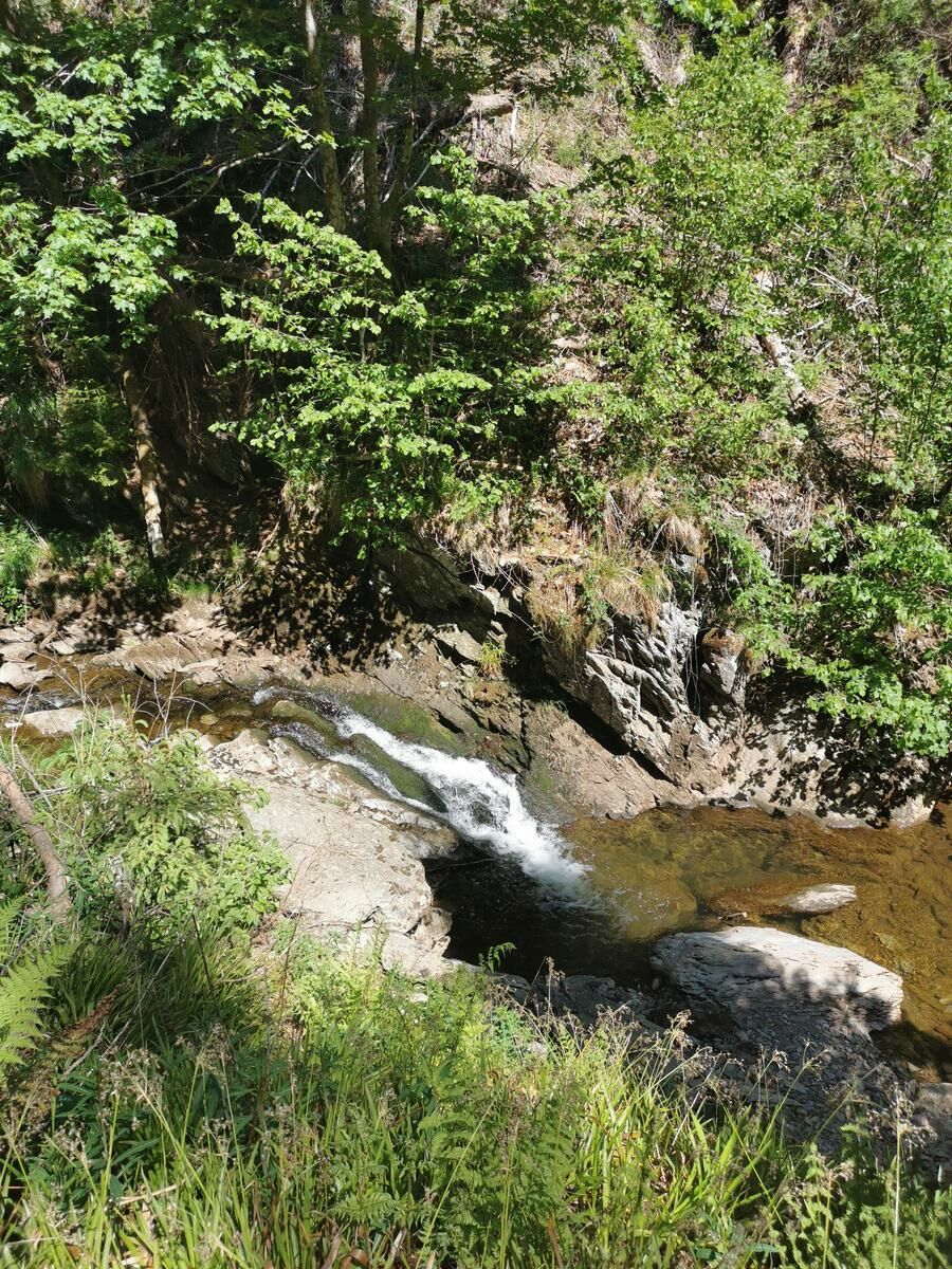
Prachtige wandeling in de Hoge Venen. U passeert de Baheyon-waterval en vervolgt uw weg naar het weelderige kasteel Reinhardstein.
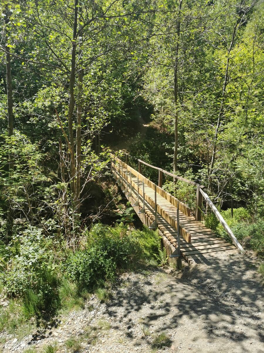
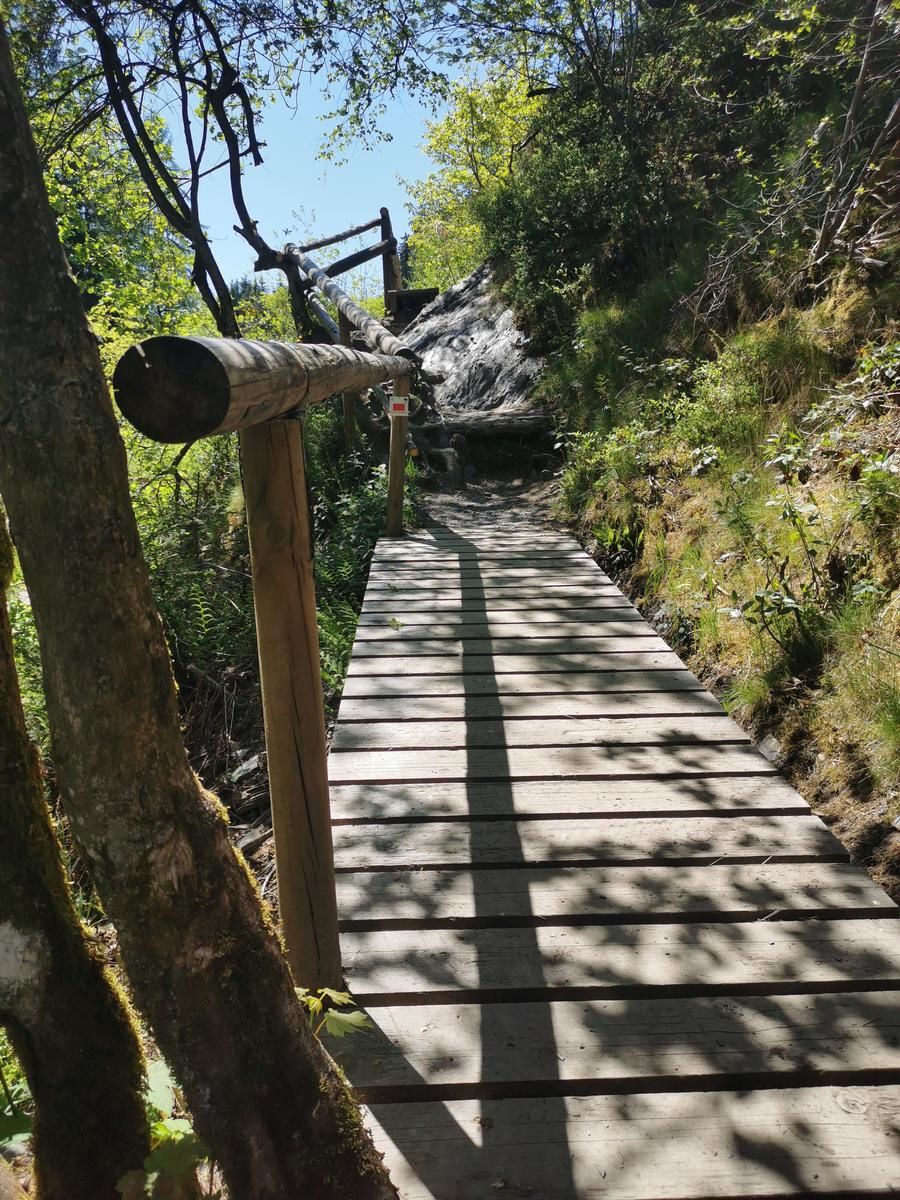
Soms steile paden. - Difficoltà
-
facile
- Valutazione
-
- Punto di partenza
-
Rue de Botrange
- Percorso
-
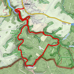
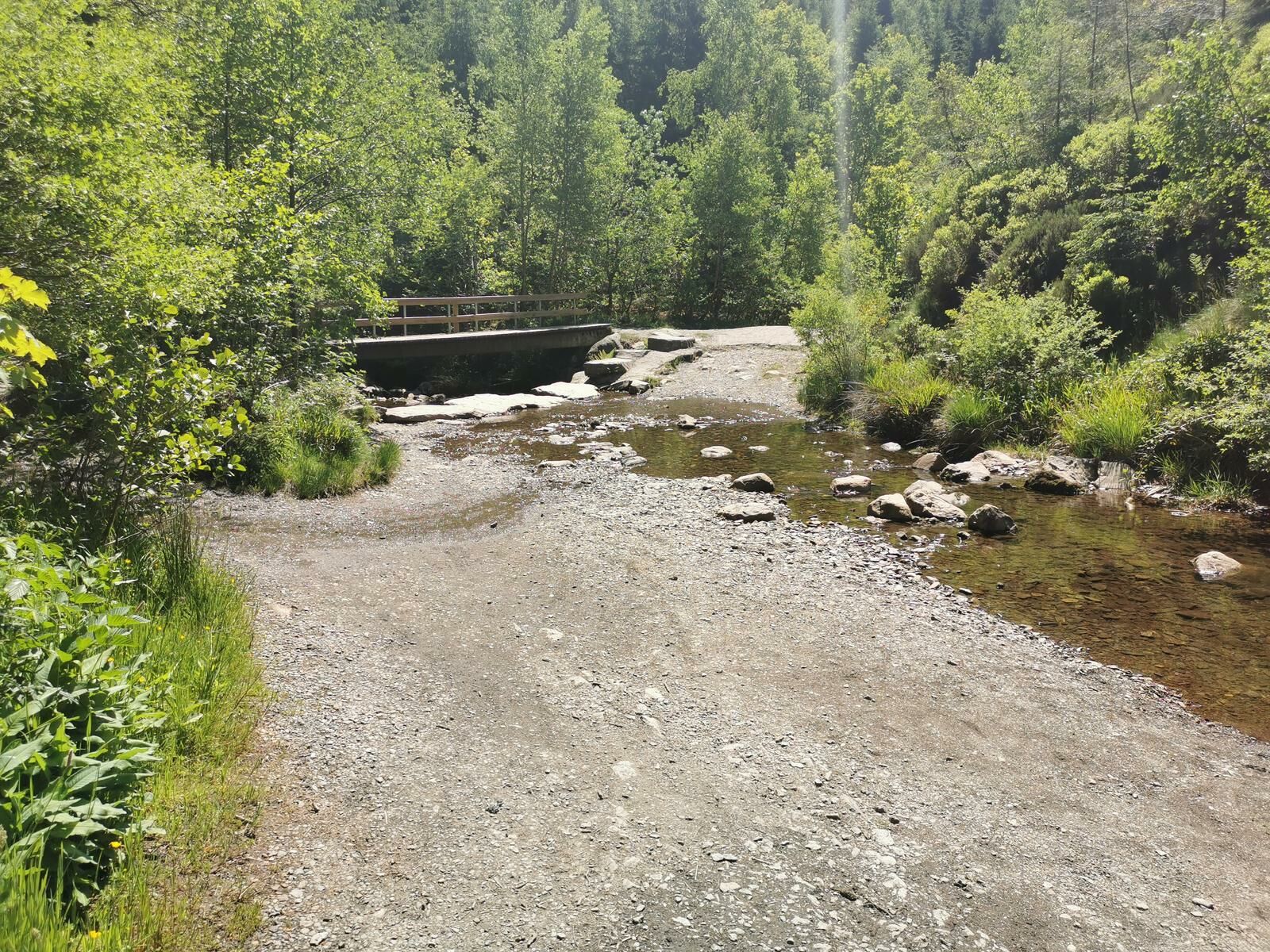
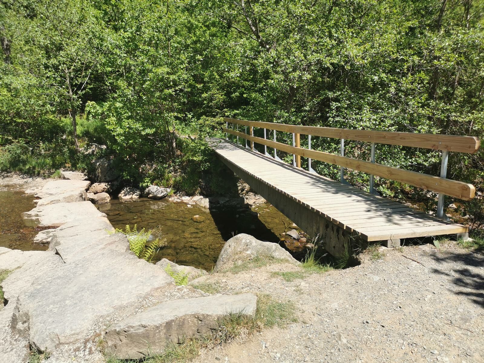
Cascade du Bayehon5,0 kmBayehon6,0 kmMühle am Bayehon6,9 kmCascade de Reinhardstein9,7 kmFischvenn12,1 km
- La stagione migliore
-
genfebmaraprmaggiulugagosetottnovdic
- Punto più alto
- Maison du Parc-Botrange (654 m)
- Destinazione
-
Rue de Botrange


GPS Downloads


Condizioni dei sentieri
Asfalto
Ghiaia
Prato
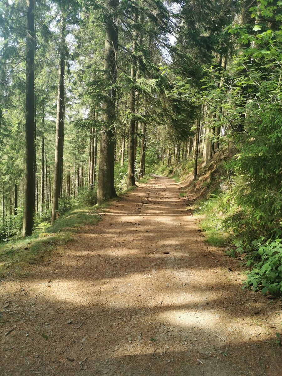
Foresta
Roccia
Esposta
Altri tour nelle regioni
-
Eifel/ Rheinland-Pfalz
1053
-
Hohes Venn
601
-
Weismes
120