Zu Napoleons Nase - Burg Reinhardstein und Stausee Robertville

Escursionismo

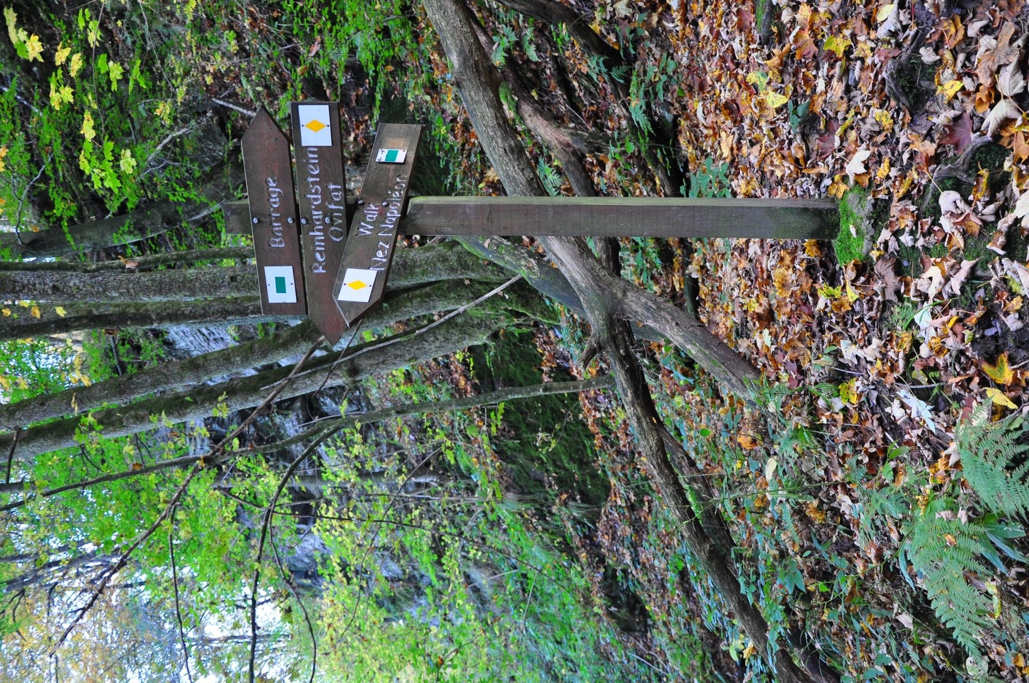
© Wandermagazin - Natalie Glatter
- Descrizione rapida
-
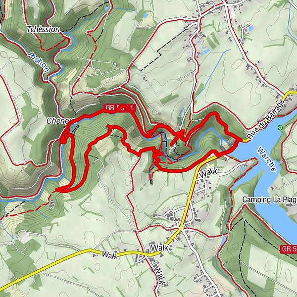
Aussichtsreicher Rundweg durch sagenhaft wilde Landschaften mit schroffen Felsen, der Burg Reinhardstein und dem abenteuerlichen Warchetal.
- Difficoltà
-
intermedio
- Valutazione
-
- Percorso
-
Nez de Napoléon1,8 kmCascade de Reinhardstein4,6 km
- La stagione migliore
-
genfebmaraprmaggiulugagosetottnovdic
- Punto più alto
- 510 m
- Destinazione
-
Parkplatz am Stausee Robertville
- Profilo altimetrico
-
 © outdooractive.com
- Autore
-
Il tour Zu Napoleons Nase - Burg Reinhardstein und Stausee Robertville è utilizzato da outdooractive.com fornito.
GPS Downloads


Info generali
Culturale/Storico
Promettente
Altri tour nelle regioni
-
Eifel/ Rheinland-Pfalz
1056
-
Hohes Venn
606
-
Weismes
123