© Wandermagazin, N. Glatter
- Descrizione rapida
-
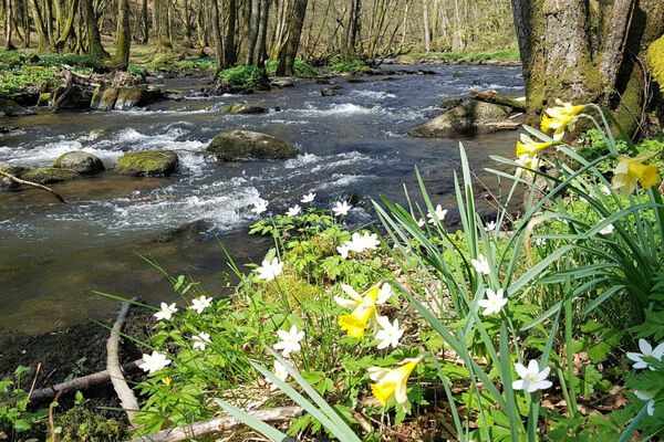
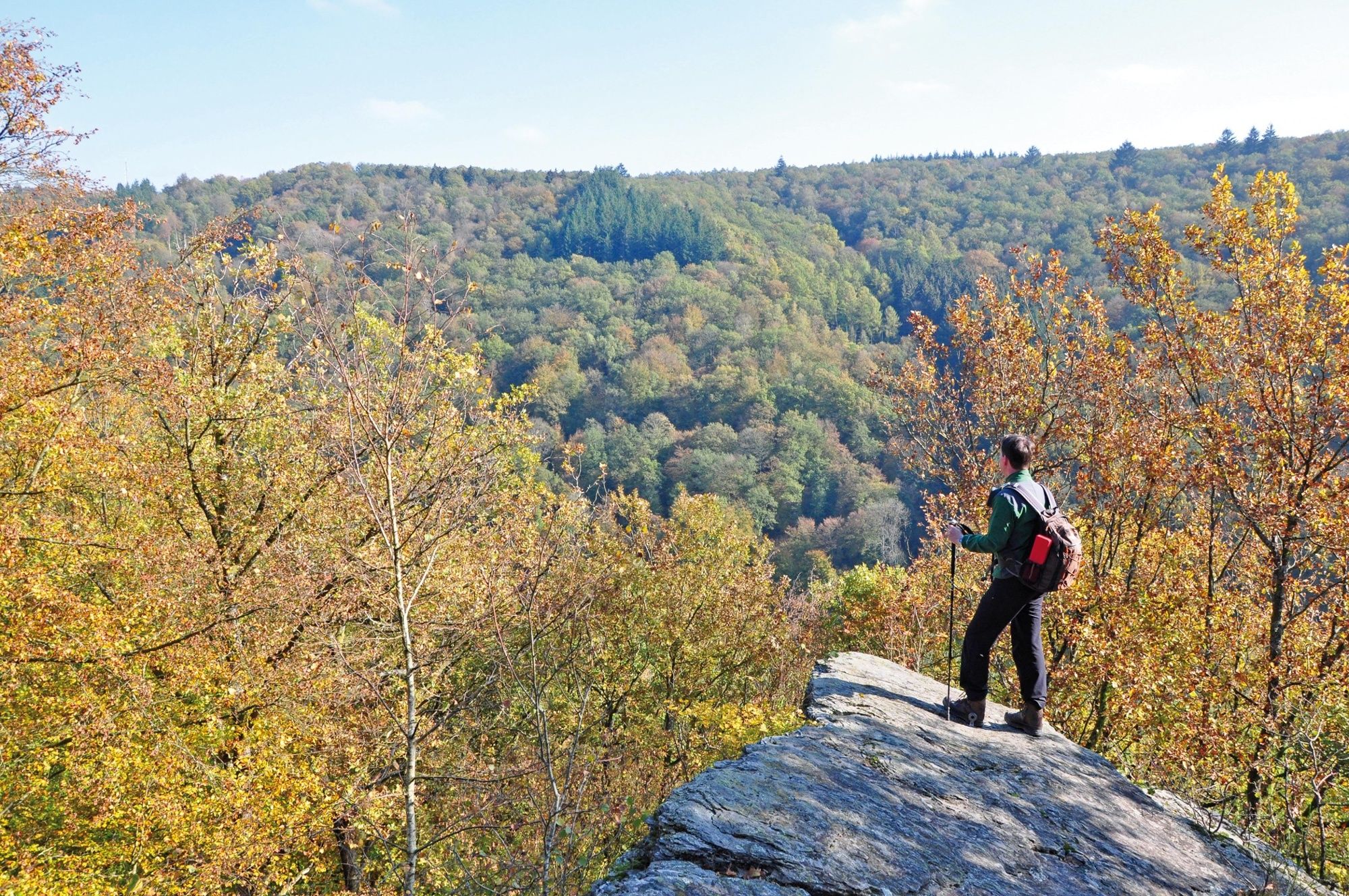
Eine Wanderung mit vielen abenteuerlichen Felspassagen, beschaulichen Dörfern und herrlichen Aussichtsfelsen.
- Difficoltà
-
intermedio
- Valutazione
-
- Percorso
-
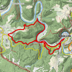
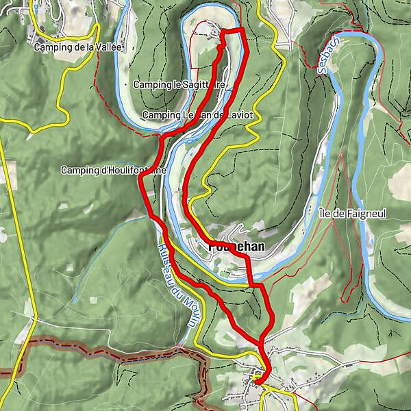
Le Relais0,0 kmCorbion0,1 kmLa Chaire a Precher1,3 kmPoint de vue Chaire à Prêcher1,3 kmChâteau Montragut5,1 kmÉglise Notre-Dame de l'Assomption5,5 kmFrahan5,5 kmPoupehan8,9 kmÉglise Saint-Remacle9,0 kmGrotte de Notre-Dame de Lourdes9,6 kmCorbion10,9 kmLe Relais11,1 km
- La stagione migliore
-
genfebmaraprmaggiulugagosetottnovdic
- Punto più alto
- 364 m
- Destinazione
-
Parkplatz am Rathaus von Corbion (gegenüber Auberge Restaurant "Le Relais")
- Profilo altimetrico
-
 © outdooractive.com
- Autore
-
Il tour Rund um Corbion è utilizzato da outdooractive.com fornito.
GPS Downloads


Info generali
Punto di ristoro
Promettente
Altri tour nelle regioni
-
Bouillon
58