“Border routes - On the trail of a political artefact”

Sentiero tematico

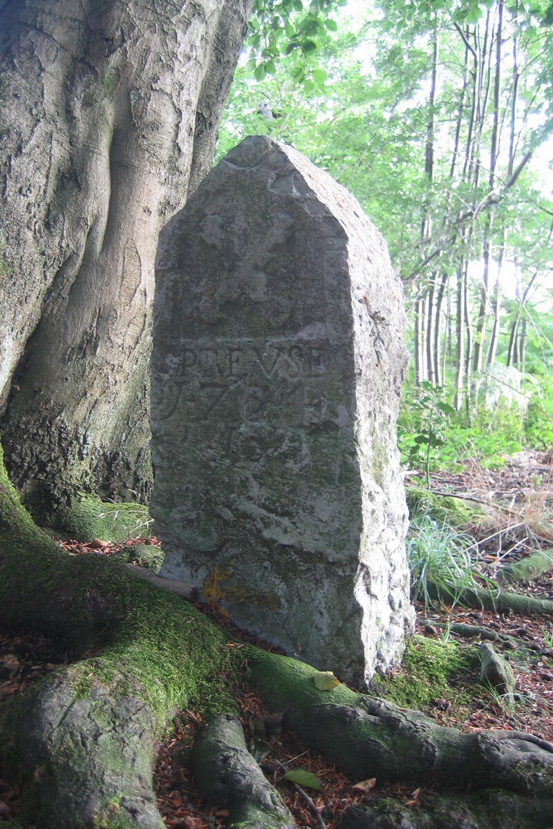
© Tourismusagentur Ostbelgien - Grenzrouten

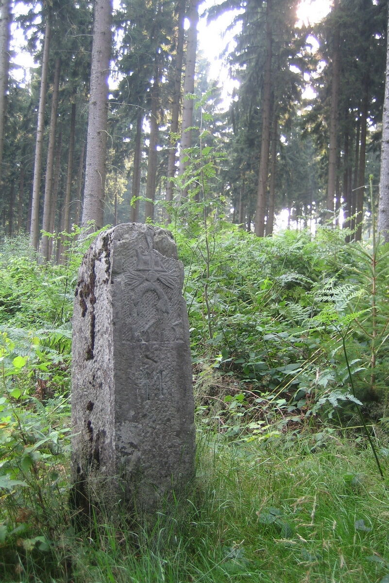
© Tourismusagentur Ostbelgien - Grenzrouten

© Tourismusagentur Ostbelgien - Martin Roehn

- Descrizione rapida
-
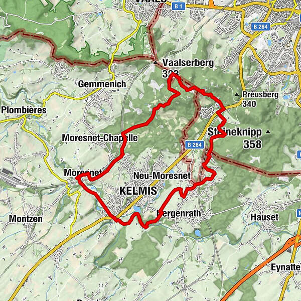
Neutral Moresnet was the fourth state in the border region for more than a hundred years.
- Difficoltà
-
facile
- Valutazione
-
- Percorso
-
KelmisKapelle Peter Arnold Frank1,5 kmTüljequelle5,9 kmSchwarzer Engel12,4 kmAlt Moresnet15,1 kmSankt-Remigius-Kirche15,1 kmAuberge de Moresnet15,2 kmLa Véranda15,2 kmKelmis18,2 km
- La stagione migliore
-
genfebmaraprmaggiulugagosetottnovdic
- Punto più alto
- 333 m
- Destinazione
-
Kelmis, Altenberger Straße / Emmaburgweg (182 hm)
- Profilo altimetrico
-
 © outdooractive.com
- Autore
-
Il tour “Border routes - On the trail of a political artefact” è utilizzato da outdooractive.com fornito.
GPS Downloads


Info generali
Culturale/Storico
Altri tour nelle regioni
-
Weserland / Belgisch - Limburg
376
-
Aachen
110