


- Descrizione rapida
-
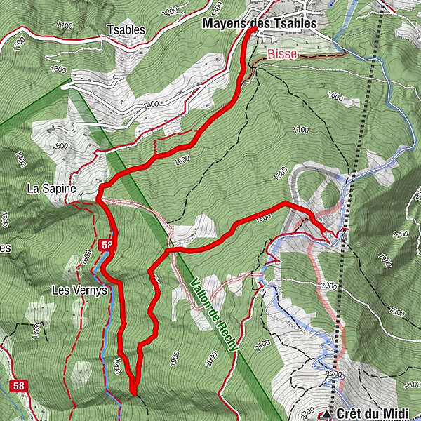
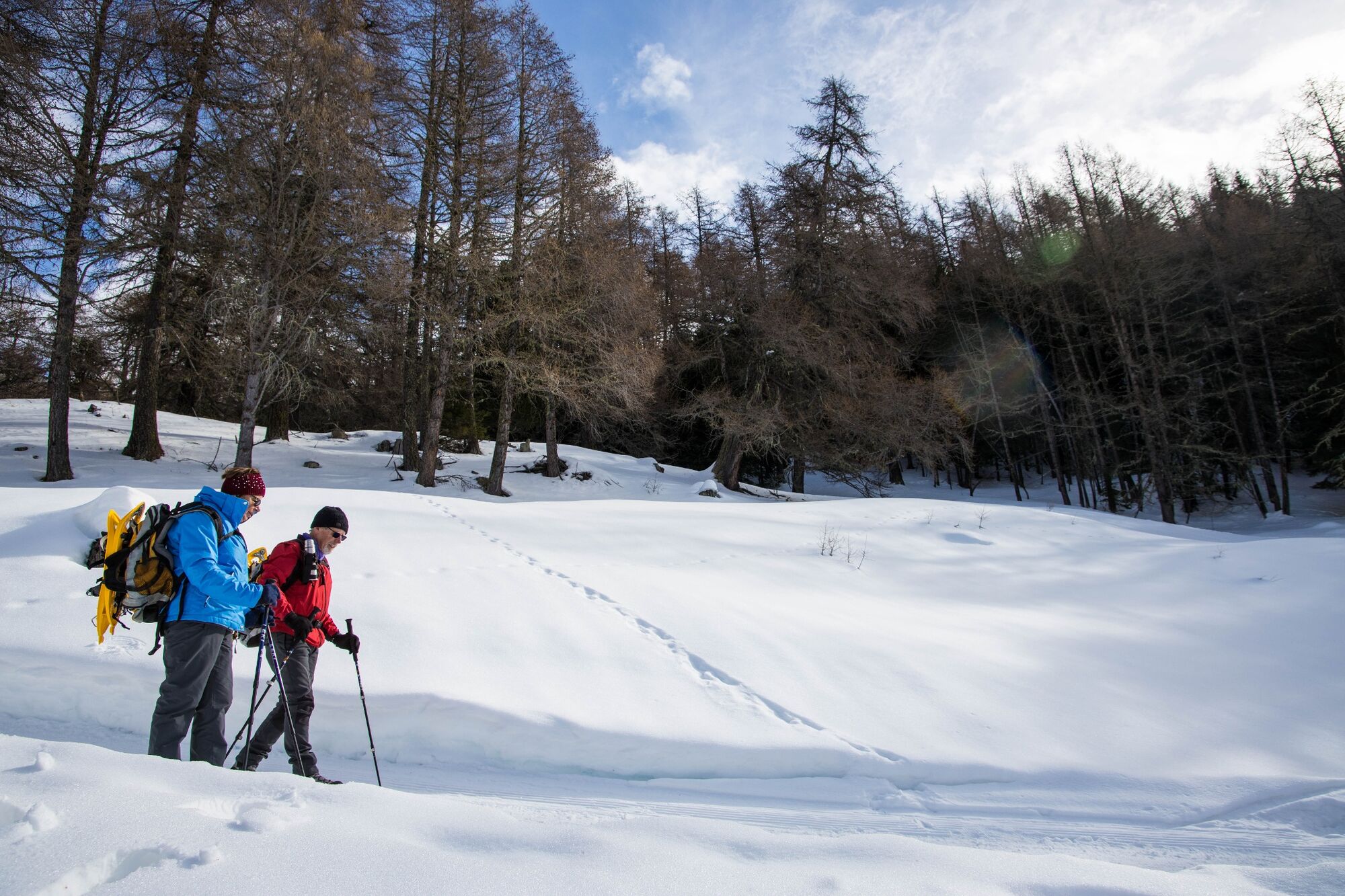
Caution, risk of ice on several parts of the route. Good footwear is strongly recommended.
A hike starting at the top of the village of Vercorin and leading to the intermediate station of the Vercorin-Crêt du Midi cable car, at Sigeroulaz.
- Difficoltà
-
facile
- Valutazione
-
- Percorso
-
Mayens des TsablesL'étable5,1 km
- La stagione migliore
-
agosetottnovdicgenfebmaraprmaggiulug
- Punto più alto
- 1.879 m
- Destinazione
-
Sigeroulaz
- Profilo altimetrico
-
 © outdooractive.com
-

-
AutoreIl tour L'A de Bran è utilizzato da outdooractive.com fornito.
GPS Downloads


Info generali
Punto di ristoro
Promettente
Altri tour nelle regioni
-
Thyon les Collons
235
-
Sierre Anniviers
122
-
Vercorin
49


