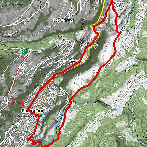
Champéry - Progrès - Souscex - La Cour - Chavalet - Champéry

Escursionismo

© Champéry Tourisme

- Descrizione rapida
-
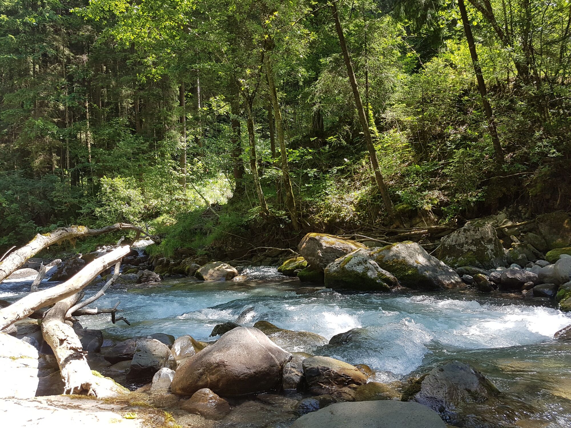
Walk to the neighboring village of Val d'Illiez, following the banks of the rushing Vièze River in the pastoral valley hidden just below Champéry.
- Difficoltà
-
facile
- Valutazione
-
- Percorso
-
Champéry (1.050 m)0,0 kmTemple de Champéry6,4 kmEglise catholique de Champéry6,7 kmChampéry (1.050 m)7,1 km
- La stagione migliore
-
genfebmaraprmaggiulugagosetottnovdic
- Punto più alto
- 1.063 m
- Destinazione
-
Champéry, train station AOMC, stop téléphérique
- Profilo altimetrico
-
 © outdooractive.com
-

-
AutoreIl tour Champéry - Progrès - Souscex - La Cour - Chavalet - Champéry è utilizzato da outdooractive.com fornito.
GPS Downloads


Info generali
Punto di ristoro
Altri tour nelle regioni
-
Portes du Soleil
970
-
Région Dents du Midi
577
-
Champéry
190