

© Pascal Gebert - Zermatt Tourismus

© Fabienne Fux-Schaller - Zermatt Tourismus

© Pascal Gebert - Zermatt Tourismus

© Pascal Gebert - Zermatt Tourismus

© Pascal Gebert - Zermatt Tourismus

© Fabienne Fux-Schaller - Zermatt Tourismus

- Descrizione rapida
-
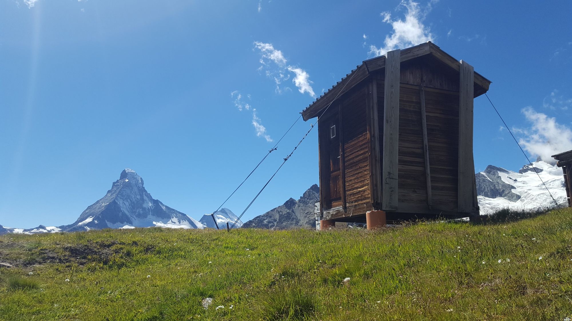
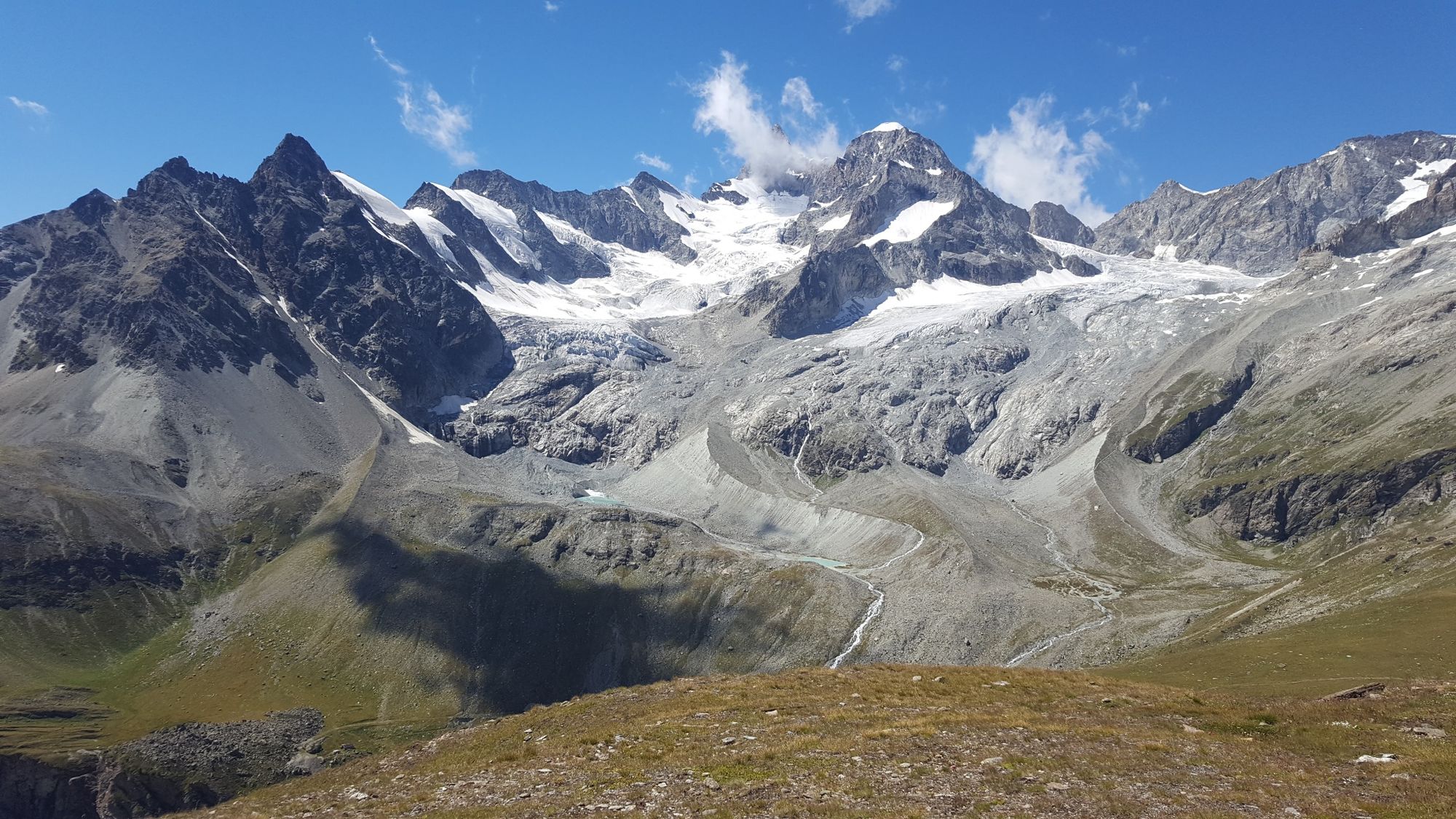
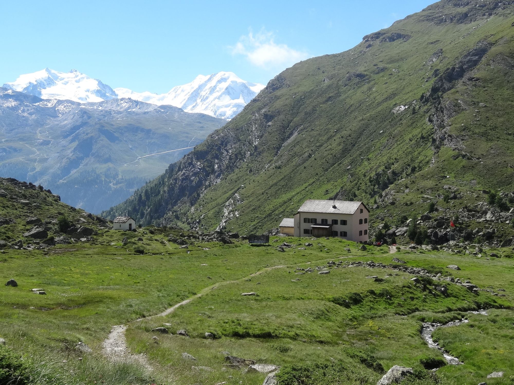
In Zermatt, many of the great attractions are on the doorstep – including this very attractive walk. Highlight: the view of the south-east face of the pyramid-shaped Weisshorn.
- Difficoltà
-
difficile
- Valutazione
-
- Percorso
-
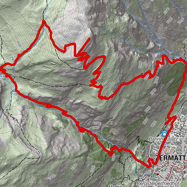
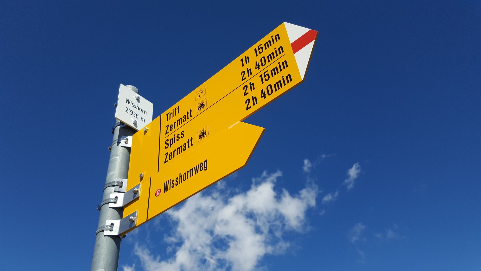
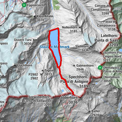
Zermatt (1.608 m)Wisshorn (2.936 m)6,9 kmBerggasthaus Trift (2.337 m)10,1 kmZermatt (1.608 m)13,8 km
- La stagione migliore
-
genfebmaraprmaggiulugagosetottnovdic
- Punto più alto
- 2.914 m
- Destinazione
-
Zermatt (1,620 m)
- Profilo altimetrico
-
 © outdooractive.com

- Autore
-
Il tour Wisshorn Trail (Nr. 32) è utilizzato da outdooractive.com fornito.
GPS Downloads


Info generali
Punto di ristoro
Suggerimento
Flora
Fauna
Promettente
Altri tour nelle regioni
-
Oberwallis
1873
-
Mattertal
555
-
Zermatt
154

")


