
© Zermatt - Matterhorn - Klaus Tscherrig

© Zermatt - Matterhorn - Fabienne Fux-Schaller

© Zermatt - Matterhorn - Fabienne Fux-Schaller

© Zermatt - Matterhorn - Fabienne Fux-Schaller

© Zermatt - Matterhorn - Fabienne Fux-Schaller

© Zermatt - Matterhorn - Klaus Tscherrig

© Zermatt - Matterhorn - Fabienne Fux-Schaller

© Zermatt - Matterhorn - Fabienne Fux-Schaller

- Descrizione rapida
-
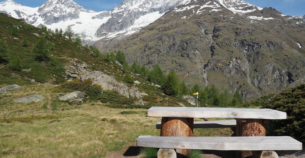
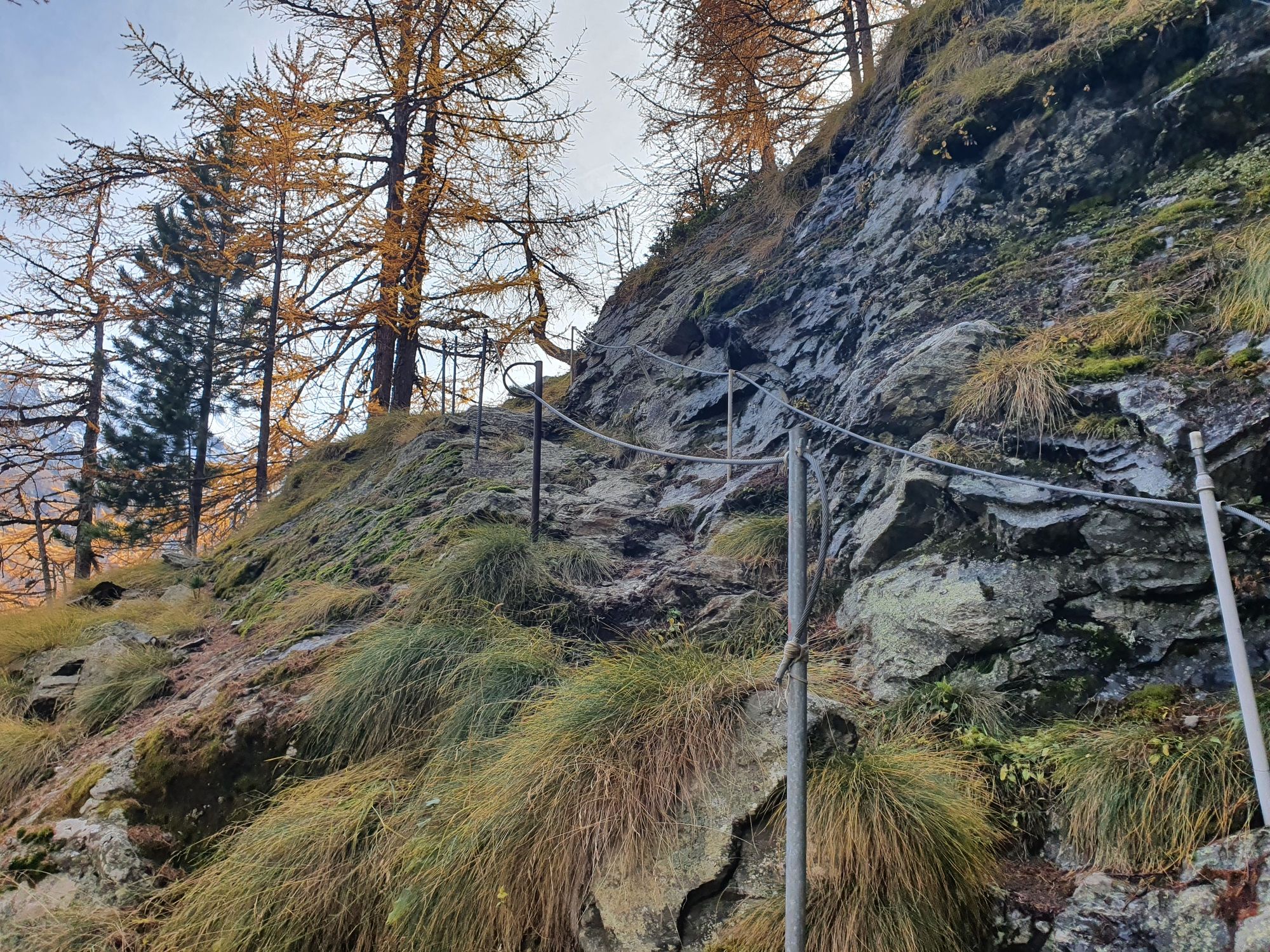
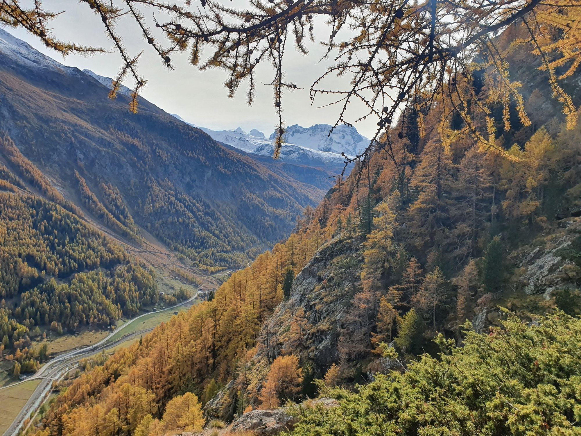
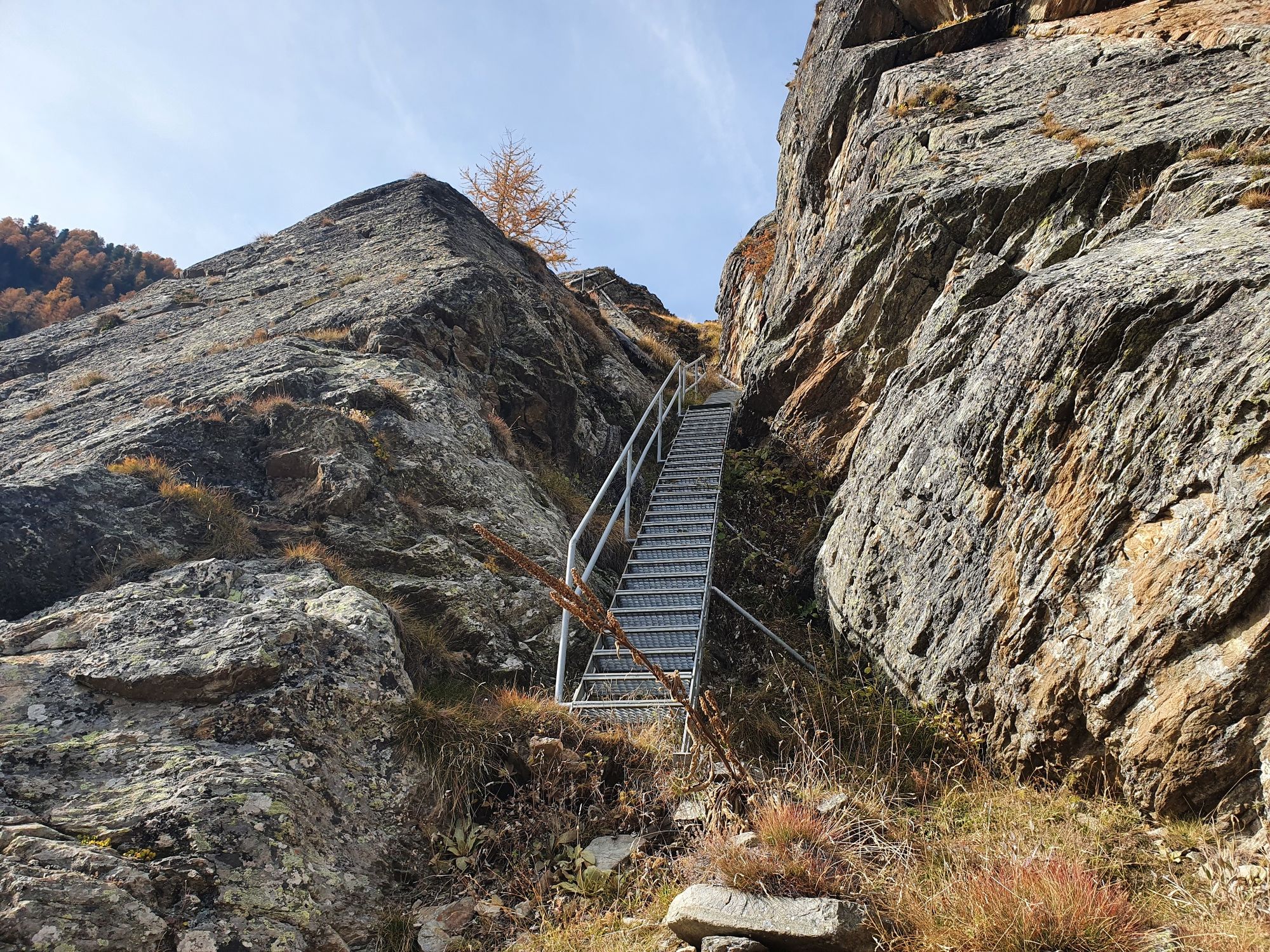
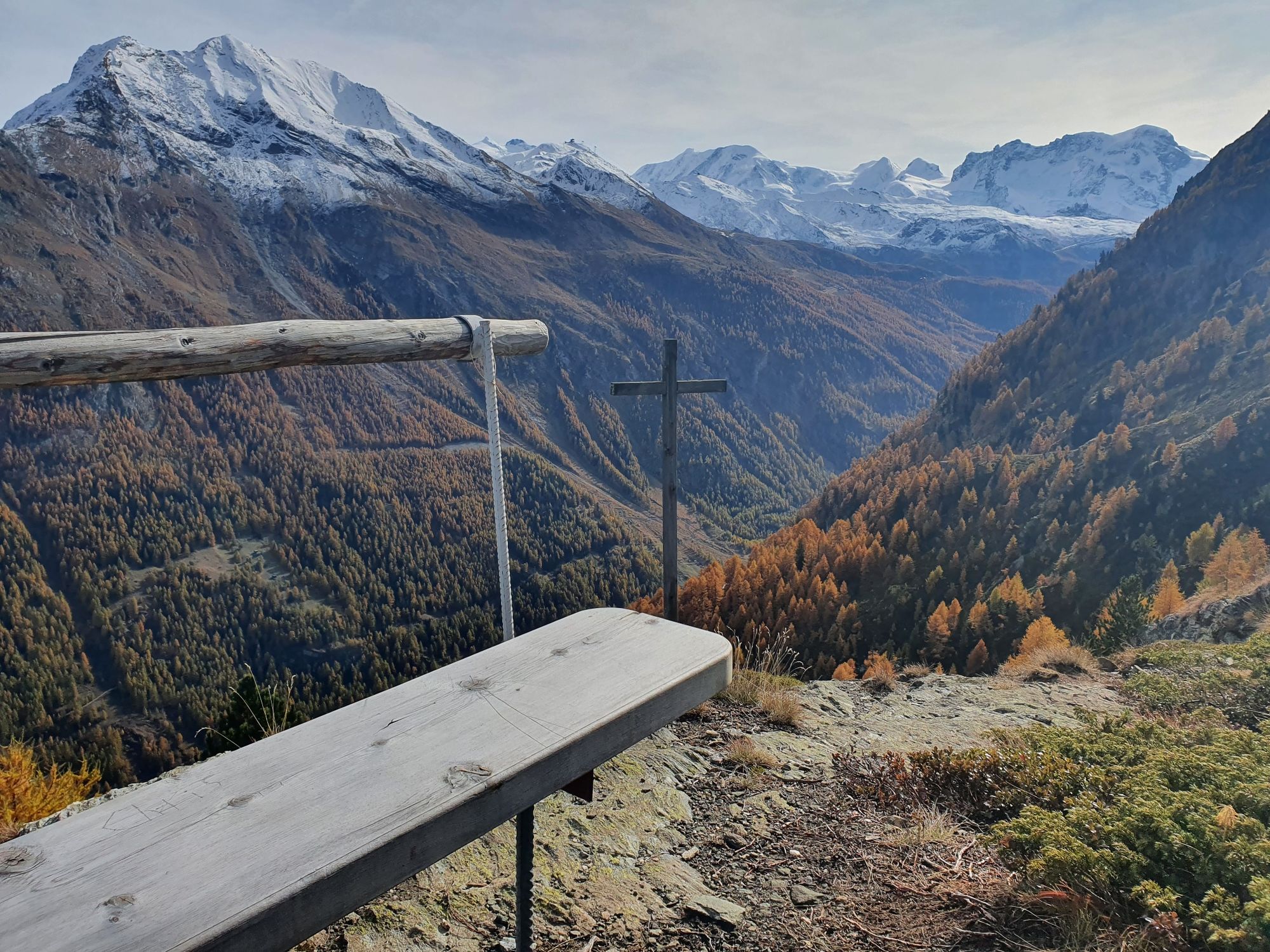
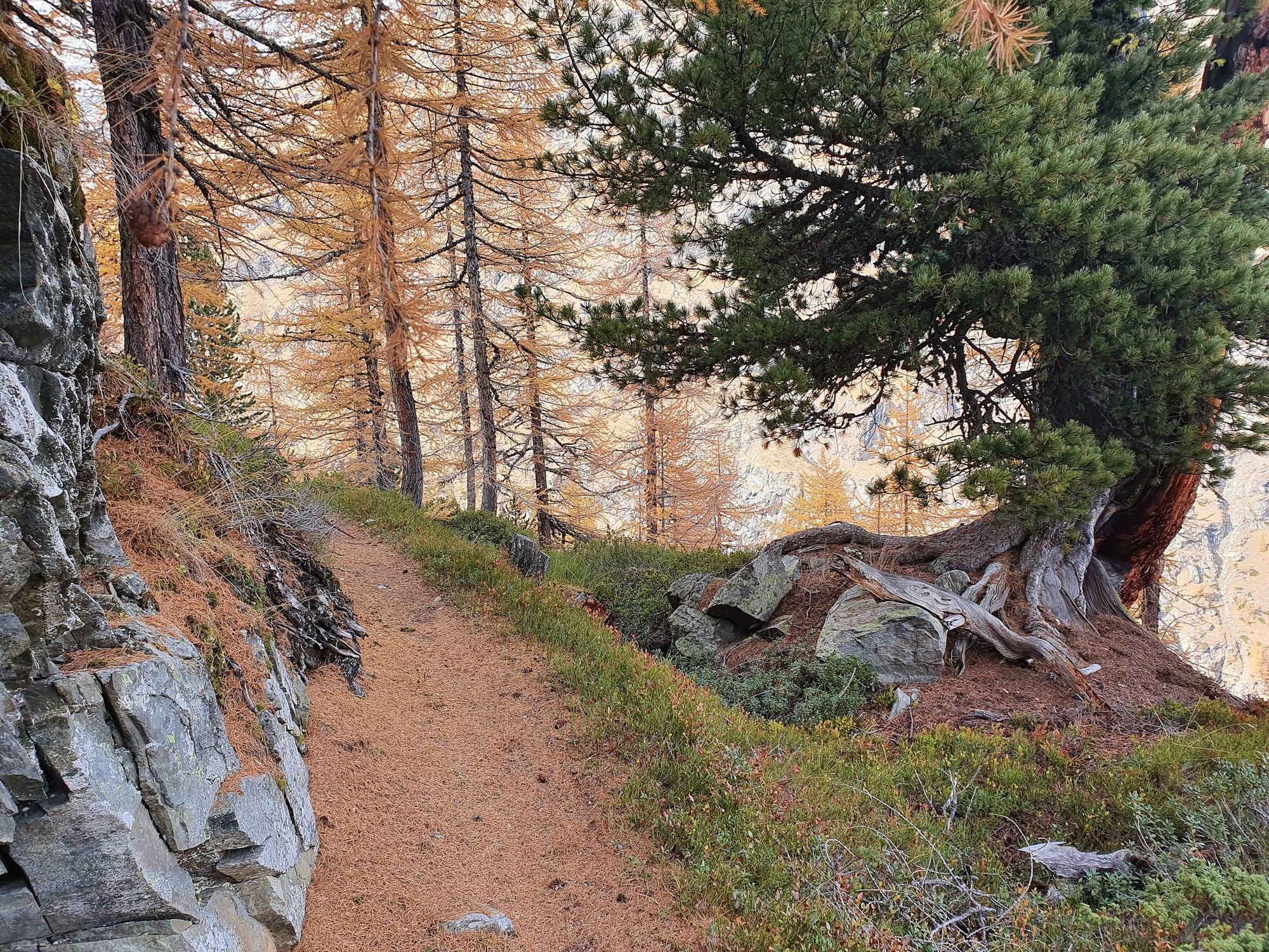
This hike through the forests above Täsch is certainly steep, but also offers a good chance of spotting wild animals. Perhaps even an eagle…
- Difficoltà
-
difficile
- Valutazione
-
- Percorso
-
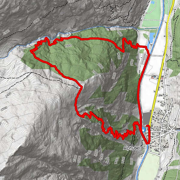
Täsch (1.449 m)0,0 kmRestaurant Walliserkanne0,1 kmTäscherhof0,1 kmTäsch (1.438 m)0,5 kmAussichtspunkt Arigscheis, 2.256 m3,7 kmTäsch (1.438 m)8,6 kmTäsch (1.449 m)9,2 kmTäscherhof9,3 kmRestaurant Walliserkanne9,3 km
- La stagione migliore
-
genfebmaraprmaggiulugagosetottnovdic
- Punto più alto
- 2.241 m
- Destinazione
-
Täsch (1,450 m)
- Profilo altimetrico
-
 © outdooractive.com


- Autore
-
Il tour Arigscheis (Nr. 41) è utilizzato da outdooractive.com fornito.
GPS Downloads


Info generali
Punto di ristoro
Flora
Fauna
Promettente
Altri tour nelle regioni
-
Oberwallis
1872
-
Mattertal
555
-
Täsch
195


