
© Val d'Anniviers - Anniviers Tourisme

© Val d'Anniviers - Anniviers Tourisme

© Val d'Anniviers - Anniviers Tourisme
- Descrizione rapida
-
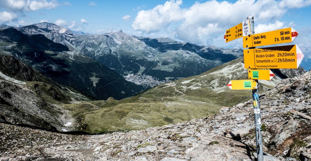
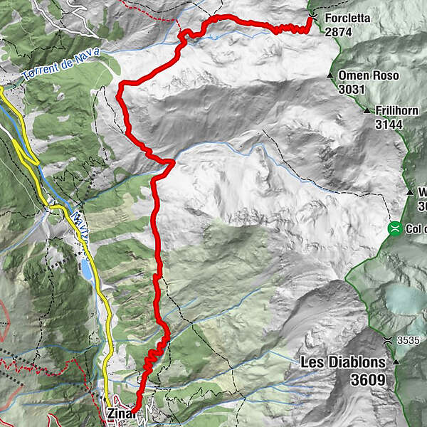
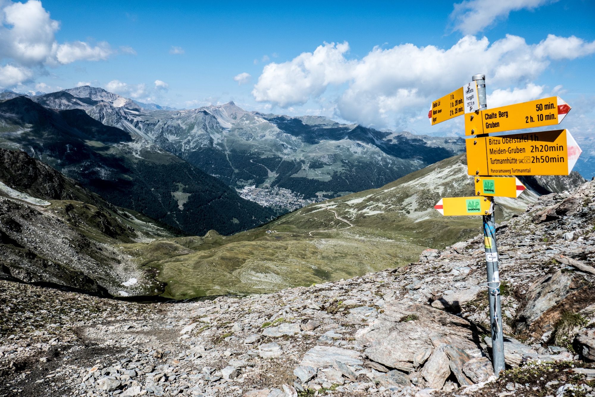
The Forcletta Pass connects the Val d’Anniviers with the neighbouring Turtmanntal Valley. ”Zinal-Forcletta-Grüben” is one of the stages of the Matterhorn Tour hiking trail.
- Difficoltà
-
difficile
- Valutazione
-
- Percorso
-
Zinal (1.675 m)Pralonzet0,2 kmForcletta (2.874 m)9,1 km
- Punto più alto
- 2.844 m
- Destinazione
-
Col de la Forcletta
- Profilo altimetrico
-
 © outdooractive.com
-

-
AutoreIl tour Zinal - Col de la Forcletta n°9 è utilizzato da outdooractive.com fornito.
GPS Downloads


Altri tour nelle regioni
-
Oberwallis
1880
-
Sierre Anniviers
785
-
Zinal
279


")


