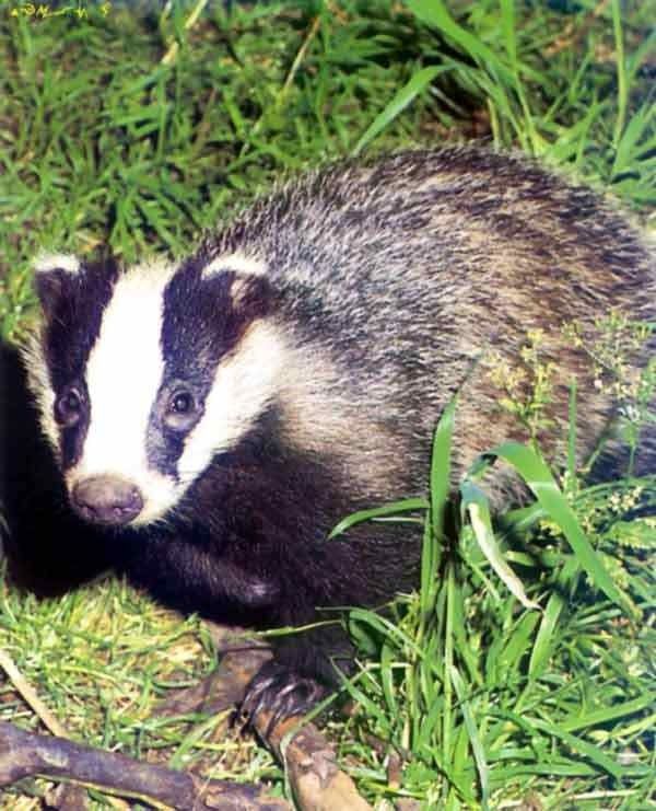
- Descrizione rapida
-
Laub-und Tannenwälder, satte Wiesen, seltene Flora
- Difficoltà
-
intermedio
- Valutazione
-
- Percorso
-
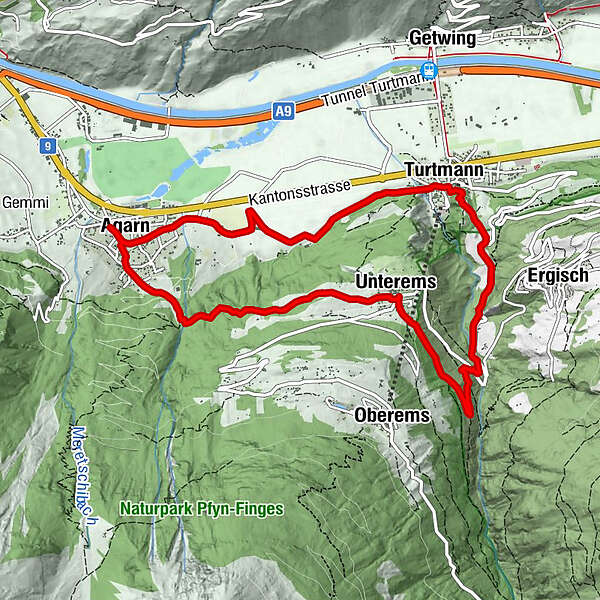
Agarn (626 m)0,1 kmUnterems (1.003 m)3,2 kmRestaurant Edelweiss3,2 kmRestaurant Friedheim3,3 kmTuminen5,5 kmTurtmann (640 m)7,3 kmWasserfall7,4 kmFriedhofskapelle7,6 kmAgarn (626 m)10,9 km
- La stagione migliore
-
genfebmaraprmaggiulugagosetottnovdic
- Punto più alto
- 1.037 m
- Destinazione
-
Agarn
- Profilo altimetrico
-
 © outdooractive.com
- Autore
-
Il tour Dachspfad è utilizzato da outdooractive.com fornito.
GPS Downloads


Altri tour nelle regioni
-
Oberwallis
1872
-
Turtmanntal
963
-
Oberems VS
286