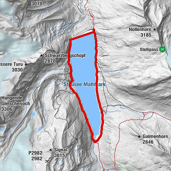
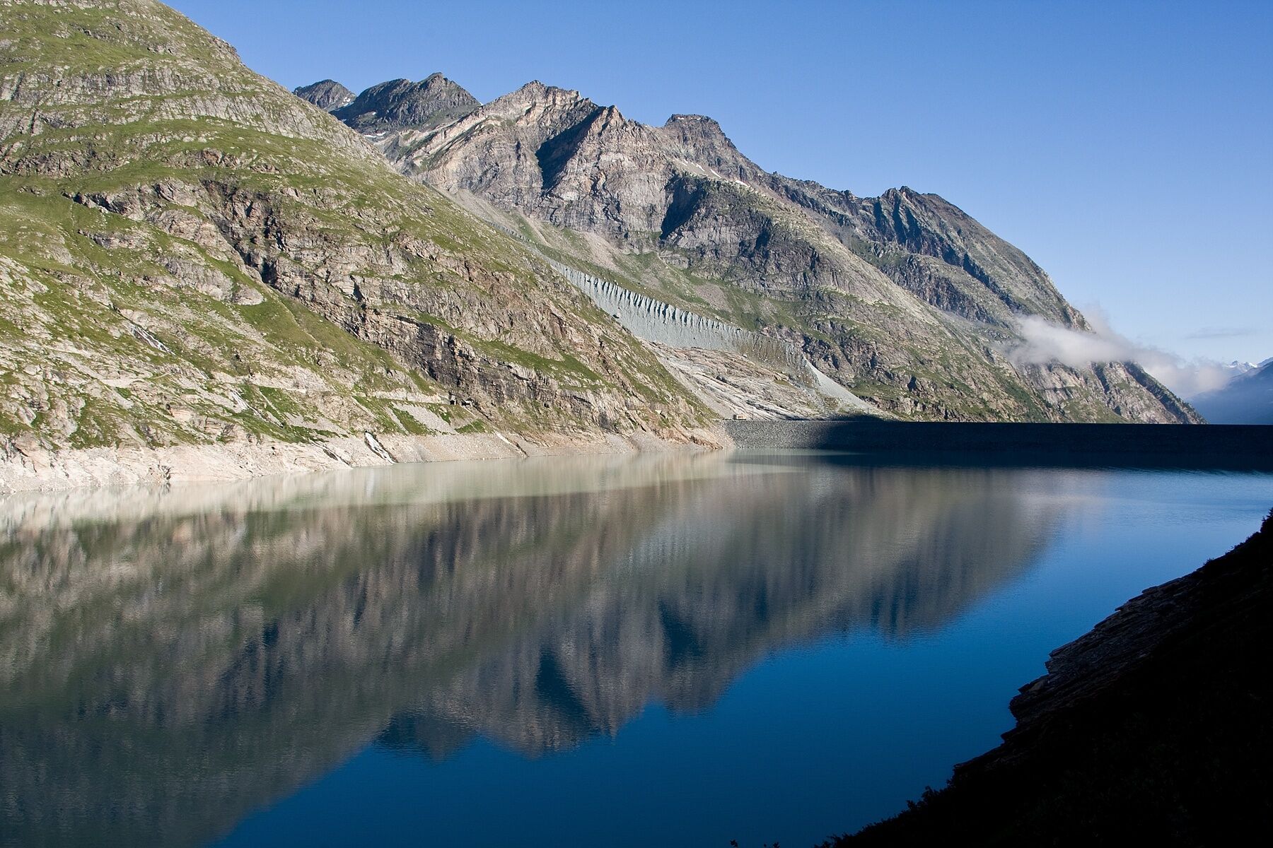
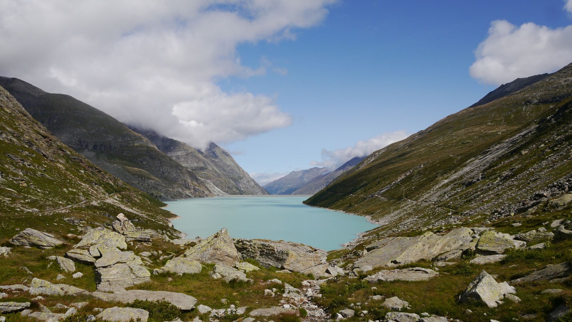
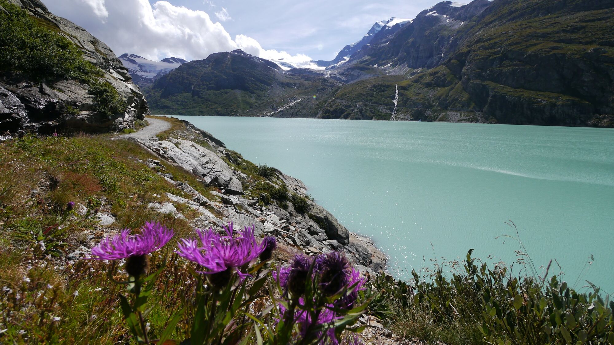
Around the Mattmark reservoir in Saastal valley

Escursionismo


© Outdooractive Premium - Hartmut Wimmer

© Unbekannt - By Roland Zumbuehl (Own work) [GFDL (http://www.gnu.org/copyleft/fdl.html) or CC-BY-SA-3.0 (http://creativecommons.org/licenses/by-sa/3.0/)], via Wikimedia Commons

© Outdooractive Premium - Hartmut Wimmer

© Outdooractive Premium - Hartmut Wimmer

© Outdooractive Premium - Hartmut Wimmer

- Descrizione rapida
-
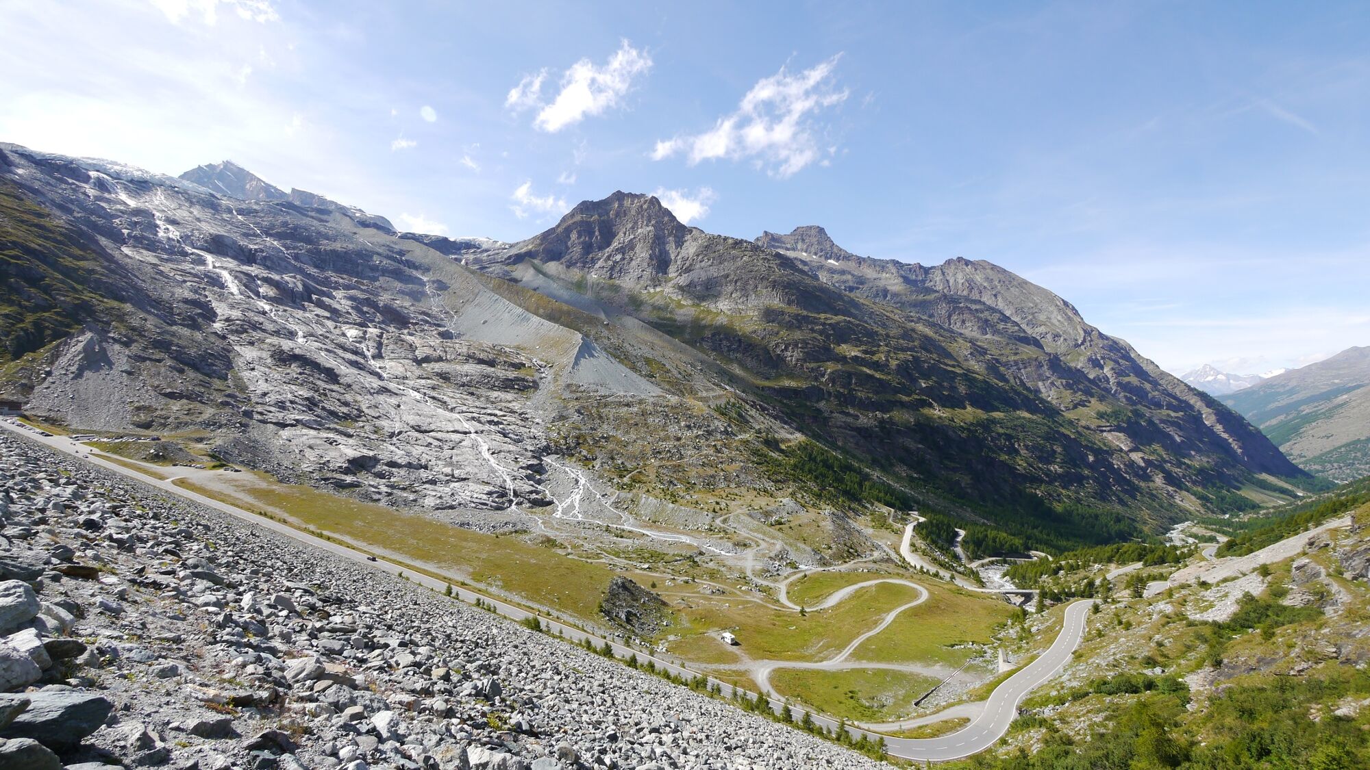
Gentle walk from Europe’s largest earth dam around a peaceful reservoir framed by dramatic mountains. Western leg is pushchair-accessible.
- Difficoltà
-
facile
- Valutazione
-
- La stagione migliore
-
genfebmaraprmaggiulugagosetottnovdic
- Punto più alto
- 2.243 m
- Destinazione
-
Mattmark dam
- Profilo altimetrico
-
 © outdooractive.com


-

-
AutoreIl tour Around the Mattmark reservoir in Saastal valley è utilizzato da outdooractive.com fornito.
GPS Downloads


Info generali
Punto di ristoro
Flora
Fauna
Promettente
Altri tour nelle regioni
-
Oberwallis
1873
-
Saastal
484
-
Saas-Almagell
96


")


