© Valais/Wallis Promotion - Christian Pfammatter - Christian Pfammatter
© Valais/Wallis Promotion - Christian Pfammatter - Christian Pfammatter
© Valais/Wallis Promotion - Christian Pfammatter - Christian Pfammatter
© Unbekannt - Jacques Sauthier
© Unbekannt - Jacques Sauthier


- Descrizione rapida
-
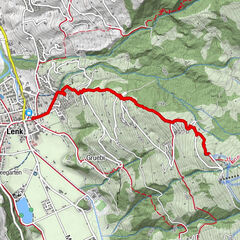
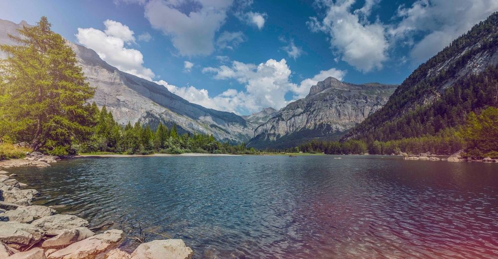
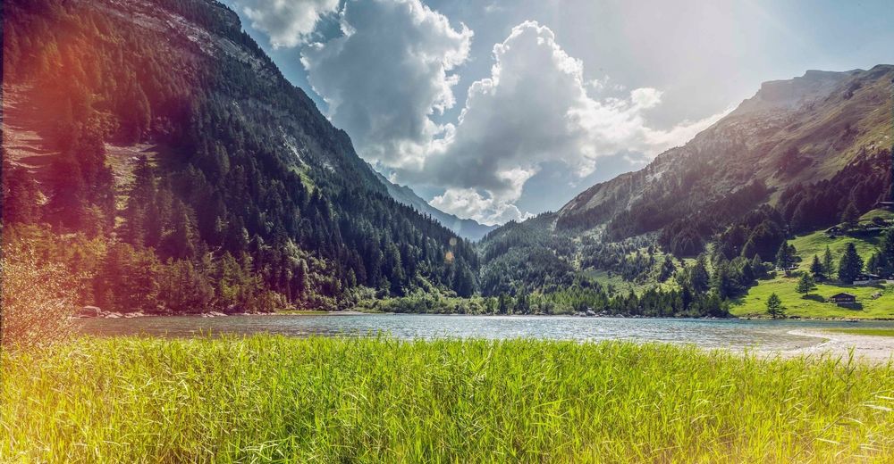
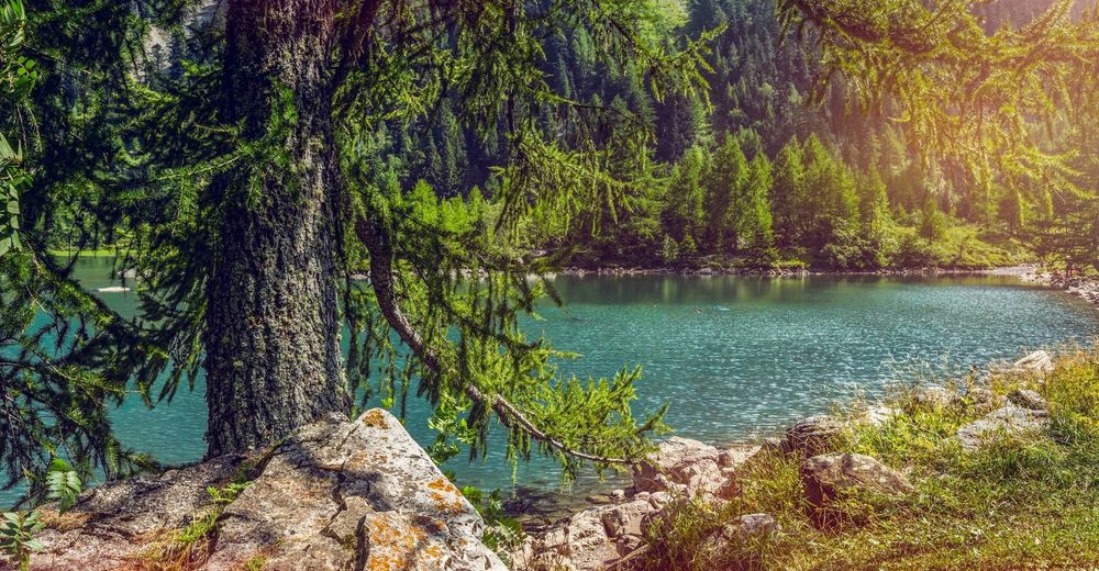
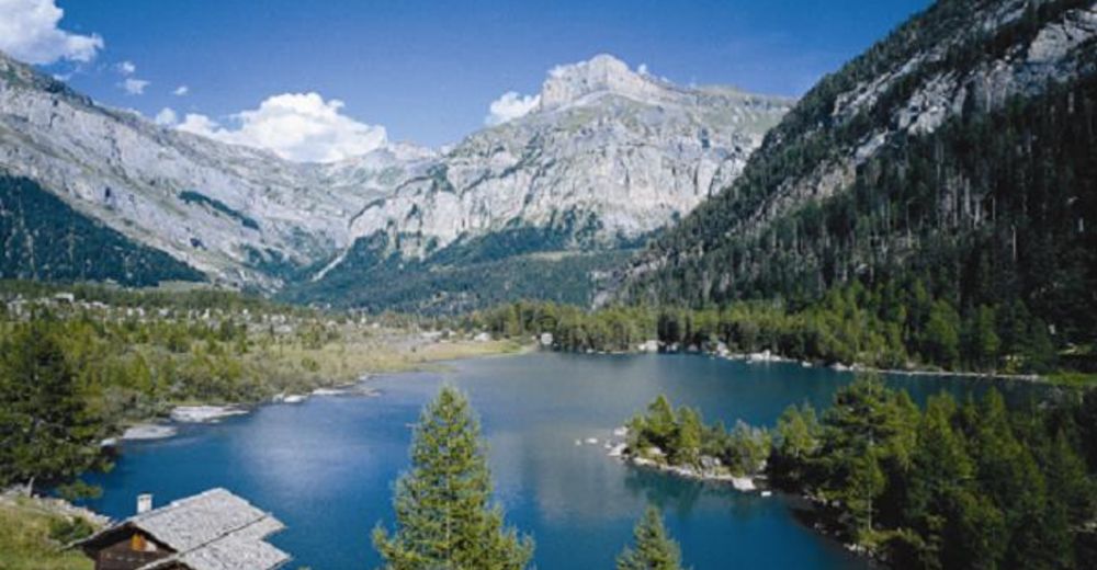
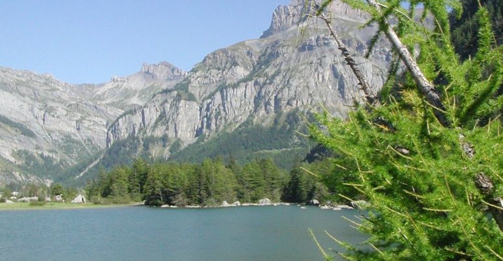
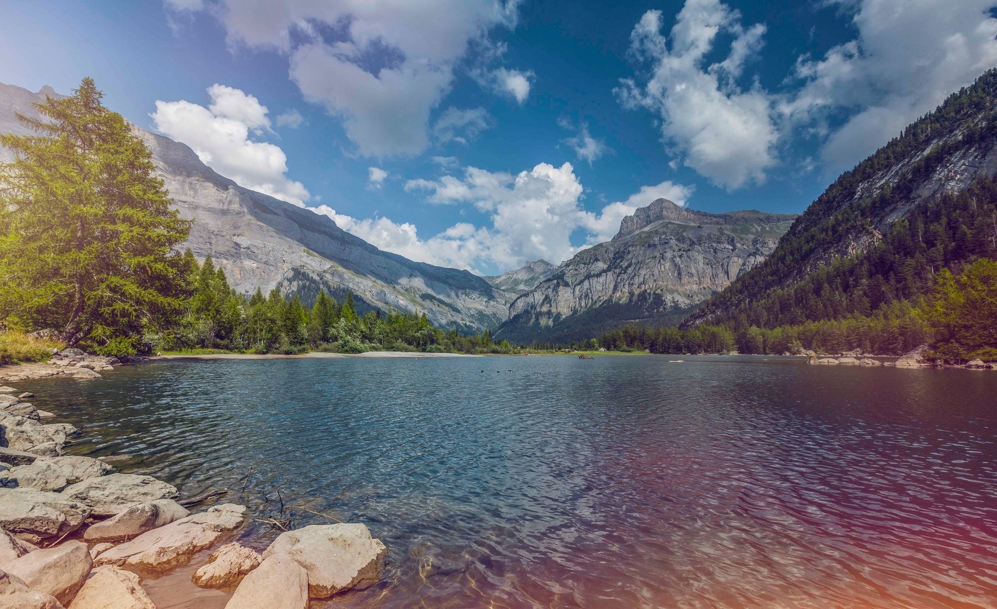
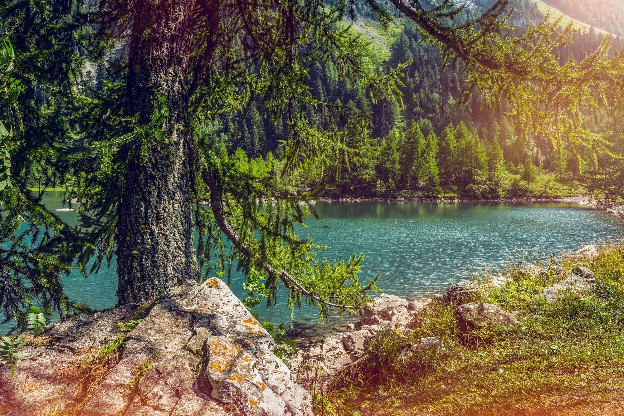
A walk around the landscape created in a remote valley by two colossal rockslides in the 18th century. A tranquil lake, pristine forest, abundant wildlife: Derborence is now a national nature reserve.
- Difficoltà
-
facile
- Valutazione
-
- Percorso
-
Godet3,5 kmAuberge du Godet3,5 kmDerborence6,2 kmRefuge du Lac (1.462 m)6,2 km
- La stagione migliore
-
genfebmaraprmaggiulugagosetottnovdic
- Punto più alto
- 1.514 m
- Destinazione
-
Derborence (car park / bus stop)
- Profilo altimetrico
-
 © outdooractive.com


-

-
AutoreIl tour Tour de l'éboulement des Diablerets è utilizzato da outdooractive.com fornito.
GPS Downloads


Info generali
Punto di ristoro
Culturale/Storico
Flora
Fauna
Promettente
Altri tour nelle regioni
-
Thyon les Collons
1444
-
Coteaux du Soleil
616
-
Ardon
78