© Hélène Delaloye
© Hélène Delaloye

© Commune de Vouvry

© Commune de Vouvry
© Commune de Vouvry

- Descrizione rapida
-
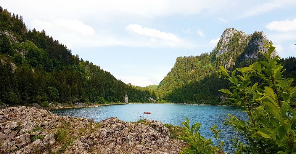
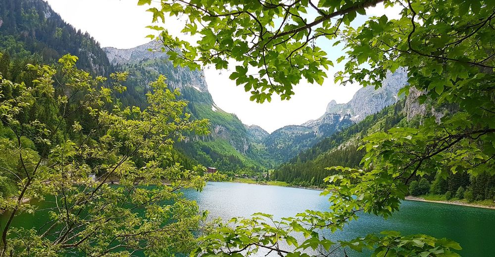
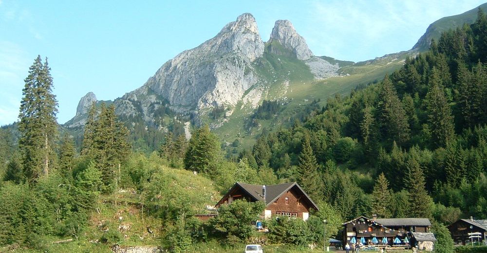
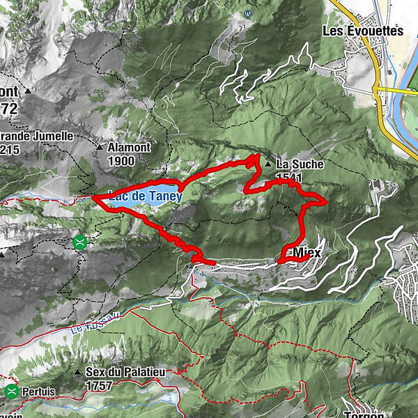
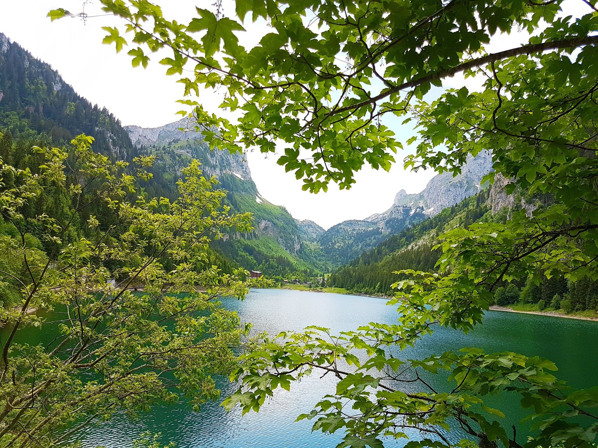
A climb high above the Rhône valley to the Lac de Taney, an idyllic lake at the heart of one of the finest nature reserves in the Alps. Glorious views of the surrounding mountains.
- Difficoltà
-
intermedio
- Valutazione
-
- Percorso
-
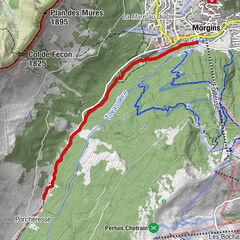
Miex0,0 kmLes "Cornettes de Bise"0,1 kmPrélagine (1.460 m)2,9 kmRestaurant du Grammont6,0 kmRefuge La Vouivre6,1 kmNotre Dame des Neiges6,3 kmTaney6,3 kmCol de Taney (1.440 m)6,8 kmChardon Bleu8,4 km
- La stagione migliore
-
genfebmaraprmaggiulugagosetottnovdic
- Punto più alto
- 1.490 m
- Destinazione
-
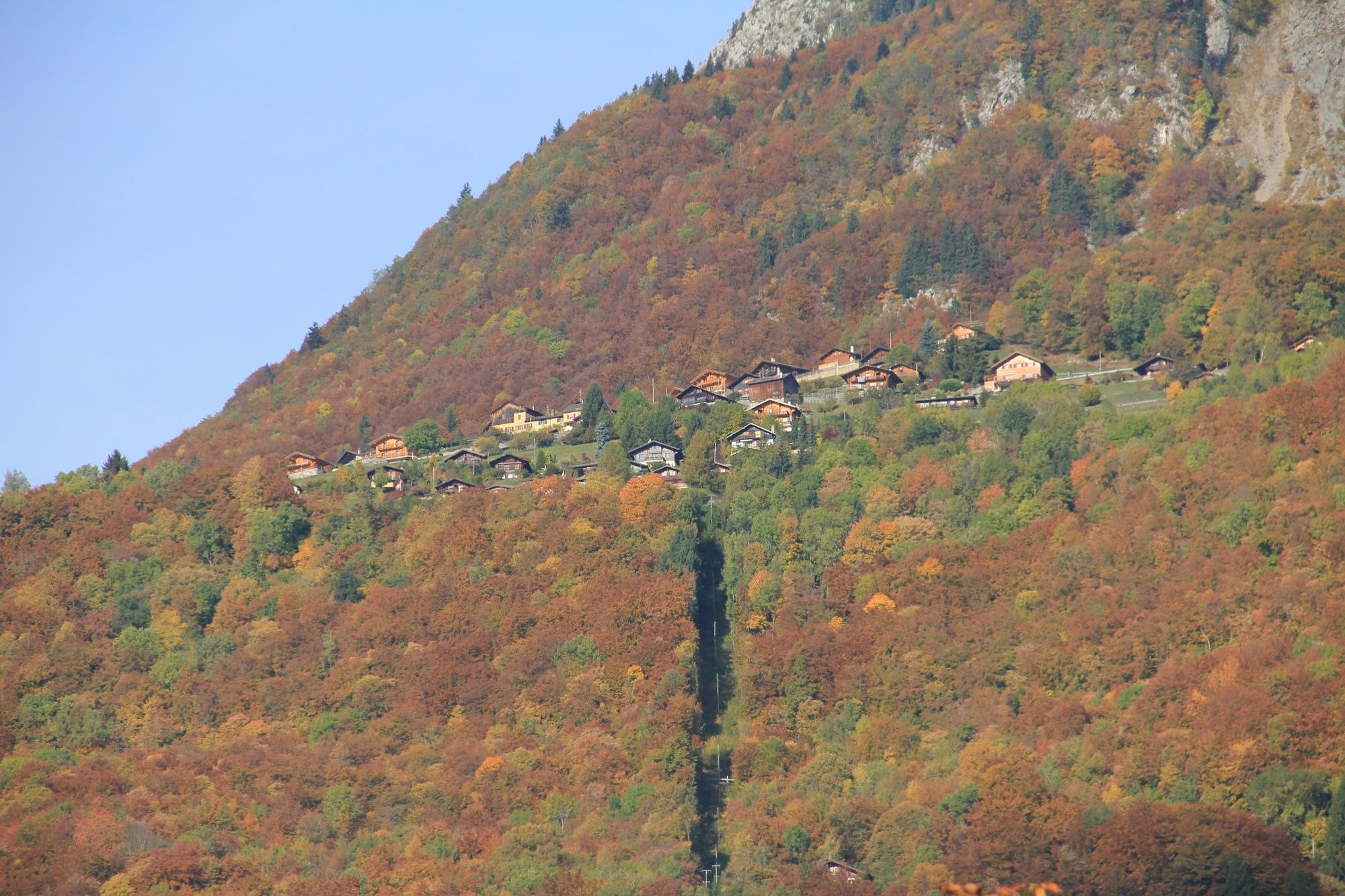
Miex (hamlet Le Vésenand)
- Profilo altimetrico
-
 © outdooractive.com


- Autore
-
Il tour Chemin du Lac de Taney è utilizzato da outdooractive.com fornito.
GPS Downloads


Info generali
Punto di ristoro
Flora
Fauna
Promettente
Altri tour nelle regioni
-
Portes du Soleil
970
-
Montreux Riviera
353
-
Torgon
212