Wanderung zum Monte-Moro-Pass in den Walliser Alpen

Escursionismo

© ALPIN - Das Bergmagazin. - Iris Kürschner

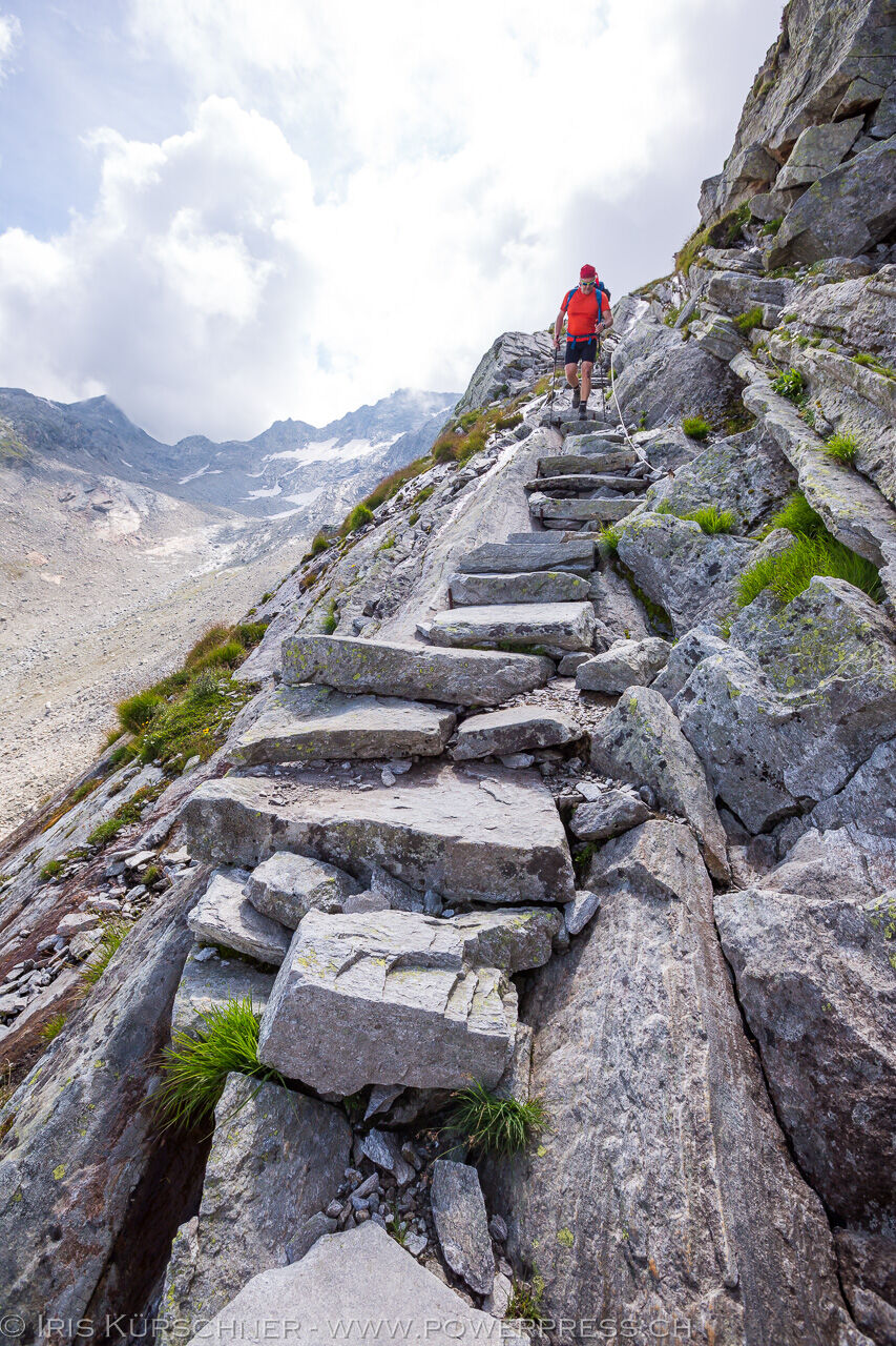
© Outdooractive Premium - Hartmut Wimmer

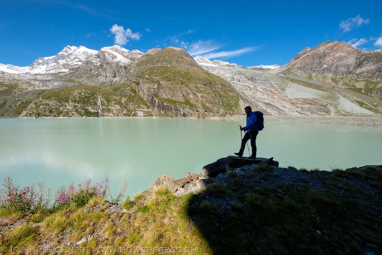
© ALPIN - Das Bergmagazin. - Iris Kürschner

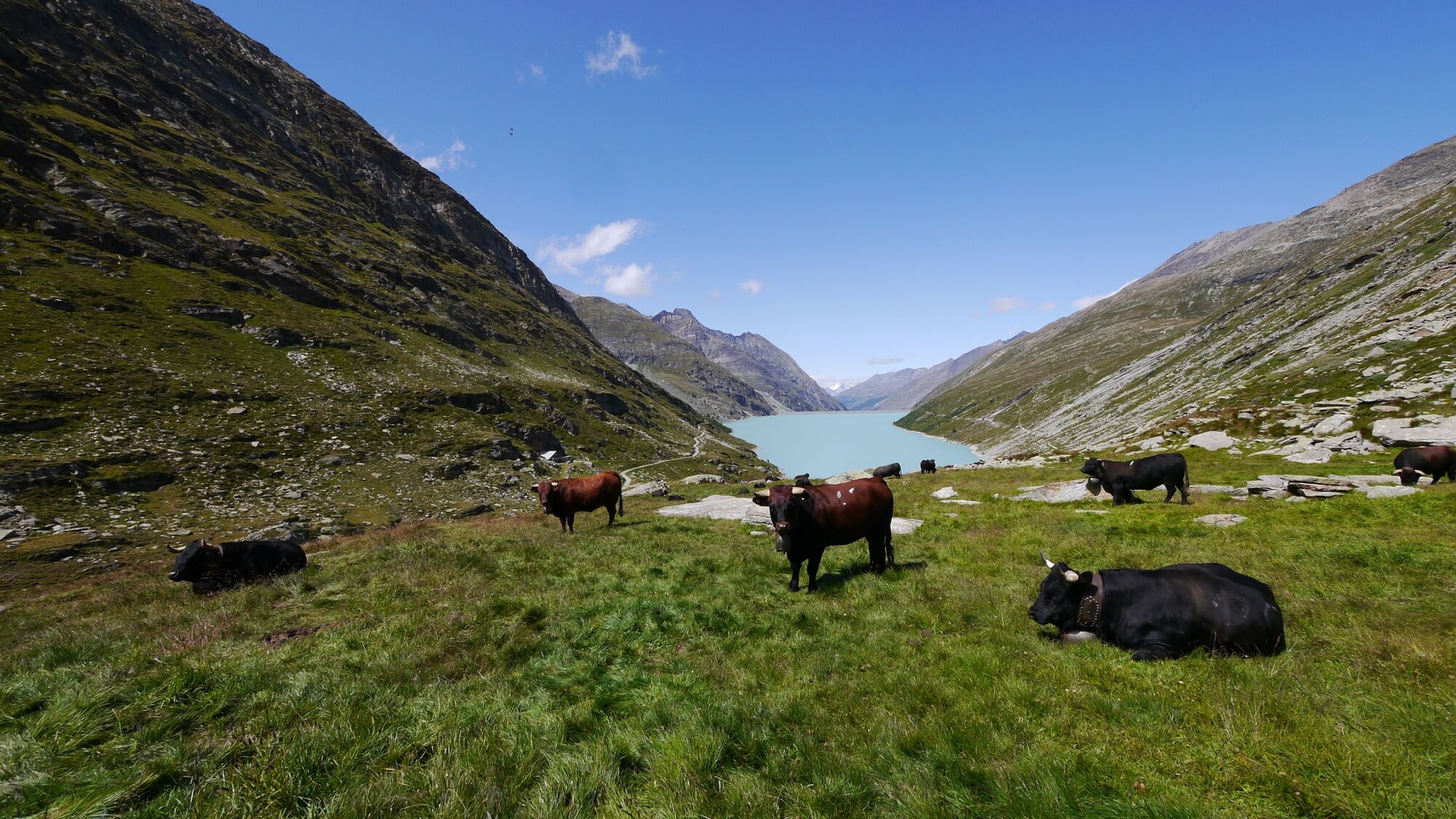
© ALPIN - Das Bergmagazin. - Iris Kürschner

- Descrizione rapida
-
Der helvetische Hüttenweg
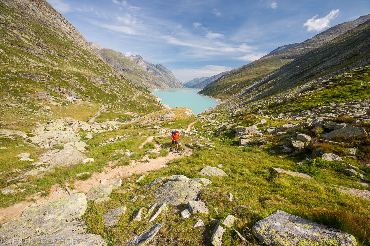
Auf uraltem Saumpfad zum schönsten Monte-Rosa-Ausguck am Rifugio Oberto Maroli mit ausladender Runde um den Mattmarksee.
- Difficoltà
-
intermedio
- Valutazione
-
- Percorso
- La stagione migliore
-
genfebmaraprmaggiulugagosetottnovdic
- Punto più alto
- 2.861 m
- Destinazione
-
Mattmarksee, Bushaltestelle und Parkplatz unterhalb der Staumauer, 2197 m.
- Profilo altimetrico
-
 © outdooractive.com
- Autore
-
Il tour Wanderung zum Monte-Moro-Pass in den Walliser Alpen è utilizzato da outdooractive.com fornito.
GPS Downloads


Info generali
Punto di ristoro
Promettente
Altri tour nelle regioni
-
Oberwallis
1885
-
Saastal
483
-
Macugnaga
67


")
