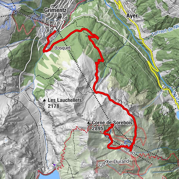
Espace Weisshorn - Sorebois – Tsirouc – Grimentz n°14

Escursionismo

© Val d'Anniviers - Anniviers Tourisme

© Val d'Anniviers - Anniviers Tourisme
- Descrizione rapida
-
A beautiful and long descent with a view, from the top of Zinal to Grimentz
- Difficoltà
-
intermedio
- Valutazione
-
- Percorso
-
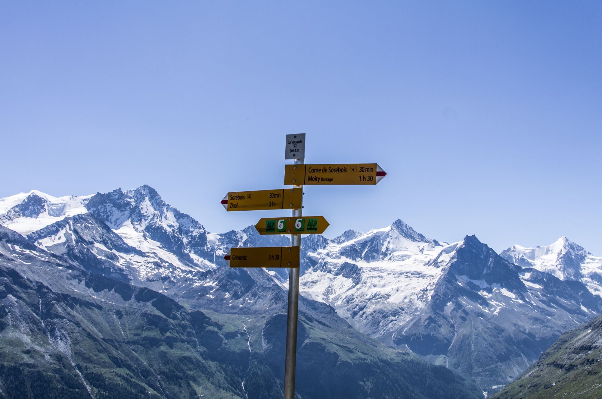
La Vouarda (2.687 m)0,0 kmSorebois1,9 km
- Punto più alto
- 2.675 m
- Destinazione
-
Grimentz, poste
- Profilo altimetrico
-
 © outdooractive.com
-

-
AutoreIl tour Espace Weisshorn - Sorebois – Tsirouc – Grimentz n°14 è utilizzato da outdooractive.com fornito.
GPS Downloads


Altri tour nelle regioni
-
Unterwallis
1209
-
Sierre Anniviers
786
-
Grimentz / St-Jean
321


