© Val d'Anniviers - Anniviers Tourisme

© Val d'Anniviers - Anniviers Tourisme

© Val d'Anniviers - Anniviers Tourisme
- Descrizione rapida
-
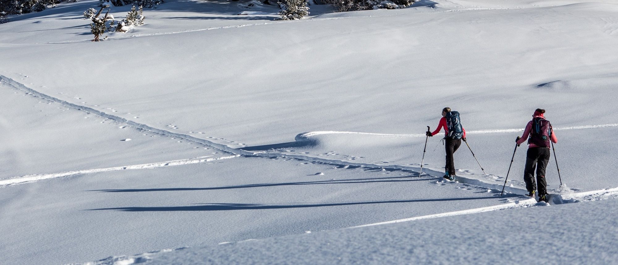
At 1327 meters, ski along this unique trail set against the dramatic Montagnette lunar landscape, from December to April!
- Difficoltà
-
difficile
- Valutazione
-
- Percorso
-
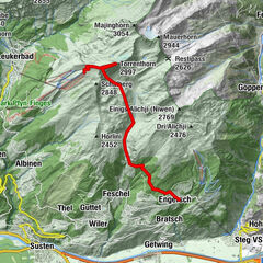
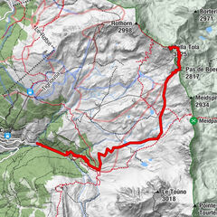
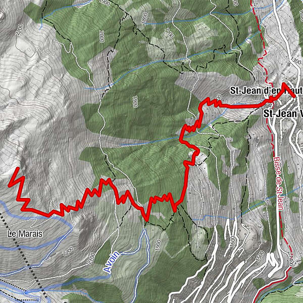
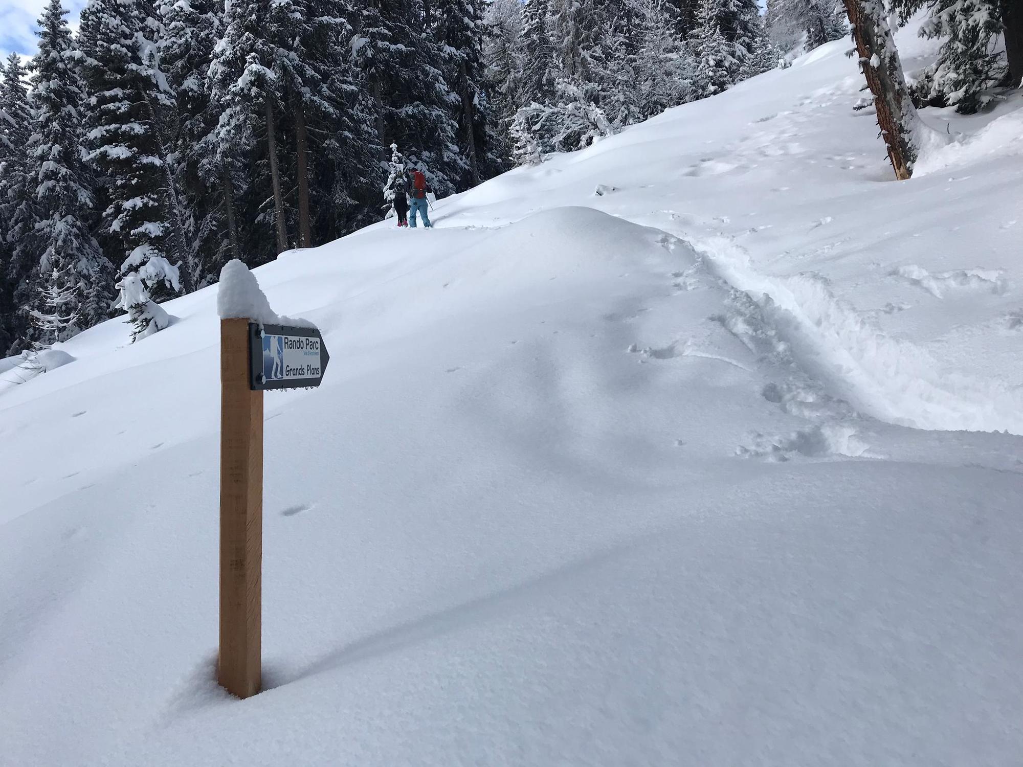
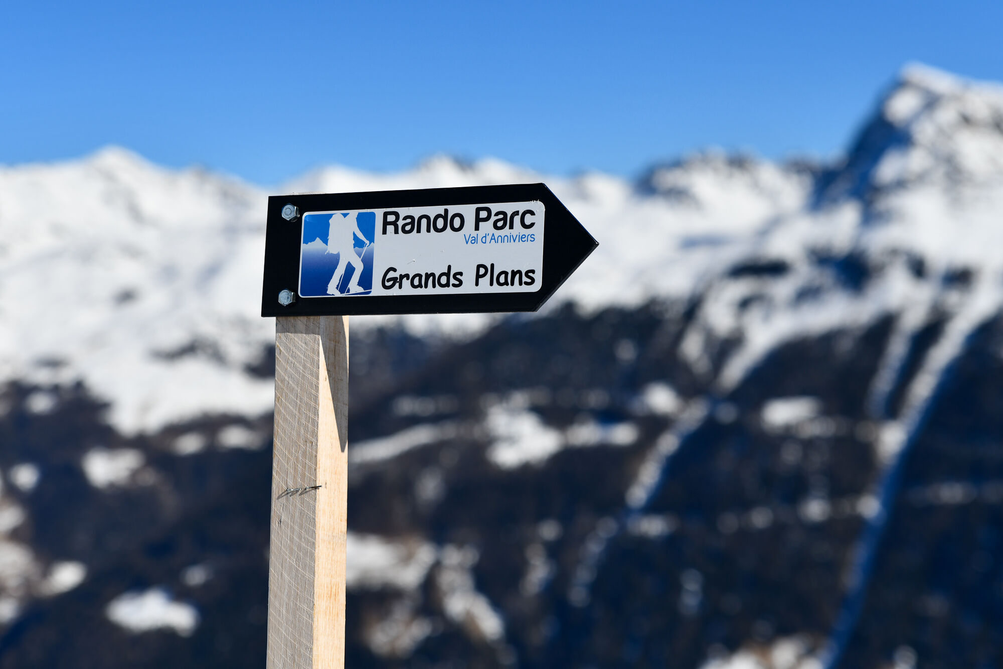
St-Jean VSLa Gougra0,0 kmSt-Jean d'en Haut0,3 km
- Punto più alto
- 2.463 m
- Destinazione
-
Sommet du télésiège des Grands Plans
- Profilo altimetrico
-
 © outdooractive.com
- Autore
-
Il tour Grimentz : Rando Parc / Grands Plans è utilizzato da outdooractive.com fornito.
GPS Downloads


Info generali
Promettente
Altri tour nelle regioni