© Unbekannt - Sierre Anniviers Tourisme

© Unbekannt - Sierre Anniviers Tourisme

© Unbekannt - Sierre Anniviers Tourisme

- Descrizione rapida
-
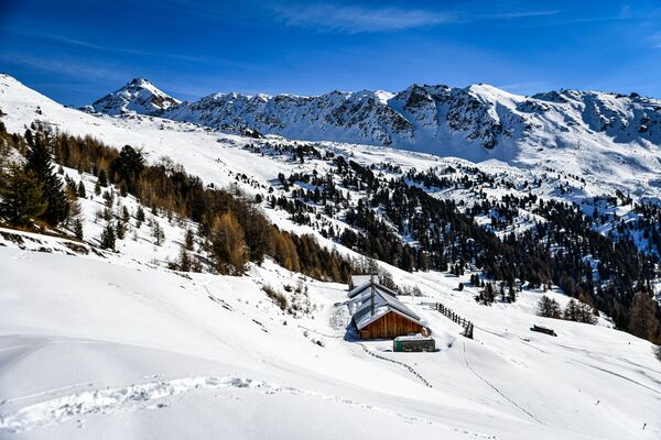
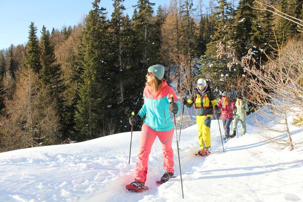
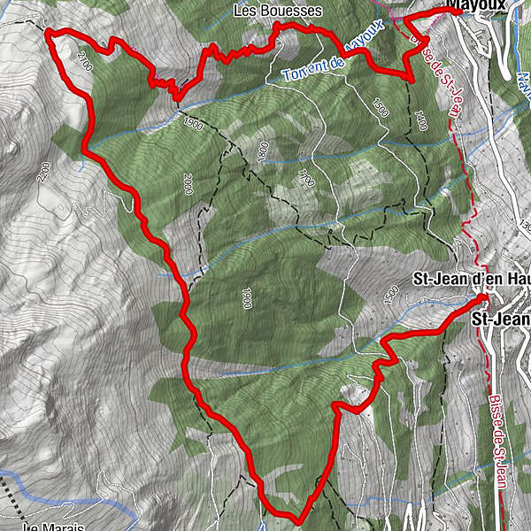
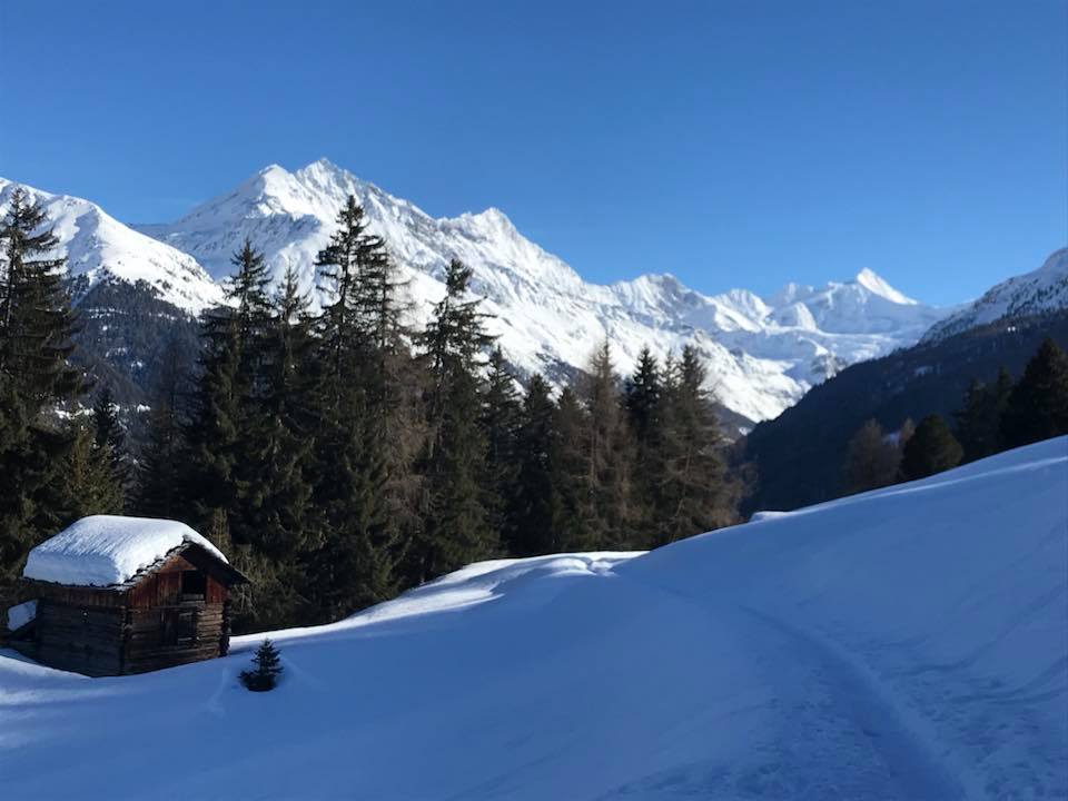
The Orzival route is relatively demanding, with nearly 1,000 vertical metres of ascent to Orzival followed by a long descent to reach Mayoux. But the various stages of the itinerary, which take walkers through wild and pristine natural landscapes, plus the magnificent views from Orzival, make for a hike in a class of its own.
- Difficoltà
-
difficile
- Valutazione
-
- Percorso
-
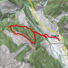
St-Jean VSSt-Jean d'en Haut0,0 kmLes Bouesses7,3 kmMayoux9,0 kmLa Puchotaz9,0 km
- La stagione migliore
-
agosetottnovdicgenfebmaraprmaggiulug
- Punto più alto
- 2.133 m
- Destinazione
-
Mayoux
- Profilo altimetrico
-
 © outdooractive.com
-

-
AutoreIl tour Snowshoe trail from St-Jean to Mayoux è utilizzato da outdooractive.com fornito.
GPS Downloads


Info generali
Promettente
Altri tour nelle regioni