© Valais/Wallis Promotion - Verbier Promotion SA


- Descrizione rapida
-
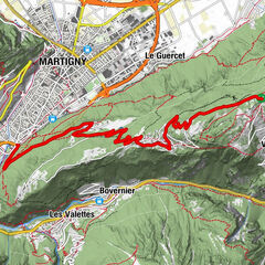
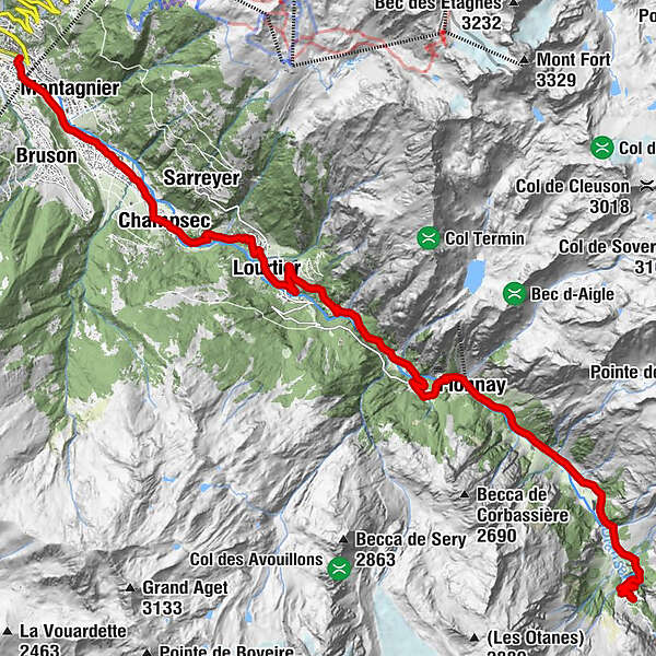
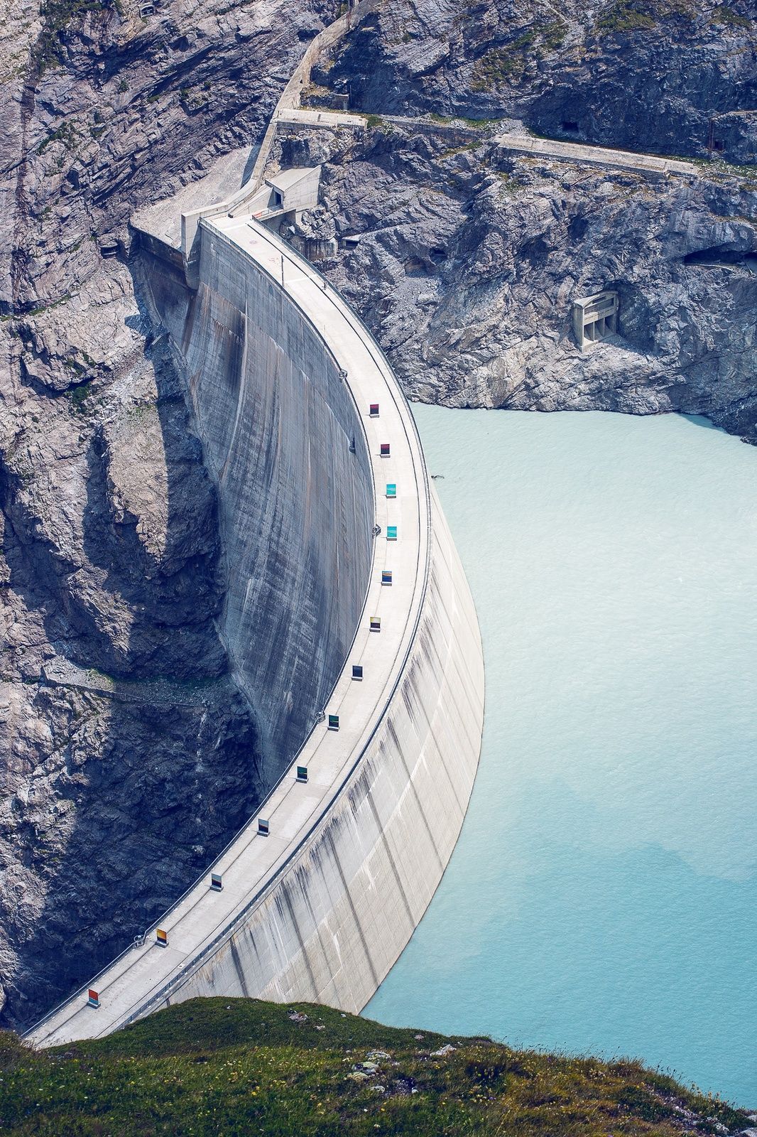
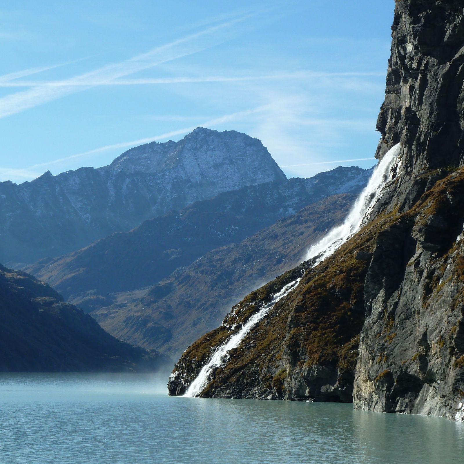
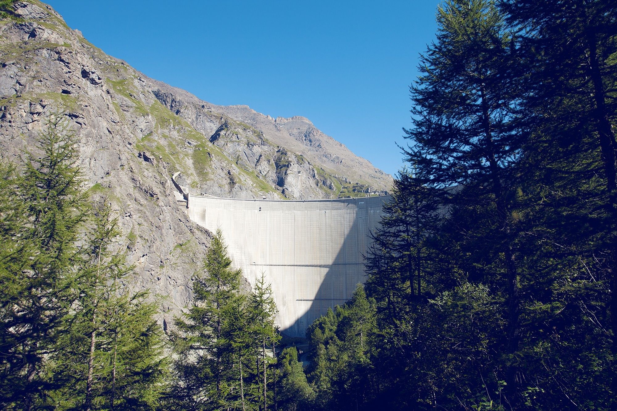
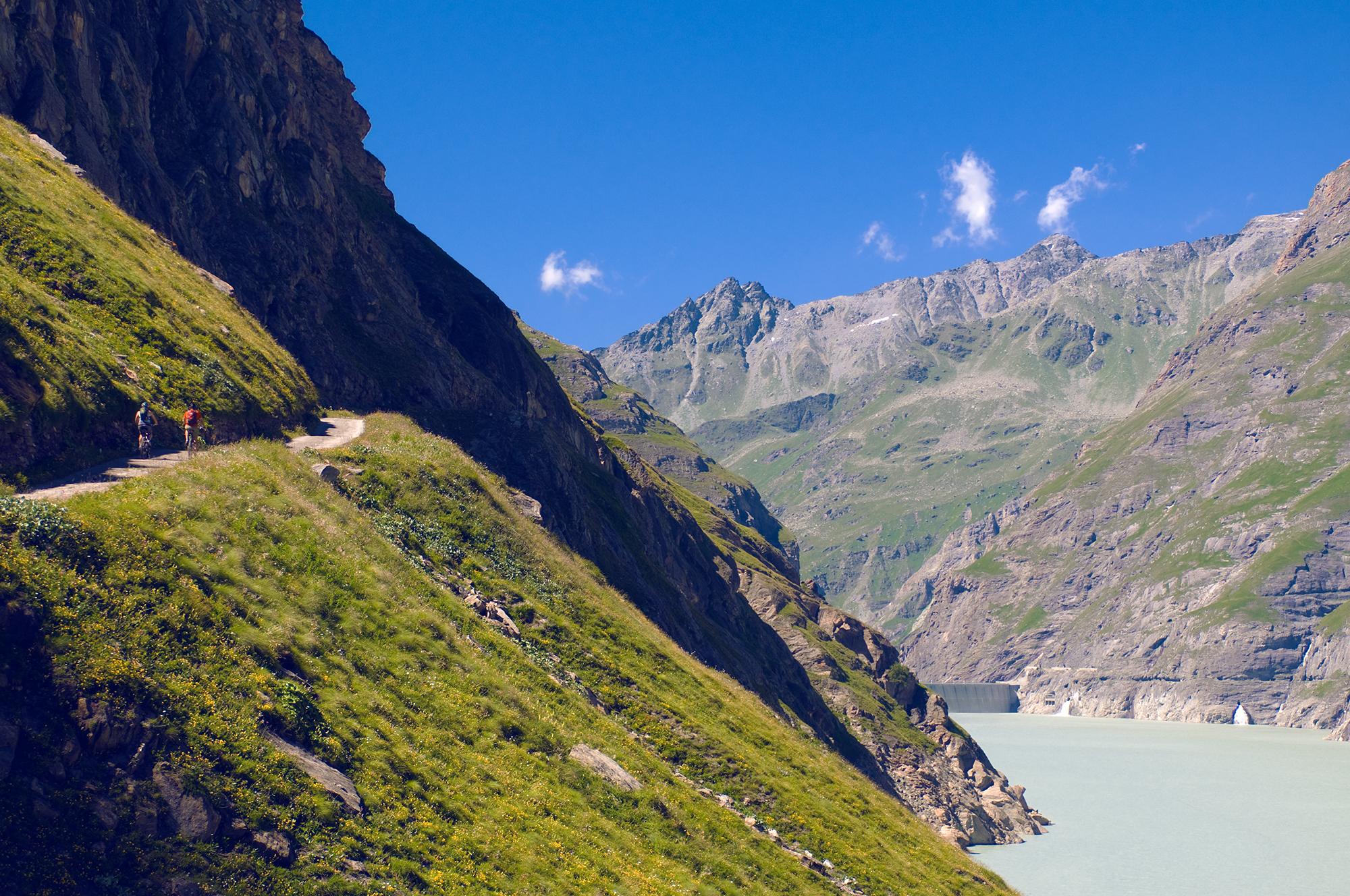
This route consists of a climb to Mauvoisin dam from Le Châble and offers a view of Mont Rogneux, the Rosablanche and the Grand Combin.
- Difficoltà
-
difficile
- Valutazione
-
- Percorso
-
VilletteLe Châble0,1 kmChapelle Saint-Marc0,5 kmMontagnier1,0 kmLe Martinet1,6 kmLa Petite Auberge2,4 kmVersegères2,5 kmLes Places3,1 kmLa Montoz3,3 kmChampsec3,7 kmLe Fregnoley4,7 kmLe Planchamp5,3 kmLes Carrets5,5 kmLes Morgnes5,9 kmLa Ruine6,3 kmLourtier6,4 kmLes Zires7,1 kmLe Dzora7,4 kmTsanton d'Ernai9,5 kmLe Plamproz10,4 kmLe Mayen du Revers10,9 kmFionnay (1.491 m)12,5 kmLe Brecholey13,8 kmLes Quarts14,4 kmBonatchiesse (1.577 m)14,5 kmCafé de la promenade14,6 kmMadzeria16,3 kmMauvoisin18,1 km
- La stagione migliore
-
genfebmaraprmaggiulugagosetottnovdic
- Punto più alto
- 1.838 m
- Destinazione
-
Restaurant de Mauvoisin
- Profilo altimetrico
-
 © outdooractive.com

- Autore
-
Il tour Mauvoisin - Trophy of the Dams è utilizzato da outdooractive.com fornito.
GPS Downloads


Info generali
Punto di ristoro
Culturale/Storico
Promettente
Altri tour nelle regioni
-
Unterwallis
83
-
Verbier
50
-
Bruson
13