Vineyard Trail from Martigny to Sion (stage 1)

Bicicletta
© Valais/Wallis Promotion - Christian Pfammatter


- Descrizione rapida
-
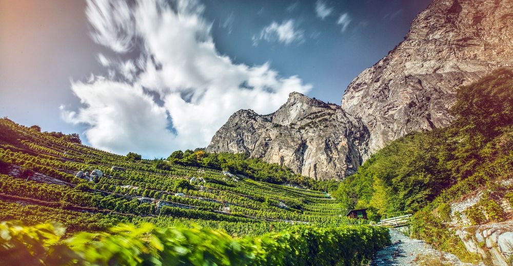
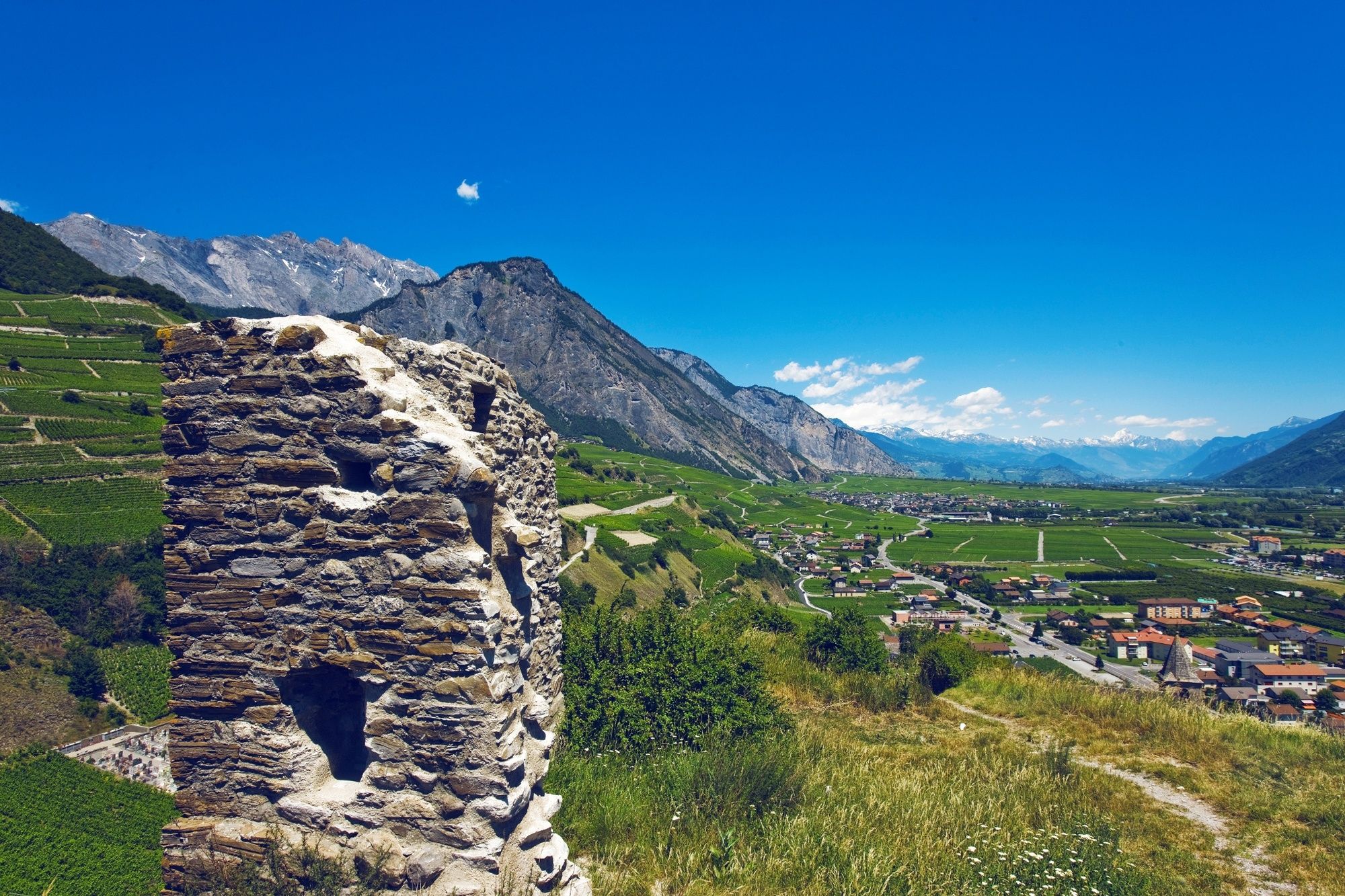
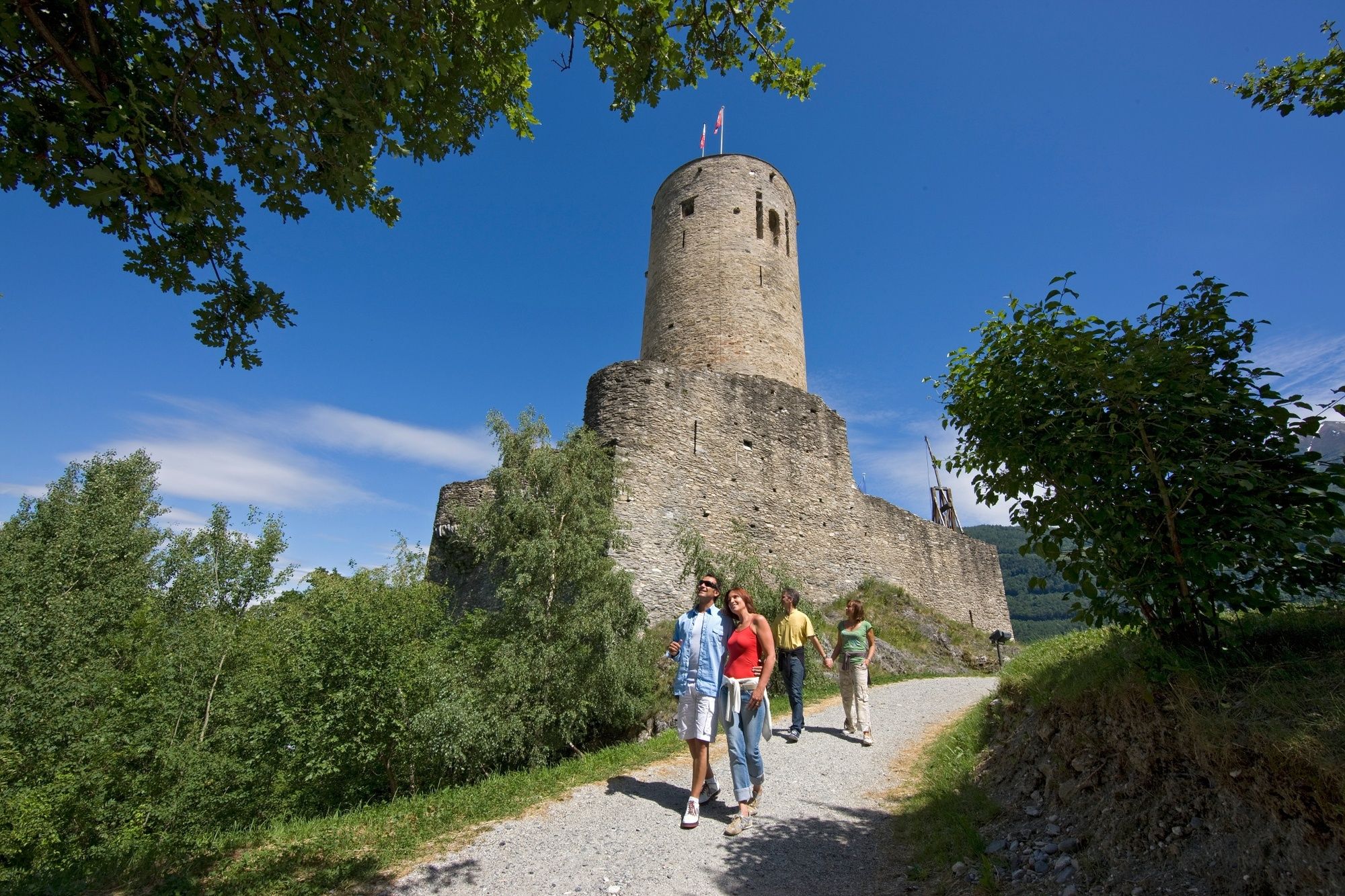
The Wine Trail, which was inaugurated in 2007, is the best way to discover Valais and its vineyards. Have a break in a winery and taste typical Valais wines.
- Difficoltà
-
intermedio
- Valutazione
-
- Percorso
-
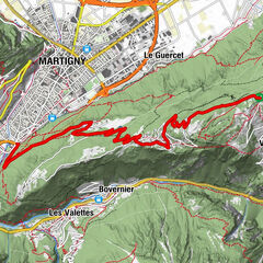
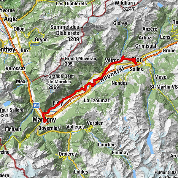
Martigny (467 m)Martigny0,8 kmBranson5,2 kmFully (461 m)7,4 kmChâtaignier8,5 kmSaxé9,3 kmMazembroz10,0 kmSaillon14,7 kmLeytron18,6 kmSaint-Pierre-de-Clages22,5 kmEglise de St-Pierre-de-Clages22,6 kmArdon (503 m)26,1 kmVétroz (483 m)29,1 kmPlan-Conthey (511 m)30,9 kmVuisse32,3 kmLa Muraz35,0 kmSaint-Guérin38,4 kmSitten (515 m)39,0 km
- La stagione migliore
-
genfebmaraprmaggiulugagosetottnovdic
- Punto più alto
- 657 m
- Destinazione
-
Sion (train station)
- Profilo altimetrico
-
 © outdooractive.com


- Autore
-
Il tour Vineyard Trail from Martigny to Sion (stage 1) è utilizzato da outdooractive.com fornito.
GPS Downloads


Info generali
Punto di ristoro
Culturale/Storico
Suggerimento
Promettente
Altri tour nelle regioni
-
Thyon les Collons
107
-
Coteaux du Soleil
57
-
Leytron
9