- Descrizione rapida
-
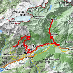
Gampel - Siders in bicicletta
- Difficoltà
-
intermedio
- Valutazione
-
- Punto di partenza
-
Gampel
- Percorso
-
Gampel-Steg (632 m)0,1 kmGampilgaar (Niedergesteln)0,4 kmGampel3,1 kmEggu4,7 kmRestaurant Seilbahn (1.518 m)4,7 kmRestaurant Bielti (1.490 m)4,7 kmJeizinen (1.525 m)4,9 kmKirche Geburt Mariens5,2 kmBiälti5,3 kmBrumatten5,4 kmAchermatten5,5 kmRestaurant Park (1.532 m)6,5 kmJeizinen SJN (1.530 m)6,9 kmTrogachra7,0 kmEngersch7,9 kmErschmatt (1.228 m)11,9 kmBratsch13,4 kmUnter Rotafen16,6 kmOber Rotafen16,6 kmSusten (630 m)19,2 kmLeuk Stadt (731 m)19,9 kmKirche19,9 kmVaronne22,2 kmVarensis22,8 kmSonne26,2 kmKirche St. Johann Baptist26,5 kmSalgesch (581 m)26,6 kmGlarey29,8 kmMuraz31,0 kmVilla31,9 kmSiders (534 m)32,5 kmSiders (533 m)32,7 km
- La stagione migliore
-
genfebmaraprmaggiulugagosetottnovdic
- Descrizione
-
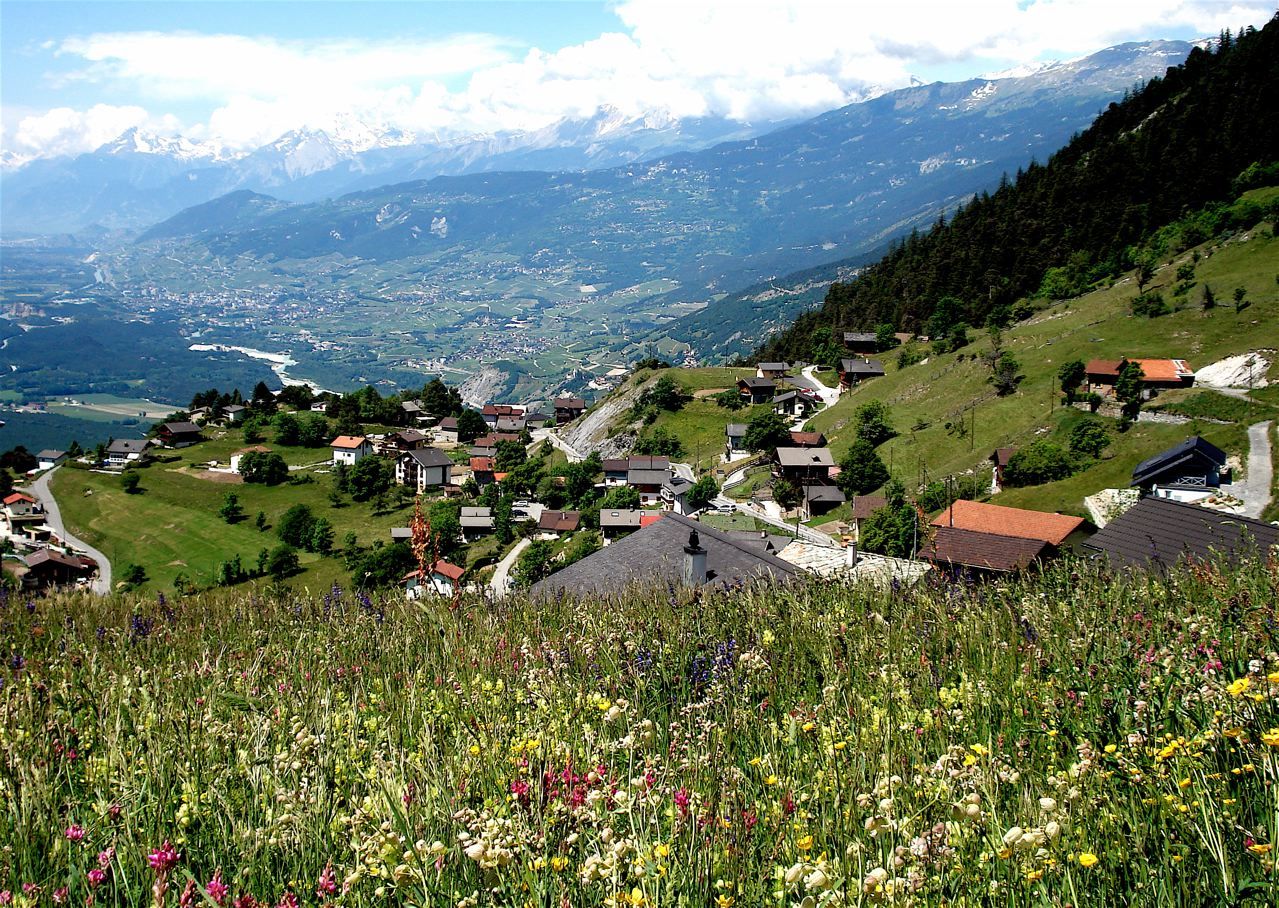
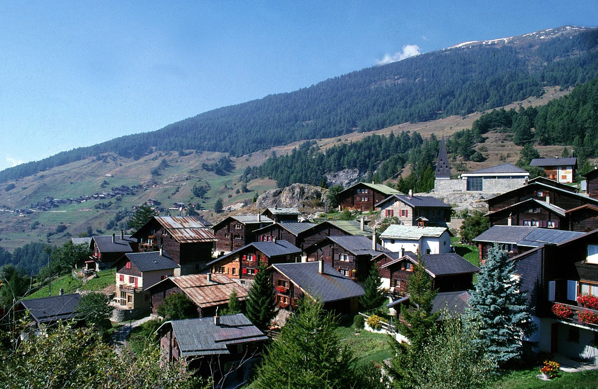
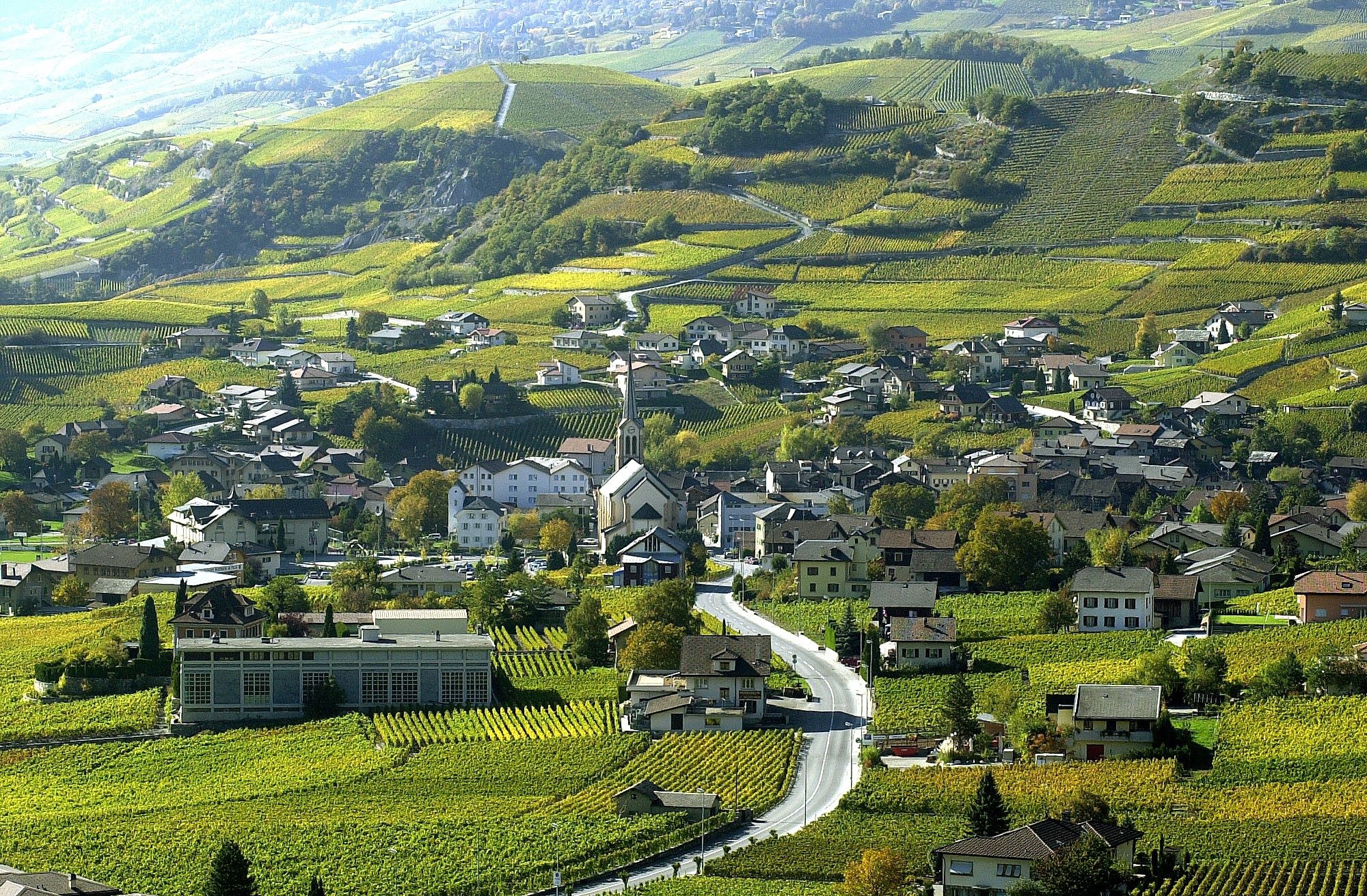
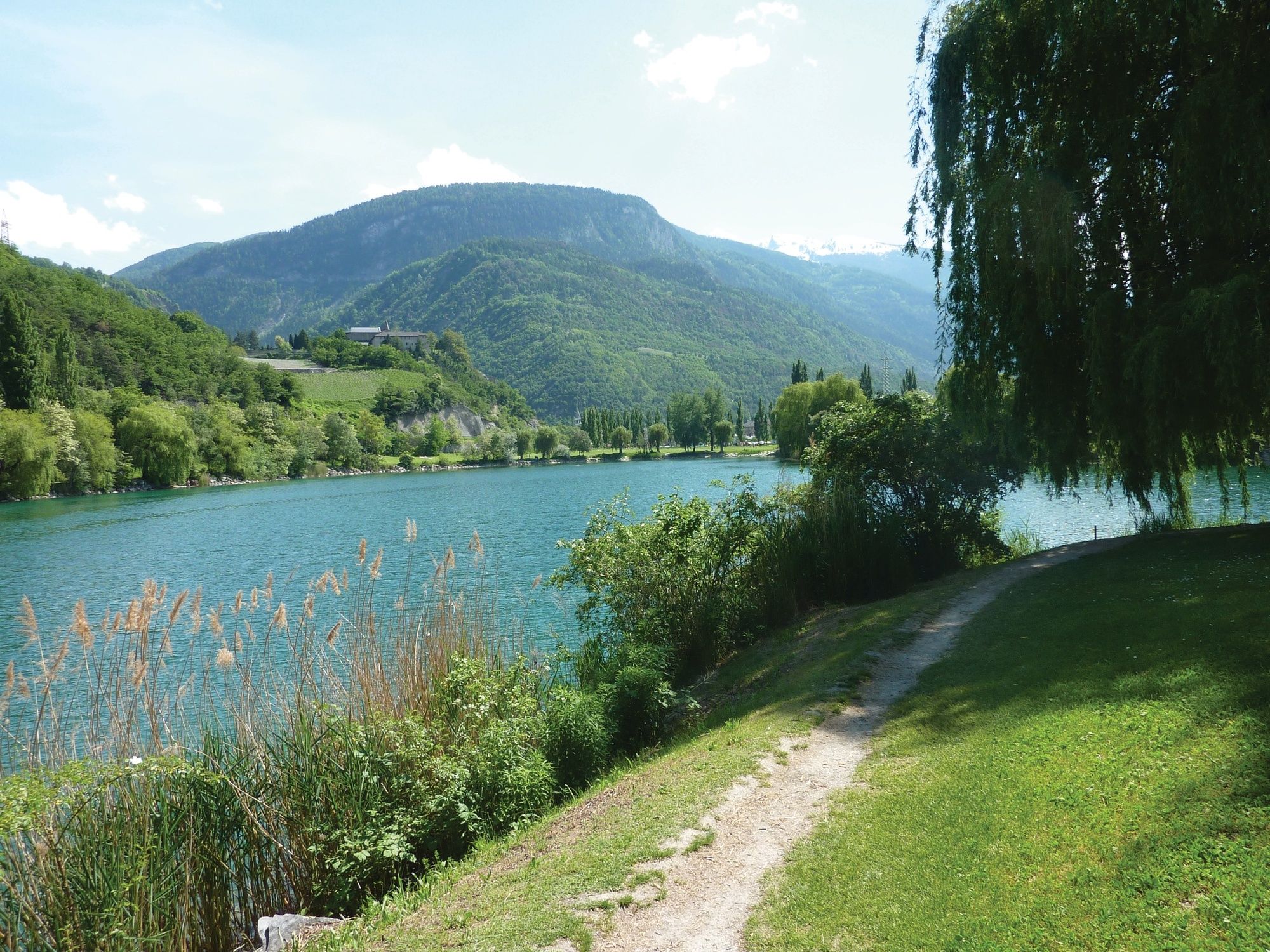
Partenza con la funivia Gampel - Jeizinen. Da Jeizinen il cammino prosegue fino a Erschmatt e / o Feschel-Guttet. Fra Leuk e Varen si attraversa la Dalaschlucht. La discesa fino alla stazione di Siders passa per Salgesch.
- Punto più alto
- 1.585 m
- Destinazione
-
Sierre
- Profilo altimetrico
-
 © outdooractive.com
- Autore
-
Il tour Gampel - Siders in bicicletta è utilizzato da outdooractive.com fornito.
GPS Downloads
Altri tour nelle regioni
-
Oberwallis
133
-
Turtmanntal
70
-
Agarn
25