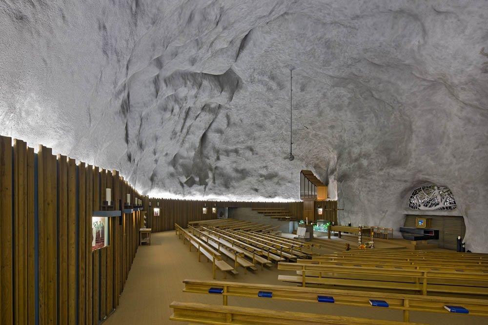
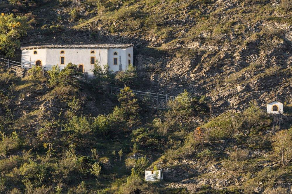
© Pilgerwege Schweiz - Thomas Andermatten, Brig

© Pilgerwege Schweiz - Thomas Andermatten, Brig
© Pilgerwege Schweiz - Thomas Andermatten, Brig
© Pilgerwege Schweiz - Thomas Andermatten, Brig

© Pilgerwege Schweiz - Thomas Andermatten, Brig
© Pilgerwege Schweiz - Thomas Andermatten, Brig
© Pilgerwege Schweiz - Thomas Andermatten, Brig
© Pilgerwege Schweiz - Thomas Andermatten, Brig
© Pilgerwege Schweiz - Thomas Andermatten, Brig
© Pilgerwege Schweiz - Thomas Andermatten, Brig
- Descrizione rapida
-
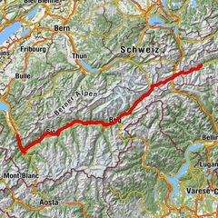
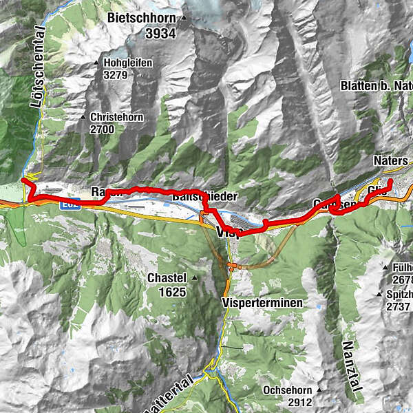
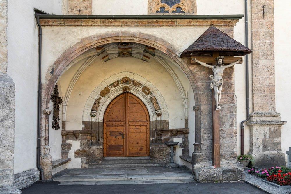
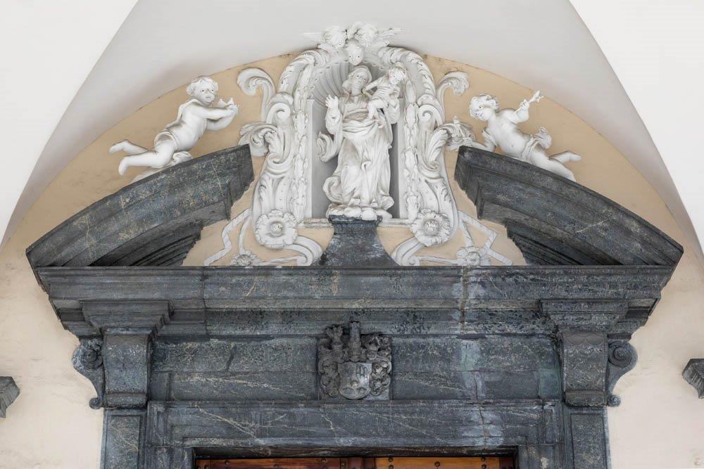
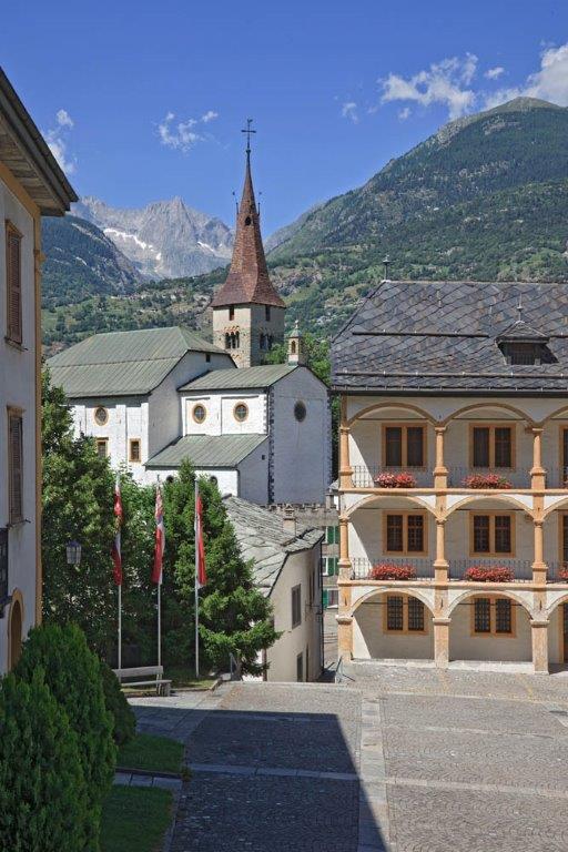
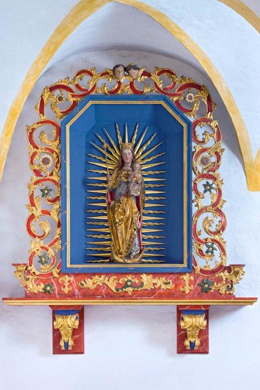
Der Rhein-Reuss-Rhôneweg verbindet die Graubündner Surselva bis in die Nähe des Genfersees. Vom Beginn in Disentis über die Pässe Oberalp und Furka bis ins Walliser Goms sind wir, heute nochmals bis Hälfte der Etappe, im Gebirge auf über 1000 m unterwegs.
- Difficoltà
-
intermedio
- Valutazione
-
- Percorso
-
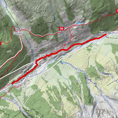
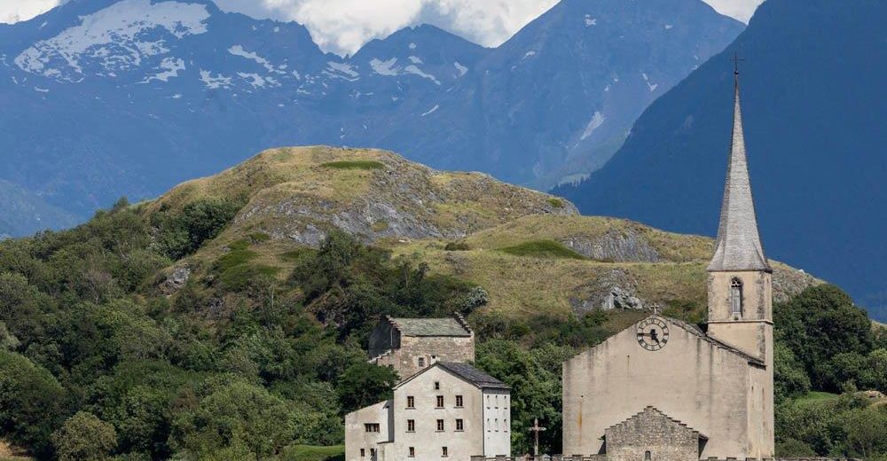
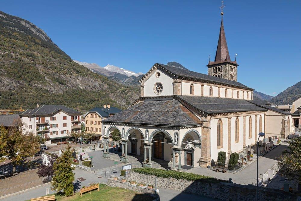
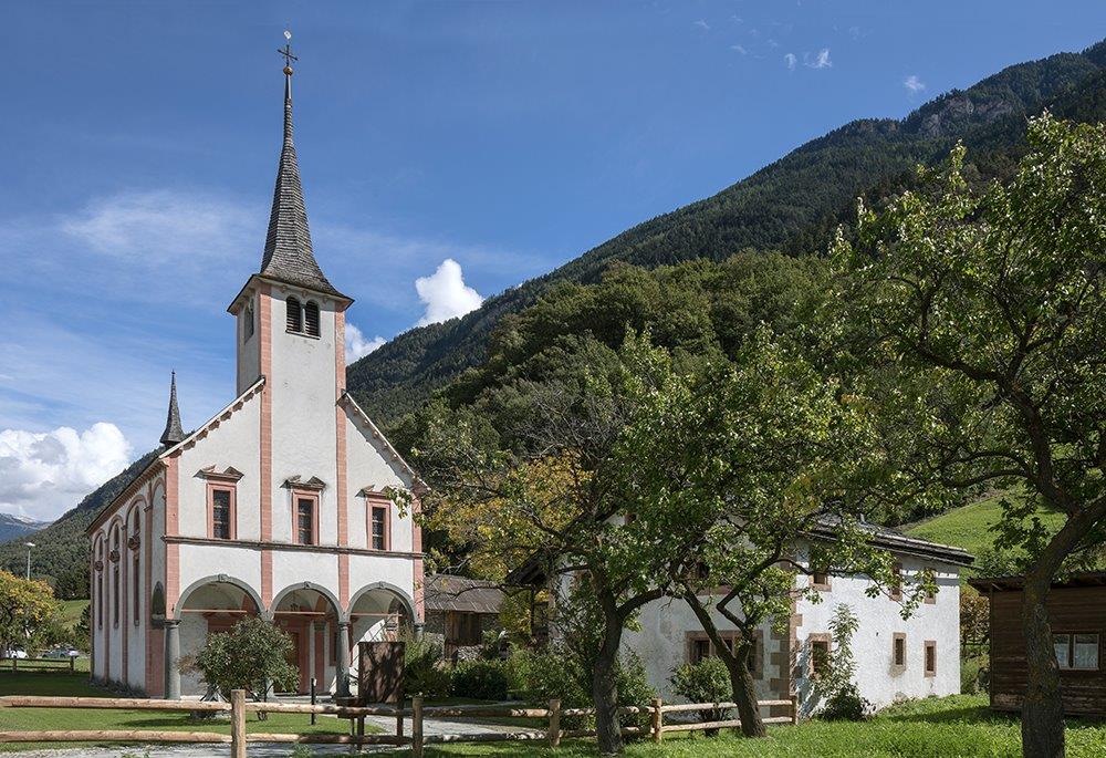
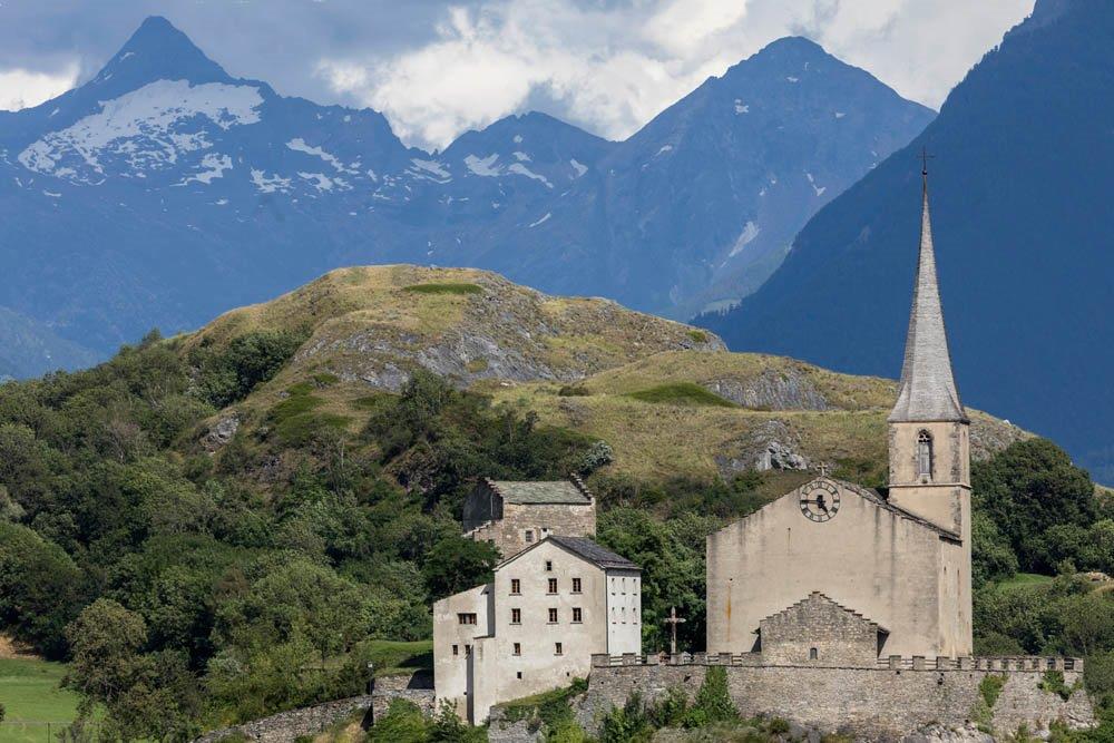
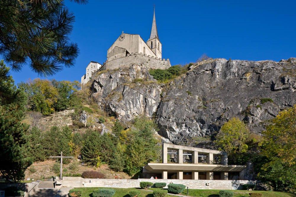
Briga (691 m)0,0 kmSebastianskapelle0,0 kmGlis1,4 kmUnserer Lieben Frau vom Glisacker1,5 kmGamsen4,7 kmObri Riiti8,1 kmBrigerbad8,5 kmEyholz9,2 kmLalden9,7 kmVisp (658 m)11,8 kmViège (651 m)12,2 kmEschigrund14,0 kmBaltschieder (658 m)14,9 kmZum Steibock15,0 kmMuttergotteskapelle15,2 kmAusserberg16,3 kmUnner Chalchofo18,3 kmChalchofokapelle18,5 kmLauber (750 m)19,1 kmSankt German19,1 kmTscherggen19,6 kmSt. Anna19,7 kmRotigoblatt19,9 kmRarogne21,1 kmSteg VS26,5 kmÜärich26,6 kmGampel26,9 km
- La stagione migliore
-
genfebmaraprmaggiulugagosetottnovdic
- Punto più alto
- 899 m
- Destinazione
-
Gampel-Steg im Ortszentrum
- Profilo altimetrico
-
 © outdooractive.com


- Autore
-
Il tour Rhein-Reuss-Rhôneweg: Brig/Gils - Gampel è utilizzato da outdooractive.com fornito.
GPS Downloads
Info generali
Punto di ristoro
Culturale/Storico
Promettente
Altri tour nelle regioni
-
Oberwallis
1871
-
Rund um Visp
846
-
Baltschieder
163