
- Descrizione rapida
-
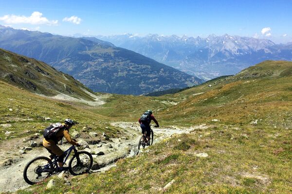
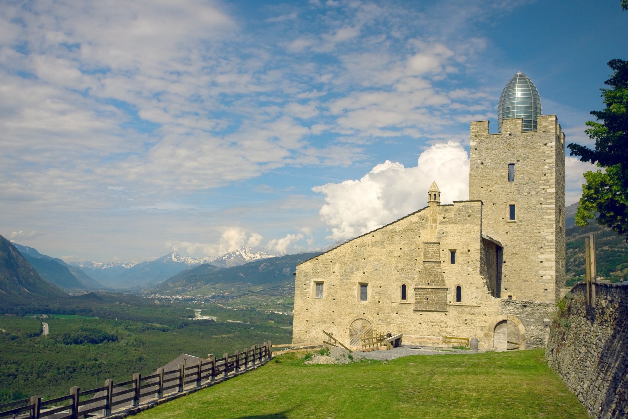
This sunny round is not only interesting from the sporting side. Sunny hamlets, sacred buildings and rustic mountain villages are part of the programme.
- Difficoltà
-
intermedio
- Valutazione
-
- Percorso
-
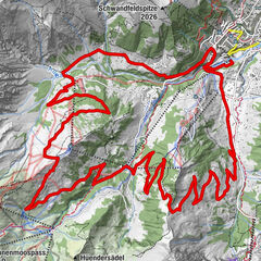
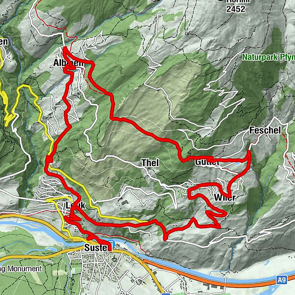
Leuk (623 m)0,1 kmSusten (630 m)0,3 kmLeuk Stadt (731 m)1,9 kmKirche1,9 kmBrunnen6,1 kmGrächmatten7,2 kmWiler8,0 kmFeschel9,1 kmGuttet10,1 kmThel11,4 kmSunnublick14,7 kmGodswärgjistubu15,0 kmPfarrkirche Heiliger Bruder Klaus15,0 kmAlbinen (1.300 m)15,0 kmKirche19,0 kmLeuk Stadt (731 m)19,1 kmSusten (630 m)20,7 kmLeuk (623 m)20,8 km
- La stagione migliore
-
genfebmaraprmaggiulugagosetottnovdic
- Punto più alto
- 1.462 m
- Destinazione
-
Susten/Leuk
- Profilo altimetrico
-
 © outdooractive.com


- Autore
-
Il tour Sunnubärga Loop è utilizzato da outdooractive.com fornito.
GPS Downloads


Info generali
Punto di ristoro
Culturale/Storico
Flora
Fauna
Promettente
Altri tour nelle regioni
-
Oberwallis
210
-
Leuk/Leukerbad
122
-
Agarn
37