© Valais/Wallis Promotion - Nicolas Mari
© Valais/Wallis Promotion - Pascal Gertschen - Pascal Gertschen

- Descrizione rapida
-
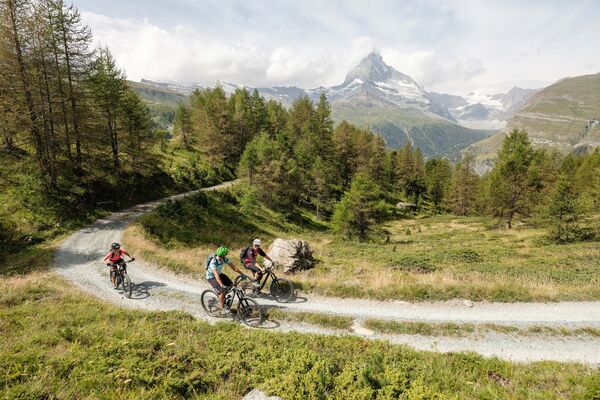
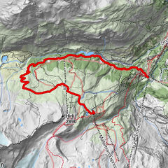
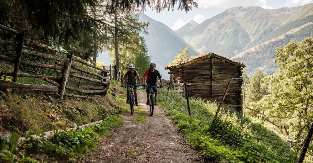
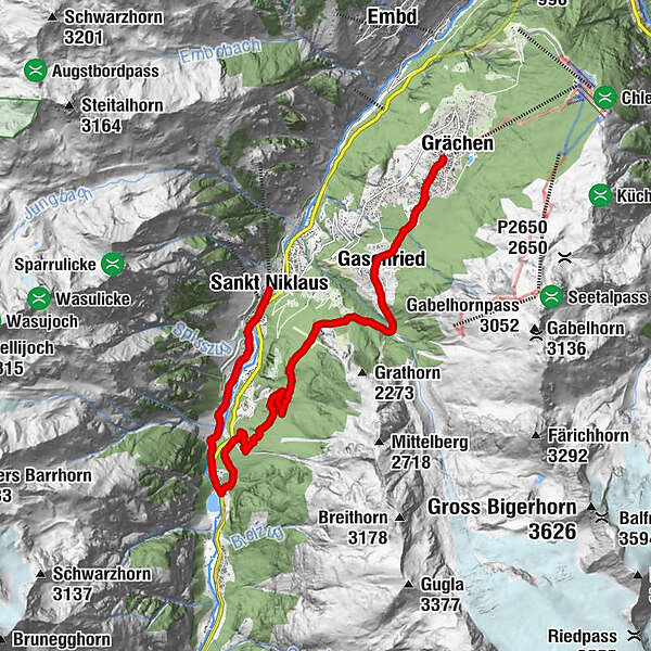
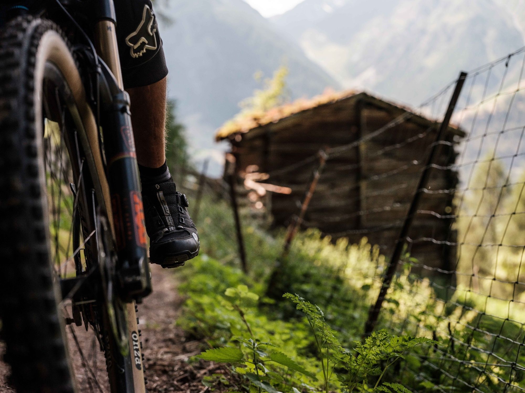
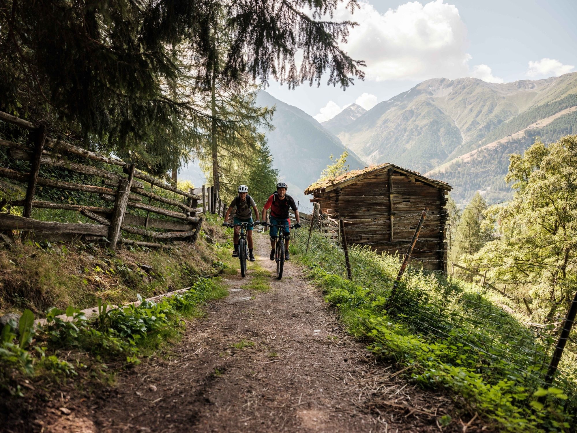
This route from Grächen to Mattsand is a classic enduro descent with plenty of trails and a spectacular view of the mountains surrounding the Mattertal Valley.
- Difficoltà
-
intermedio
- Valutazione
-
- Percorso
-
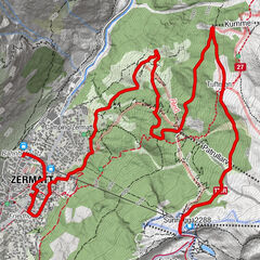
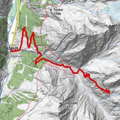
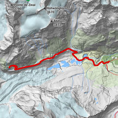
GrächenKirche Grächen0,1 kmErbji1,8 kmChäschermatte2,0 kmGasenried2,2 kmRiederstübli2,5 kmBalmu7,0 kmMamma Mia10,3 kmSchwiedernen11,8 kmStahlen12,3 kmRestaurant Monte Rosa13,6 kmSankt Niklaus13,7 km
- La stagione migliore
-
genfebmaraprmaggiulugagosetottnovdic
- Punto più alto
- 1.678 m
- Destinazione
-
St.Niklaus
- Profilo altimetrico
-
 © outdooractive.com
- Autore
-
Il tour Mattsand Enduro è utilizzato da outdooractive.com fornito.
GPS Downloads


Percorsi
Trial
Info generali
Punto di ristoro
Culturale/Storico
Suggerimento
Flora
Fauna
Promettente
Altri tour nelle regioni
-
Oberwallis
213
-
Unterbäch
107
-
Grächen - St. Niklaus
17