Dati percorsi
18,7km
1.303
- 2.310m
397hm
01:02h
- Descrizione rapida
-
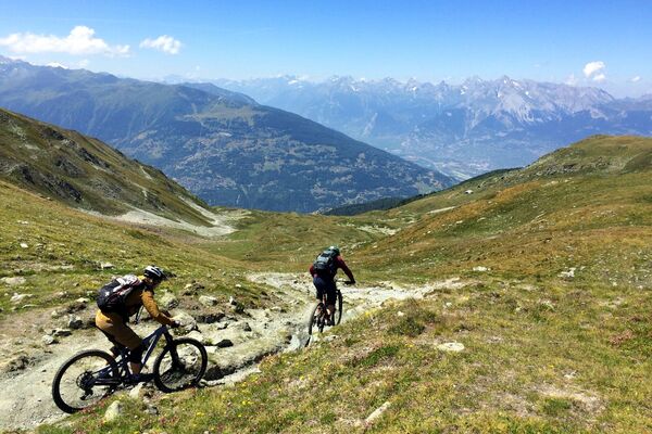
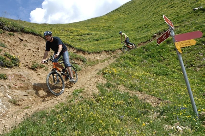
Von der Bergstation Rinderhütte über die Alpe Chermignon und Oberu direkt nach Albinen und Leukerbad!
- Valutazione
-
- Percorso
-
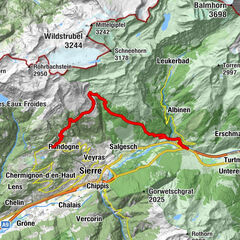
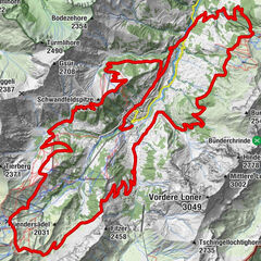
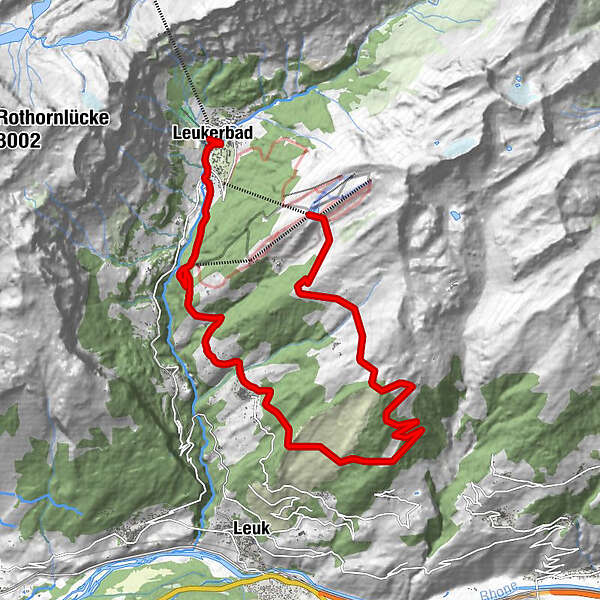
Obern5,2 kmAlbinen (1.300 m)11,9 kmDorben (1.361 m)13,5 kmLoèche-lès-Bains (1.402 m)18,3 km
- Punto più alto
- 2.310 m
GPS Downloads
Percorsi
Asfalto
Ghiaia
Vie di montagna
Singletrail
Trial
Traffico
Altri tour nelle regioni
-
Oberwallis
207
-
Leuk/Leukerbad
119
-
Albinen
48