Damüls I Waldweg "zum Oberhölderle"

Logo Damüls I Waldweg
Dati percorsi
2,58km
1.373 - 1.464m
Distanz
85hm
81hm
L'ascesa
00:45h
 
Durata
Descrizione rapida

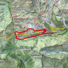
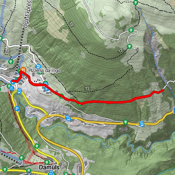
Talstation Uga-Lift - Hotel Restaurant Alpenblume - Oberhölderle - Hotel Restaurant Alpenblume - Talstation Uga-Lift

Difficoltà
facile
Valutazione
Tecnica
Forma fisica
Panorama
Avventura / Esperienza
Percorso
Pizzeria da Ingo
2,4 km

Punto più alto
1.464 m
Destinazione

Talstation Uga-Lift, Damüls

Profilo altimetrico

Autore
Il tour Damüls I Waldweg "zum Oberhölderle" è utilizzato da outdooractive.com fornito.

Valutazione complessiva

5

0

%

4

0

%

3

0

%

2

0

%

1

0

%

Errore
Si è verificato un errore. Si prega di riprovare.
Grazie per la vostra recensione

La valutazione è stata cancellata

GPS Downloads
  • GPX GPS Exchange Format (XML)
  • KML Google Earth, Google Maps
Codici di download QR per telefoni cellulari

Info generali

Promettente

Tour popolari della zona

Burtschaweg | Bürserberg

facile Escursioni invernali
10,7km | 370hm | 03:30h

Damüls | Circular hike from peak to peak

facile Escursioni invernali
7,98km | 297hm | 03:00h

Damüls | the Damüls alpine circuit

intermedio Escursioni invernali
7,73km | 324hm | 02:30h

Au-Schoppernau | Bergkristall hut

intermedio Escursioni invernali
11,17km | 374hm | 04:00h